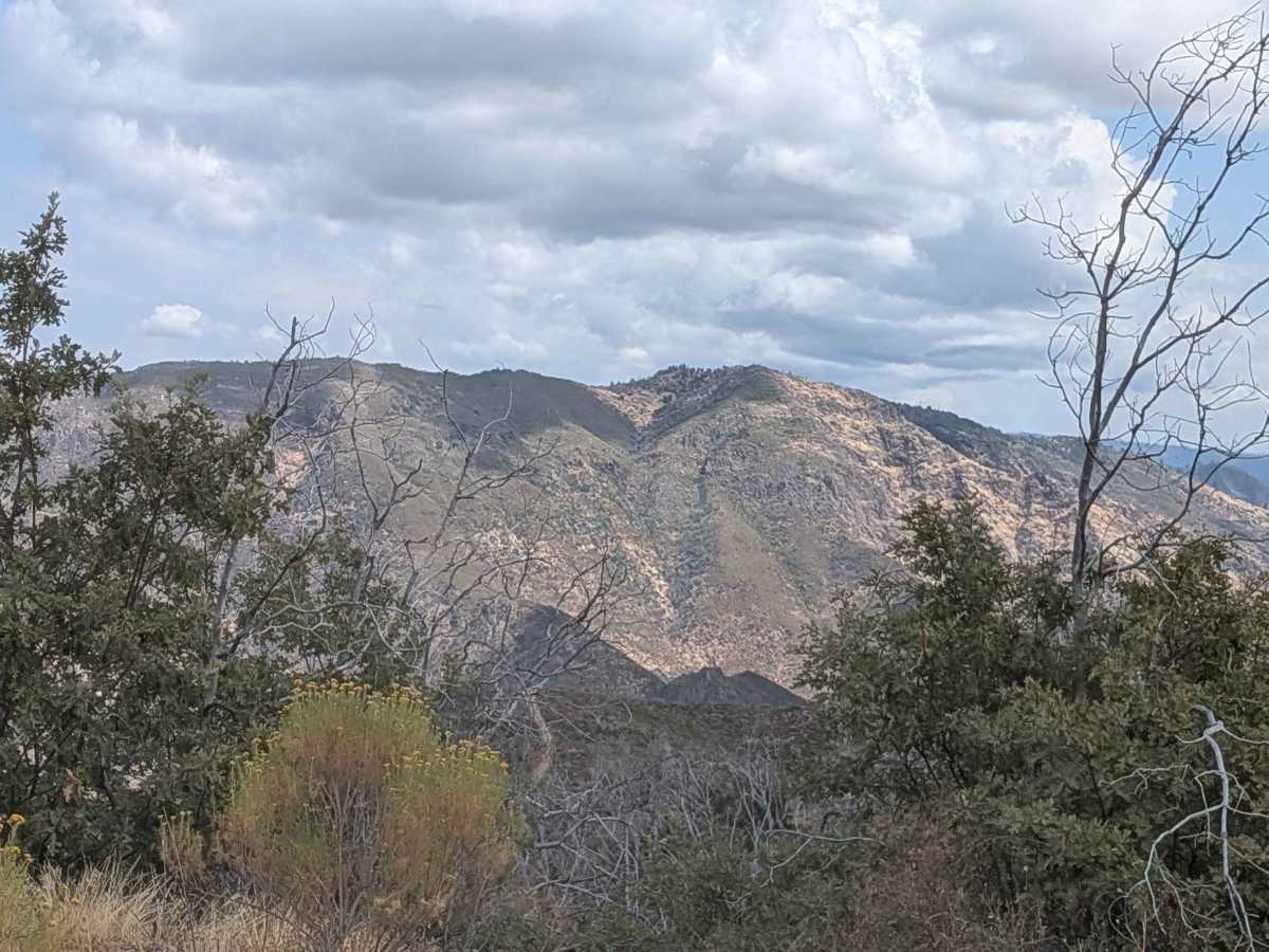
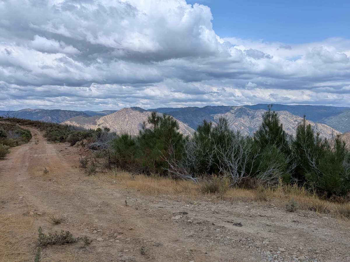
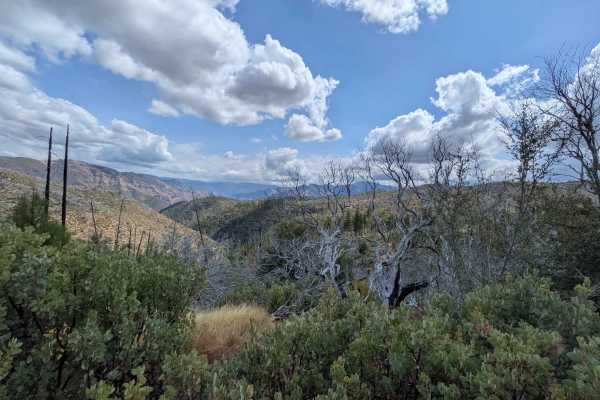
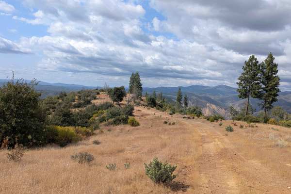
Trail Overview
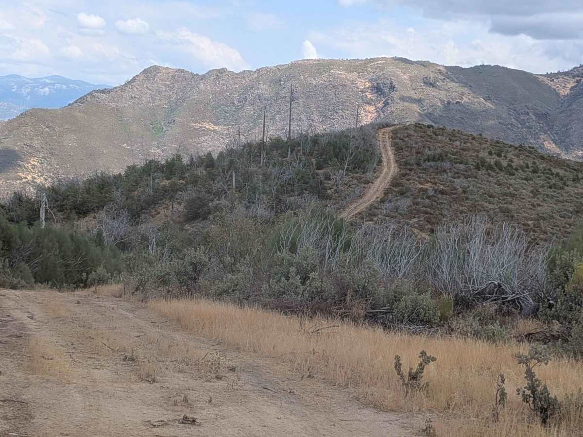
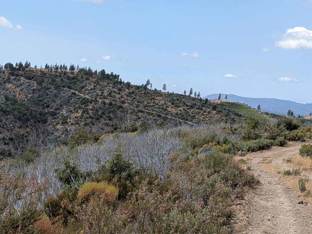
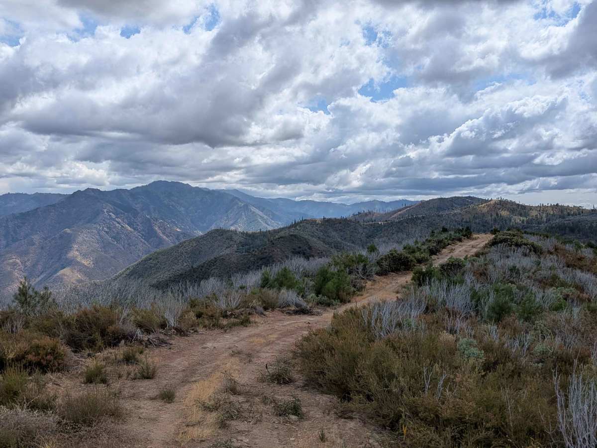
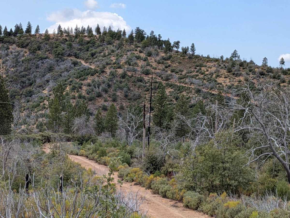
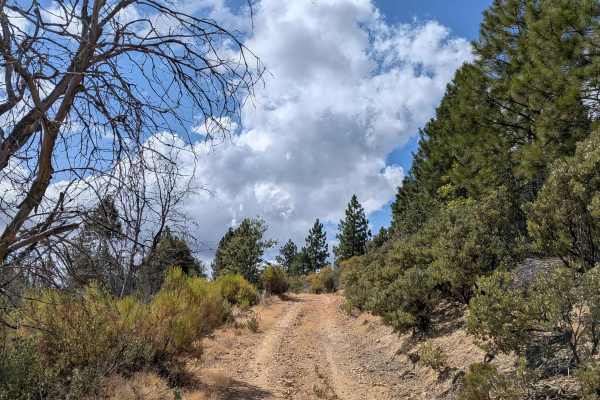
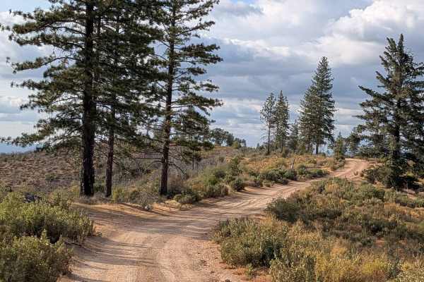
This 4-mile out-and-back trail starts at Ferguson Ridge and features dramatic elevation changes, dropping almost 2,000 feet and climbing over 350 feet across 2.5 miles of challenging terrain. The single vehicle-wide trail skirts along the ridge, providing beautiful views of the surrounding mountains and valleys below throughout the journey. The trail begins with an immediate and steep descent that drops very quickly, requiring careful speed control and making low gear highly recommended to maintain safe braking and vehicle control on the steep grades. The route features ruts and off-camber sections that add technical challenges, while the very dusty conditions can significantly reduce visibility, especially when following other vehicles. The trail follows the natural contours up and down the ridge line of the mountain, offering spectacular 360-degree views of the surrounding valleys and mountains that make the challenging drive worthwhile. At 1.5 miles in, a particularly steep hill presents a sandy and dirt surface that is easily climbed with low gear and 4x4 engagement, rewarding drivers with commanding 360-degree views of the mountains around. The trail culminates at the top of a plateau, providing an excellent turnaround point and final scenic overlook before the return journey.
Difficulty
This trail receives a difficulty rating of 3, indicating moderate to challenging conditions that require intermediate off-road driving skills and proper vehicle equipment. The extreme elevation drop at the beginning demands confident braking control and low gear usage, while the technical climb and off-camber sections require 4x4 capability and experienced handling of steep, loose terrain.