Grapevine Canyon Trail
Total Miles
13.0
Technical Rating
Best Time
Spring, Summer, Fall, Winter
Trail Type
Full-Width Road
Accessible By
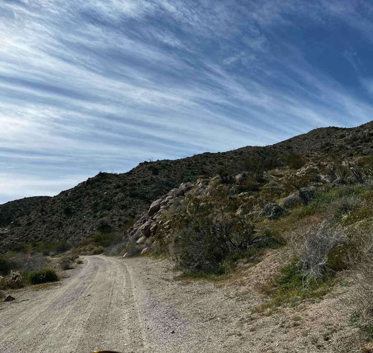
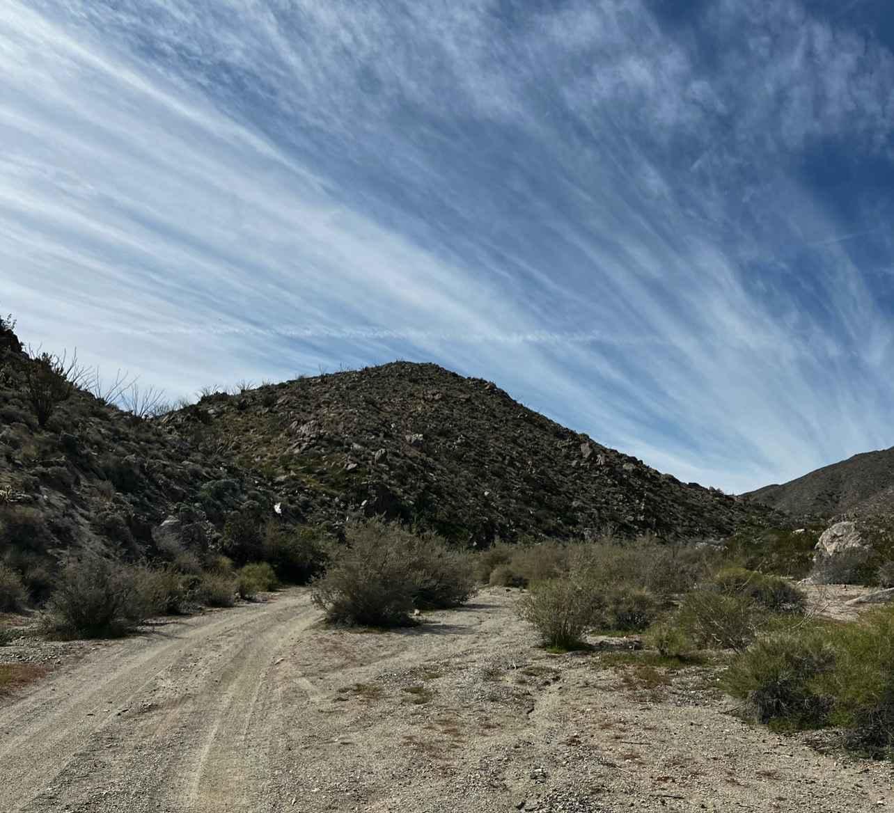
Trail Overview
The trail is mainly hard-packed dirt and some sand once in the canyon. This trail passes through private property and has signs around the area, so just be respectful when driving through the first 4 miles of the northern section of the trail. The rest of the trail goes through the Anza-Borrego Desert and can be completed with 2WD.
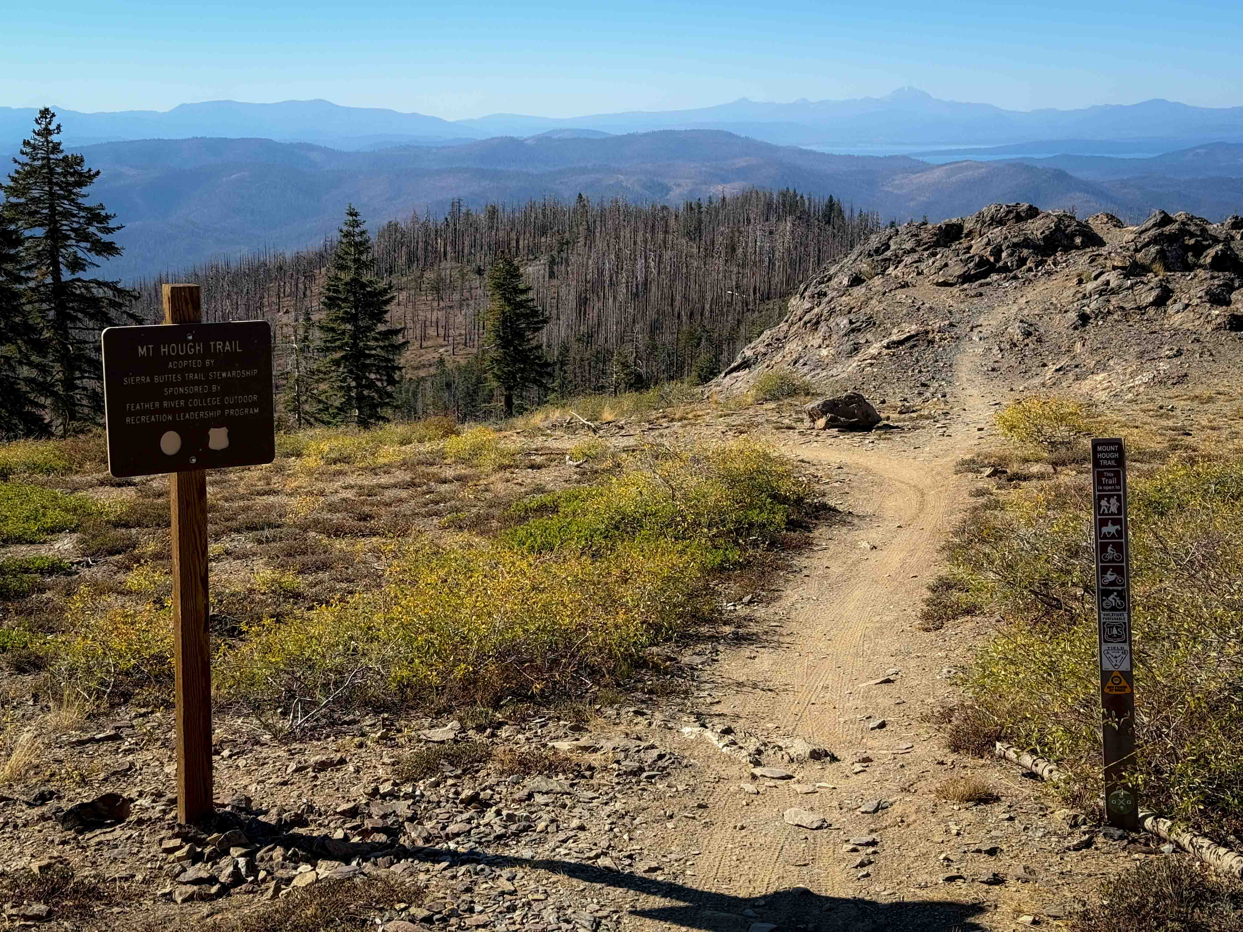
Photos of Grapevine Canyon Trail
Difficulty
The majority of the trail is smooth with the occasional small washout.
Status Reports
Grapevine Canyon Trail can be accessed by the following ride types:
- High-Clearance 4x4
- SUV
Grapevine Canyon Trail Map
Popular Trails
Greys Mountain - FS 6S008

Dunderberg Meadows
The onX Offroad Difference
onX Offroad combines trail photos, descriptions, difficulty ratings, width restrictions, seasonality, and more in a user-friendly interface. Available on all devices, with offline access and full compatibility with CarPlay and Android Auto. Discover what you’re missing today!