Granite Creek - FS 5S030
Total Miles
7.5
Technical Rating
Best Time
Summer, Fall
Trail Type
Full-Width Road
Accessible By
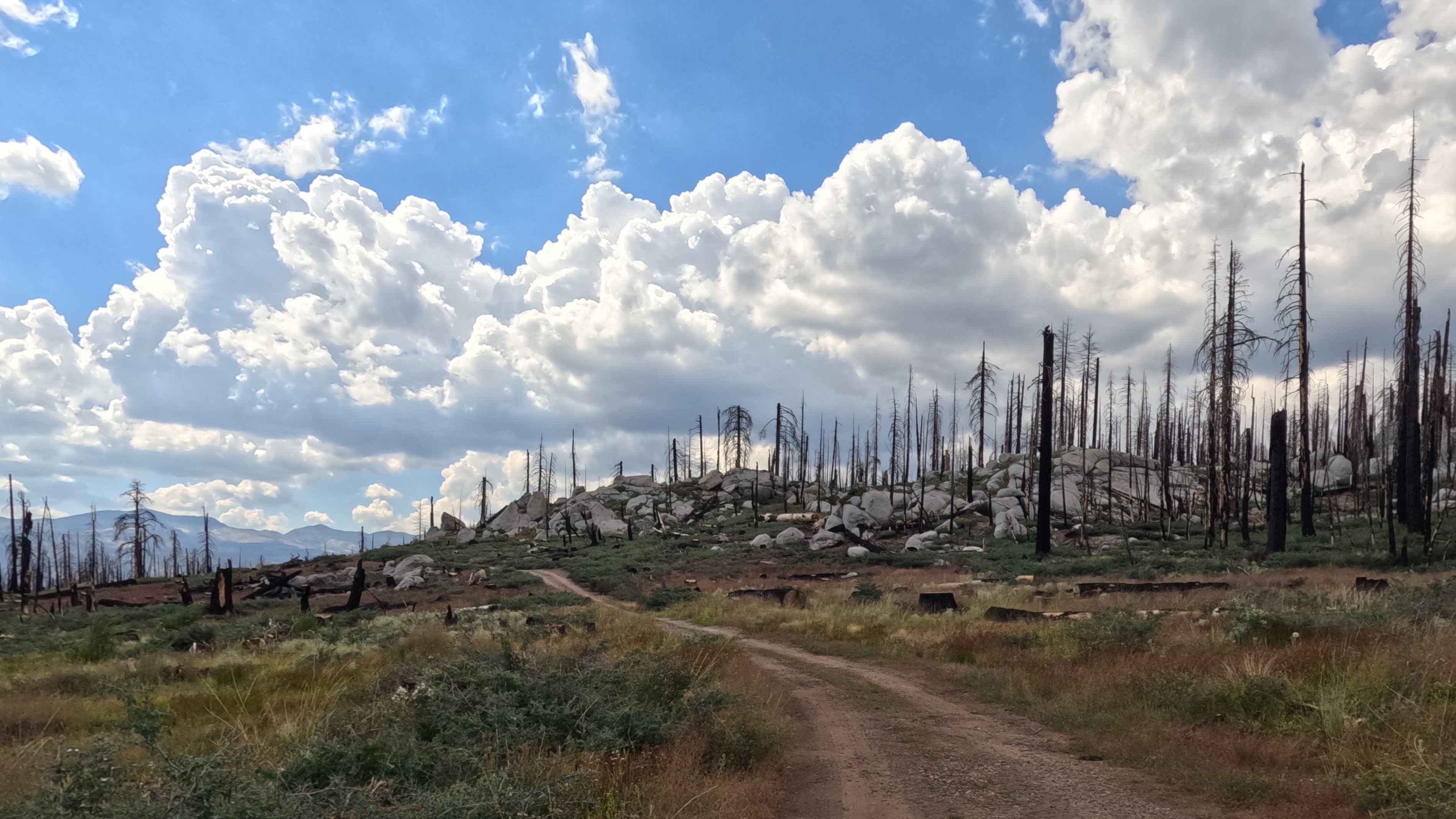
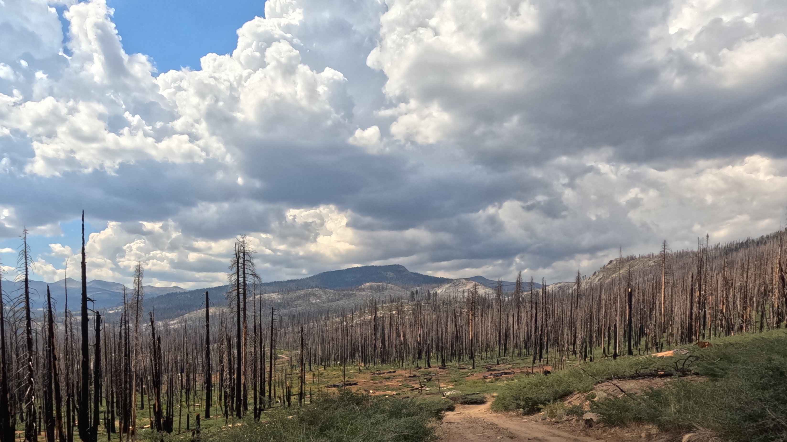
Trail Overview
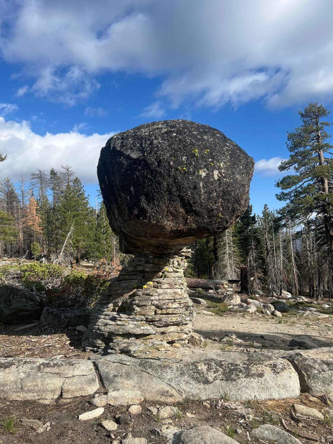
This is a 7.8-mile Forest Service road serving as the main access route in a zone severely burned by the 2020 Creek Fire. The road features massive, exposed views and passes through a landscape of skeletal snags and exposed granite boulders. The terrain is mixed: beginning with easy gravel/broken pavement and climbing to chunky rock sections at the upper end. This trail is the central hub for accessing multiple high-country trailheads and campgrounds.
Photos of Granite Creek - FS 5S030
Difficulty
The lower sections are easy, around a Rating of 1, but the difficulty increases to a Rating of 3 at the upper end due to the chunky embedded rock requiring high clearance and slower driving. The road is a great gateway to numerous spurs and outdoor activities, but the final climb demands attention.
Status Reports
Granite Creek - FS 5S030 can be accessed by the following ride types:
- High-Clearance 4x4
- SUV
Granite Creek - FS 5S030 Map
Popular Trails
West Malum Ridge - FS 7S075
Eriogonum Wash 172

Tierra del Sol
The onX Offroad Difference
onX Offroad combines trail photos, descriptions, difficulty ratings, width restrictions, seasonality, and more in a user-friendly interface. Available on all devices, with offline access and full compatibility with CarPlay and Android Auto. Discover what you’re missing today!