Long Canyon
Total Miles
5.4
Technical Rating
Best Time
Summer
Trail Type
High-Clearance 4x4 Trail
Accessible By
Trail Overview
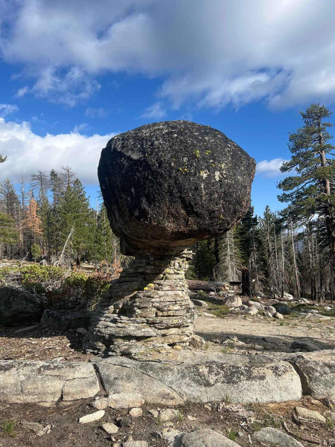
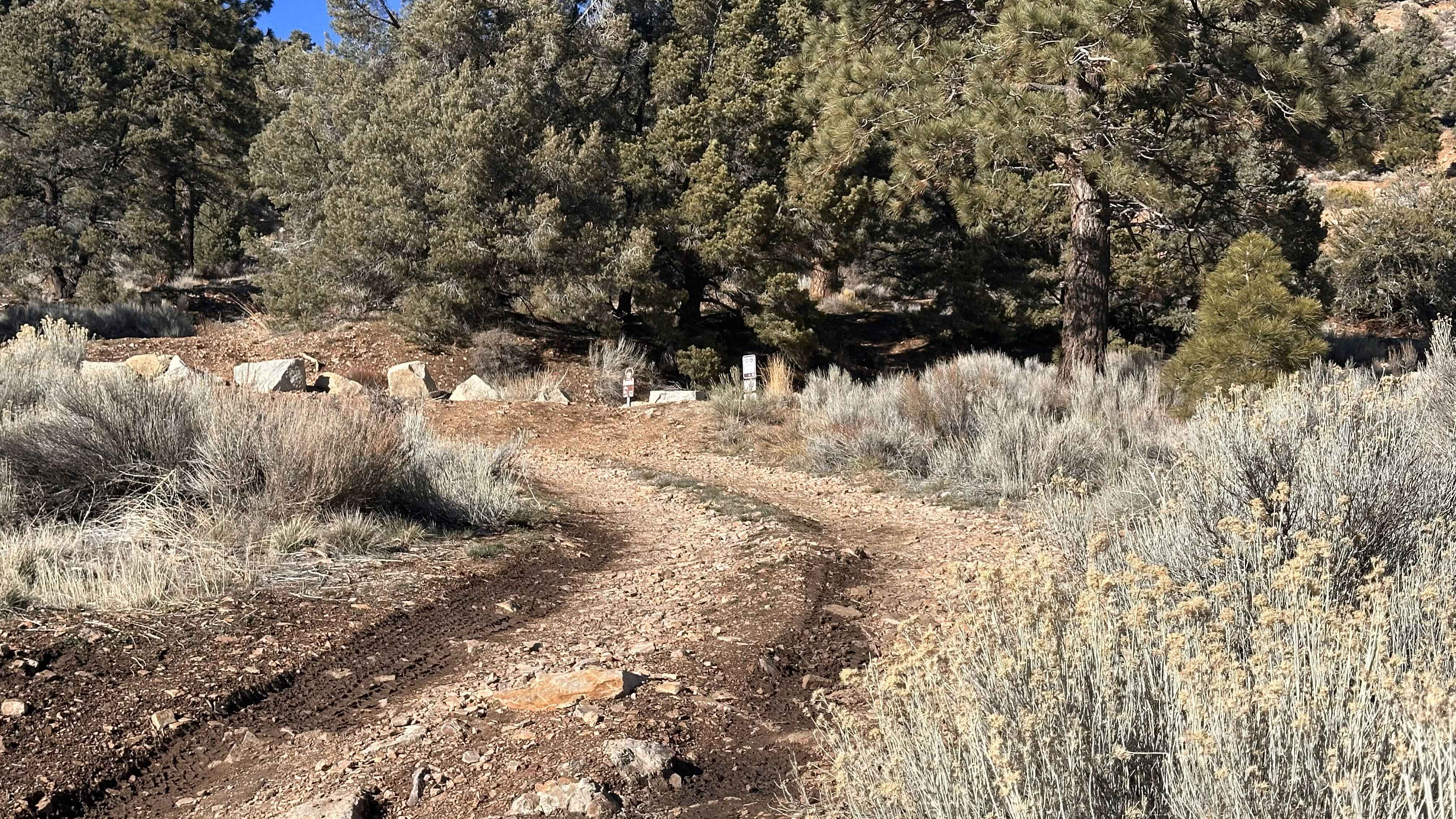
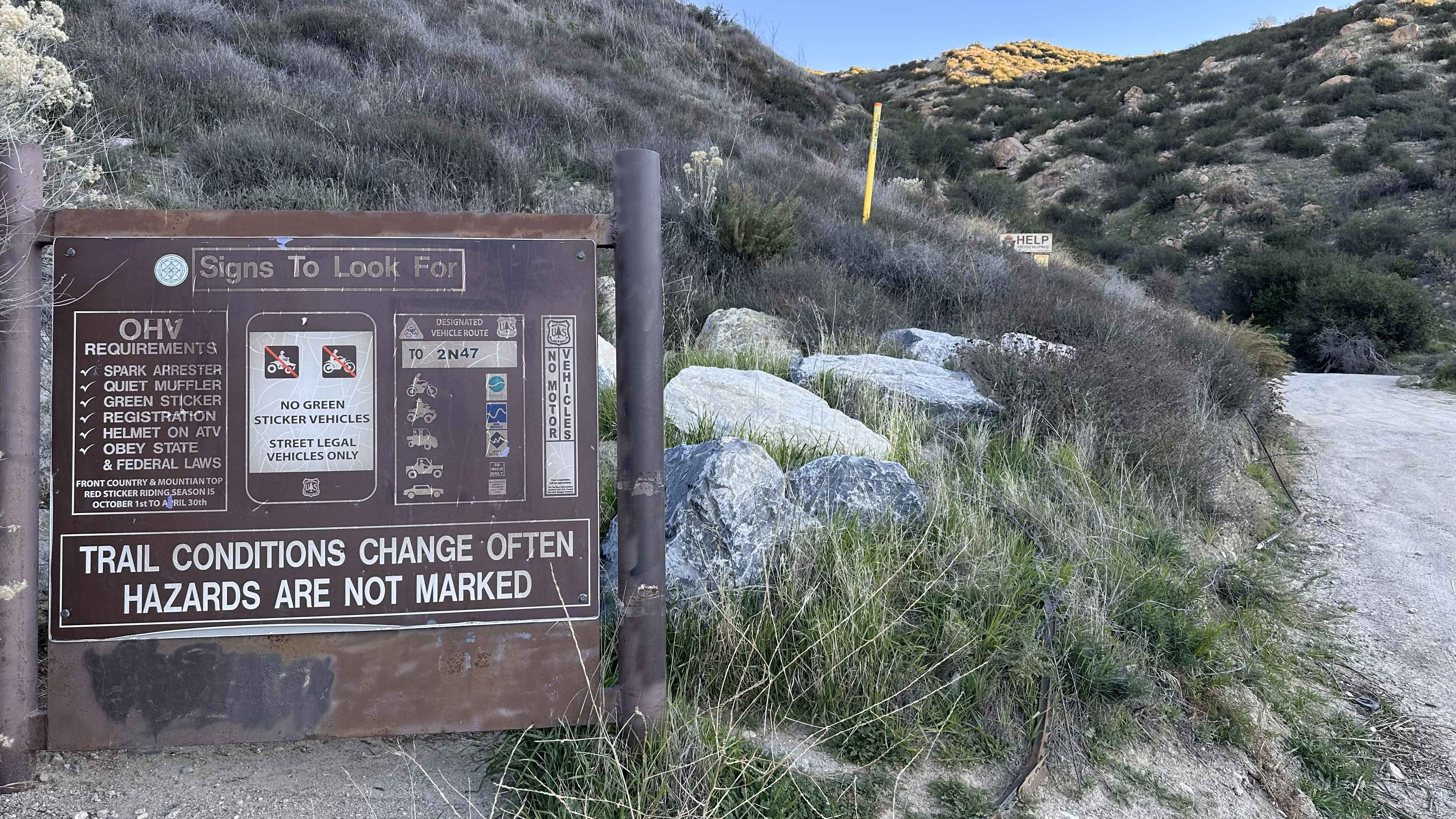
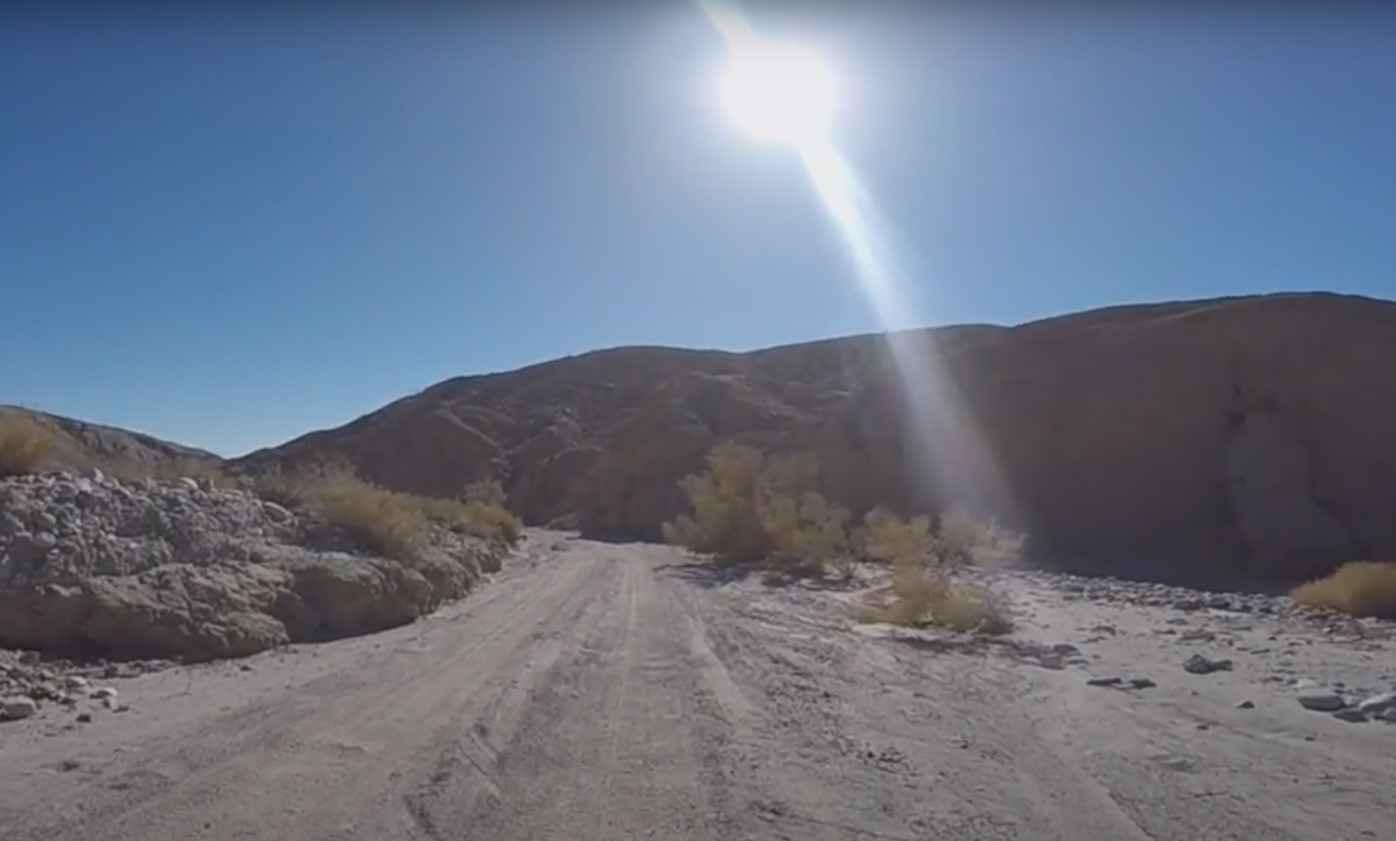
Long Canyon 4WD trail is an excellent moderate trail with multiple types of challenges that terminates at a granite slab area overlooking Bald Mountain and the surrounding gorgeous Sierra Nevada. The trail can be accessed via either Silver Fork Road or Packsaddle Pass. Several connector trails emanate from Long Canyon, some of which can be blocked with deadfall. This area was previously partially burned in the Caldor fire, so carrying a chainsaw is warranted. Over the years, this trail has become more difficult due to washouts, and approximately 1/3 of the way into the trail, there is a very large washout with rollover potential. Care is warranted here, there is an illegal bypass for this section, which is very steep but less intense than the washout. The upper sections of this trail, when approaching Bald Mountain, are narrow with obstacles and are best suited for short wheel-based vehicles. At the top of the Bald Mountain lookout area is a large granite slab with ample remote camping options. This area is also very little utilized, and chances are you will have it to yourself. Wildlife abounds in this area, and the author has seen bears, deer, songbirds, etc. This trail can also be run as an out-and-back, or out to Packsaddle Pass. Strawberry Pass is another excellent 4WD trail that can be accessed from Packsaddle Pass, so an entire day can be spent in this area off-road. Highly recommended!
Photos of Long Canyon

Difficulty
This trail will require moderate ground clearance and at least 33-inch tires. Obstacles consist primarily of washouts, boulders, small streams during runoff, and steep rocky sections.
Status Reports
Long Canyon can be accessed by the following ride types:
- High-Clearance 4x4
- SxS (60")
- ATV (50")
- Dirt Bike
Long Canyon Map
Popular Trails
Gold Mountain - FS 3N69

Hole in the Wall Canyon
Cleghorn Ridge Entry
Arroyo Salado Wash
The onX Offroad Difference
onX Offroad combines trail photos, descriptions, difficulty ratings, width restrictions, seasonality, and more in a user-friendly interface. Available on all devices, with offline access and full compatibility with CarPlay and Android Auto. Discover what you’re missing today!