Trail Overview
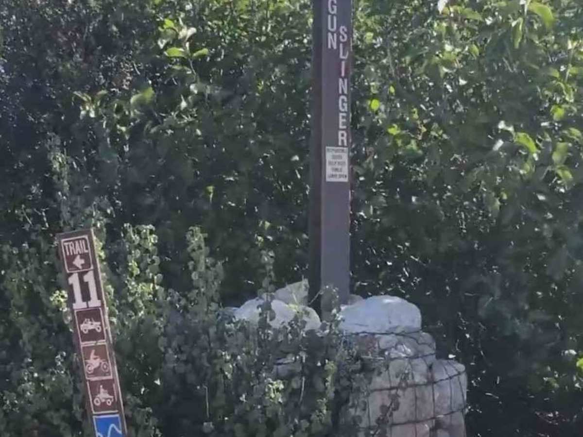
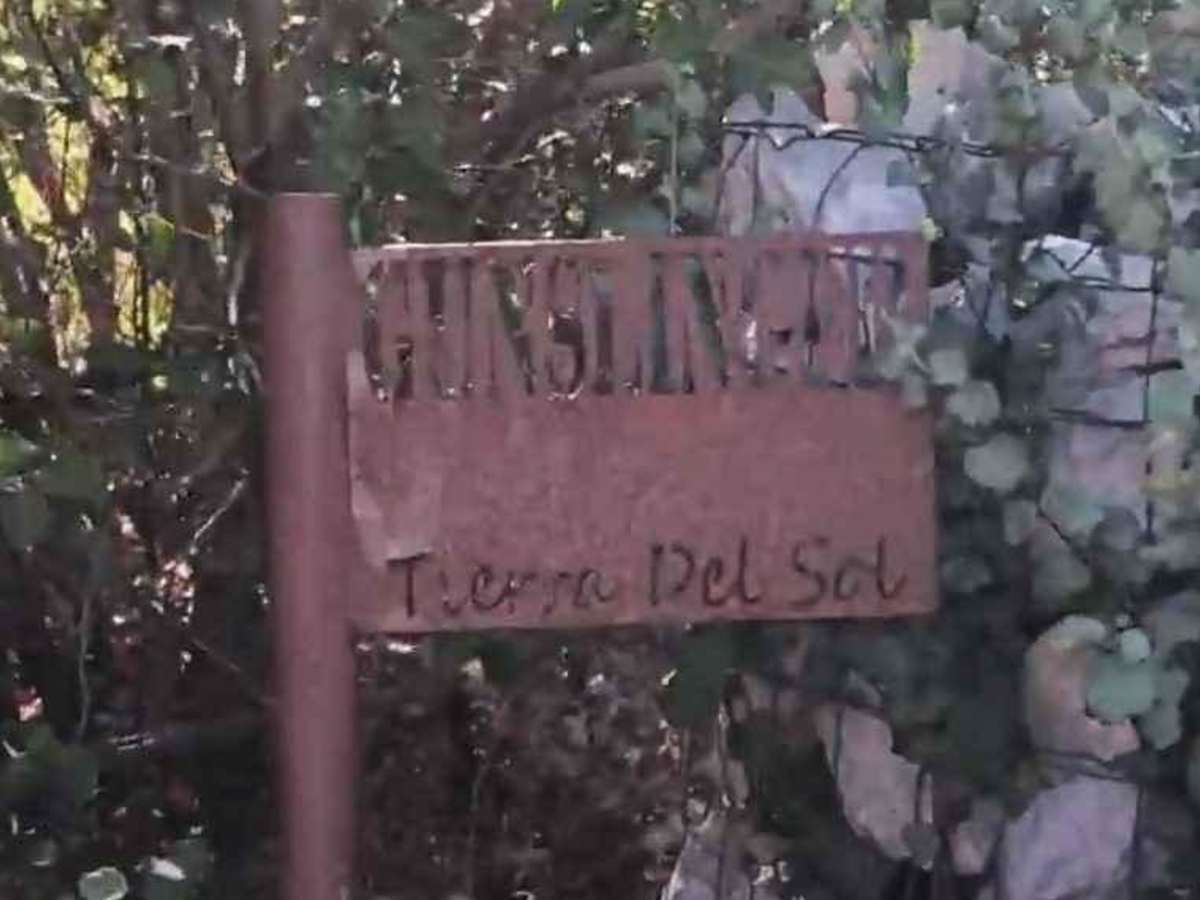
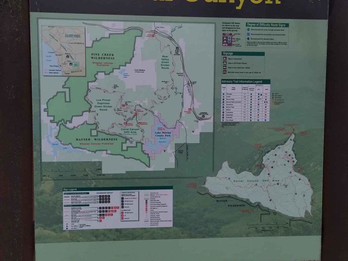
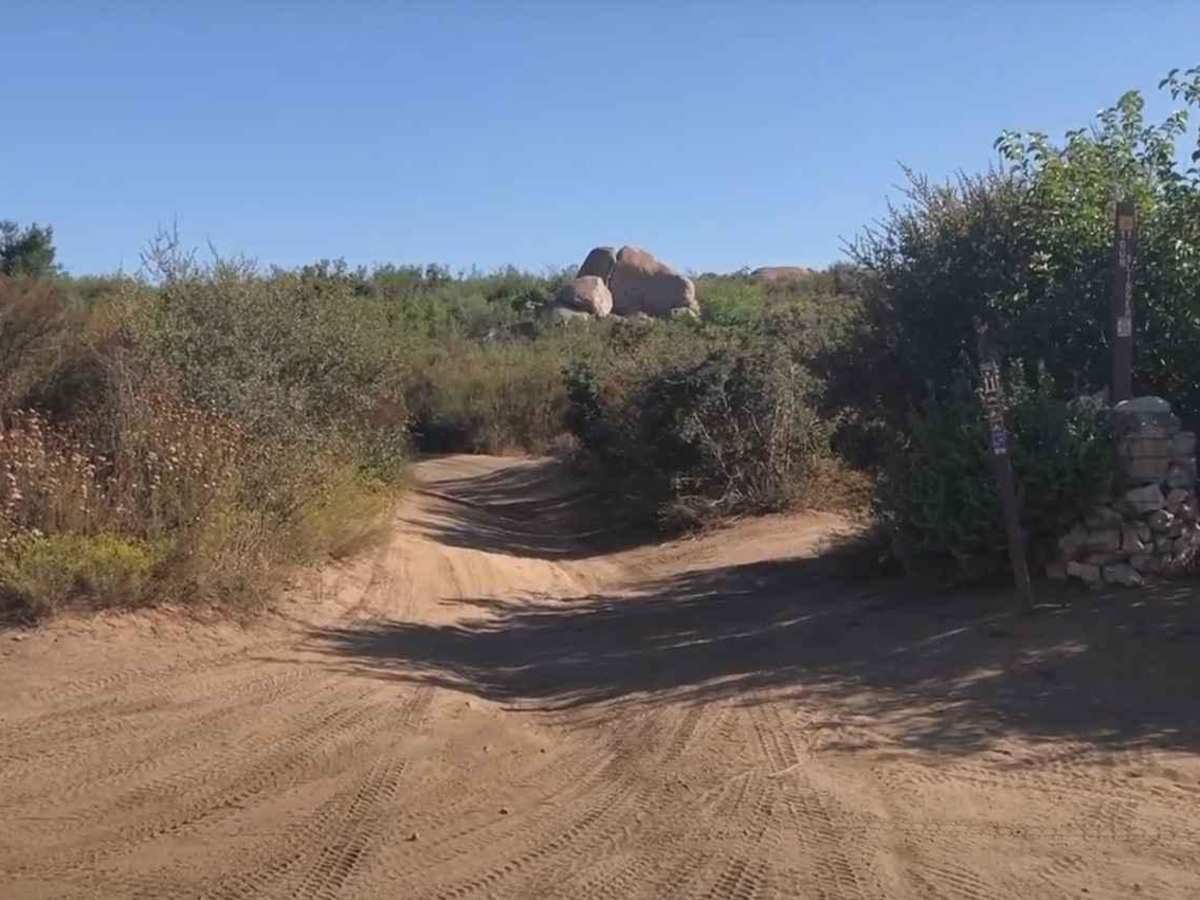
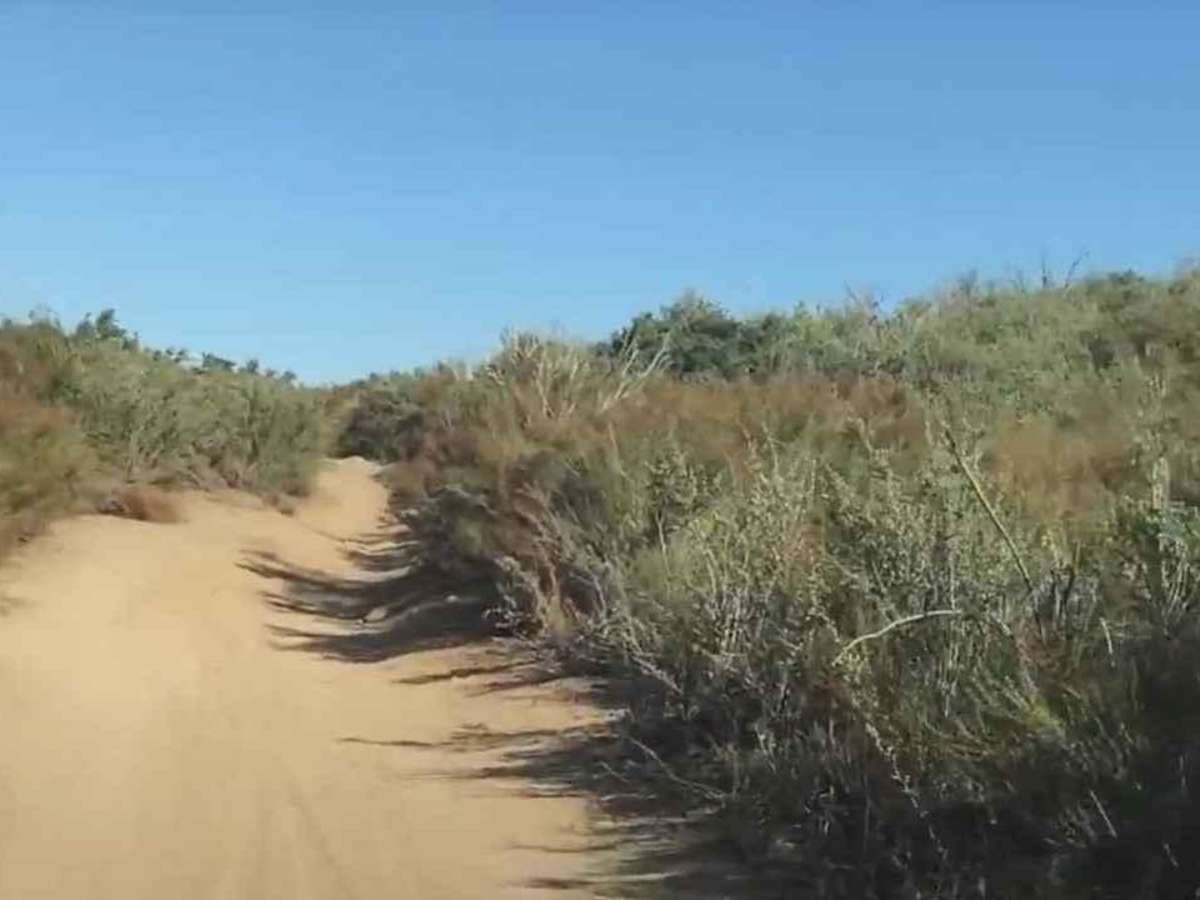
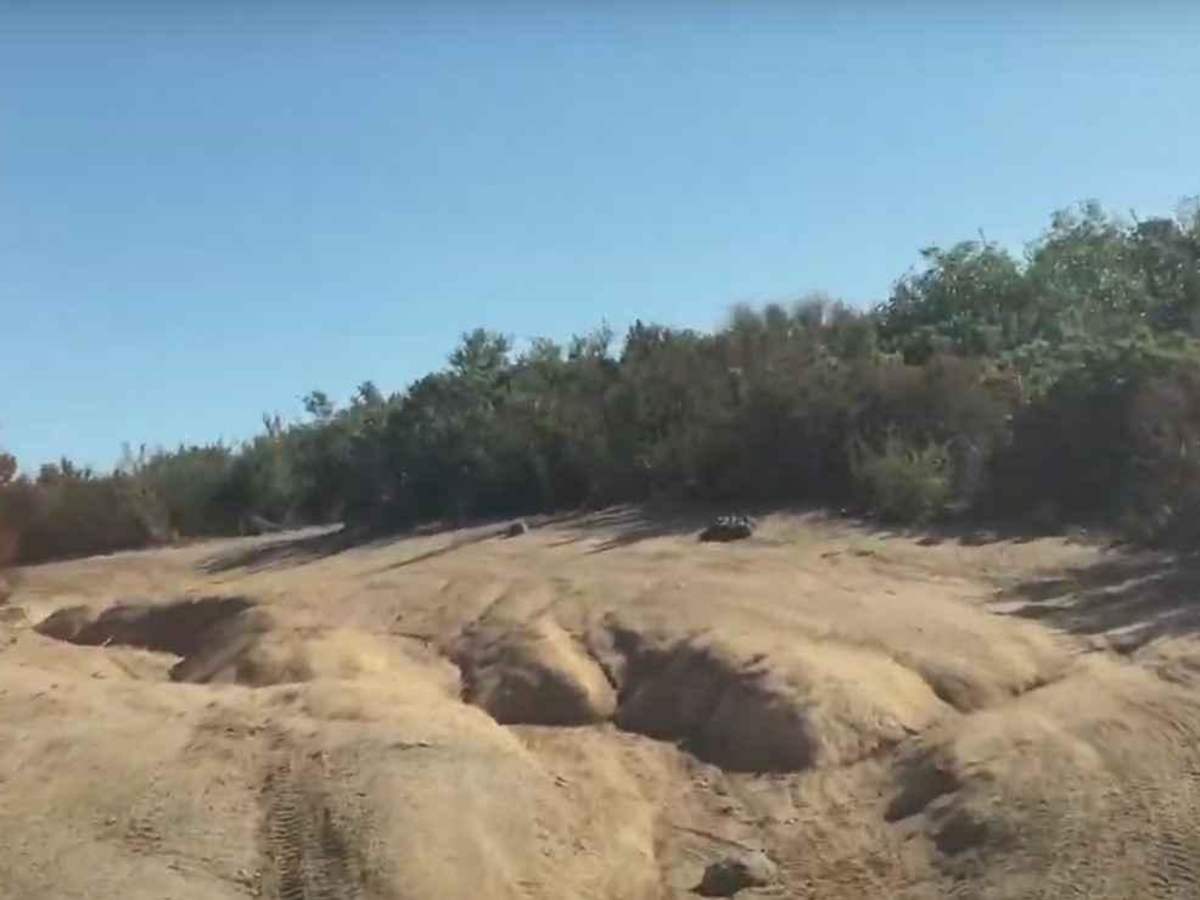
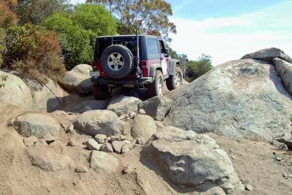
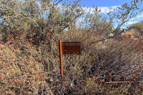
Gunslinger Trail #11 is a 1.8-mile point-to-point trail rated 3 of 10 located in the Corral Canyon OHV recreation area. Corral Canyon OHV is located roughly 30 miles east of San Diego and it offers trails for all types of offroad vehicles, including dirtbike single track, narrow ATV track, and full-size 4x4 width trails. Gunslinger Trail is a moderate trail that runs between Skye Valley Road and Corte Madera Road in the southwestern portion of the Corral Canyon area. The trail consists of mostly hard-pack dirt with some moderate rock slabs. The trail can be run in either direction but typically is run west to east. The trail is open to dirt bikes, Class 1 and below e-bikes, motorbikes, ATVs, UTVs, and OHVs. The trail is well-marked and provides access to several other trails. The first series of washouts occur about 300 feet from the west trailhead and the condition of the trail can vary depending upon the last rainfall and the use of the trail. Cell phone service is intermittent. The nearest services (gas, water, convenience store) are located in Morena Village.
Difficulty
The trail consists of loose rocks, dirt, and sand with some slick rock surfaces. Mud holes are possible, but there are no steps higher than 12 inches. 4WD may be required, and aggressive tires are a plus.
History
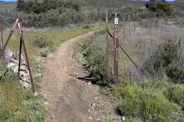
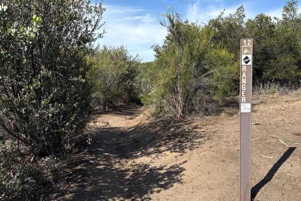
With over 50 miles of trail, the Corral Canyon OHV trails and roads traverse through beautiful scenery and challenging terrain. Trails in this area can vary in elevation and difficulty from 3,400 feet at Corral Canyon Campground to 4,169 feet at Bronco Peak. Off-highway vehicle recreation is just one of the many uses allowed on the National Forest. Off-Highway Vehicle Route Markers are found on designated OHV trails. On these markers, you will find signs and decals designating the type of use recommended, level of difficulty, and system number which corresponds to the map and guide. The OHV guide/map may be obtained at any forest office. Markers with signs or decals with a red slash mean the route is closed to that type of use. The trails have a unique feel to them, with sharp turns, fast brush tunnels, and several sections of solid rock. The rock formations are popular with 4x4 off-road enthusiasts.