5S01 Indian Truck Trail

Total Miles 7
Technical Rating
3 Easy
Best Time Spring, Summer, Fall, Winter
Trail Type Full-Width Road
Accessible By
Open Trail Map

Trail Overview

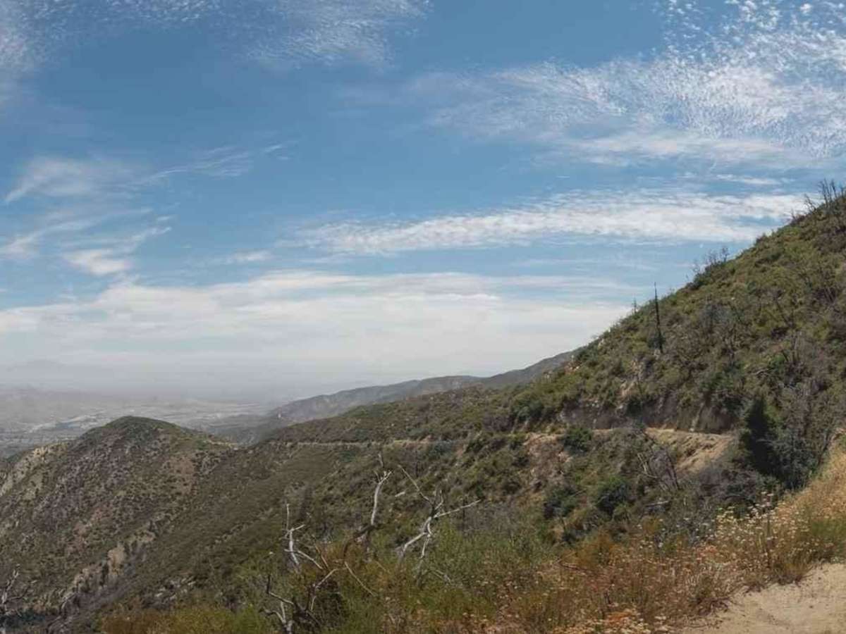
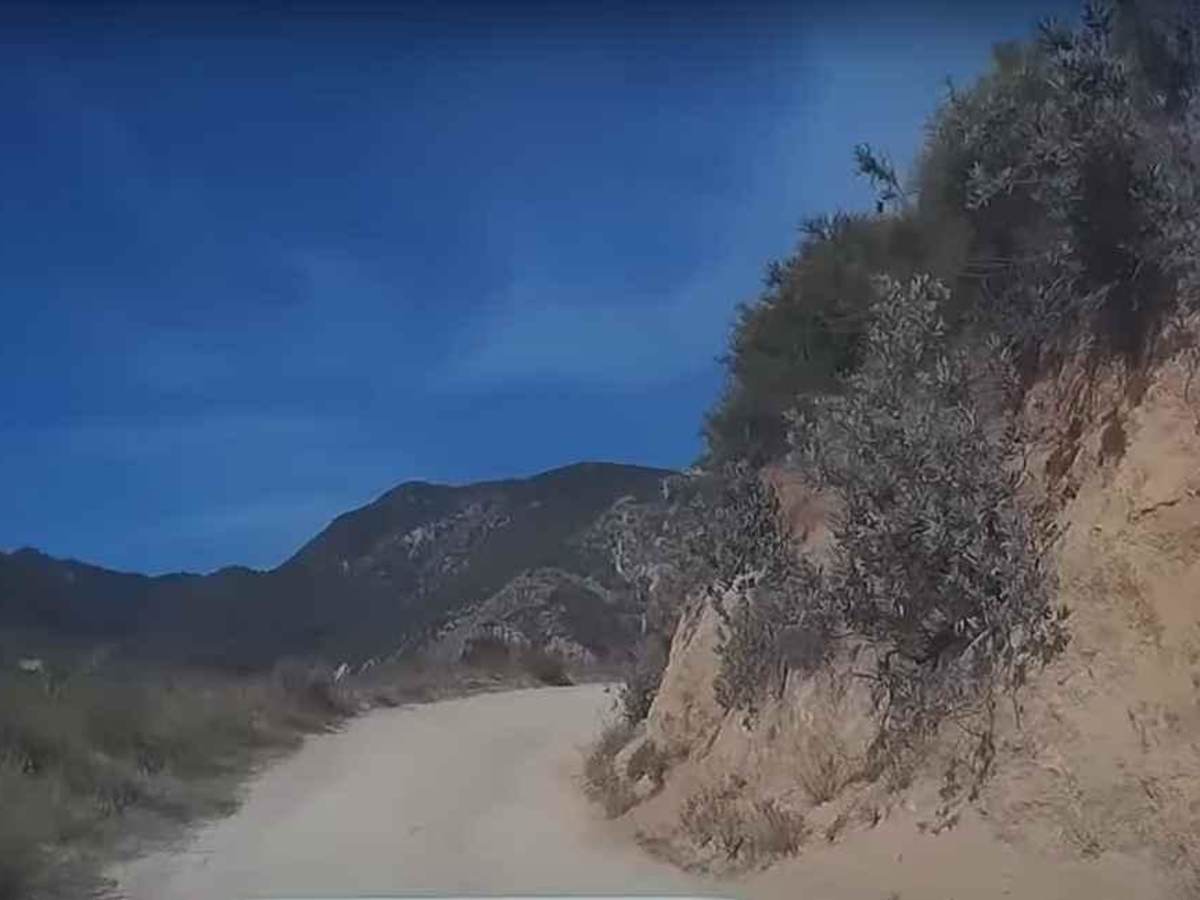
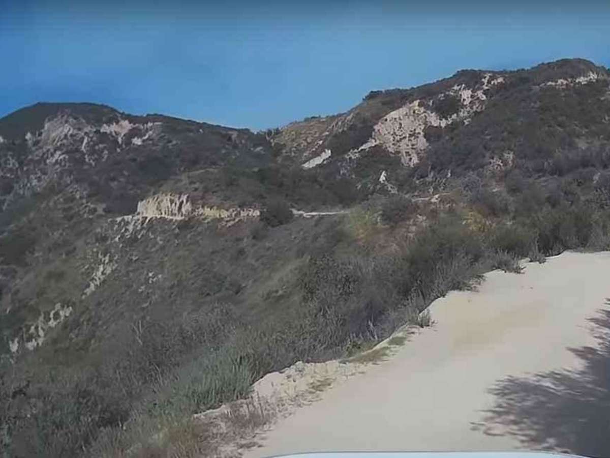
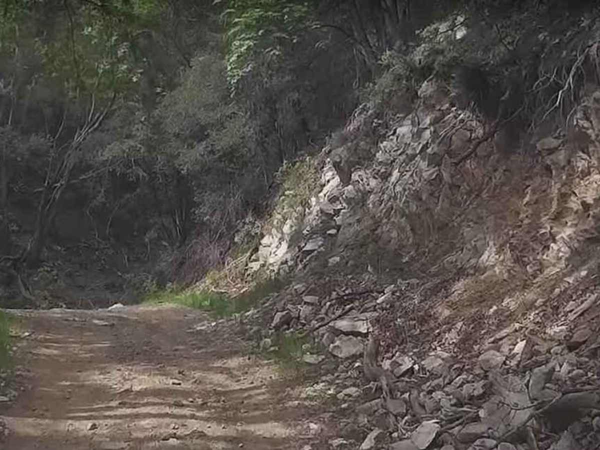
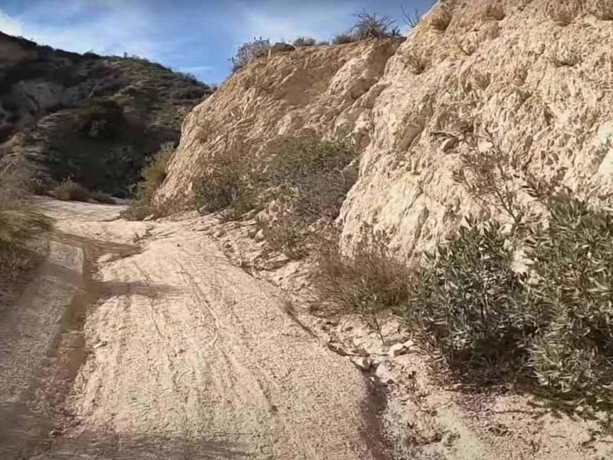
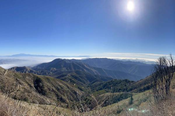
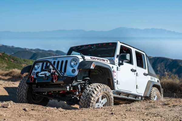
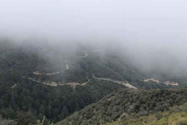
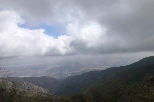
5S01 Indian Truck Trail is a 7-mile point-to-point trail rated 3 of 10 located within the Cleveland National Forest, Trabuco Ranger District. Indian Truck Trail ascends 2,500 feet over the 7-mile drive from the Temescal Canyon to the North Main Divide. This is a limited access trail restricted to street-legal vehicles. It is popular with the 4x4, motorcycle, and mountain bike communities. The steep winding climb offers vista views of the Temescal Valley below. Upon reaching the North Main Divide, the options are to turn north to Santiago Peak Lookout or south to Trabuco Peak, both of which offer fantastic sunset views. The trail consists of packed dirt and is subject to closure based on wet weather or fire danger. The winding trail is narrow at times with many blind curves. Traffic runs in both directions, so care should be taken on any blind curve. Cell phone service is intermittent. The nearest services are located north or south along Interstate 15.

Photos of 5S01 Indian Truck Trail

Difficulty

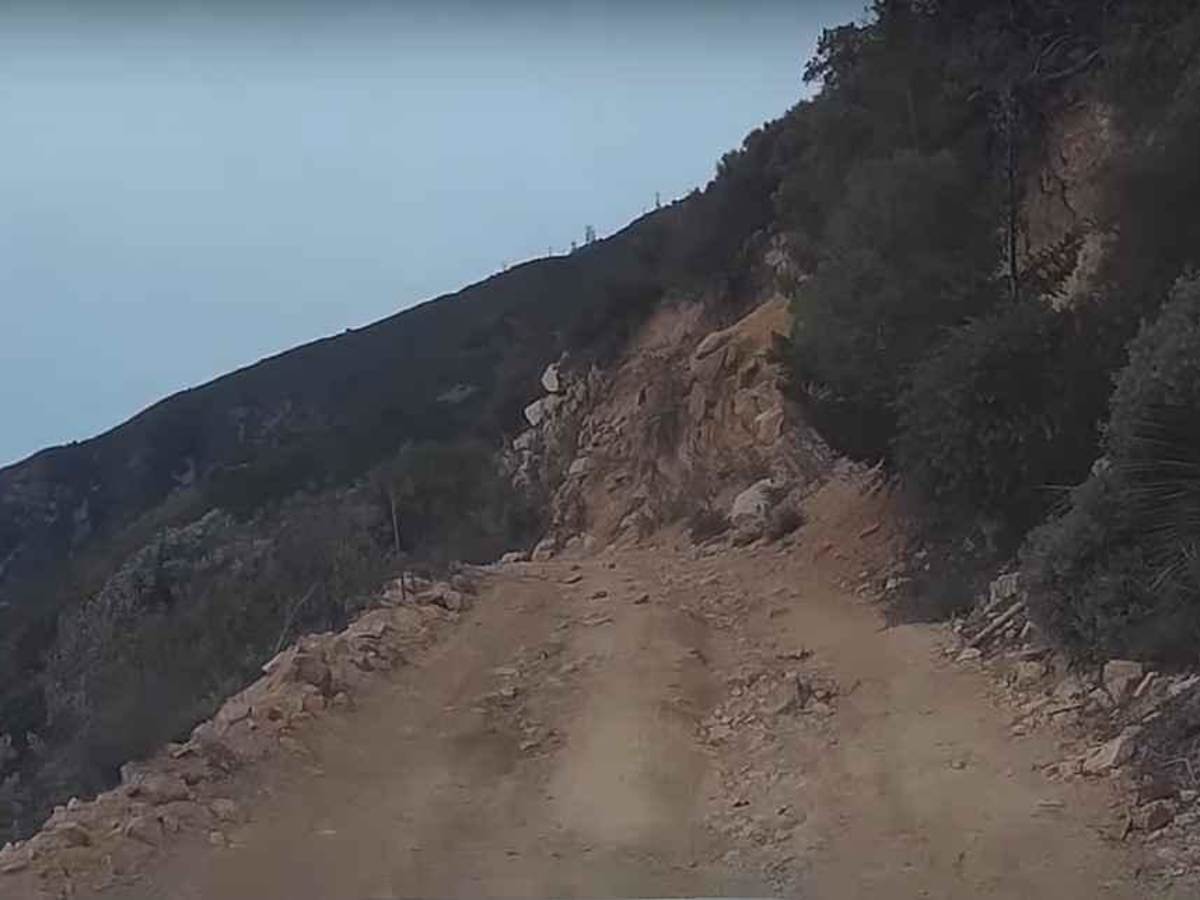
The trail consists of loose rocks, dirt, and sand with some slick rock surfaces. Mud holes are possible, but there are no steps higher than 12 inches. 4WD may be required, and aggressive tires are a plus.

History

The trail was closed for several years after the 2018 Holy Fire and was reopened, only to be closed again in early 2022 due to a landslide. The trail is currently open. Cleveland National Forest truck trail and road closures are found here: https://www.fs.usda.gov/detailfull/cleveland/alerts-notices/?cid=stelprdb5340229

Technical Rating

3

Status Reports

Add Status Report
Aidan L
Dec 26, 2025
Open
Closed stated on USFS due to weather.
Joseph Ramirez
Nov 28, 2025
Open
Very easy conditions. Trail is dry. Varies from son brief stretches of sand, some small rocky areas and hard pack. A couple of ruts from rain but easy to avoid. We saw 5 other vehicles (jeeps etc), one Enduro, a few hikers and 2 mountain bikes. Sunny and clear. Great views. We stopped at the fork, it was closed to the left.
Michelle
Nov 28, 2025
Open
Parker Schless
Nov 16, 2025
Open
Hamz H
Nov 11, 2025
Open
Two Jeeps coming up the trail as we where at the intersection with S304 otherwise no other vehicles on our way down. 3S04 East/ towards Ortega was closed. Three bikers on the lower portion, few turnouts throughout so keep track of where they are and keep looking for other vehicles. Several spots of soft sand and silt but no real concern.
Audrey Newsum
Nov 09, 2025
Open
20-30 other SUVs, trucks and a couple of dirt bikes and quads. A majority of the e vehicles we saw were parked and owners were wearing camouflage
Michael Brown
Nov 09, 2025
Open
Carlos Rodarte
Nov 02, 2025
Open
Eric Leclercq
Oct 27, 2025
Open
Nice easy day on the trail with the new Jeep. Didn’t come across anyone else until I transitioned to the other trail (North Main Divide).
Greg Wilkinson
Oct 22, 2025
Open
Kenny Leeds
Oct 18, 2025
Open
Great sunny day. No other vehicles the entire run. Trail pretty easy
Jason Smith
Oct 16, 2025
Open
Mark Stafford
Oct 16, 2025
Open
NAS-T 1
Sep 05, 2025
Open
Alec Trueblood
Aug 17, 2025
Open
This was a very fun and scenic trail. 4WD low gear will be necessary. Mostly soft dirt as the trail climbs from Temescal Valley, and did not air down. Views to Lake Matthews to the East. Some narrow stretches but pullouts can be found if you encounter opposing traffic. At Main Divide Road, the gate to the East is closed, so you have to go West towards Santiago Peak, or go back the way you came.

5S01 Indian Truck Trail Trail can be accessed by the following ride types:

  • Single Track
  • High Clearance
  • Full Width

5S01 Indian Truck Trail Map

The onX Offroad Difference

onX Offroad combines trail photos, descriptions, difficulty ratings, width restrictions, seasonality, and more in a user-friendly interface. Available on all devices, with offline access and full compatibility with CarPlay and Android Auto. Discover what you're missing today!

Open Trail Map