3S04 Main Divide to Santiago Peak

Total Miles4.8
Technical Rating
2Easy
Best TimeSpring, Summer, Fall
Trail TypeFull-Width Road
Accessible By

Open Trail Map

Trail Overview

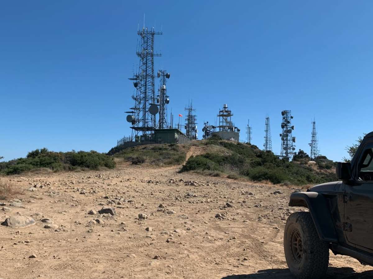
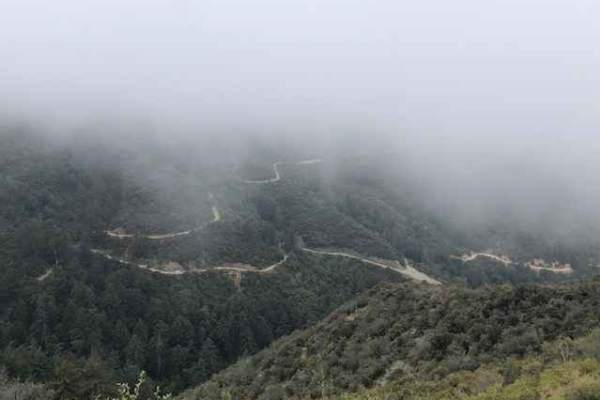
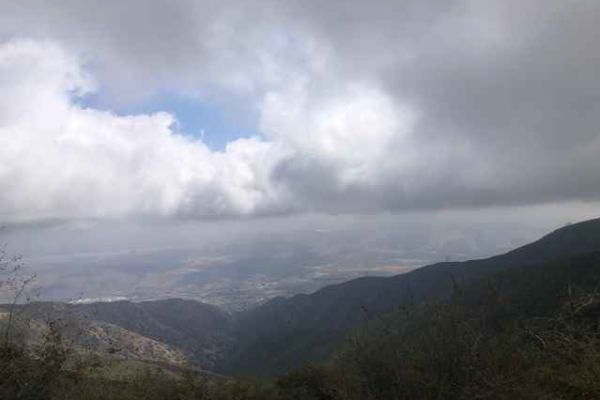
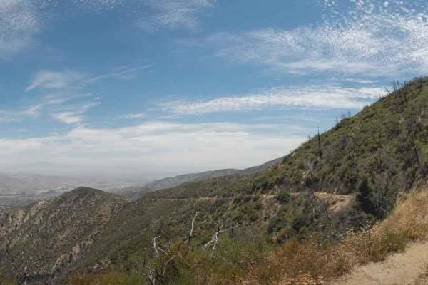
The 3S04 Main Divide to Santiago Peak trail is a 4.8-mile route through the Cleveland National Forest, following the ridgeline of the Santa Ana Mountains. It rises from 4,534 feet to 5,681 feet, offering expansive views of the Temescal Valley, the Los Angeles Basin, and Catalina Island. Most of the trail consists of dirt and loose rock, accessible to high-clearance four-wheel-drive vehicles. The final spur to Santiago Peak near the radio towers increases in difficulty, requiring a high-clearance 4x4 to navigate deep ruts and large rocks. The route is subject to seasonal closures during and after heavy rain to prevent trail damage.

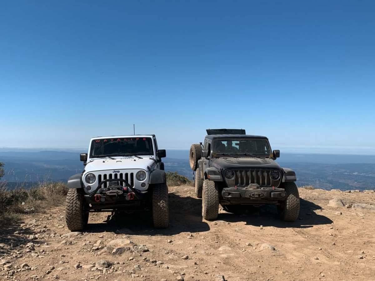
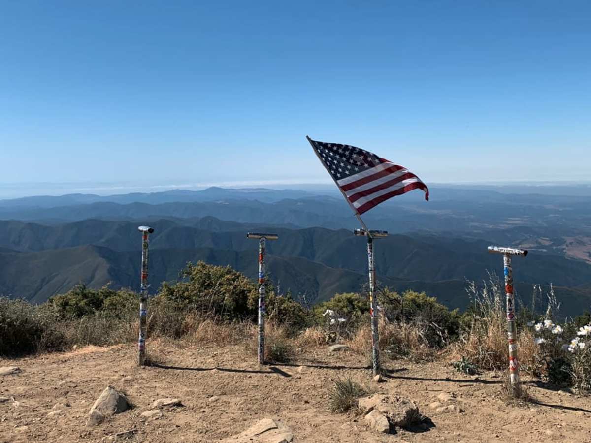
Photos of 3S04 Main Divide to Santiago Peak

Difficulty

95% of the trail is on dirt with some loose rock. 5% of the trail, within the radio tower, has larger rocks and deeper ruts that should only be attempted with a high clearance 4x4.

Technical Rating

2

3S04 Main Divide to Santiago Peak Trail can be accessed by the following ride types:

  • Single Track
  • High Clearance
  • Full Width

Access Description

Access to this trail in the Cleveland National Forest is managed by the United States Forest Service (Trabuco Ranger District). Gates along the Main Divide Road may be closed seasonally or during and after rain events to prevent trail damage. An Adventure Pass or America the Beautiful interagency pass may be required for parking or recreating within designated areas of the national forest.

3S04 Main Divide to Santiago Peak Map

The onX Offroad Difference

onX Offroad combines trail photos, descriptions, difficulty ratings, width restrictions, seasonality, and more in a user-friendly interface. Available on all devices, with offline access and full compatibility with CarPlay and Android Auto. Discover what you're missing today!

Open Trail Map