Lower Kessler Peak Trail
Total Miles
4.0
Technical Rating
Best Time
Winter, Fall, Spring
Trail Type
Full-Width Road
Accessible By
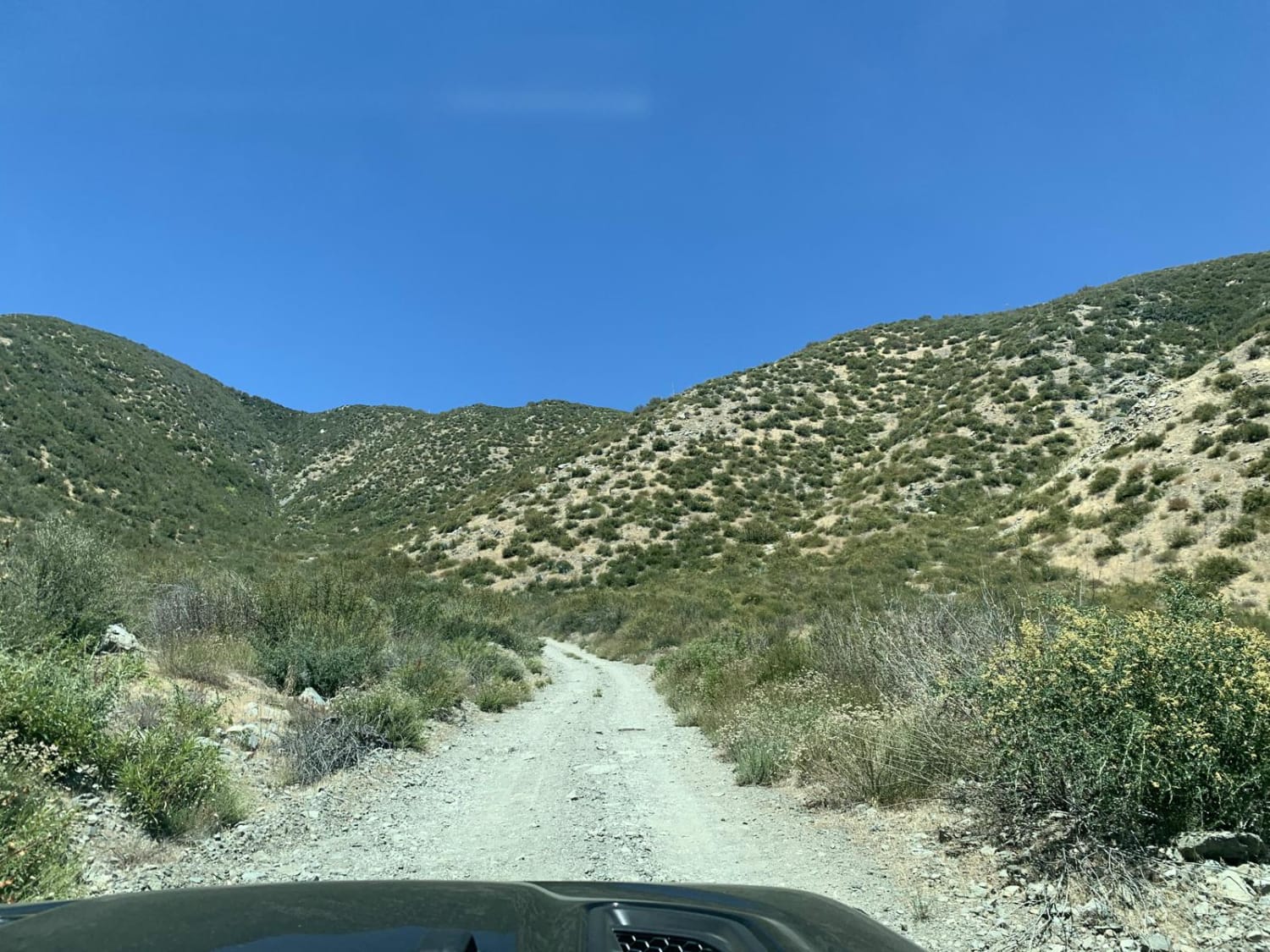
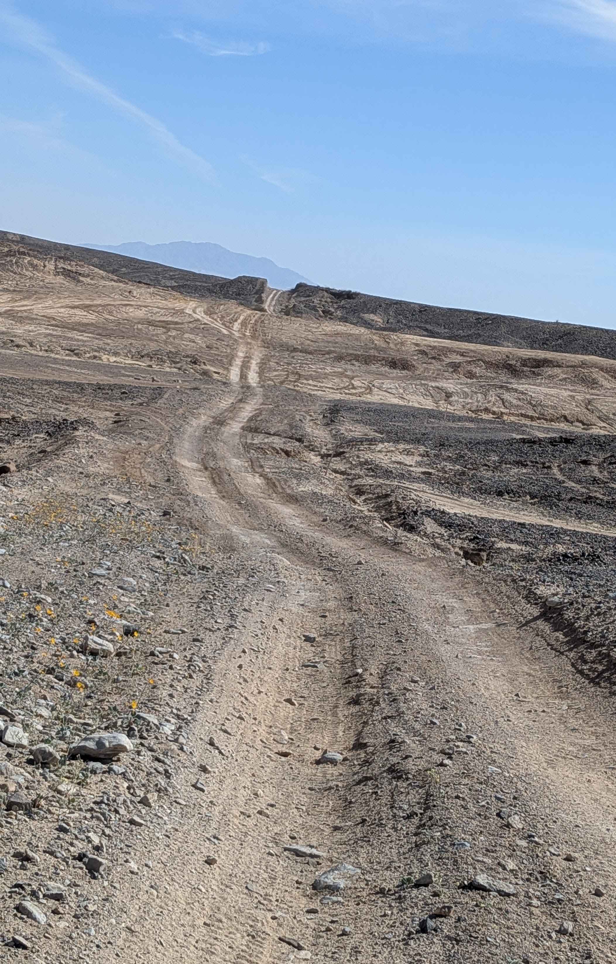
Trail Overview
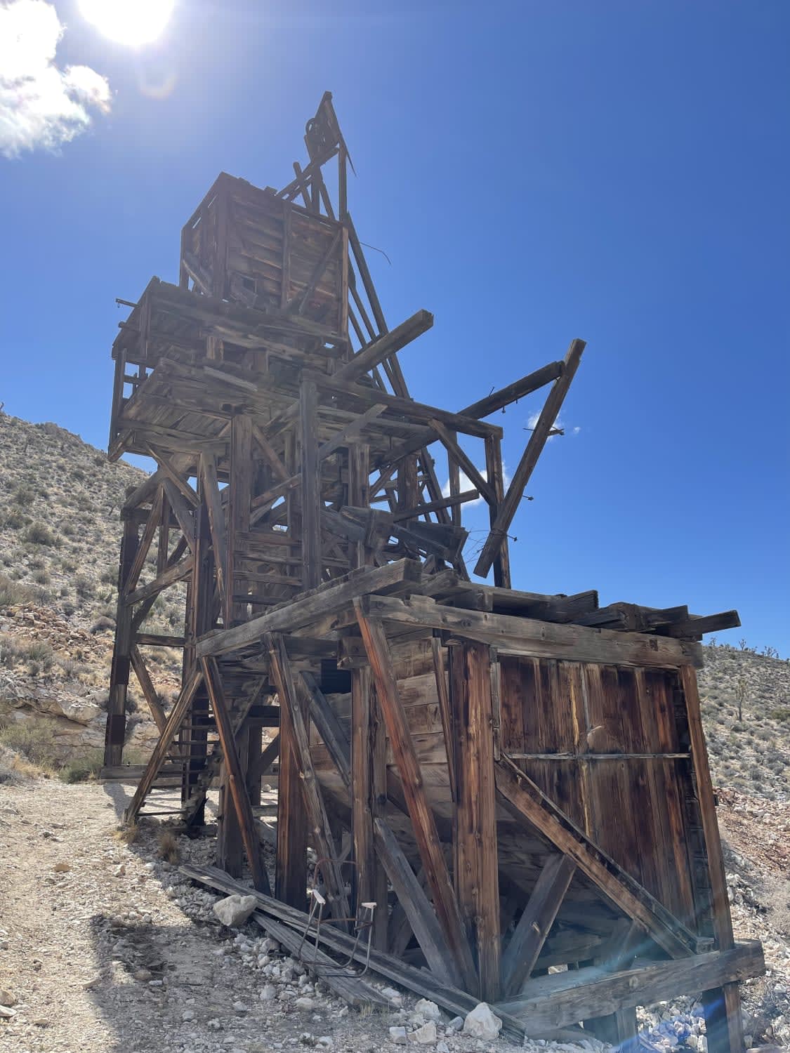
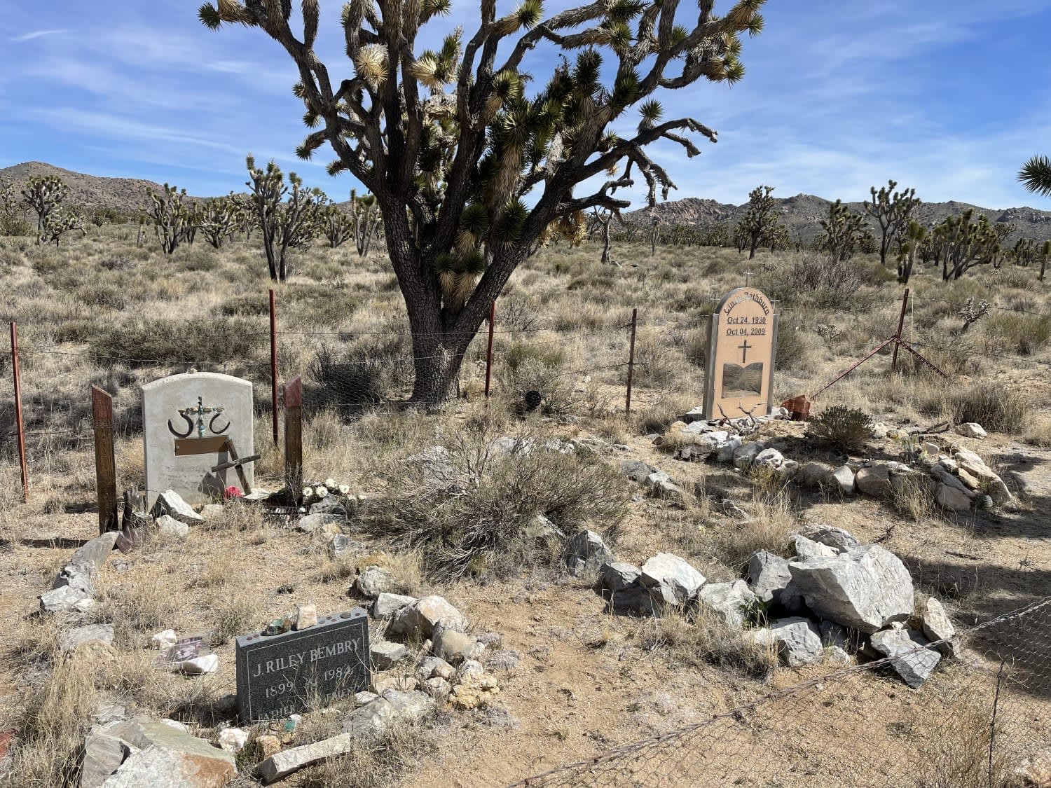
This easier southern section of the trail has a few interesting sights to see along the way. Near the northern section, there's a small pull-off featuring a small graveyard. More research is needed, but I believe they are from some of the folks who lived out here in the early to mid-1930s. As the trail continues south, it passes by a large older mining complex with a large tower still standing and a few deep mine shafts covered with steel to peer into and imagine these extreme working conditions not that long ago. There's also a smaller stone structure about half standing as well. As the trail continues south to connect up with Cima Road, one will notice a few dispersed camping spots and get a front-row view of the devastating 2020 fire that ravaged a large section of the park, charred so many Joshua Trees (an estimated 1.3 million of them) and left no ground brush in its wake. The trail is generally easy. Some shorter soft sandy sections, a few off-camber sections. Some sharp rock sections and a few deeper washouts. Some LTE service near the north end of the trail fades to none at the southern end. Keep in mind that this is the Mojave Preserve, and all vehicles must be licensed and street legal.
Photos of Lower Kessler Peak Trail
Difficulty
Some shorter soft sandy sections, a few off-camber sections. Some sharp rock sections and a few deeper washouts
Status Reports
Lower Kessler Peak Trail can be accessed by the following ride types:
- High-Clearance 4x4
- SUV
- Dirt Bike
Lower Kessler Peak Trail Map
Popular Trails
Giant Hyssop - FS 6S026X
Old State of Mind
Sharpless Ranch
The onX Offroad Difference
onX Offroad combines trail photos, descriptions, difficulty ratings, width restrictions, seasonality, and more in a user-friendly interface. Available on all devices, with offline access and full compatibility with CarPlay and Android Auto. Discover what you’re missing today!