Lower Speckerman Fire - FS 5S017
Total Miles
4.0
Technical Rating
Best Time
Spring, Summer, Fall
Trail Type
Full-Width Road
Accessible By
Trail Overview
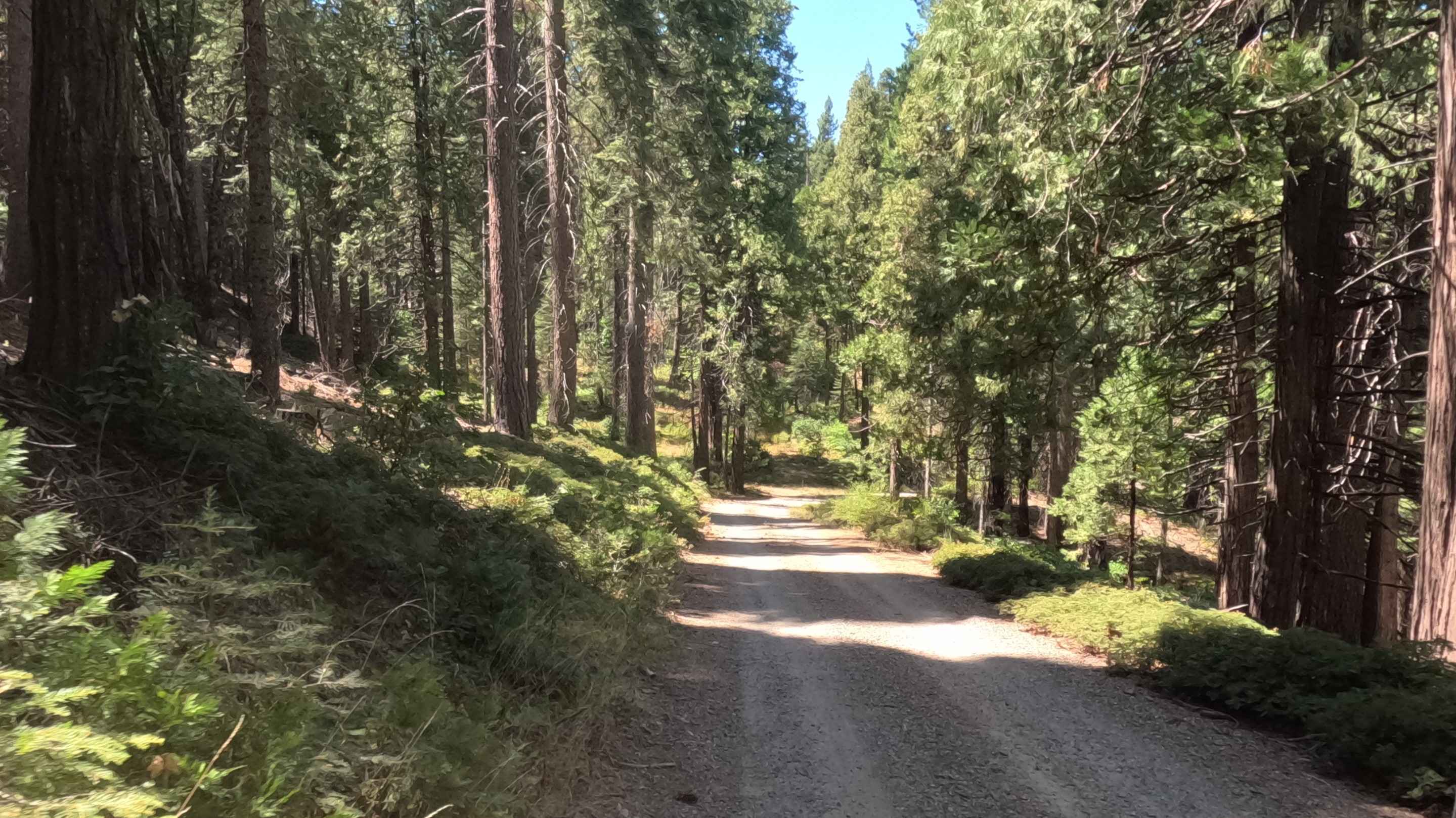
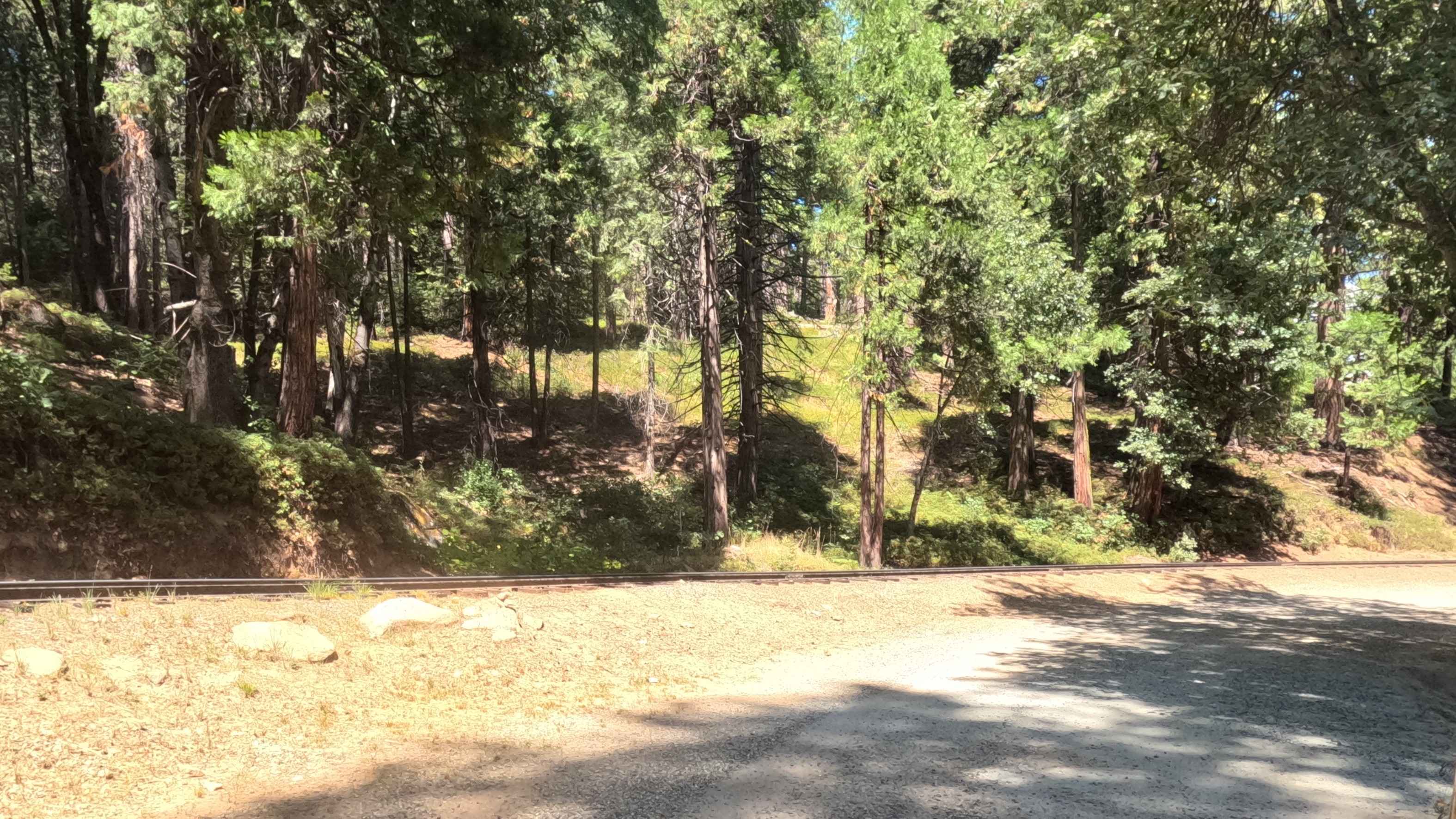
This is an easy, scenic, and well-maintained dirt/gravel road that serves as a secondary access point from Highway 41 into the historic area of Sugar Pine. The route runs through a beautiful mid-elevation forest, parallels and crosses the tracks of the Yosemite Mountain Sugar Pine Railroad (visible in photos), and passes through the Sugar Pine Christian camp before reaching the private residences of the community of Sugar Pine.
Photos of Lower Speckerman Fire - FS 5S017
Difficulty
This road is highly accessible to all passenger vehicles in dry conditions. The primary caution is for the active tourist railroad crossing.
Status Reports
Lower Speckerman Fire - FS 5S017 can be accessed by the following ride types:
- High-Clearance 4x4
- SUV
Lower Speckerman Fire - FS 5S017 Map
Popular Trails

Lower Speckerman Fire - FS 5S017
The onX Offroad Difference
onX Offroad combines trail photos, descriptions, difficulty ratings, width restrictions, seasonality, and more in a user-friendly interface. Available on all devices, with offline access and full compatibility with CarPlay and Android Auto. Discover what you’re missing today!