Lower Tamarack - FS 9S014
Total Miles
1.9
Technical Rating
Best Time
Summer, Fall
Trail Type
Full-Width Road
Accessible By
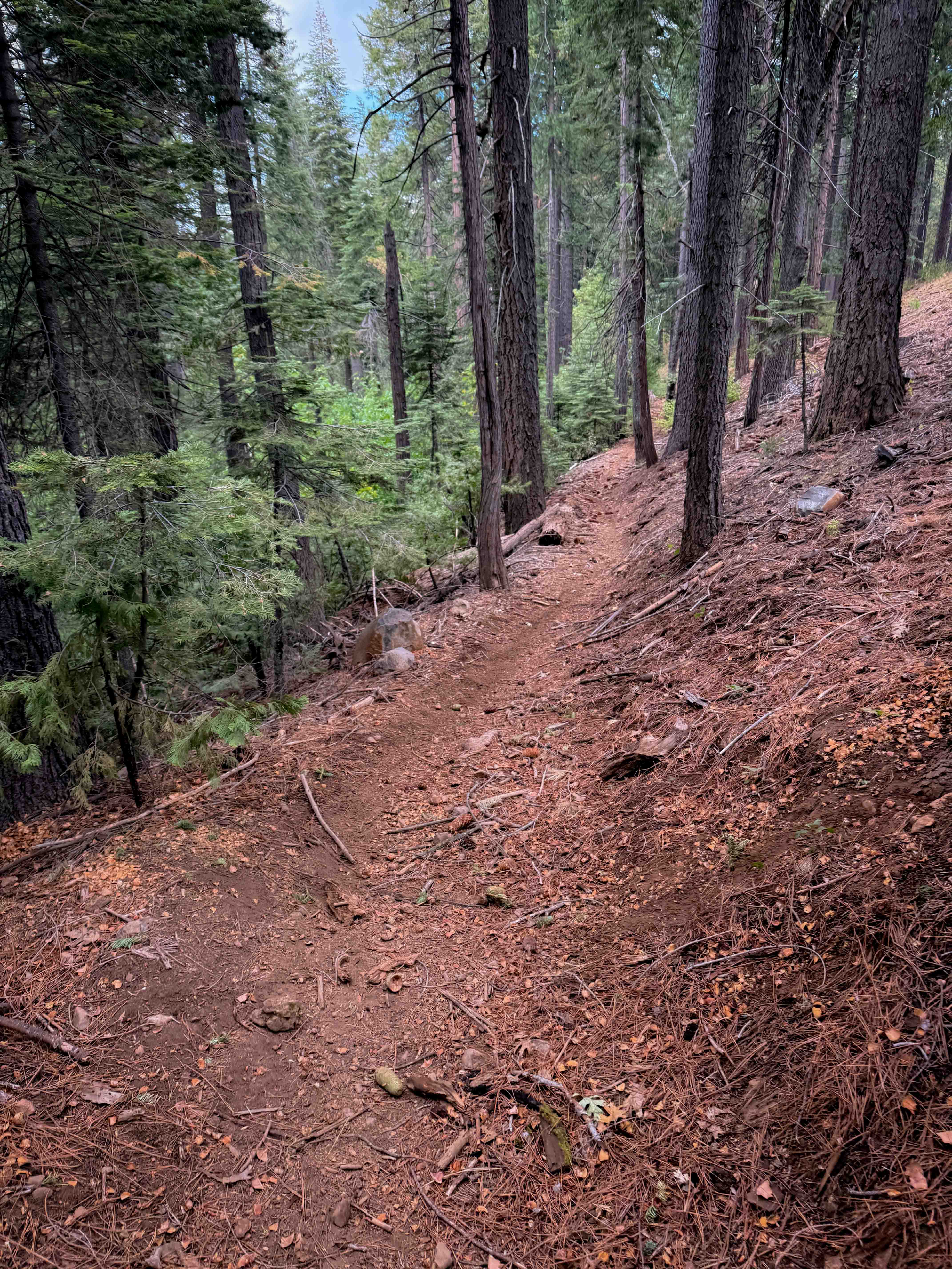
Trail Overview
This is an easy, short 2.6-mile spur that leads to a scenic access at a spectacular campsite at a rock grouping above Azeala Creek with regional views out over Shaver Lake. The trail is a loose two-track running through the highly exposed 2020 Creek Wildfire burn scar. The surface is loose dirt with scattered rock, requiring attention despite its low difficulty rating.
Photos of Lower Tamarack - FS 9S014


Difficulty
This trail remains firmly accessible to all passenger vehicles when dry, requiring no technical 4WD skill. The 30-minute travel time over 2.6 miles indicates a considered, controlled pace, which is necessary due to the exposed, high-altitude setting and the need to scan for deadfall. High clearance is recommended for comfort and to navigate the scattered rock and loose dirt.
Status Reports
Lower Tamarack - FS 9S014 can be accessed by the following ride types:
- High-Clearance 4x4
- SUV
Lower Tamarack - FS 9S014 Map
Popular Trails
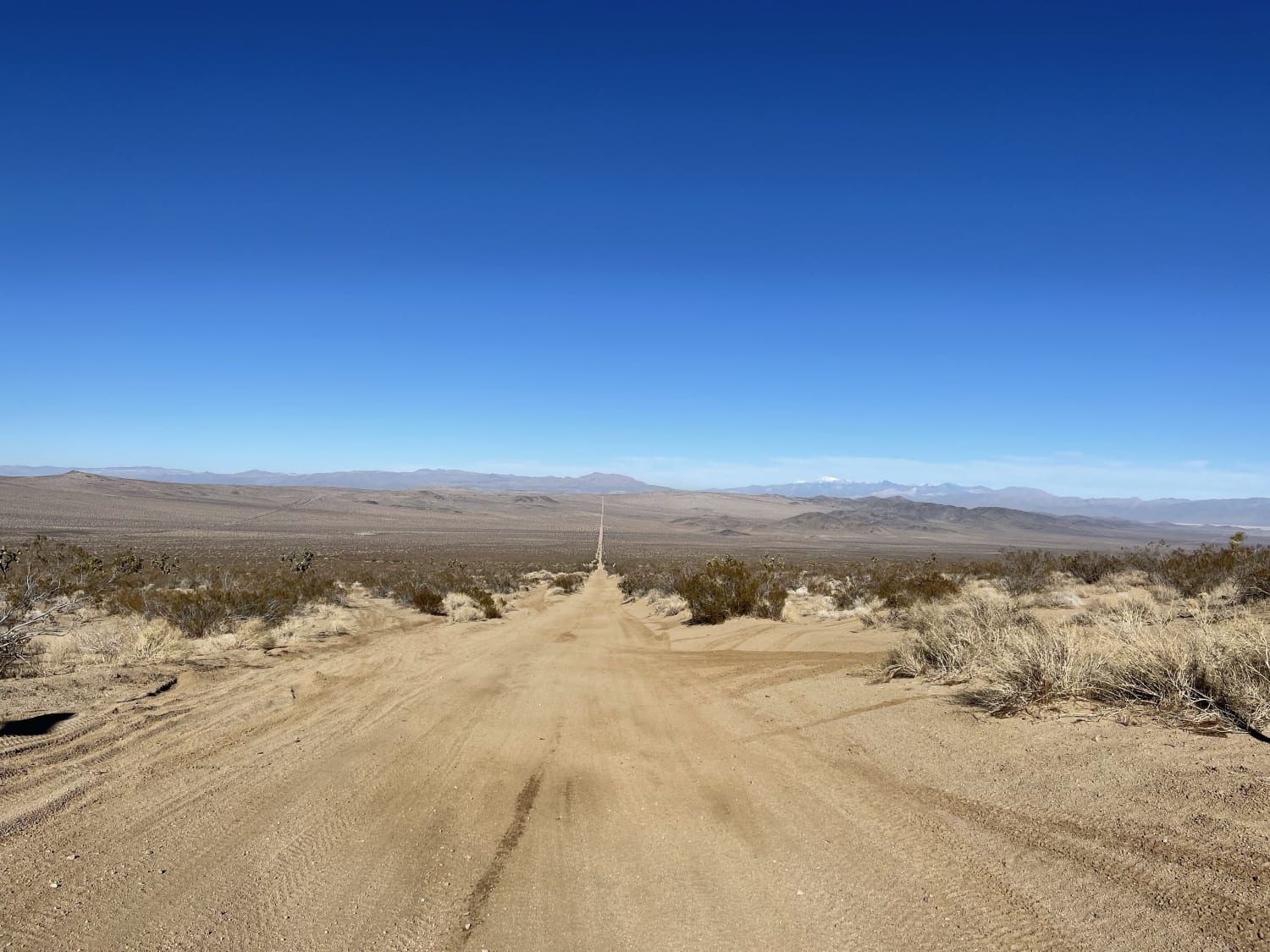
South Section of the Sand Superhighway
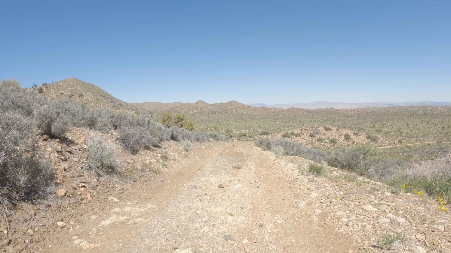
Spur - BLM C2317
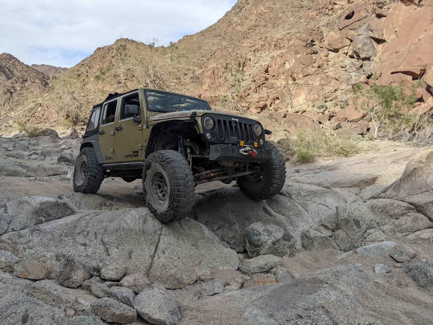
Araz Wash South
The onX Offroad Difference
onX Offroad combines trail photos, descriptions, difficulty ratings, width restrictions, seasonality, and more in a user-friendly interface. Available on all devices, with offline access and full compatibility with CarPlay and Android Auto. Discover what you’re missing today!