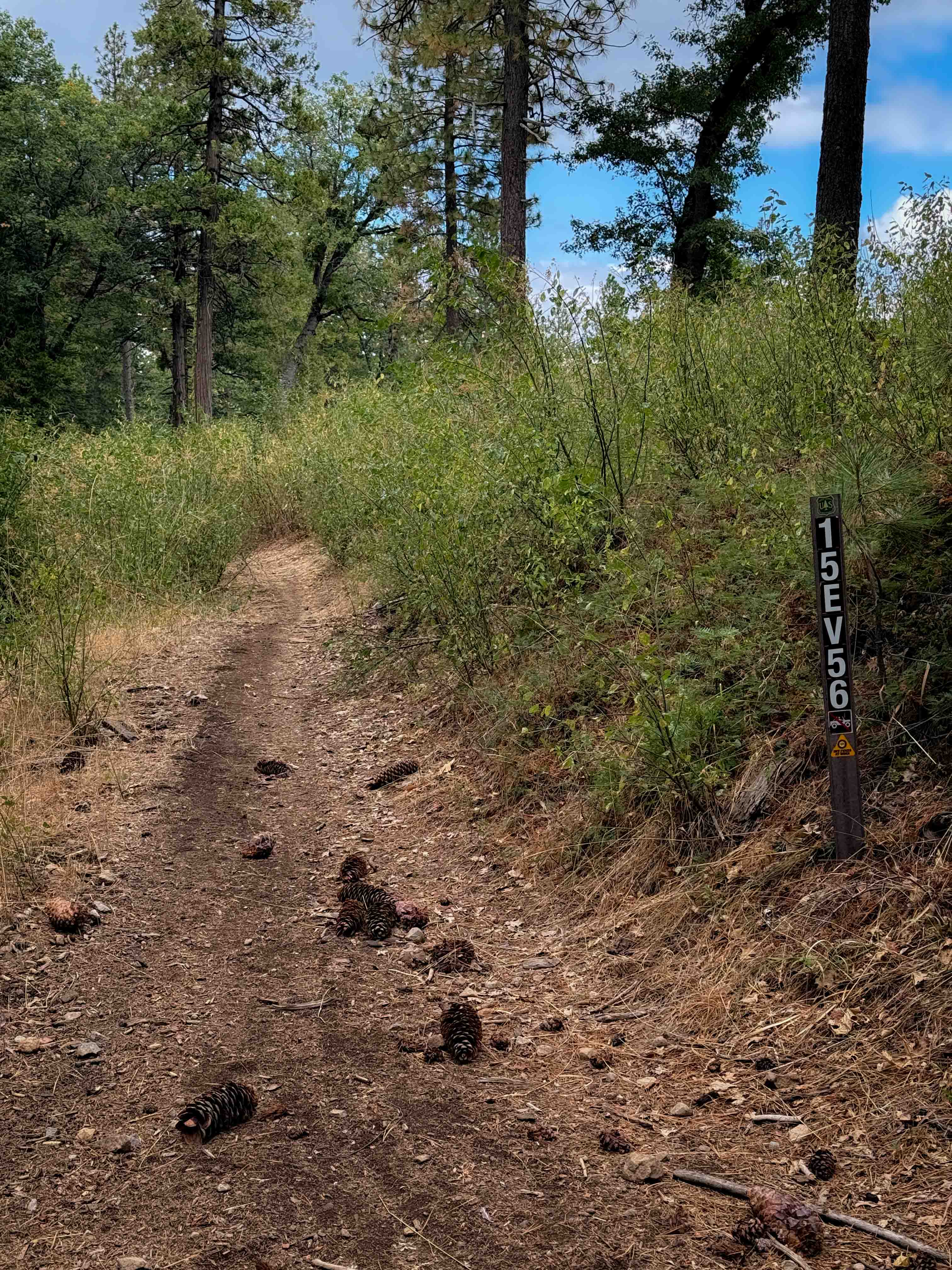
15EV56
Total Miles
0.5
Technical Rating
Best Time
Spring, Fall
Trail Type
50" Trail
Accessible By
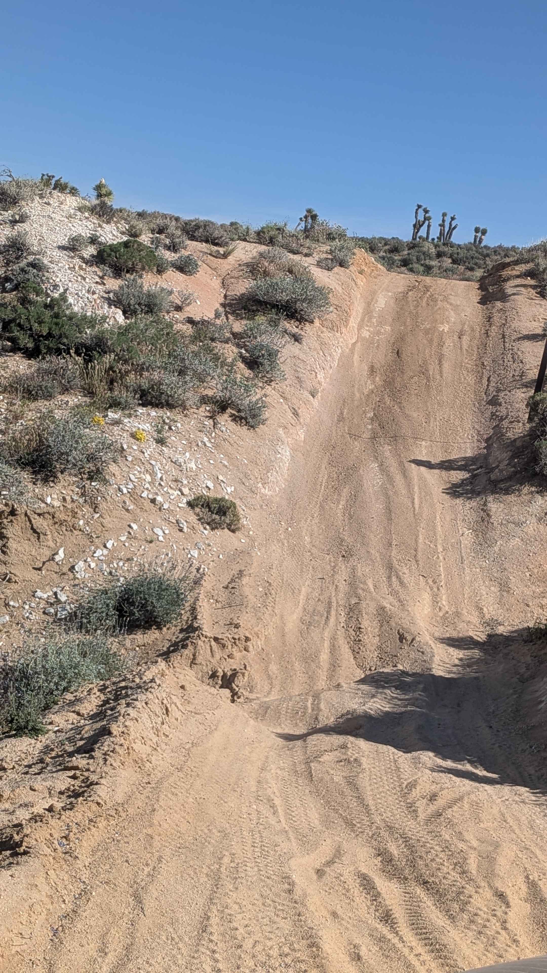
Trail Overview
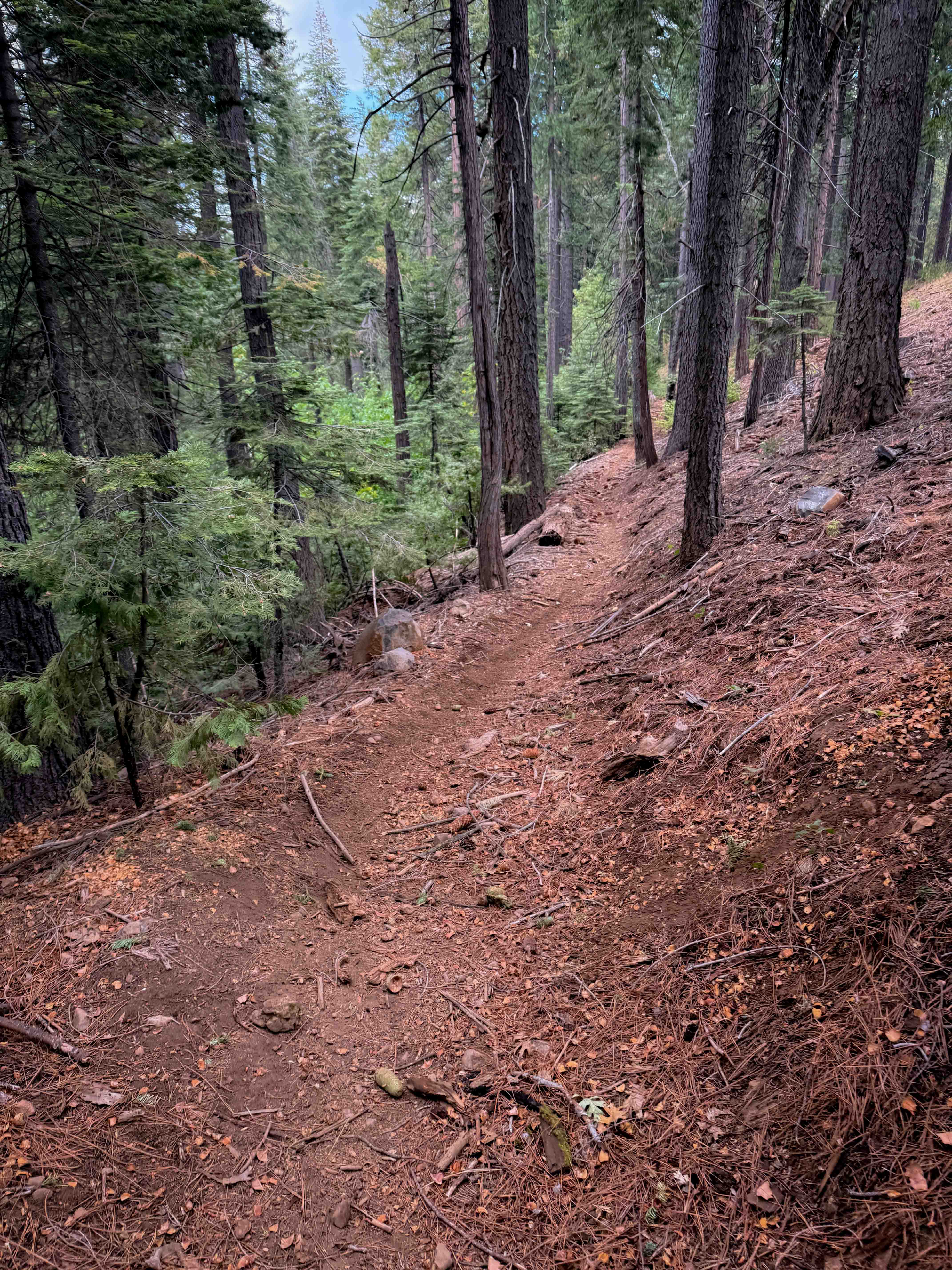
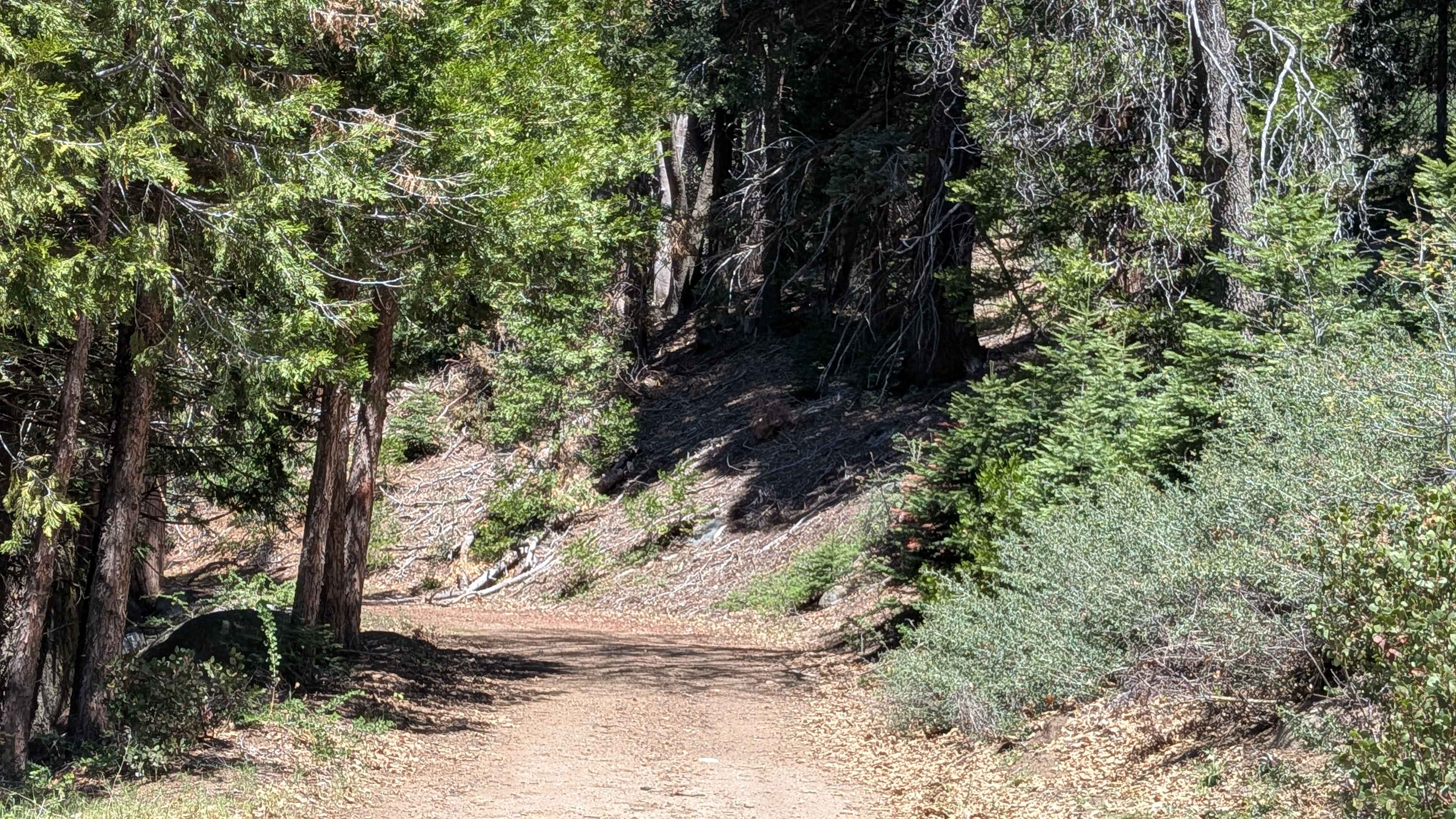
This ATV trail starts out on the west end between the bushes, creating a tighter feeling path for ATVs, although still wide for dirt bikes. It winds down through the tall pine trees, cutting across the side of the hill, on a narrower path with big whoops. It goes underneath a canopy of bigleaf maple branches, creating a shaded tunnel. There are some big bumps and dips, and a few small roots, and it goes over a cattle grate on the east end. The first half of the trail is a semi-steep descent, followed by a similar semi-steep climb, ending on Summit Level Road.
Photos of 15EV56
Difficulty
Despite being a pretty easy path, this trail will feel a bit narrow for ATV riders, as it is tight between the bushes and trees as times. It is still considered easy as it doesn't have any major obstacles and is a semi-gradual path the whole time.
Status Reports
15EV56 can be accessed by the following ride types:
- ATV (50")
- Dirt Bike
15EV56 Map
Popular Trails
Fir Camp - FS 24S22
Mount Mesa - FS 26S40A
Wilfred Canyon Cutoff - FS 4S148
The onX Offroad Difference
onX Offroad combines trail photos, descriptions, difficulty ratings, width restrictions, seasonality, and more in a user-friendly interface. Available on all devices, with offline access and full compatibility with CarPlay and Android Auto. Discover what you’re missing today!