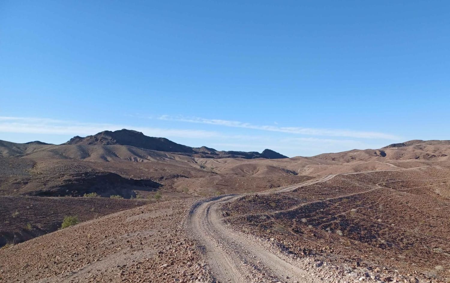
Off-Road Trails in California
Discover off-road trails in California
Learn more about Mine Trail/Loop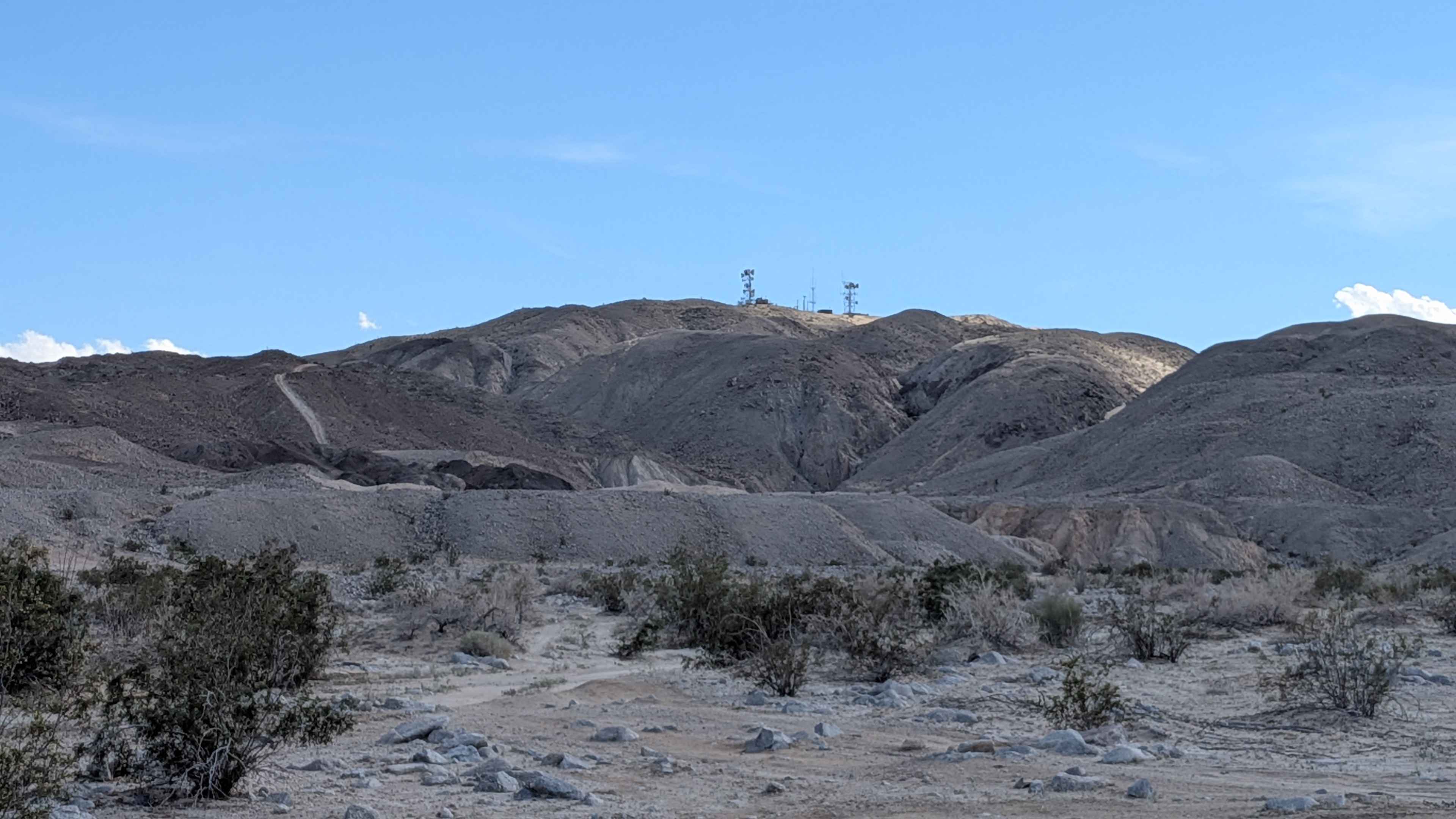
Mine Trail/Loop
Total Miles
0.7
Tech Rating
Moderate
Best Time
Winter, Fall, Spring
Learn more about Mine Wash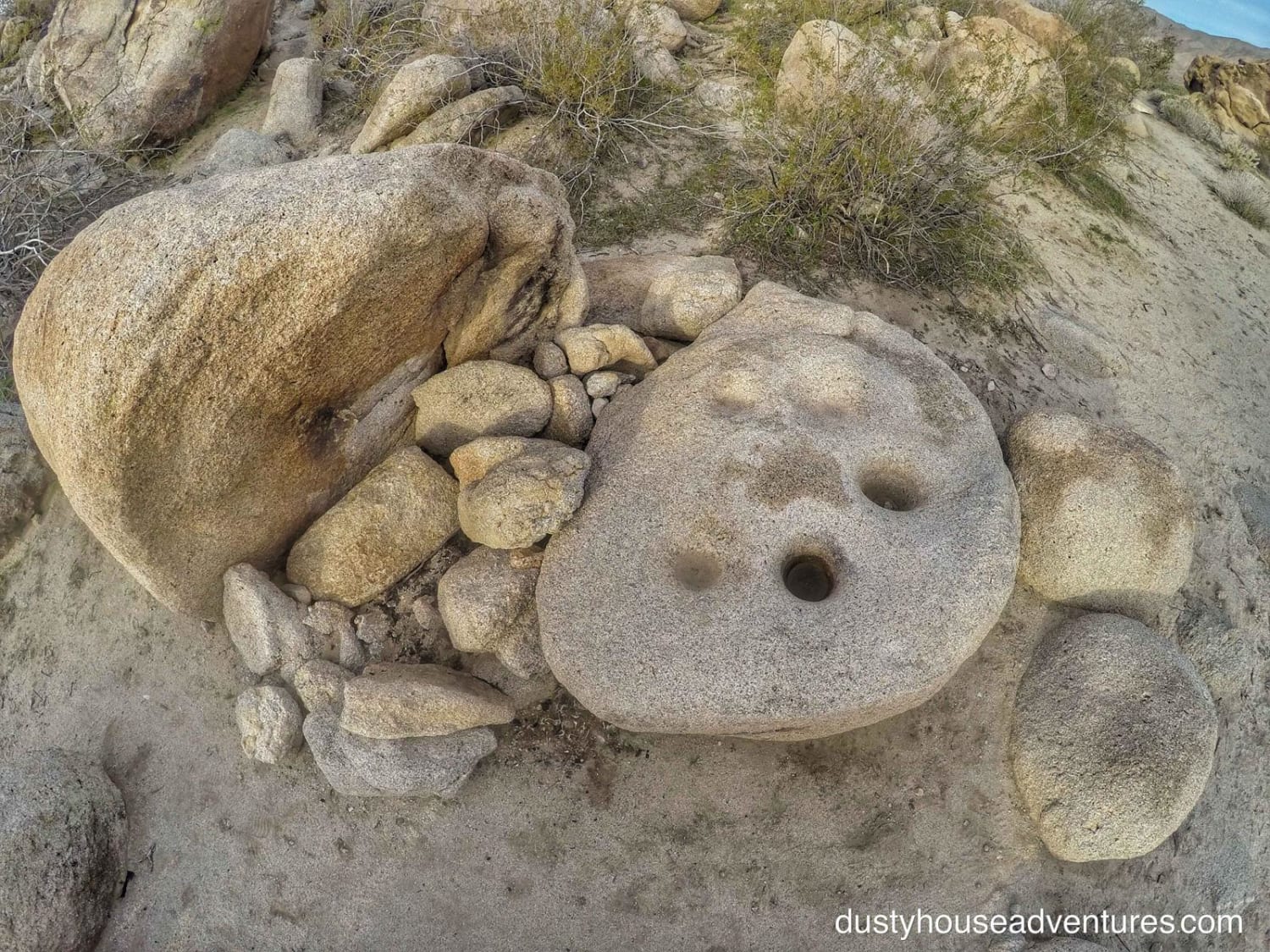
Mine Wash
Total Miles
4.7
Tech Rating
Easy
Best Time
Spring, Summer, Fall, Winter
Learn more about Mirror Lake - FS 22E216
Mirror Lake - FS 22E216
Total Miles
1.3
Tech Rating
Difficult
Best Time
Summer, Fall
Learn more about Mission Mine Road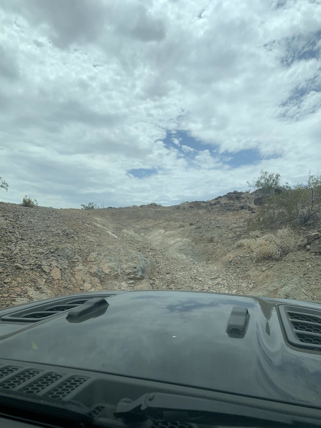
Mission Mine Road
Total Miles
1.0
Tech Rating
Moderate
Best Time
Spring, Fall, Winter
Learn more about Mission Ridge
Mission Ridge
Total Miles
1.0
Tech Rating
Moderate
Best Time
Spring, Summer, Fall, Winter
Learn more about Mitchell Canyon Long Valley
Mitchell Canyon Long Valley
Total Miles
7.1
Tech Rating
Easy
Best Time
Summer, Fall
Learn more about Mitchell Mine
Mitchell Mine
Total Miles
2.8
Tech Rating
Easy
Best Time
Spring, Summer, Fall
Learn more about Mojave Road - Afton Canyon
Mojave Road - Afton Canyon
Total Miles
35.8
Tech Rating
Moderate
Best Time
Spring, Fall, Winter
Learn more about Mojave Road, Central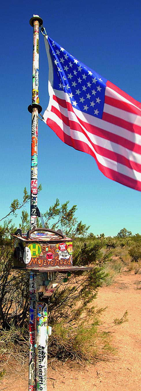
Mojave Road, Central
Total Miles
56.1
Tech Rating
Moderate
Best Time
Fall, Winter, Spring
Learn more about Mojave Road, East
Mojave Road, East
Total Miles
28.9
Tech Rating
Moderate
Best Time
Fall, Winter, Spring
Learn more about Mojave Road, West
Mojave Road, West
Total Miles
31.3
Tech Rating
Moderate
Best Time
Fall, Winter, Spring
Learn more about Monitor Pass - FS 313598
Monitor Pass - FS 313598
Total Miles
0.7
Tech Rating
Moderate
Best Time
Fall, Summer
Learn more about Mono Craters - FS 1S07
Mono Craters - FS 1S07
Total Miles
5.2
Tech Rating
Easy
Best Time
Fall, Summer
Learn more about Mono Craters East - FS 1N24
Mono Craters East - FS 1N24
Total Miles
3.9
Tech Rating
Easy
Best Time
Fall, Summer
Learn more about Mono Creek Gauge
Mono Creek Gauge
Total Miles
0.7
Tech Rating
Easy
Best Time
Spring, Summer, Fall
Learn more about Mono Mills Loop
Mono Mills Loop
Total Miles
3.6
Tech Rating
Easy
Best Time
Summer, Spring, Fall, Winter
Learn more about Monument Peak
Monument Peak
Total Miles
22.9
Tech Rating
Moderate
Best Time
Summer, Fall, Spring
Learn more about Moore Creek Road - FS 1S29
Moore Creek Road - FS 1S29
Total Miles
5.1
Tech Rating
Easy
Best Time
Summer, Fall
ATV trails in California


UTV/side-by-side trails in California


Learn more about 3N267 Fenner Saddle (4N12)
3N267 Fenner Saddle (4N12)
Total Miles
3.8
Tech Rating
Difficult
Best Time
Spring, Summer, Fall, Winter

The onX Offroad Difference
onX Offroad combines trail photos, descriptions, difficulty ratings, width restrictions, seasonality, and more in a user-friendly interface. Available on all devices, with offline access and full compatibility with CarPlay and Android Auto. Discover what you’re missing today!