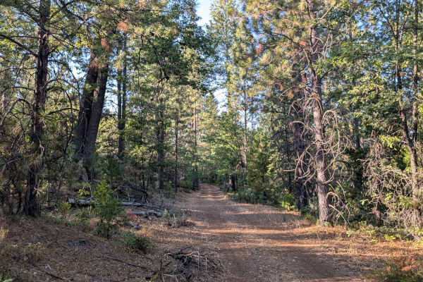
Trail Overview
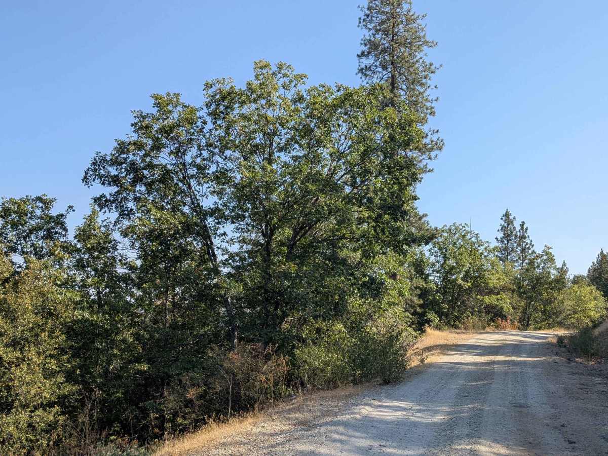
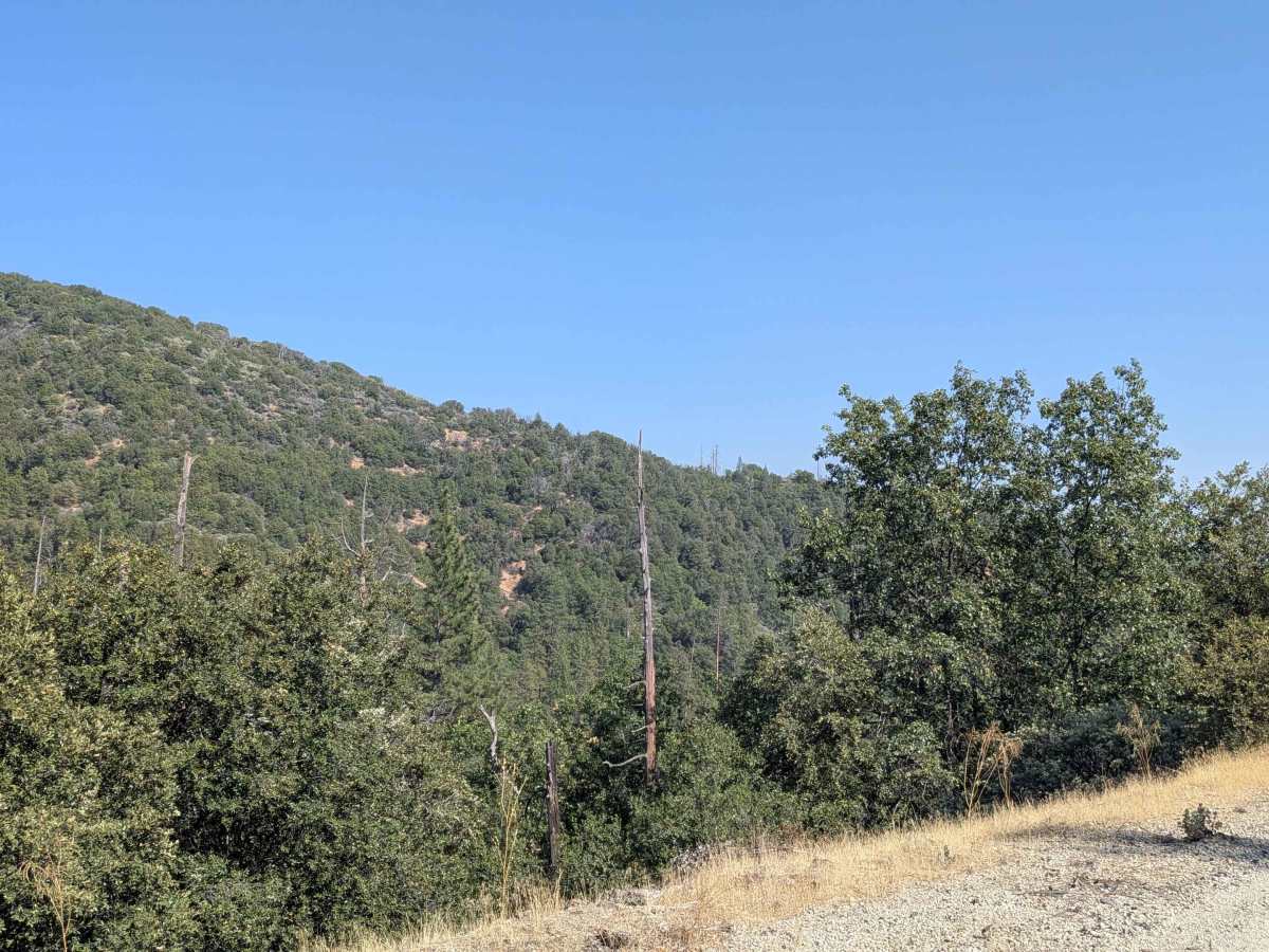
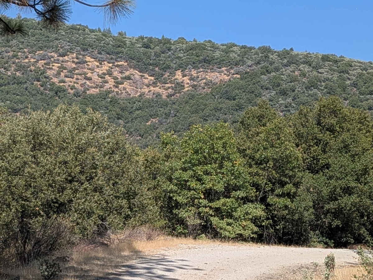
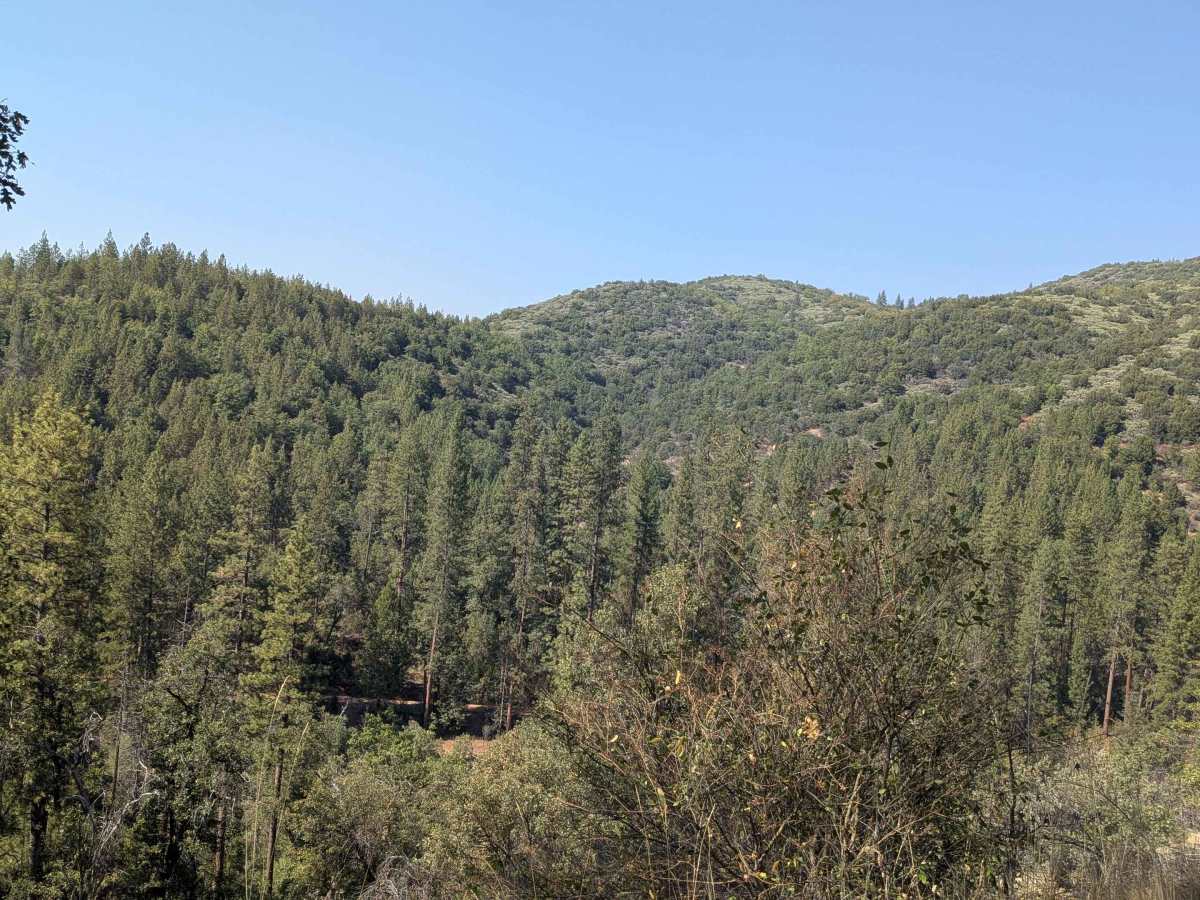
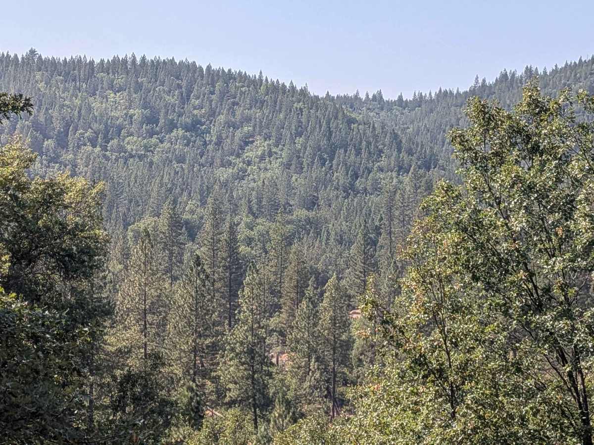
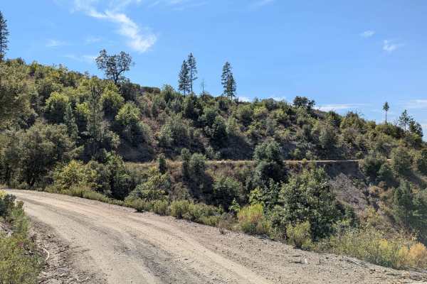
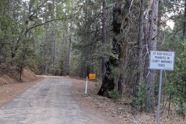
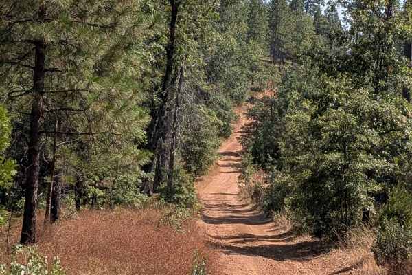
This trail climbs over 600 feet and drops over 450 feet across just over 5 miles, but has become a 10-mile in-and-out trail due to the closure of the north side bridge, eliminating through-passage options. Starting just off Bucks Meadow Road, 3 miles south of Bucks Meadow, the route immediately crosses a bridge before beginning its journey through varied terrain. The trail maintains a width of 1.5 to 2 vehicles with hard-packed dirt and sand surfaces, frequently running along shelf roads that provide elevated perspectives of the surrounding landscape. The route offers excellent views of dense forest valleys below and hills covered with trees extending into the distance, creating a scenic driving experience throughout the journey. The trail surface is relatively smooth with occasional ruts from water drainage that require attention but remain manageable for most vehicles. The natural beauty and forest views provide compelling reasons to undertake this route despite the turnaround requirement at the terminus. At the far end, the trail reaches a closed bridge that blocks any further progress, leaving no alternative route for continuation. This bridge closure forces all traffic to return via the same route, effectively doubling the mileage and requiring drivers to navigate the same terrain in both directions.
Difficulty
This trail receives a difficulty rating of 2, indicating moderate conditions suitable for most high-clearance vehicles and drivers with basic off-road experience. The relatively smooth surface and manageable obstacles make this accessible to intermediate drivers.