Middle Sky Ranch Road - FS 6S010
Total Miles
4.3
Technical Rating
Best Time
Summer, Fall, Spring
Trail Type
Full-Width Road
Accessible By
Trail Overview
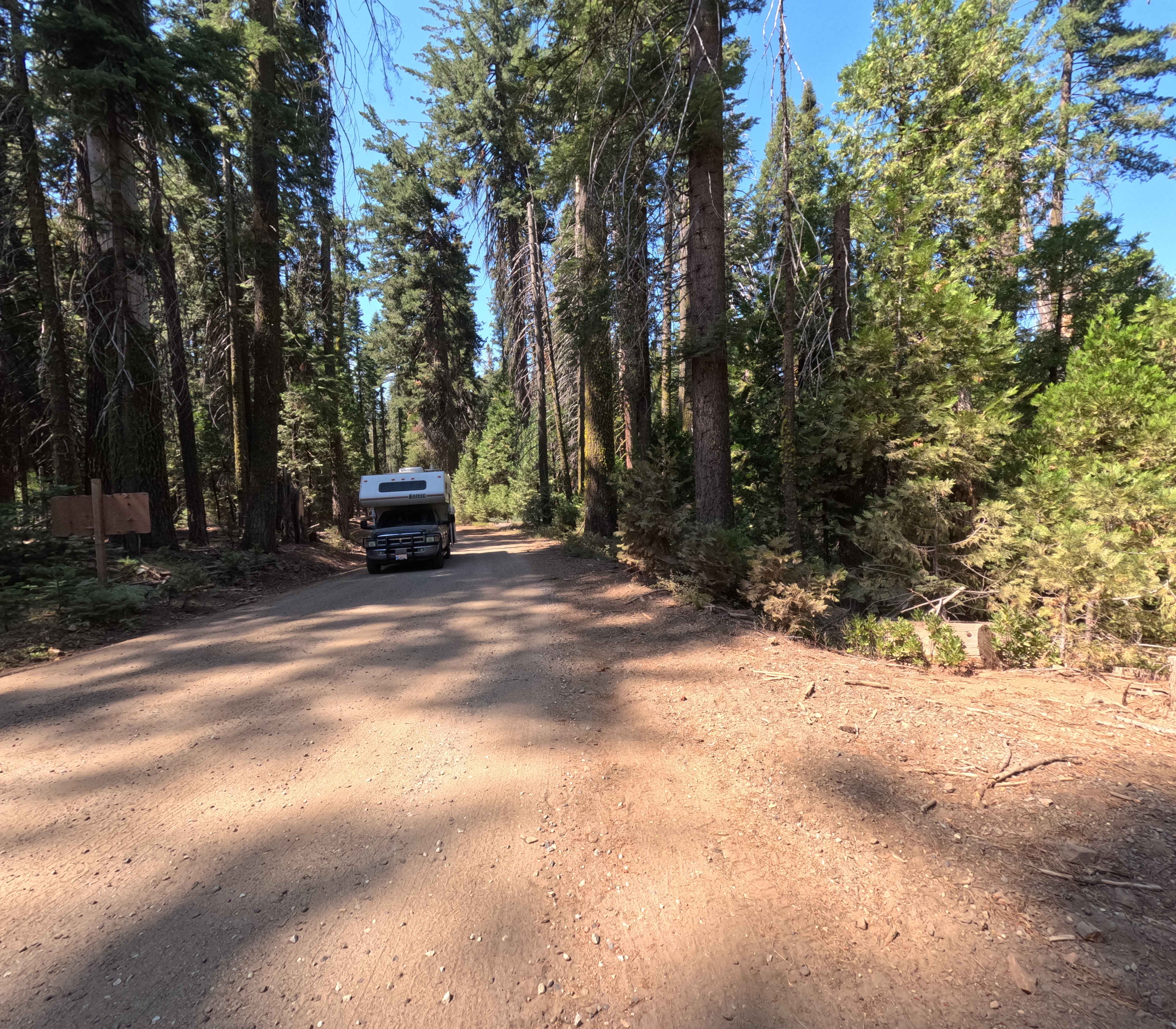
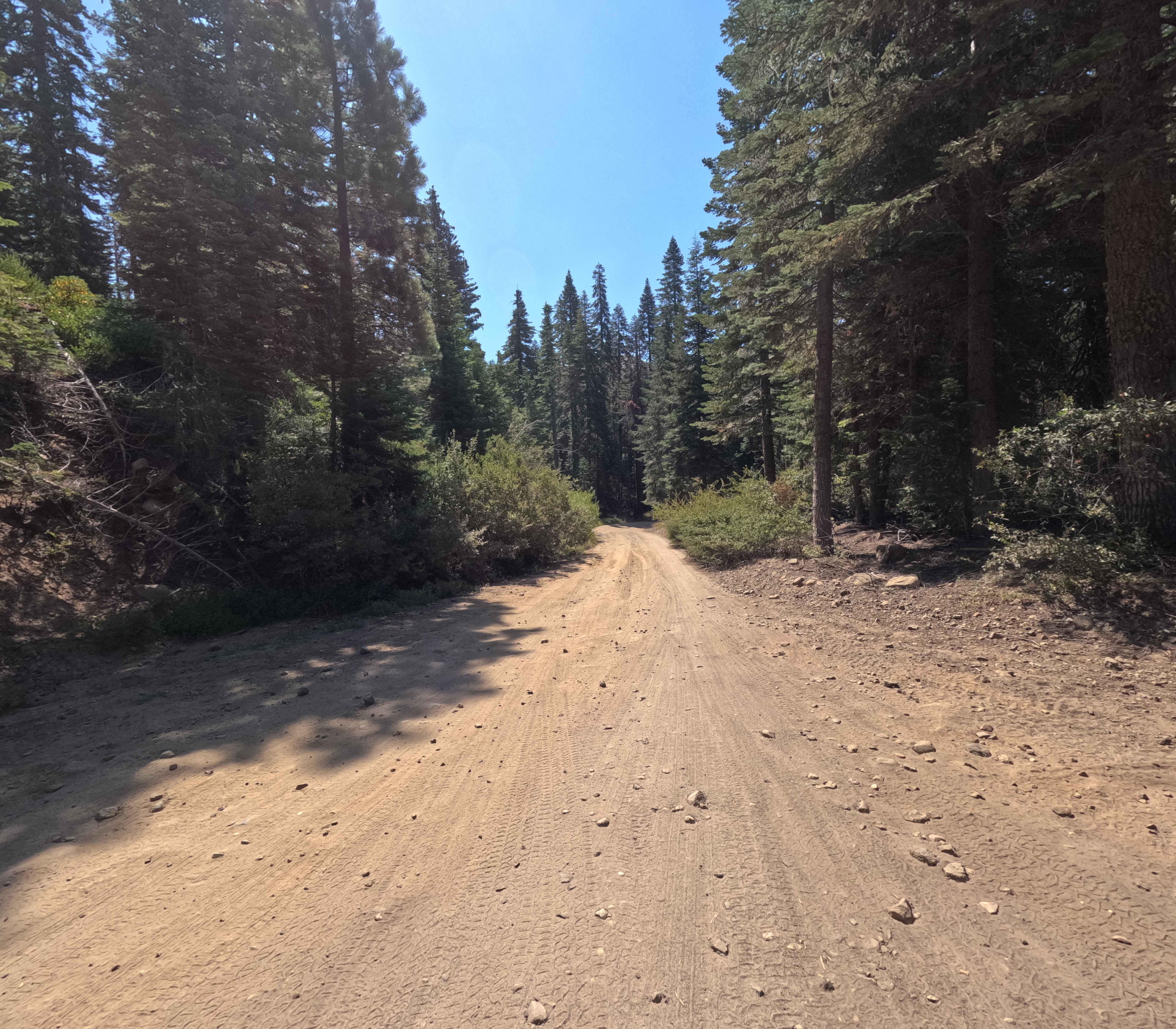
Sky Ranch Road (FS 6S010) acts as the grand, dusty spine of the Sierra National Forest in this district. While the route begins its life as a paved road climbing from Highway 41, this submission covers the crucial 4.3-mile middle section where the asphalt ends and the real adventure begins. Starting at Mile Post 8 (the intersection with Sugar Pine and Boneyard Meadow), the road transitions into a two-lane wide, graded gravel super-highway. It is a smooth, scenic ascent that sweeps you up through the timber, bypassing the popular Kelty Meadow Campground before reaching the intersection with Grouse Meadow (FS 5S038). This segment is the "Goldilocks" zone of the mountain--wild enough to feel remote, but civilized enough for a relaxed cruise. It serves as the primary launchpad for countless spur roads, hiking trails, and dispersed campsites, eventually leading to the boundary of the Ansel Adams Wilderness, much higher up. Enjoy the wide turns and the easy climbing before the road changes character further north.
Photos of Middle Sky Ranch Road - FS 6S010
Difficulty
This middle section of Sky Ranch Road is a textbook Rating 1. It is maintained as a primary forest artery, meaning the surface is well-graded gravel and wide enough for two-way traffic to pass without stress. There are no technical obstacles, rocks, or ruts to navigate. It is designed to be accessible for nearly any vehicle, including passenger cars and trucks towing trailers to the campgrounds. The only "challenge" is ensuring you don't get too comfortable and speed around blind corners. It remains easy until the junction with Grouse Meadow, where the road character begins to deteriorate.
Status Reports
Middle Sky Ranch Road - FS 6S010 can be accessed by the following ride types:
- High-Clearance 4x4
- SUV
Middle Sky Ranch Road - FS 6S010 Map
Popular Trails
Santa Ana Divide - FS 2N11

Sawmill Crossover 1S16
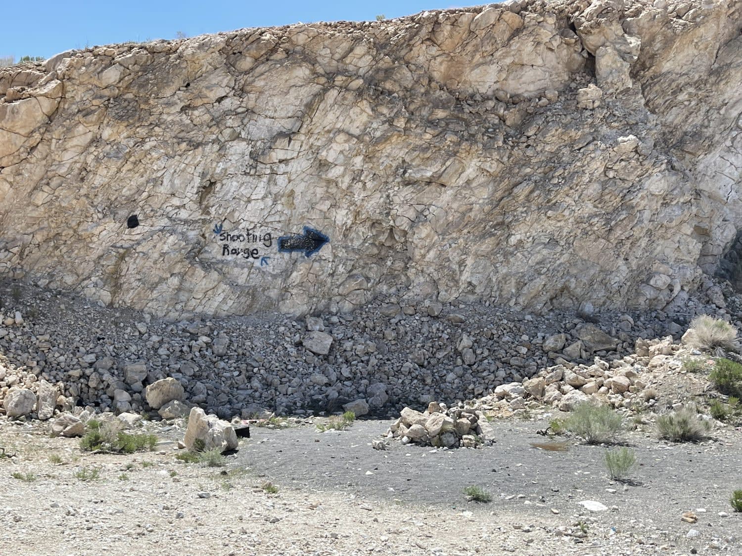
The "Shooting Range" Quarry
The onX Offroad Difference
onX Offroad combines trail photos, descriptions, difficulty ratings, width restrictions, seasonality, and more in a user-friendly interface. Available on all devices, with offline access and full compatibility with CarPlay and Android Auto. Discover what you’re missing today!