McGee Creek R2
Total Miles
2.1
Technical Rating
Best Time
Summer, Fall
Trail Type
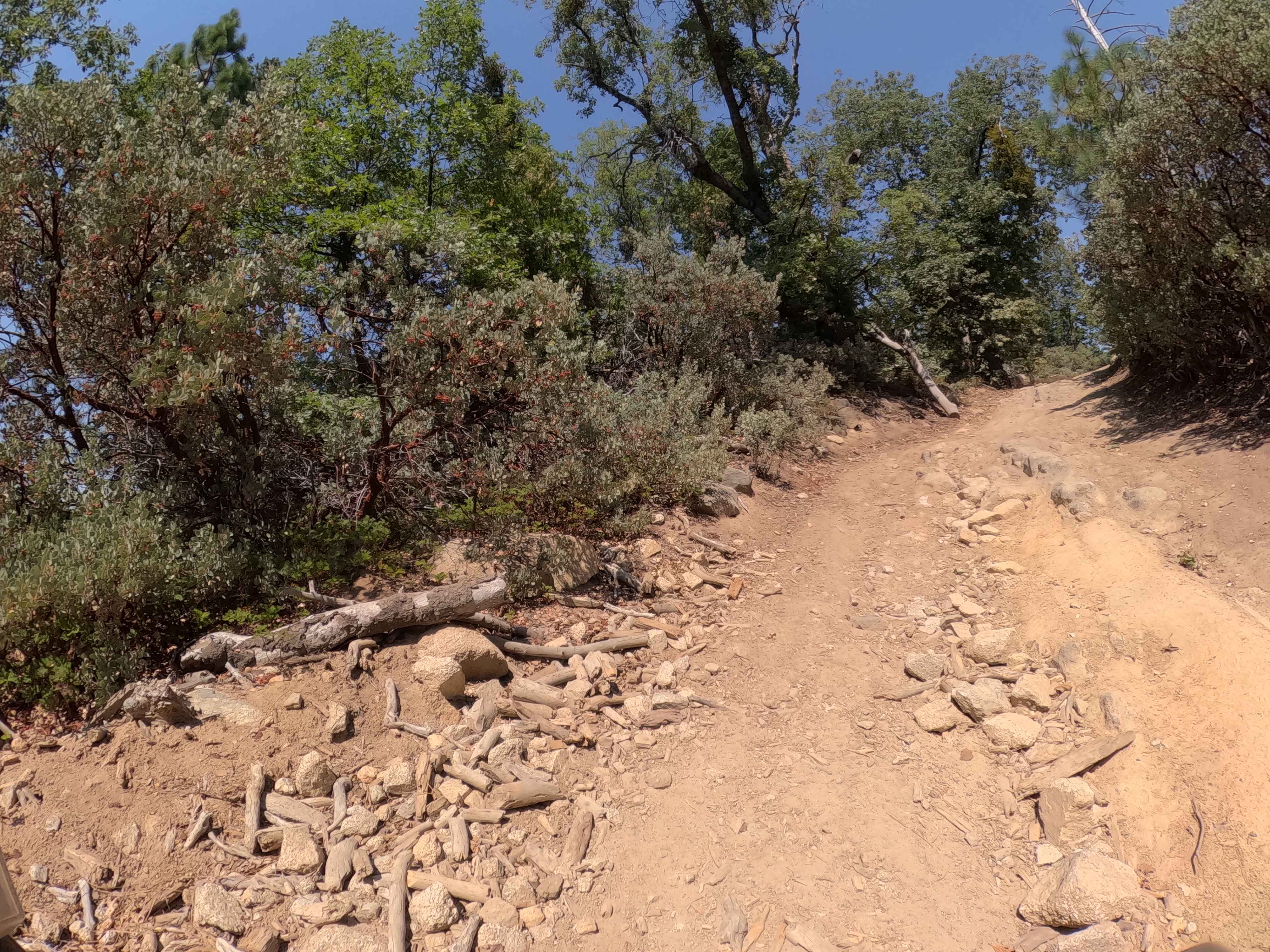
Full-Width Road
Accessible By
Trail Overview
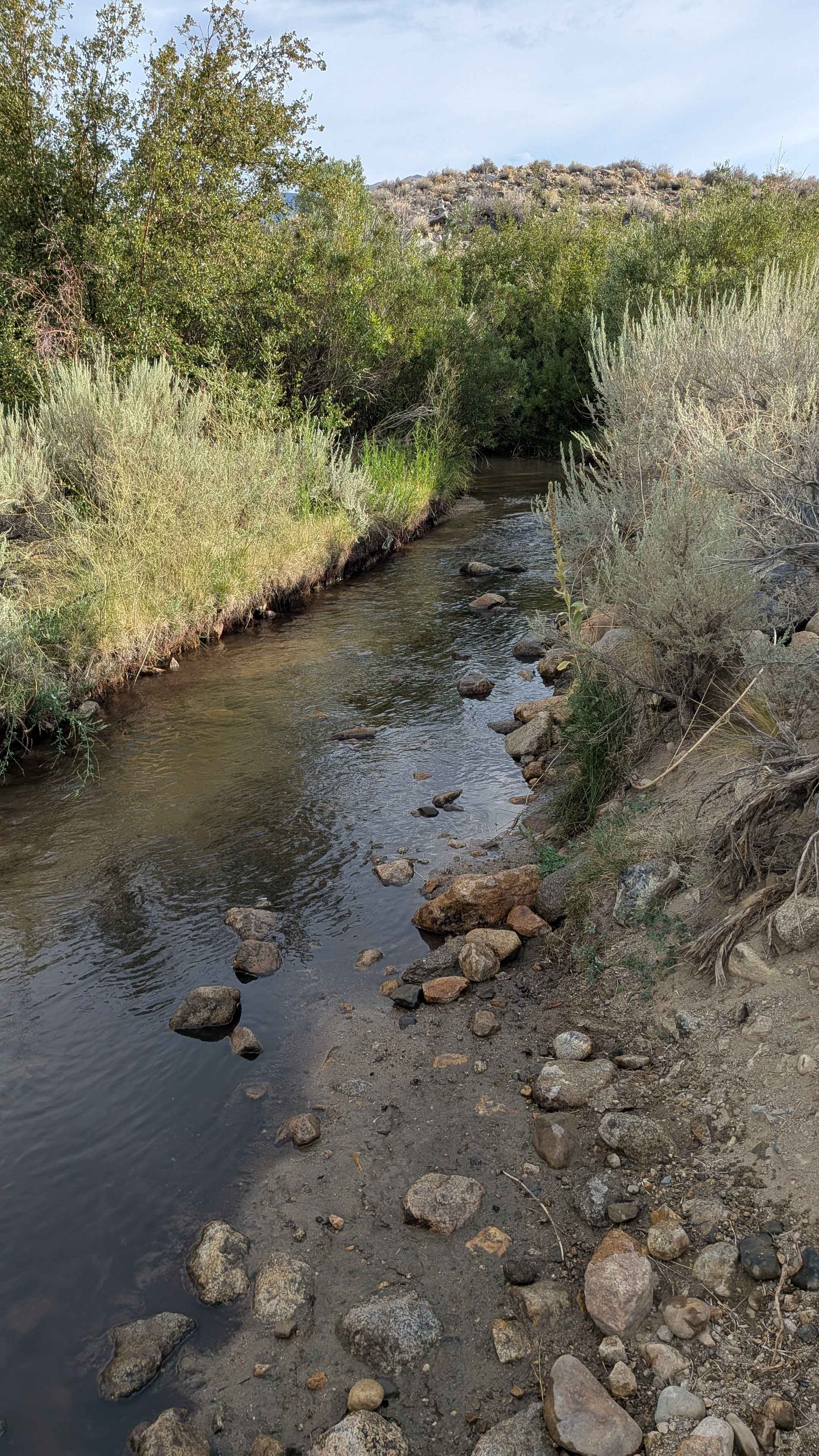
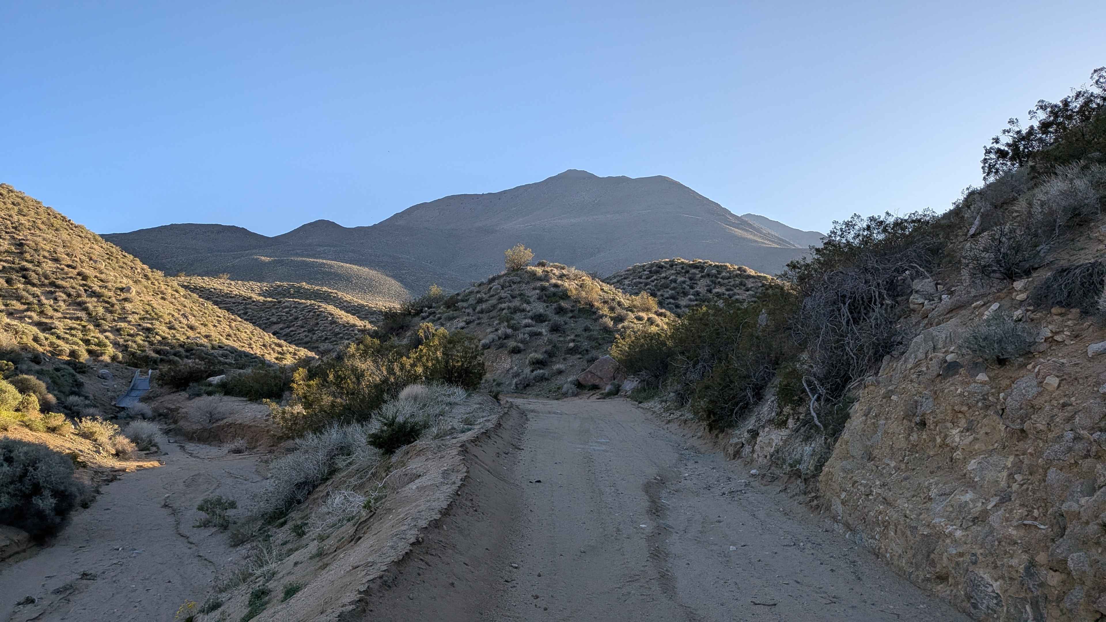
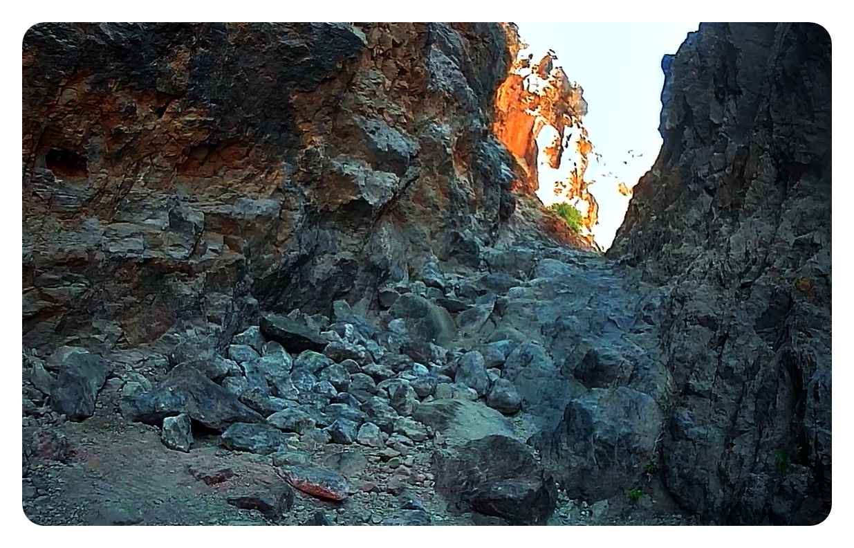
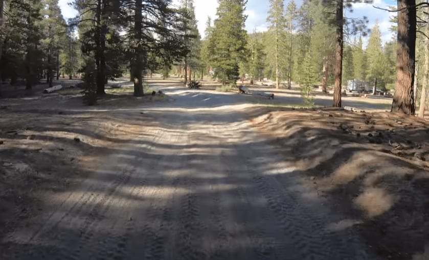
This route drops over 734 feet in 2 miles, offering views of the Eastern Sierras, the White Mountains, the Buttermilk Rock Formations, and the Town of Bishop below as you descend. The trail features some interesting and beautiful rock formations along the way, providing scenic interest beyond just the mountain vistas. The descent creates a dramatic elevation change that showcases the diverse landscape of the Eastern Sierra region. This trail is part of the larger R2 trail system.
Photos of McGee Creek R2
Difficulty
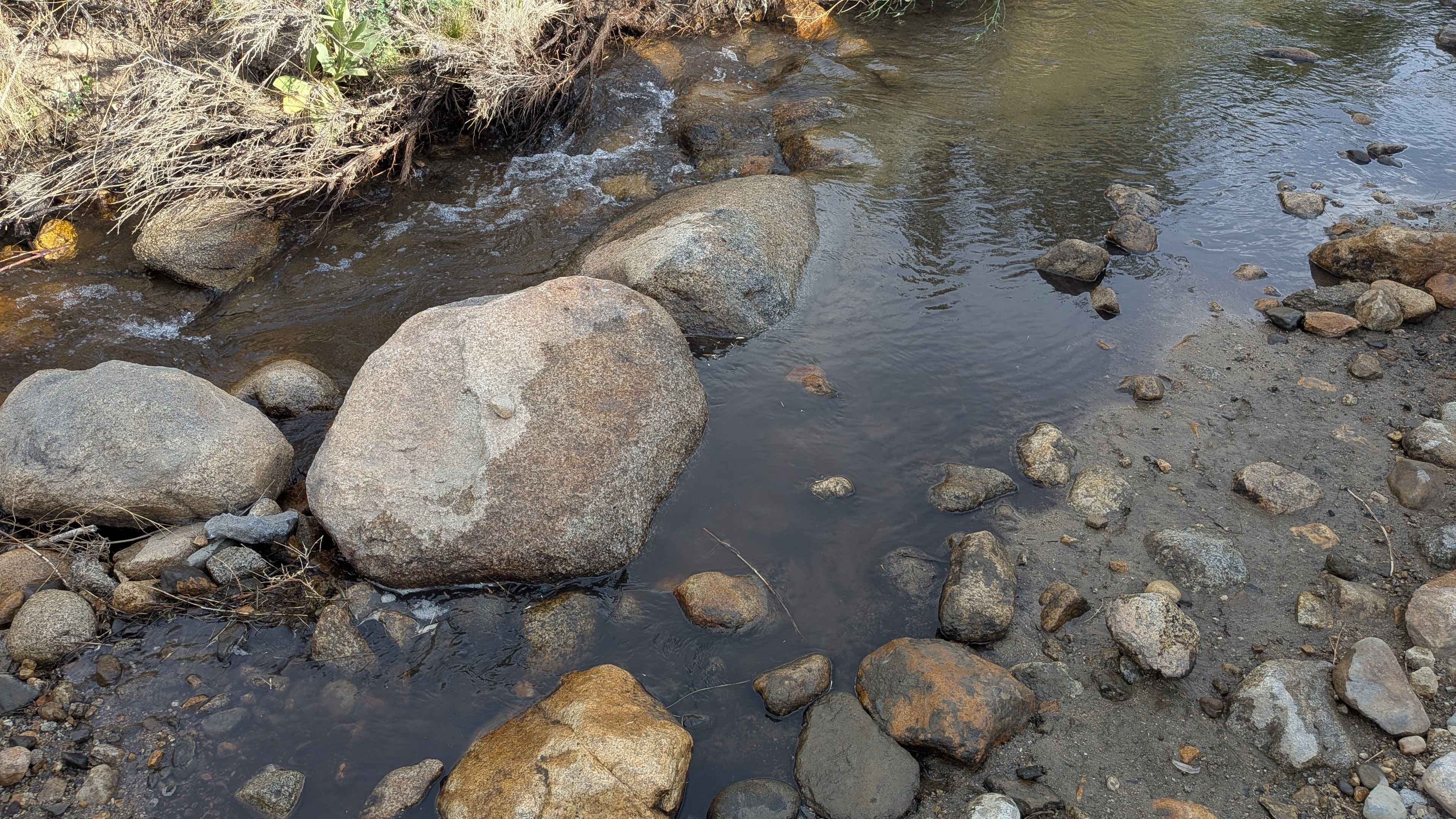
Although most of the trail earns a rating of 2, the water crossing elevates it to an overall rating of 3. The trail surface is sand with lots of gravel and small rocks, plus the occasional large boulder to navigate around. Some off-camber sections exist due to ruts from drainage. The water crossing just before Tungsten City Road can make the difficulty a rating 3 or more, depending on how deep it is, and there are a few large rocks on one side that could be problematic. Use common sense. Turn around if unsure and for safety.
Status Reports
McGee Creek R2 can be accessed by the following ride types:
- High-Clearance 4x4
- SUV
- SxS (60")
- ATV (50")
- Dirt Bike
McGee Creek R2 Map
Popular Trails
Tijuana Camp - FS 5S041
Aqueduct Service Double Canyon
Odessa Canyon - BLM CM7635
Glass Creek to Mammoth Mountain Lodge - Part 1
The onX Offroad Difference
onX Offroad combines trail photos, descriptions, difficulty ratings, width restrictions, seasonality, and more in a user-friendly interface. Available on all devices, with offline access and full compatibility with CarPlay and Android Auto. Discover what you’re missing today!