Mendocino Scenic Corridor
Total Miles
43.2
Technical Rating
Best Time
Spring, Summer, Fall, Winter
Trail Type
High-Clearance 4x4 Trail
Accessible By
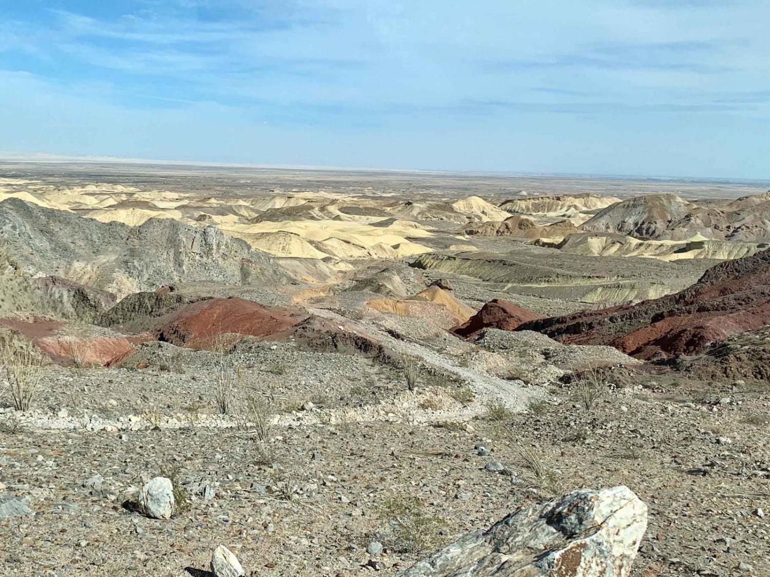
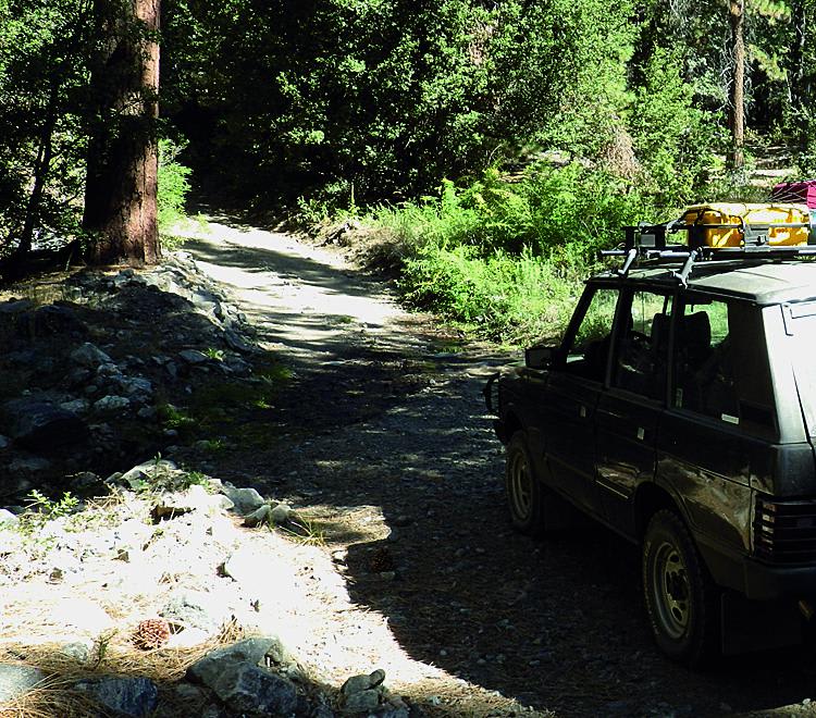
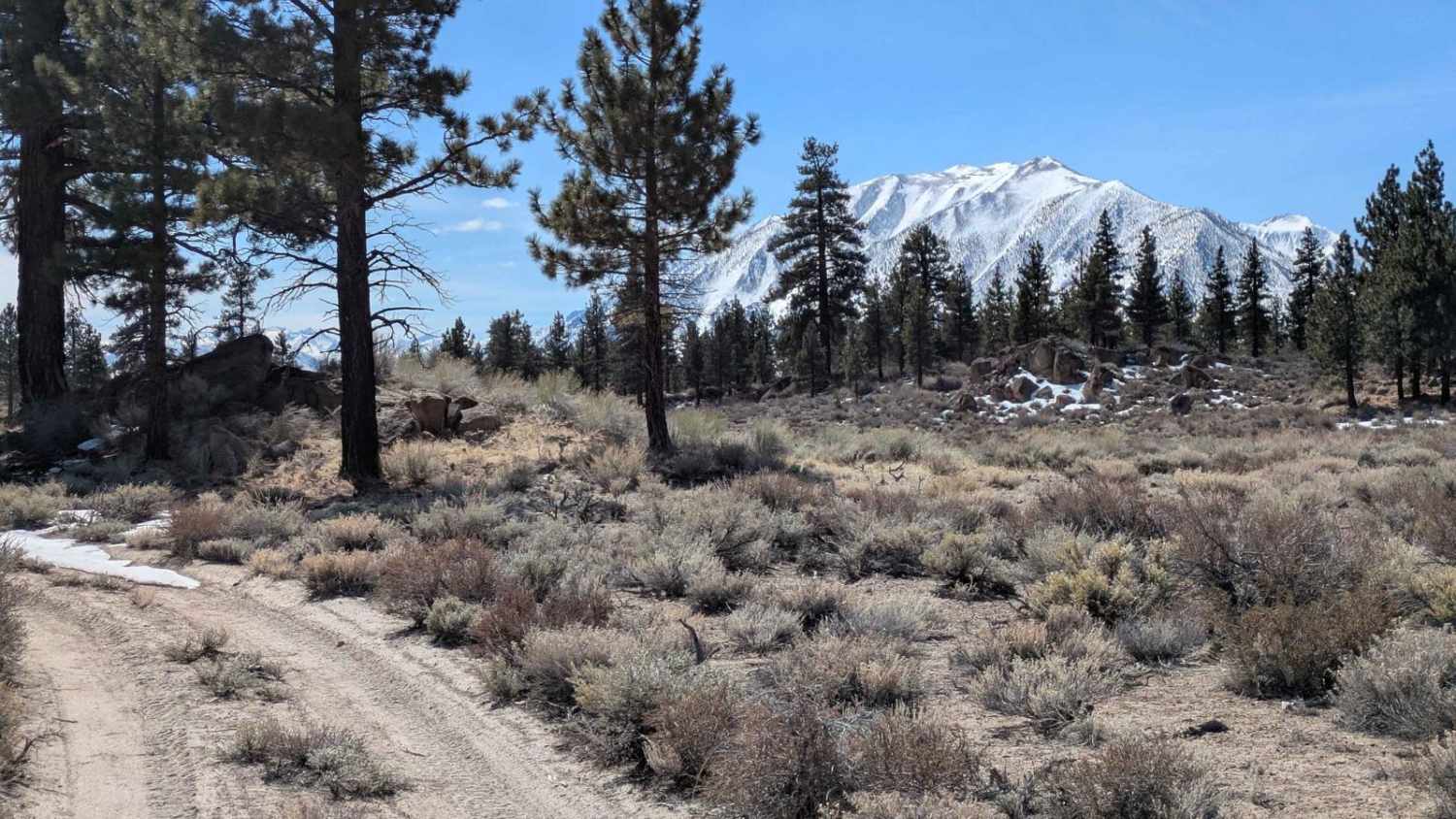
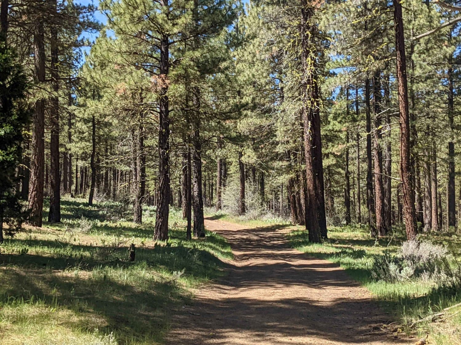
Trail Overview
A 44 mile east to west route through Mendocino National Forest. Starting at Stonyford OHV Staging Area and ending at Middle Creek OHV Staging Area. Great views of mountains, valleys, and Clear Lake towards the end. Campsites are plentiful along the route. The trail does get increasingly narrow as you traverse previous wildfire deadfall and debris. Phone service is spotty at best;make sure to download offline maps for the area.
Photos of Mendocino Scenic Corridor


Difficulty
(Winter Run): Both ends of the trail are fairly easy (3) but the middle section of the trail was covered in snow and mud boosting the difficulty to at least a (4-5). Expect pinstripes from the narrow track and deadfall lining the trail. Some areas are not well maintained and need trees/limbs cleared away to progress.
Status Reports
Mendocino Scenic Corridor can be accessed by the following ride types:
- High-Clearance 4x4
Mendocino Scenic Corridor Map
Popular Trails
Clarks Summit
Round Mountain Cutoff - FS 4S67
Beckwourth Tie Spur - NF23N03YB
The onX Offroad Difference
onX Offroad combines trail photos, descriptions, difficulty ratings, width restrictions, seasonality, and more in a user-friendly interface. Available on all devices, with offline access and full compatibility with CarPlay and Android Auto. Discover what you’re missing today!