Midland Vidal Road
Total Miles
16.8
Technical Rating
Best Time
Spring, Winter, Fall
Trail Type
Full-Width Road
Accessible By
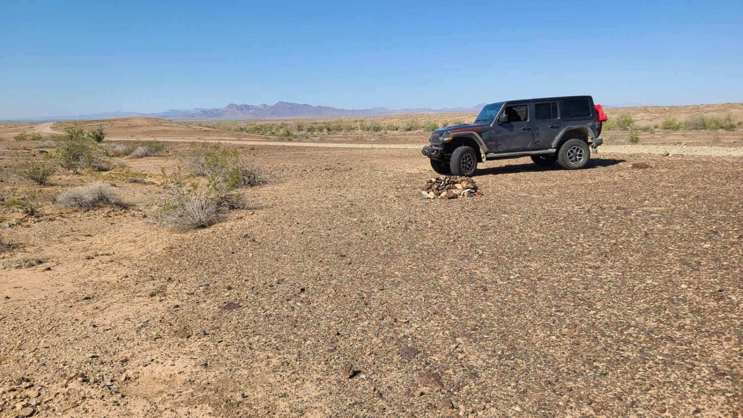
Trail Overview
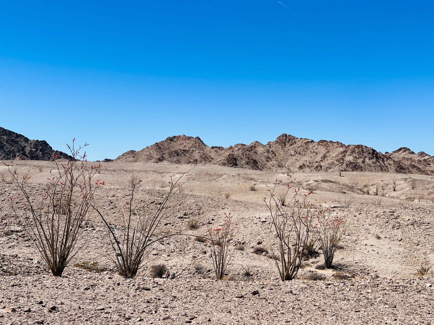
Used by early settlers to travel between Vidal, California, and the now-ghost town of Midland, the Midland-Vidal Road was perhaps also used by Wyatt Earp, who lived in Vidal for a time. Along the drive, there are wonderful panoramas across Rice Valley and a marvelous perspective of the Rice Valley Dunes to the southwest. The trail provides a gateway to explore Rice Valley through its many intersecting trails, as well as the nearby mines, such as the Gold Rice Mine. However, at about the 17-mile mark at its south end, the trail abruptly becomes enveloped by a ten-foot wall of the ever-moving Rice Valley Sand Dunes, preventing further progress. Intersecting trails near this end reach the paved CA 62 to the west and US 95 to the east. There are existing dispersed campsites along its route with nice views, but these are in the flat desert that provides little wind shelter. Drivers exploring the area should carry adequate water, be equipped for self-rescue, and notify family/friends of their travel plans.
Photos of Midland Vidal Road

Difficulty
This is an easy drive that ends at a ten-foot wall of soft sand that will trap heavier vehicles. A four-wheel drive vehicle is required to manage this trail.
Status Reports
Midland Vidal Road can be accessed by the following ride types:
- High-Clearance 4x4
- SUV
- SxS (60")
- ATV (50")
- Dirt Bike
Midland Vidal Road Map
Popular Trails
Bartolas - FS 24S14
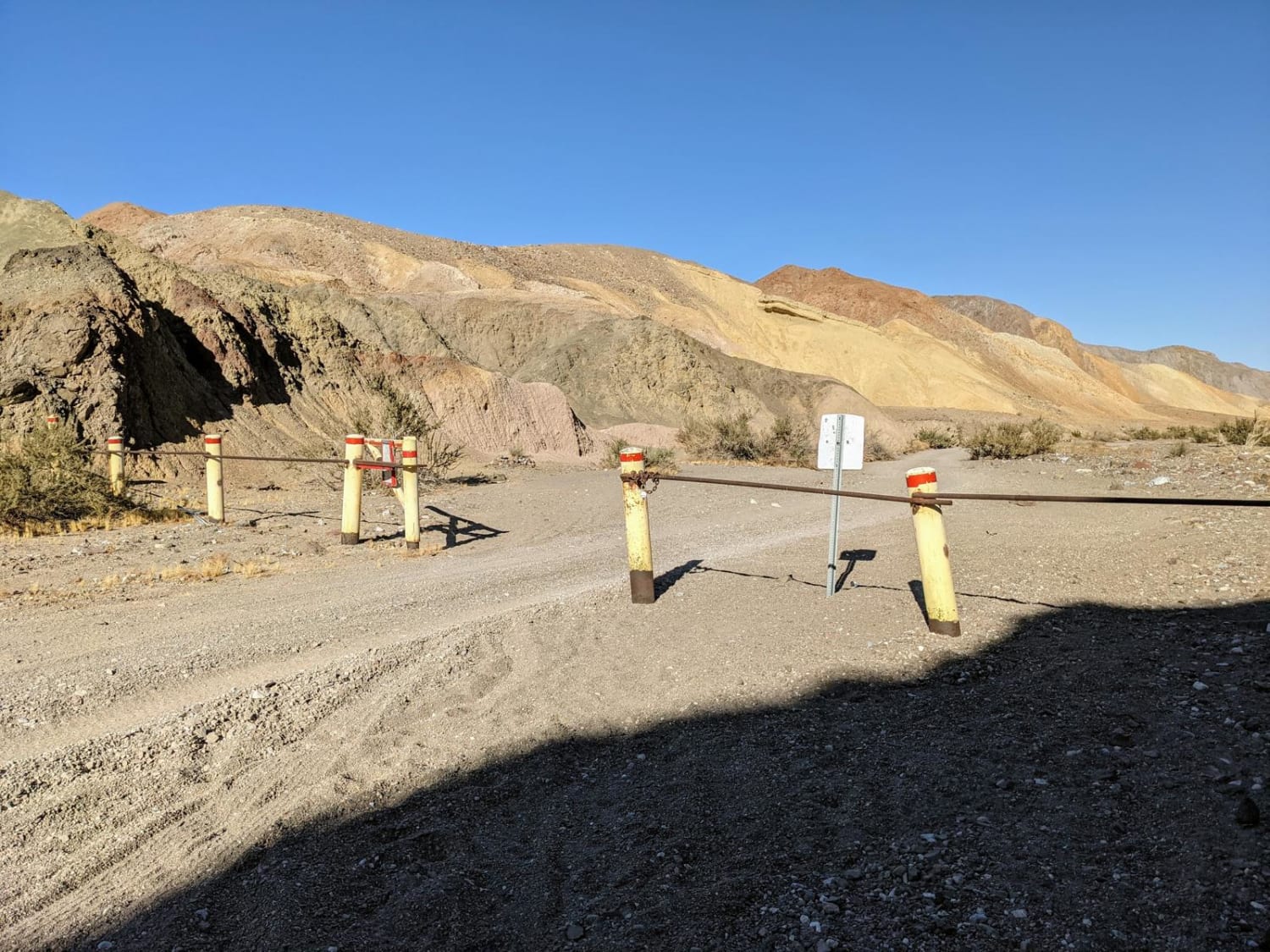
Carrizo Mountain
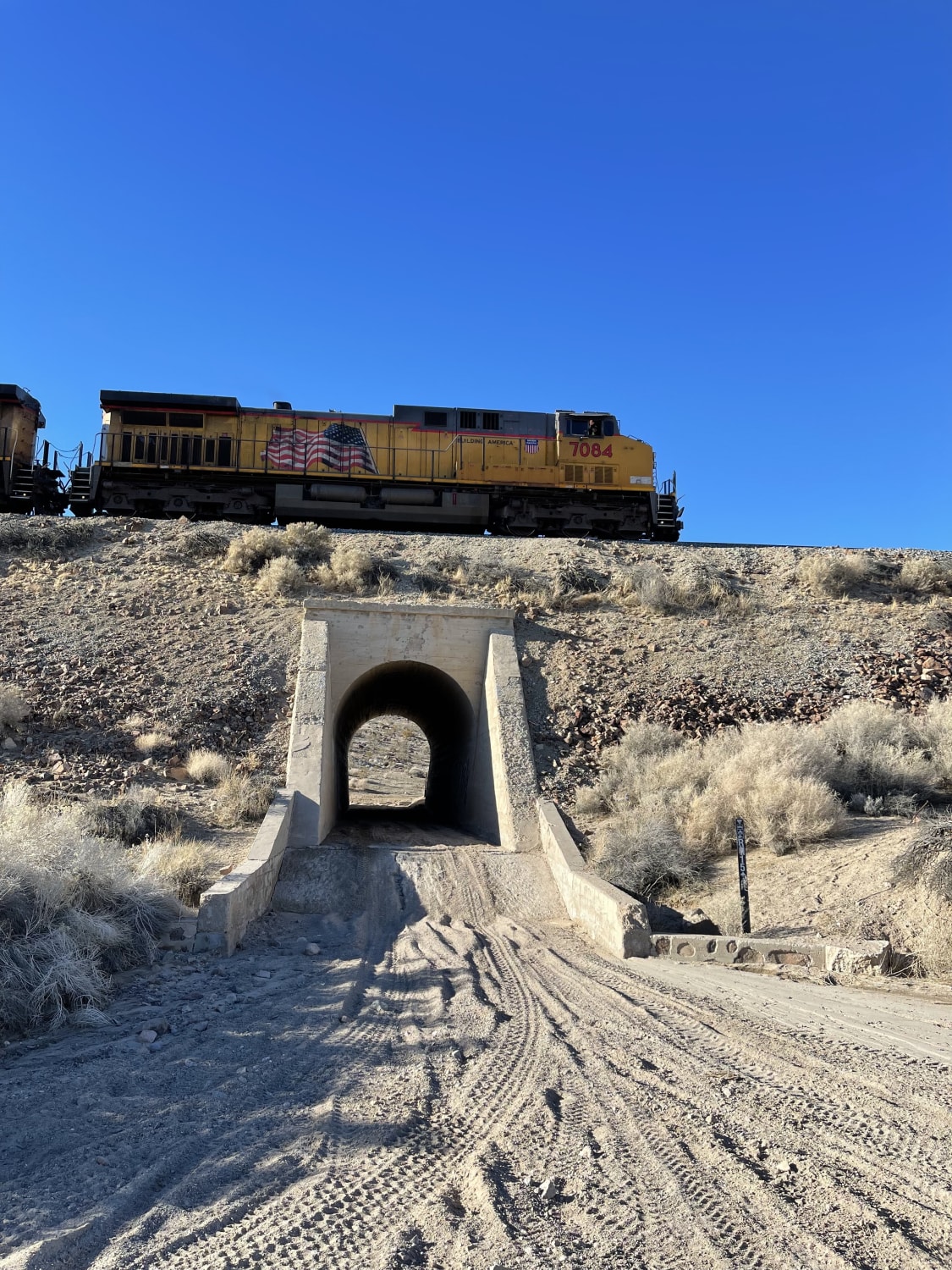
Don't Miss the Train
Ocotillo Out and Back 661
The onX Offroad Difference
onX Offroad combines trail photos, descriptions, difficulty ratings, width restrictions, seasonality, and more in a user-friendly interface. Available on all devices, with offline access and full compatibility with CarPlay and Android Auto. Discover what you’re missing today!