Middle Tuolumne River
Total Miles
6.5
Technical Rating
Best Time
Spring, Summer, Fall
Trail Type
Full-Width Road
Accessible By
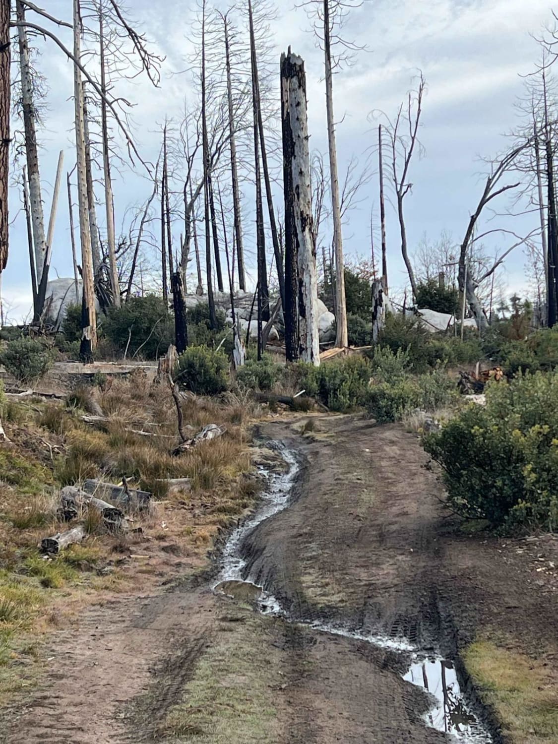
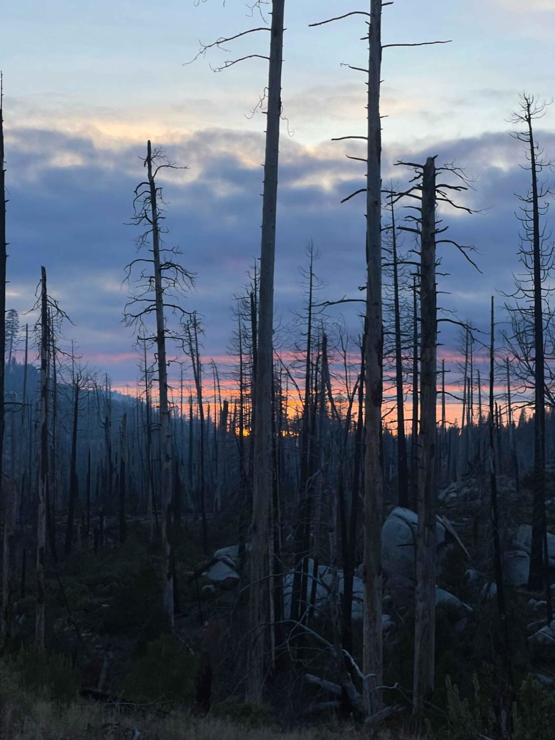
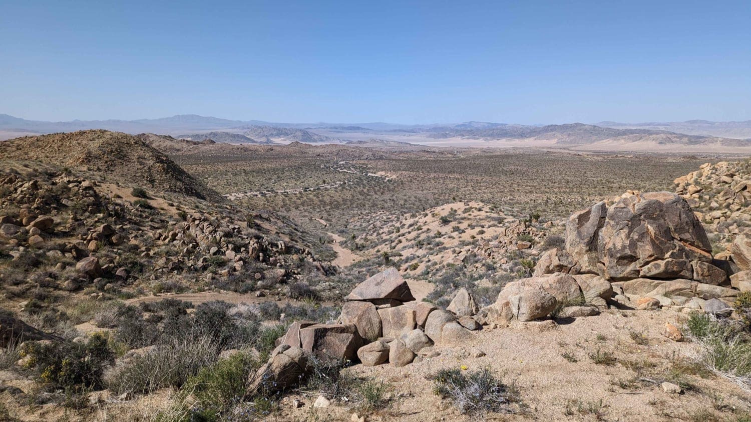
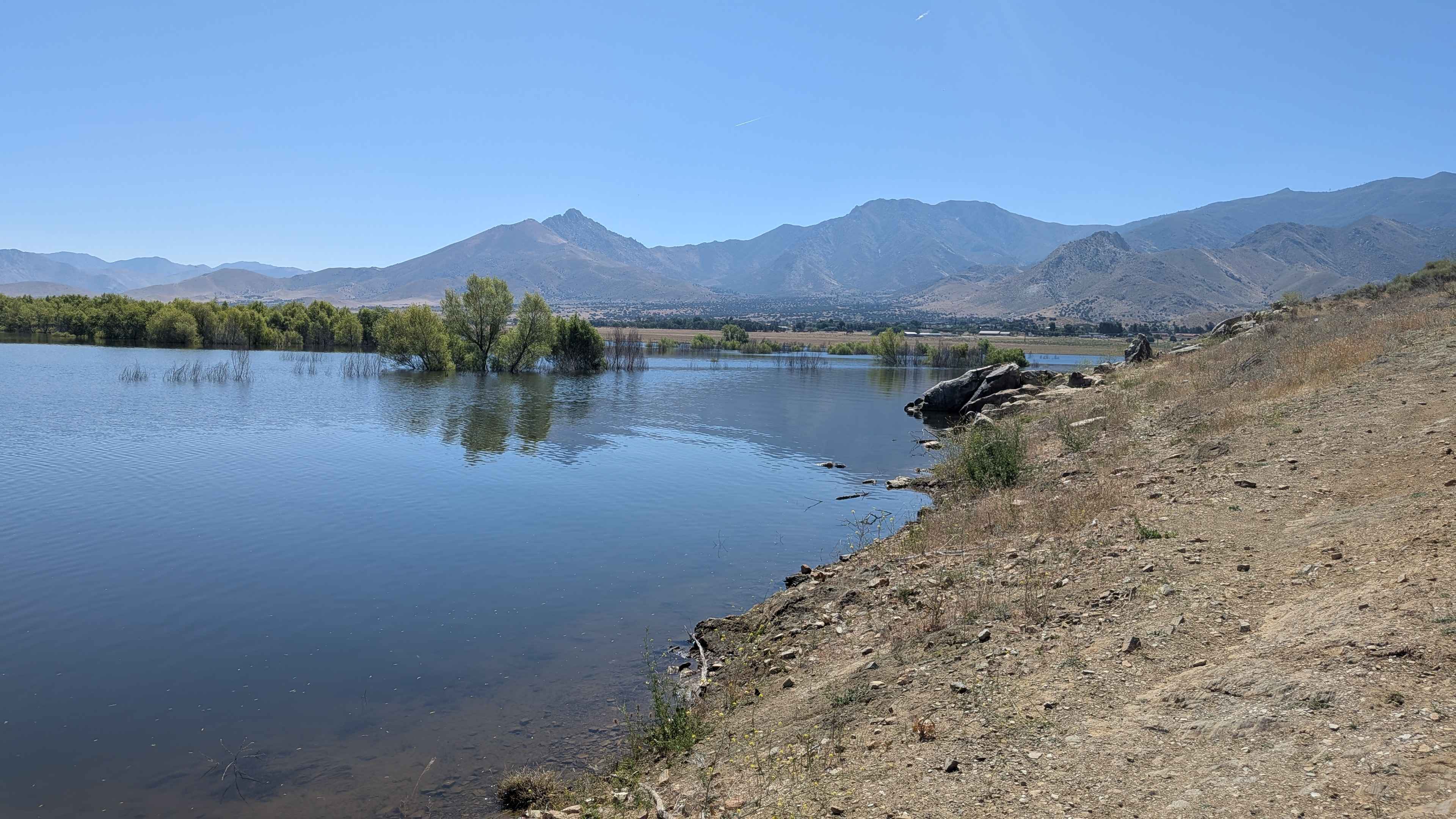
Trail Overview
This trail is a nice little side venture just outside of Groveland that goes into the old burn area and has a few really great camping spots. There are some great spots to camp near the river as well as some other trails in the area to explore. This makes for a great pit stop for some Yosemite or Hetch Hetchy Adventures!
Photos of Middle Tuolumne River
Difficulty
The beginning of the trail is a gravel road but there is a water crossing as well as some larger rocks and ruts in the trail. 4x4 is recommended, or at least some higher clearance.
Status Reports
Middle Tuolumne River can be accessed by the following ride types:
- High-Clearance 4x4
- SUV
Middle Tuolumne River Map
Popular Trails
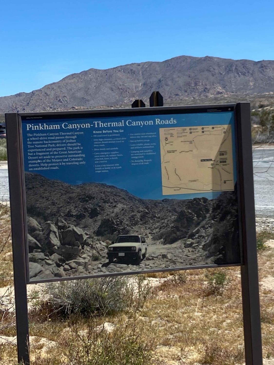
Pinkham Canyon to Thermal Canyon Trail
Trees Planted Road - FS 3S60
Bighorn Connector
Rattlesnake - FS 26S34B
The onX Offroad Difference
onX Offroad combines trail photos, descriptions, difficulty ratings, width restrictions, seasonality, and more in a user-friendly interface. Available on all devices, with offline access and full compatibility with CarPlay and Android Auto. Discover what you’re missing today!