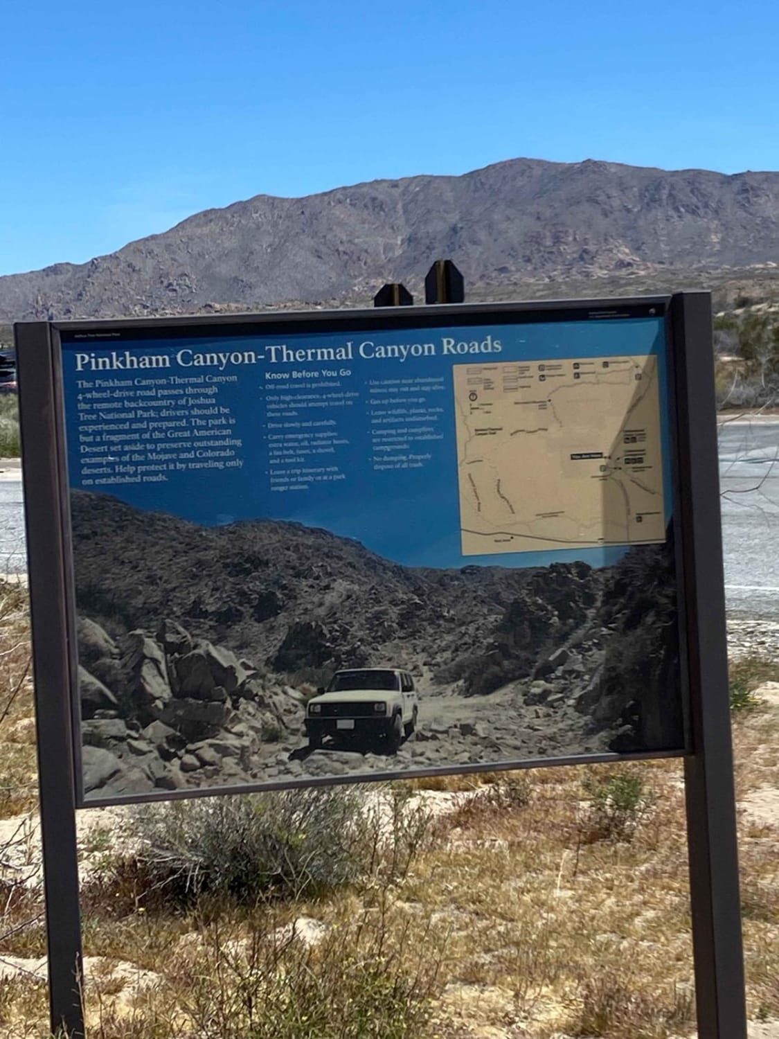
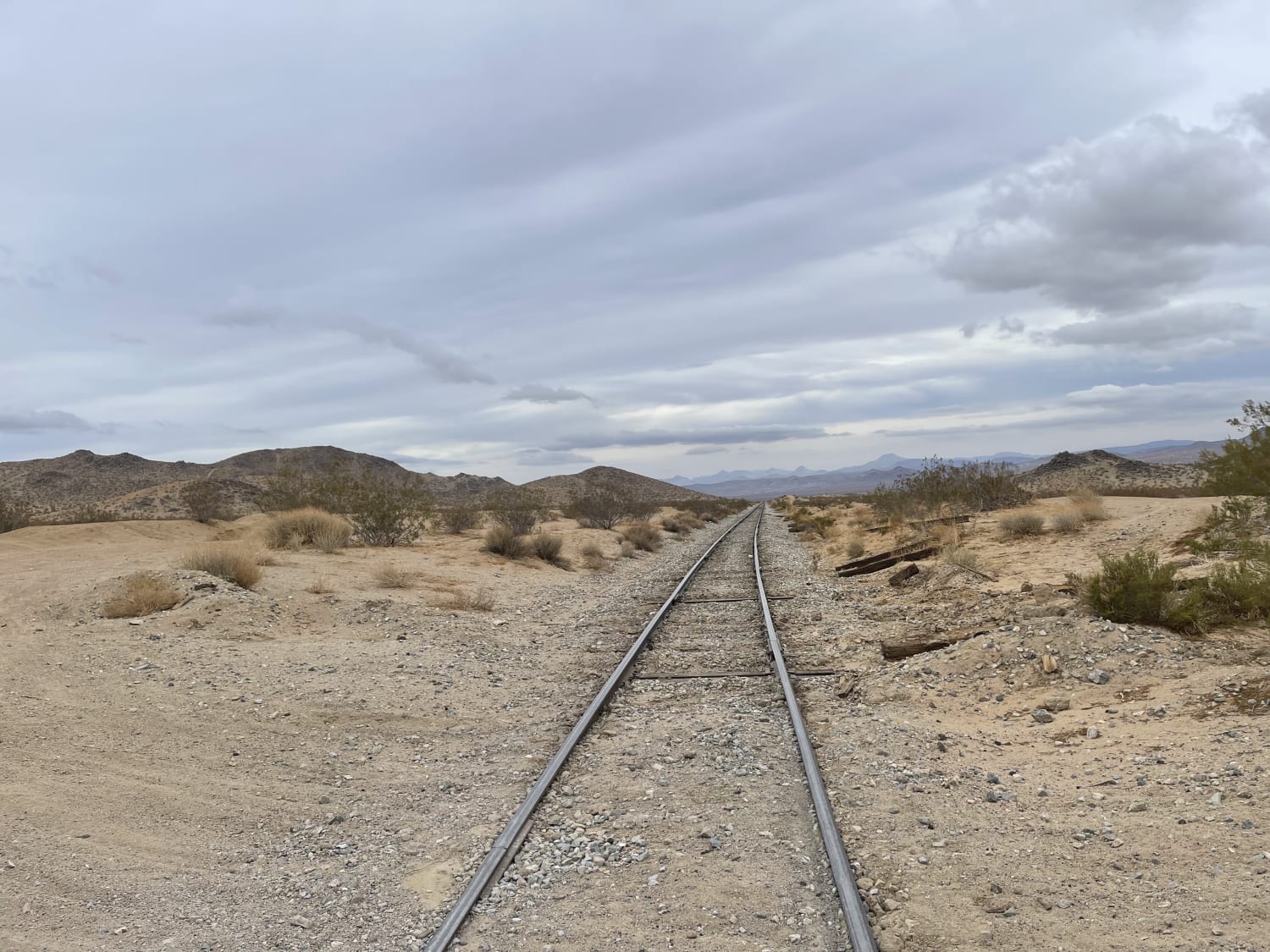
Pinkham Canyon to Thermal Canyon Trail
Total Miles
12.5
Technical Rating
Best Time
Spring, Fall, Winter
Trail Type
High-Clearance 4x4 Trail
Accessible By
Trail Overview
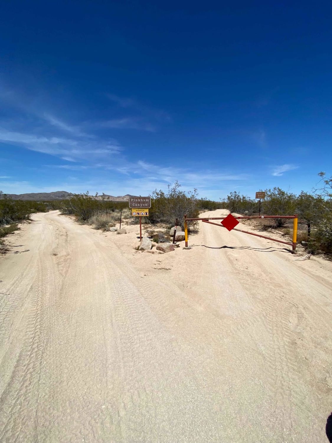
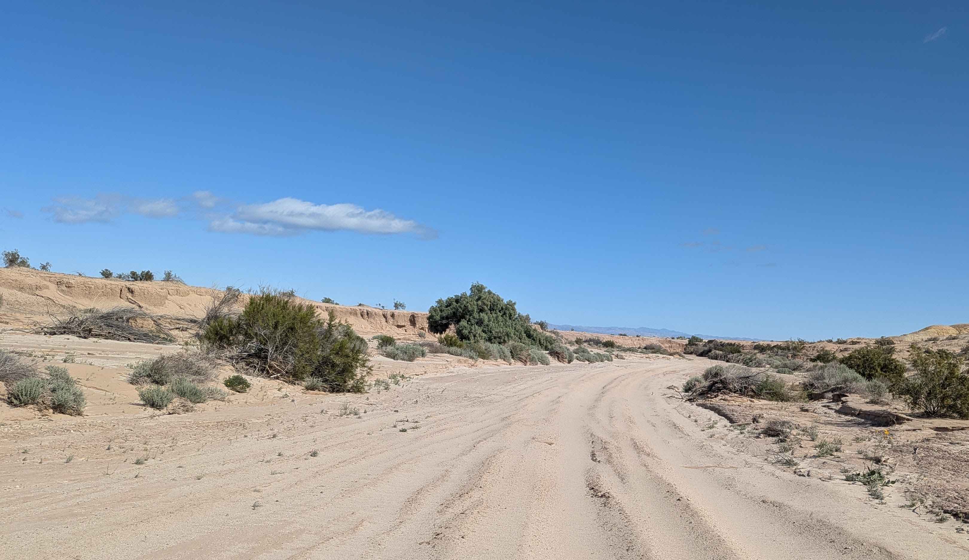
From the Cottonwood entry gate area you will see the trailhead sign for Pinkham and Thermal Canyon Road. Here it is mostly flat and sandy for several miles. Traveling down the middle of a wide valley. The trail is well marked with "Designated Route" stakes. It is important to stay on the trail and not widen the trail or create any side spurs. Both sides of the trail are designated Wilderness Area. You will have to make a decision whether to stay on Pinkham or to catch Thermal to continue on. Both trails are very similar in scenic landscape and difficulty. And both trails exit in the same general direction and vicinity.
Photos of Pinkham Canyon to Thermal Canyon Trail
Difficulty
Mostly sand and washes with minor drop-offs into the washes up on the flats. Once you are in the canyon the trail turns to sand and rocks.
Status Reports
Pinkham Canyon to Thermal Canyon Trail can be accessed by the following ride types:
- High-Clearance 4x4
Pinkham Canyon to Thermal Canyon Trail Map
Popular Trails
Candy Rock Road
Sand Highway
The onX Offroad Difference
onX Offroad combines trail photos, descriptions, difficulty ratings, width restrictions, seasonality, and more in a user-friendly interface. Available on all devices, with offline access and full compatibility with CarPlay and Android Auto. Discover what you’re missing today!