Pickett Peak Road 31053
Total Miles
5.5
Technical Rating
Best Time
Summer, Fall
Trail Type
High-Clearance 4x4 Trail
Accessible By
Trail Overview
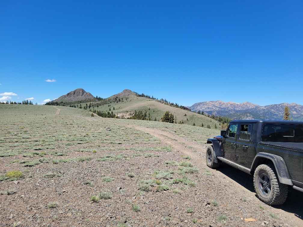
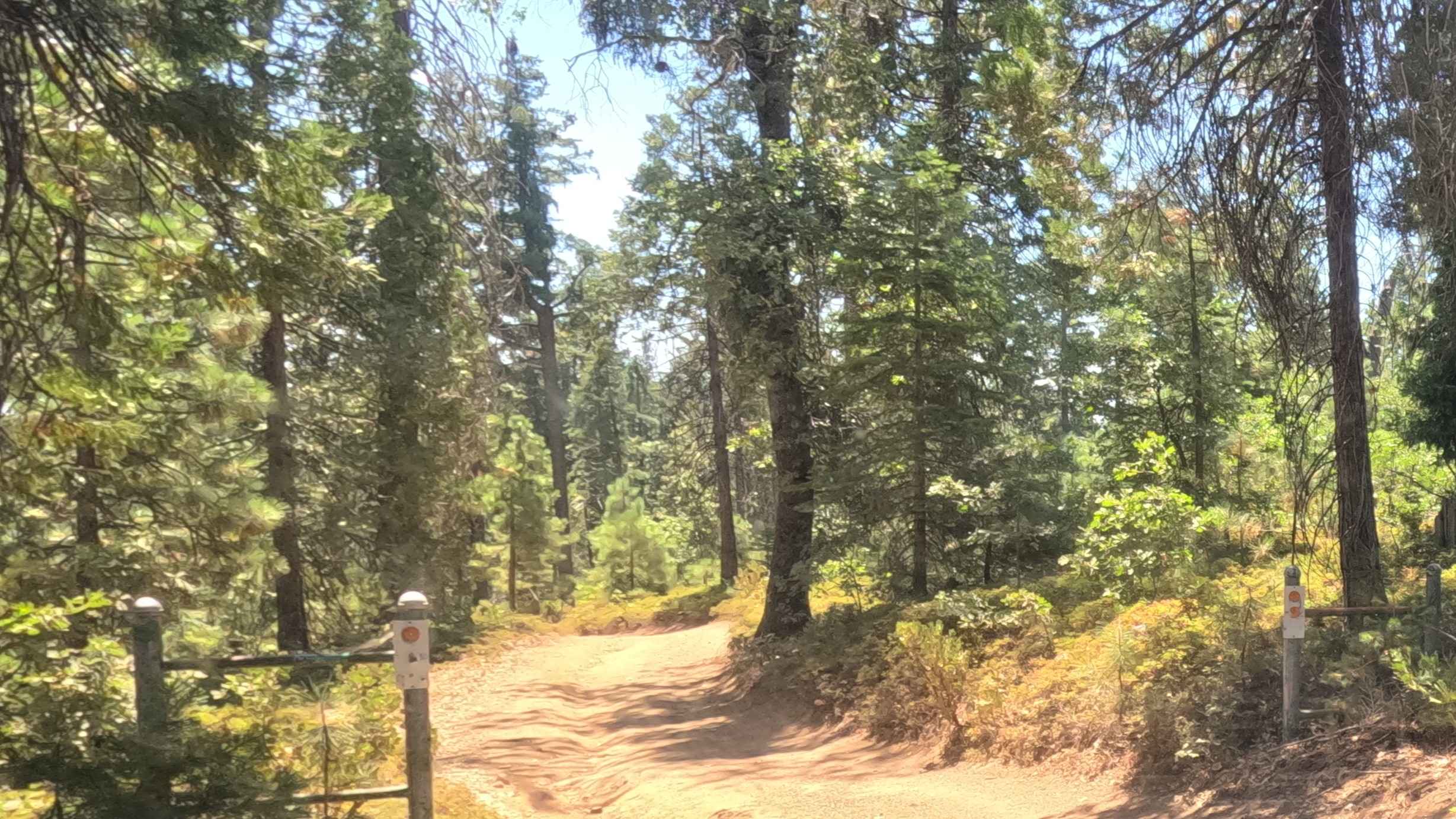
Pickett Peak Road entrance is marked with USFS number 31053. The gradual ascent is typically one vehicle wide with places to pass on this double-track dirt trail. This first 2.5-mile portion of the trail ascends from an elevation of 7,800 feet to 8,500 feet. The trail descends and then climbs to the trail's highest point of 8,700 feet. This climb is the steepest and most technical part of the trail. This slightly steeper section of the trail winds tightly between pine trees which will present long-wheelbase vehicles (Jeep Gladiator size) a challenge. There are a couple of small seasonal stream crossings with a water depth of 6 inches or less. This double-track trail is suited for off-highway and 4WD high-clearance vehicles. It's not recommended for 2WD or 4WD cars.
Photos of Pickett Peak Road 31053

Difficulty
This trail is unmaintained after rain or snow. The road is double-track and single-vehicle-width. A few tall stones and obstacles under 6 inches can be easily avoided. 90% of the trail is easy, but there is 1,500 feet of steep trail that winds tightly through the pine trees.
Status Reports
Pickett Peak Road 31053 can be accessed by the following ride types:
- High-Clearance 4x4
- SxS (60")
- ATV (50")
- Dirt Bike
Pickett Peak Road 31053 Map
Popular Trails
Ten Mile Spur - FS 5S062

Forest Service Road 1N11
Another Way Around
Owens Gorge Loop - FS 4S05
The onX Offroad Difference
onX Offroad combines trail photos, descriptions, difficulty ratings, width restrictions, seasonality, and more in a user-friendly interface. Available on all devices, with offline access and full compatibility with CarPlay and Android Auto. Discover what you’re missing today!