North Fork Lubken Creek Canyon
Total Miles
3.6
Technical Rating
Best Time
Spring, Fall
Trail Type
Full-Width Road
Accessible By
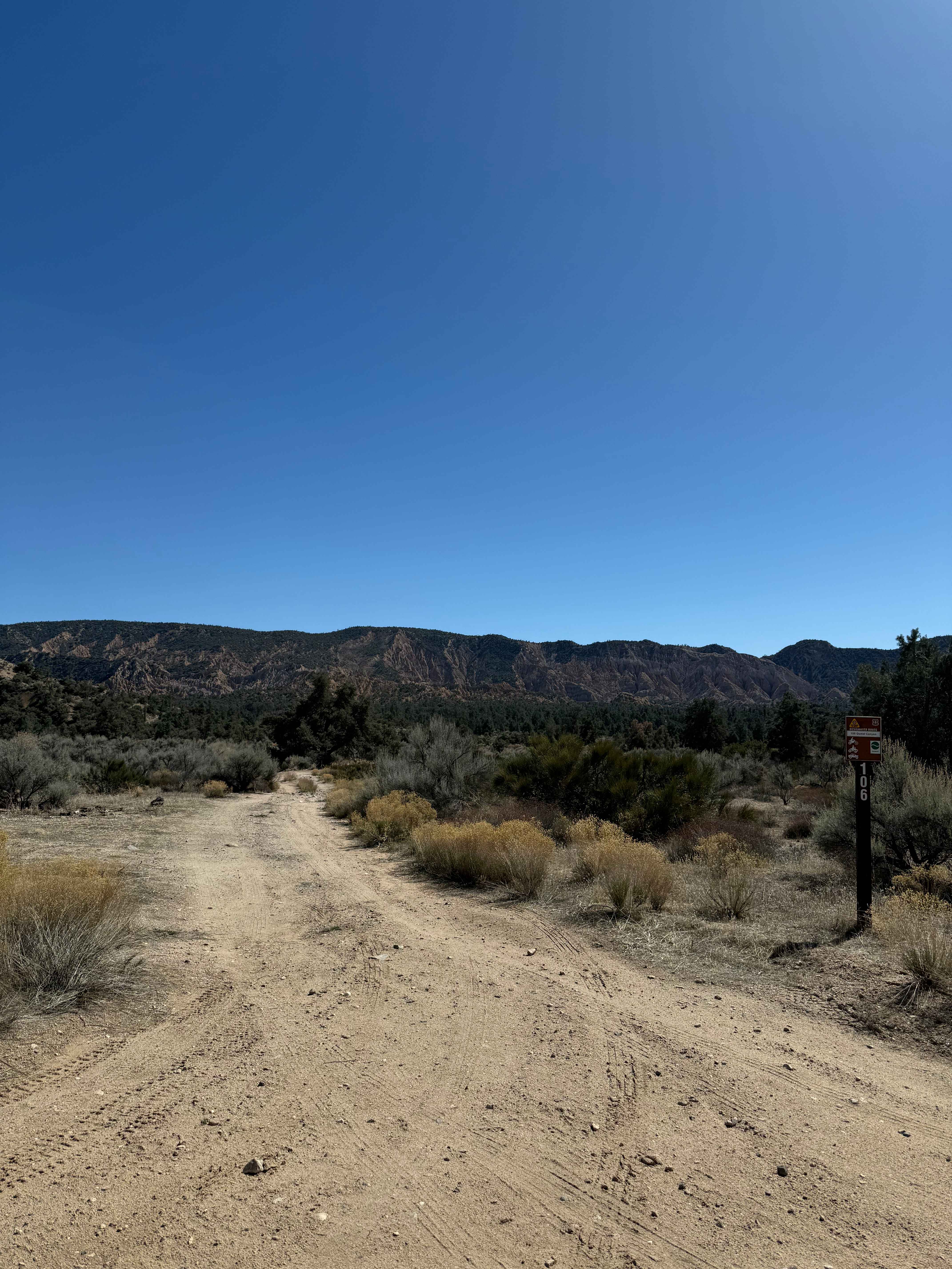
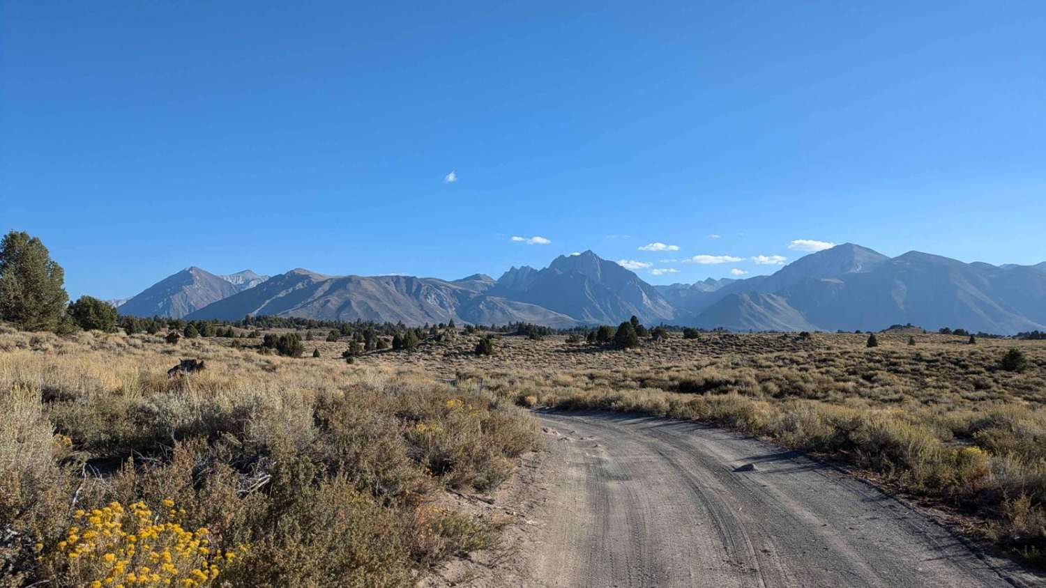
Trail Overview
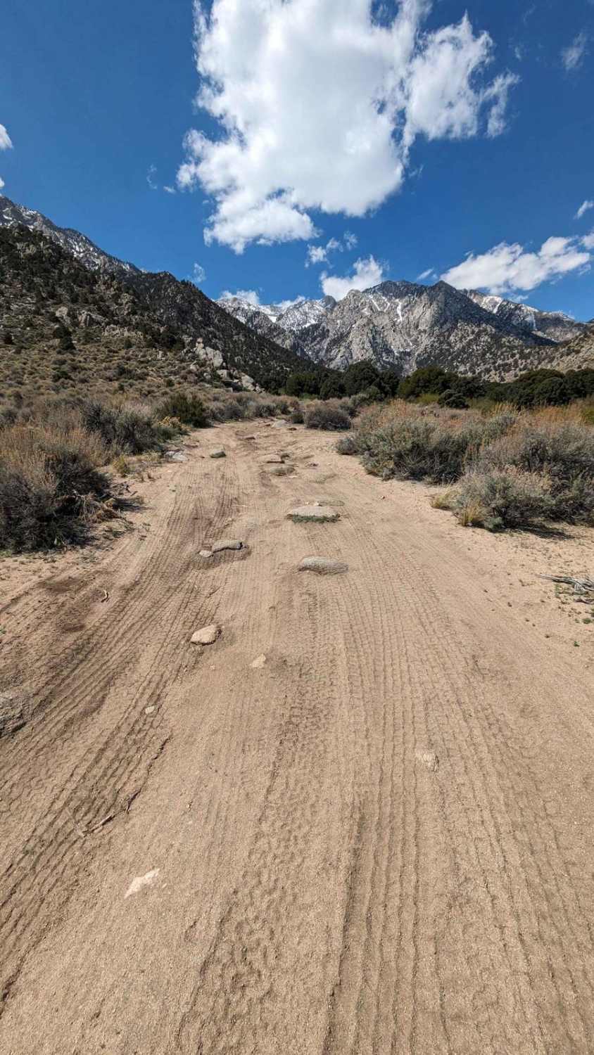
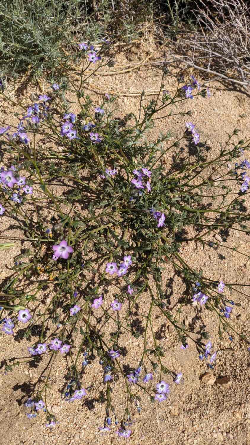
This out-and-back trail starts just off Horseshoe Meadows Road. It is a sandy trail with various rock garden obstacles. Heavy ruts are also found at various spots but can be bypassed with smart, cautious driving. It starts at just under 5,000 feet and rises over 1,000 feet. You are rewarded with stunning views of the Alabama Hills rock formations, the surrounding mountains, Lone Pine, and the Owen Valley and Lake below. Spring can also bring beautiful wildflowers. This trail is more challenging than the South Fork trail. High-clearance 4x4 is recommended.
Photos of North Fork Lubken Creek Canyon
Difficulty
This is a primarily sandy trail with various rock sections. There are a least two heavily rutted sections and off-camber sections as you rise up the canyon.
North Fork Lubken Creek Canyon can be accessed by the following ride types:
- High-Clearance 4x4
- SUV
- Dirt Bike
North Fork Lubken Creek Canyon Map
Popular Trails
Trona Pinnacles Scenic Loop East (Easy)
Janesville Singletrack
Quatal Canyon
Hot Creek Crossover
The onX Offroad Difference
onX Offroad combines trail photos, descriptions, difficulty ratings, width restrictions, seasonality, and more in a user-friendly interface. Available on all devices, with offline access and full compatibility with CarPlay and Android Auto. Discover what you’re missing today!