Trail Overview
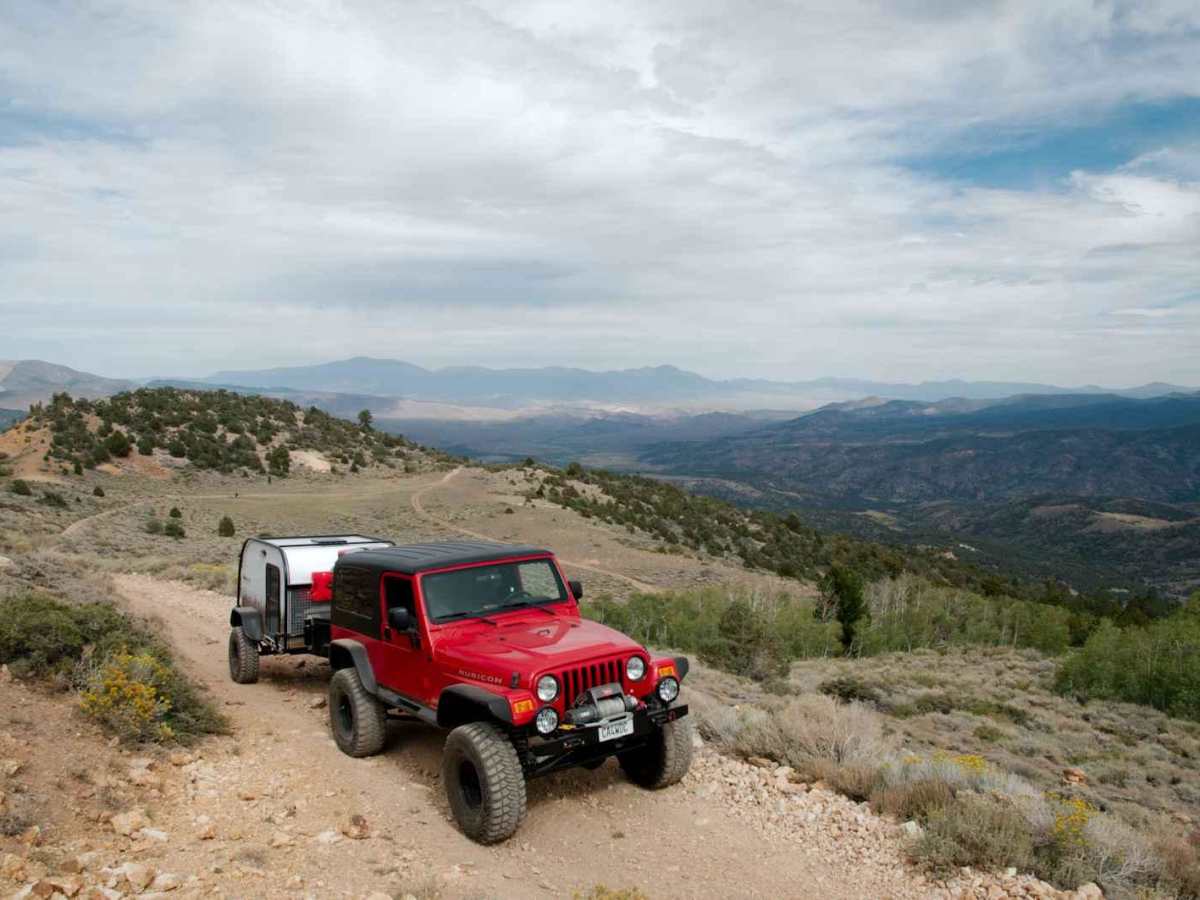
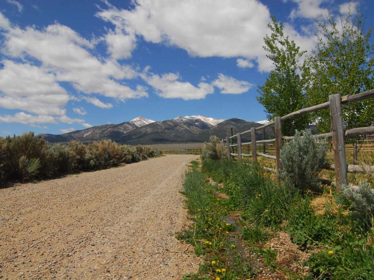
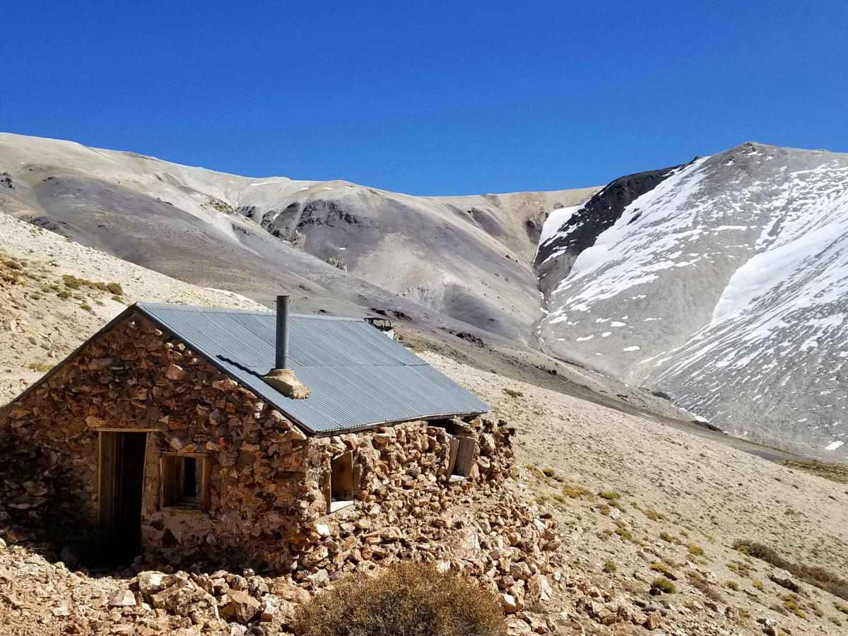
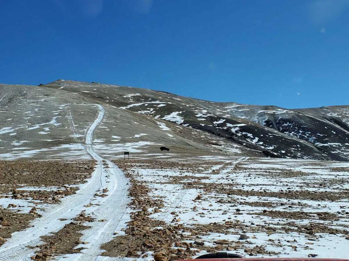
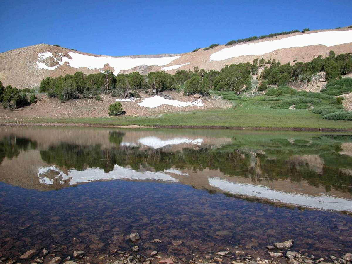
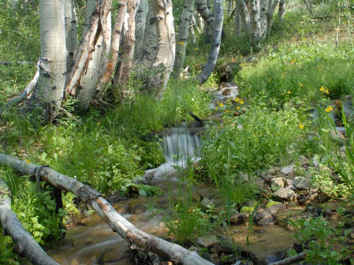
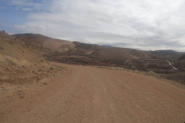
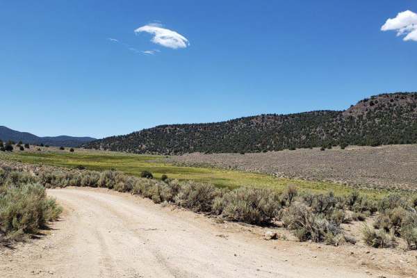
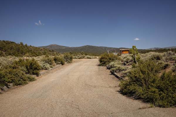
Mount Patterson is reached on the Nevada side using Star City Road, USFS road 32198 (Old Stage Road on some maps). The route starts at the Sweetwater Land & Cattle Co. Ranch on State Route 338 in the Sweetwater Valley, on Achiton Road (which turns into Star City Rd.). Always go slow and respectful by the Sweetwater Ranch, as it's always dusty. A staging area is past the ranch by the first gate at the Silverado Canyon intersection. Always leave gates as you find them. You leave the ranch cattle land and begin to climb through juniper trees and pinion pines, then on to areas of aspen stands and Western White Pine at higher elevations. You will reach the ghost town mining camp of Belfort at 10,300 elevation, which has a few structures to explore. Continue up the trail from there, and the trees begin to disappear due to the high elevation and are replaced at certain times of the year by slopes full of wildflowers, above that, you soon find yourself in a moonscape-like area with very little obvious plant life. What flowers do grow in the high alpine landscape are very small, hardy, and adapted to short growing seasons and strong winds. The area is nick-named "Mars with Flowers." Once on the summit, it can be very windy, but you are rewarded with a wonderful 360-degree view. This entire route is in the Toiyabe National Forest within the Basin and Range Physiographic Province, characterized by isolated mountain ranges (like the Sweetwaters) and broad, flat basins. The Sweetwater Mountains are a stand-alone range running from Bridgeport, California, to Smith Valley, Nevada.
Difficulty
This hard-surfaced dirt route has rock-cobble sections but is passable by 4x4 vehicles (high clearance recommended). This is a summer/fall route and is not passable in winter due to extremely high snowpack and dangerous driving conditions. Street legal and OHV (SxS) vehicles are permitted on this combined-use road/trail system. Elevation changes range from 6,185 feet at Sweetwater Ranch to 11,642 feet at Mount Patterson Peak. This can be a one-way or backtrack route from Sweetwater Ranch through Belfort ghost town to Mt. Patterson and down the back (west) side past Lobdell Lake to Burcham Flat Road and onto Highway 395.
History
Indigenous Presence: The area has been inhabited for thousands of years by the Washoe people, who utilized the region for hunting, fishing, and gathering plants.Mining Era: In the late 19th century, the Sweetwater Mountains saw extensive mining activity, particularly for gold and silver. Ghost towns like Belfort remain as relics of this era.GeologyThe Sweetwater Mountains are primarily composed of volcanic rock, with rhyolite and andesite formations dating back to the Tertiary period. Evidence of glacial activity is present in the higher elevations, with U-shaped valleys and moraines. Active geothermal springs, such as those near Fales Hot Springs, highlight ongoing tectonic and volcanic processes in the region. The range's highest peak, Mount Patterson (11,673 feet), offers expansive views of surrounding basins and ranges.EcologyThe Sweetwater Mountains lie at the intersection of the Sierra Nevada and Great Basin ecological zones, creating a diverse environment.FloraLower Elevations: Sagebrush steppe dominates, with species like big sagebrush (Artemisia tridentata), bitterbrush (Purshia tridentata), and rabbitbrush (Ericameria spp.).Mid-Elevations: Juniper woodlands and pinyon pine (Pinus monophylla) forests thrive, often mixed with mountain mahogany (Cercocarpus ledifolius). Higher Elevations: Subalpine and alpine zones feature whitebark pine (Pinus albicaulis), limber pine (Pinus flexilis), and a variety of hardy wildflowers like lupine, paintbrush, and phlox.FaunaMammals: Mule deer, black bears, mountain lions, and smaller mammals like marmots and pikas inhabit the area.Birds: Raptors such as golden eagles and red-tailed hawks are common, along with songbirds like mountain bluebirds and Clark's nutcrackers. Reptiles and Amphibians: Sagebrush lizards and rubber boas can be found in lower and mid-elevations. Aquatic Life: The streams and creeks host native trout and various aquatic invertebrates.