Moore Pilot Ridge - FS 2S14
Total Miles
6.7
Technical Rating
Best Time
Summer, Spring, Fall
Trail Type
Full-Width Road
Accessible By
Trail Overview
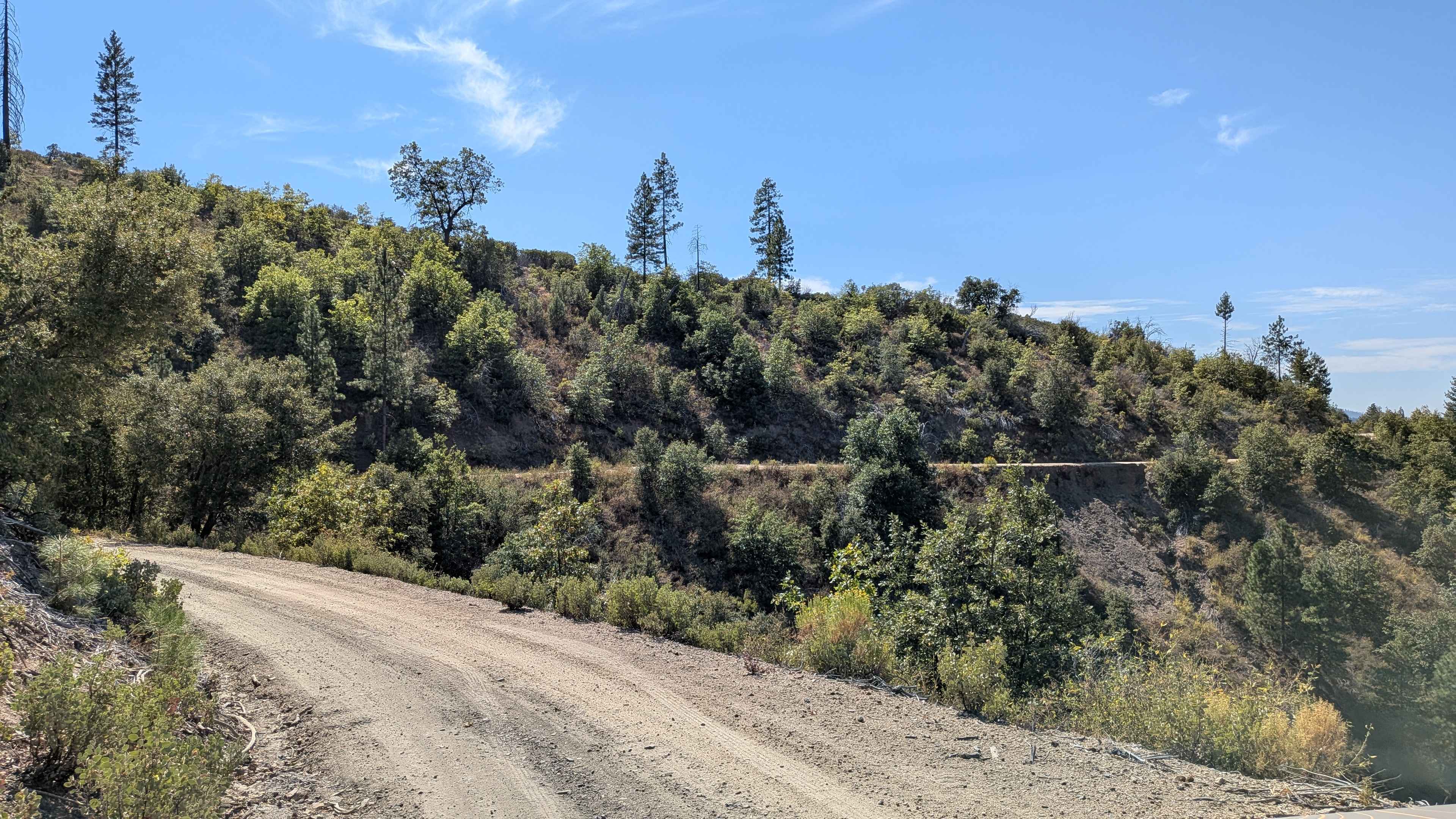
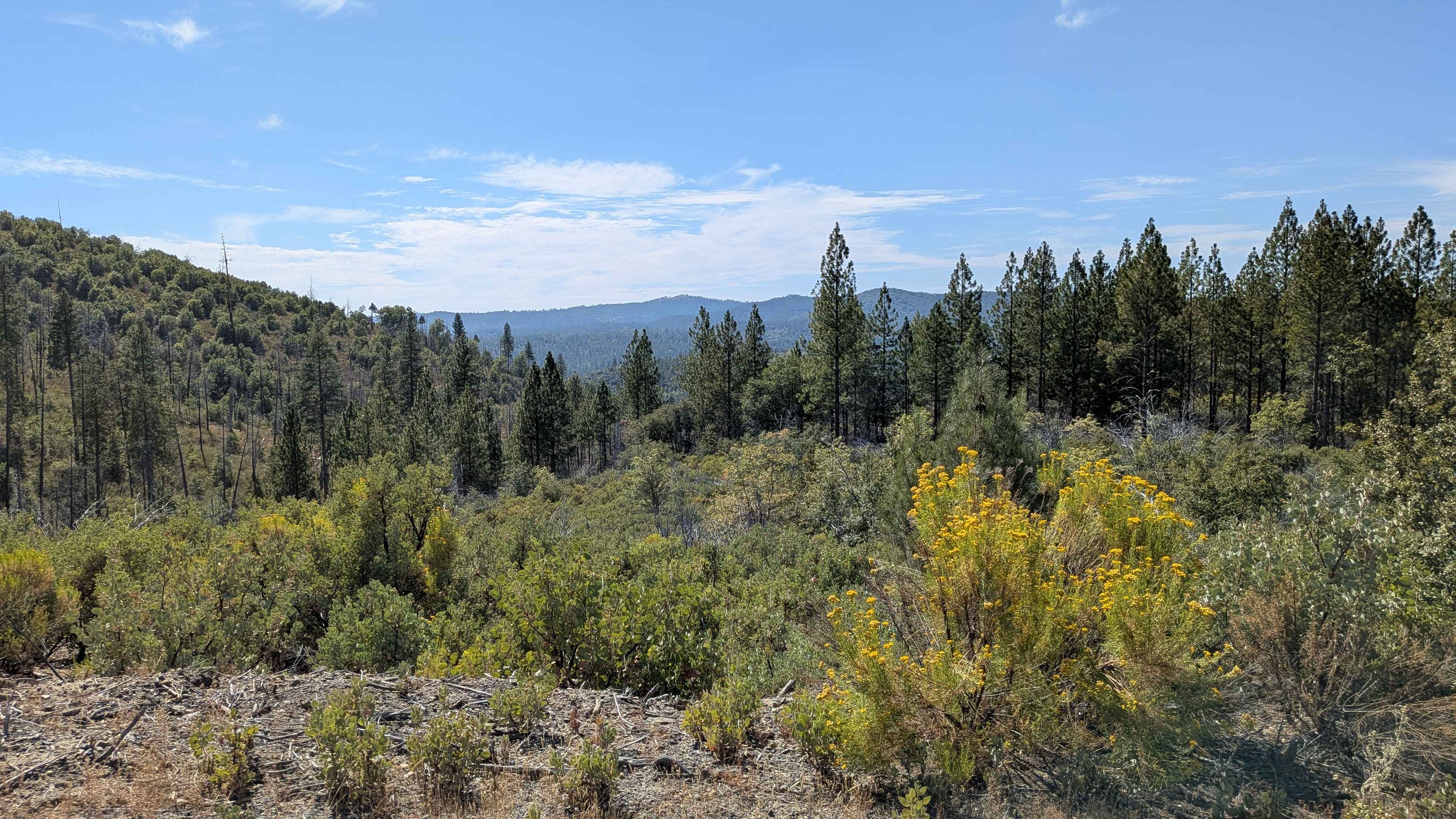
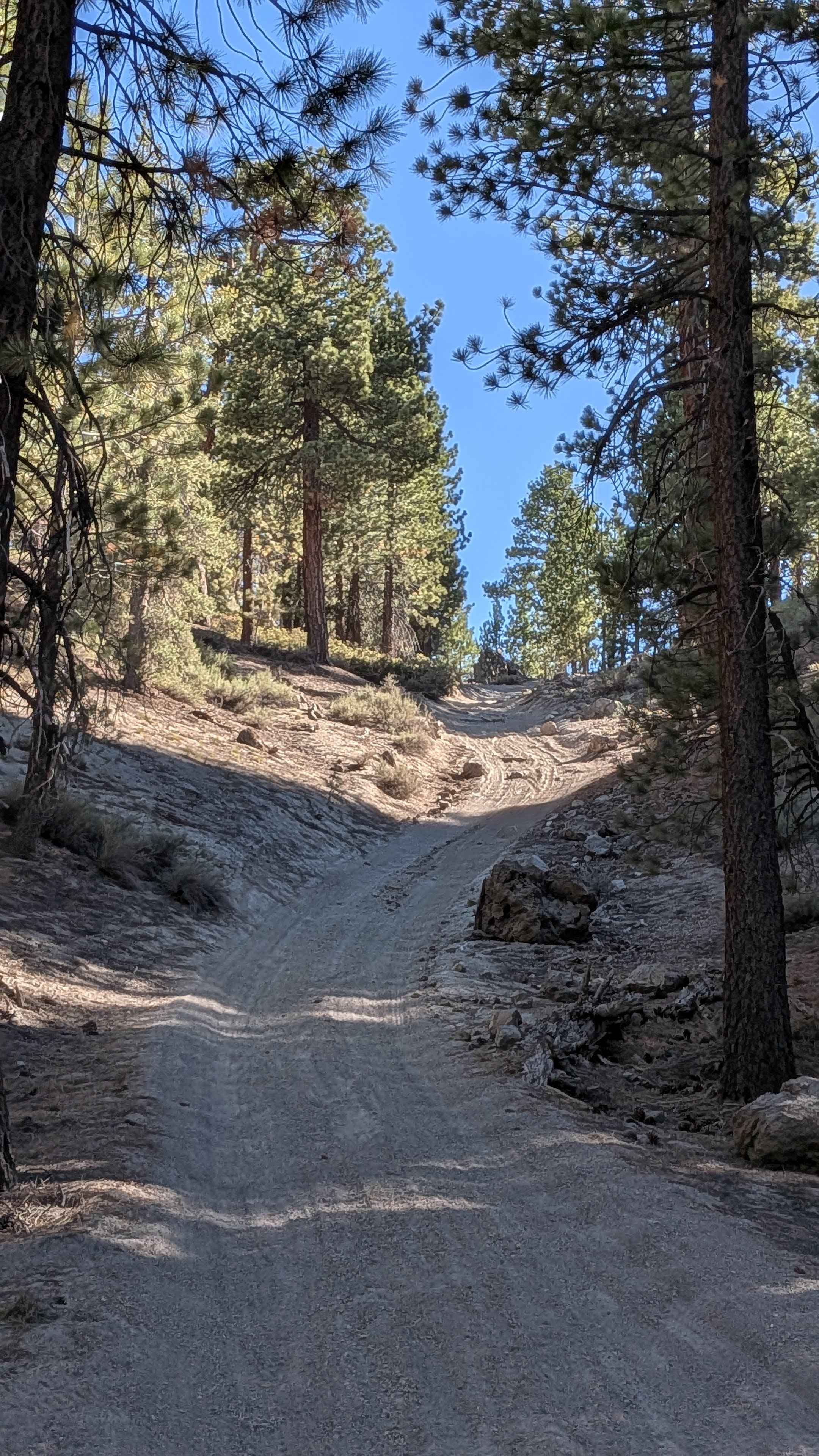
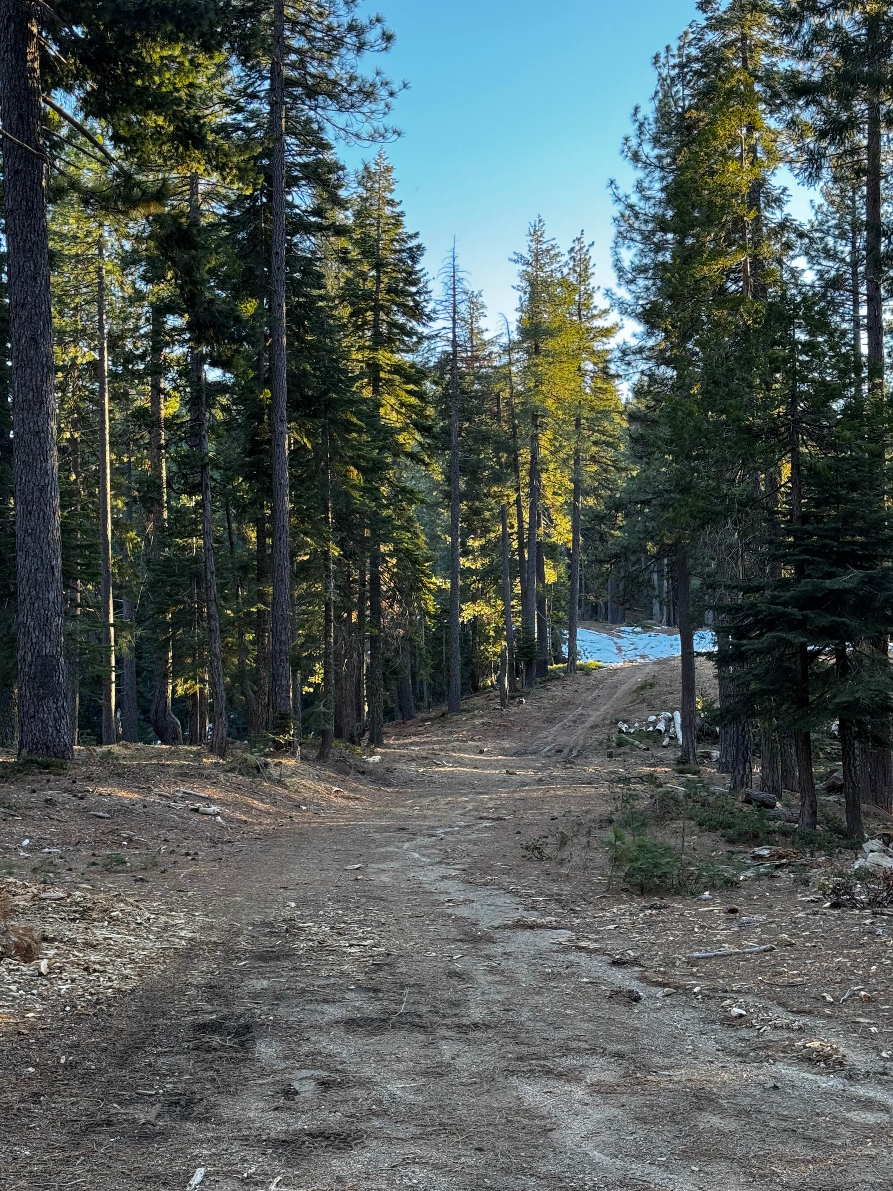
This trail begins at Buck Meadows Road and ends at the Pilot Ridge Road and Forest Service Road 2S33 junction, climbing over 1,300 feet and dropping almost 600 feet across just under 7 miles of varied terrain. The hard-packed dirt and sand surface maintains one and a half to two vehicles in width, following a shelf road configuration on one side with a shallow drainage ditch on the other. At various points along the route, the trail ventures deeper into forest areas where it becomes covered with a natural canopy of trees while maintaining the shelf road configuration with canyon exposure below. Lined with brush and trees throughout its length, the route provides natural corridors and diverse vegetation. The trail offers excellent views of the surrounding forest, valleys, and hills throughout the area, taking advantage of the elevated shelf road positioning to showcase the scenic landscape. Very dusty conditions persist throughout the journey, particularly during dry periods and when following other vehicles, requiring consideration for visibility and respiratory comfort during travel.
Photos of Moore Pilot Ridge - FS 2S14
Difficulty
This trail receives a difficulty rating of 2, indicating easy conditions suitable for most vehicles with adequate ground clearance. The shelf road configuration with canyon exposure, hard-packed dirt and sand surface, shallow drainage ditch alongside the route, and very dusty conditions creates manageable challenges that require basic attention but remain accessible to drivers with limited off-road experience despite the easy rating classification.
Status Reports
Moore Pilot Ridge - FS 2S14 can be accessed by the following ride types:
- High-Clearance 4x4
- SUV
Moore Pilot Ridge - FS 2S14 Map
Popular Trails

Plimco Mine Road at Spade Way
Glass Spur A FS 2S23A
High Meadows Trail
The onX Offroad Difference
onX Offroad combines trail photos, descriptions, difficulty ratings, width restrictions, seasonality, and more in a user-friendly interface. Available on all devices, with offline access and full compatibility with CarPlay and Android Auto. Discover what you’re missing today!