Mount Hough
Total Miles
10.4
Technical Rating
Best Time
Spring, Fall
Trail Type
Single Track
Accessible By
Trail Overview
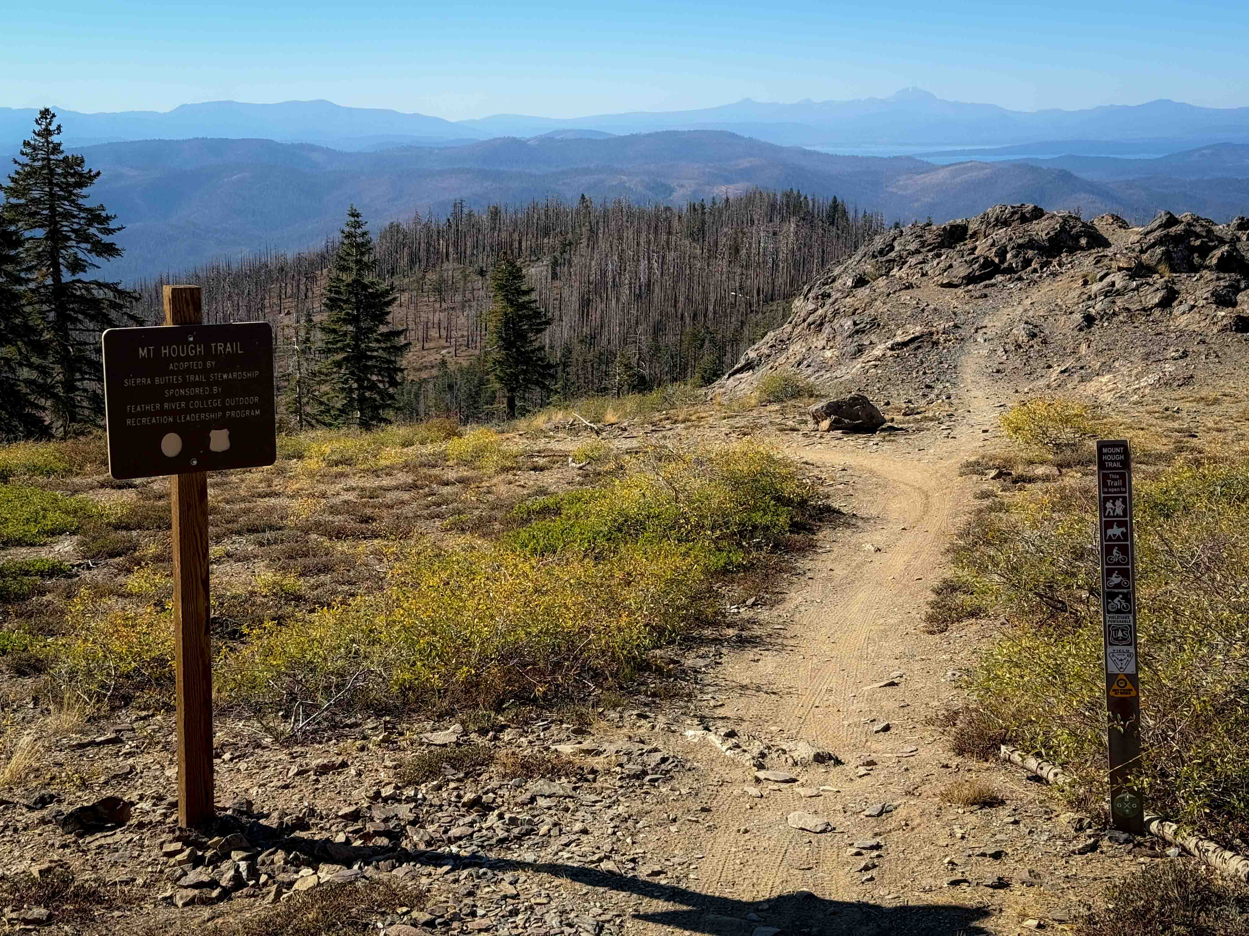
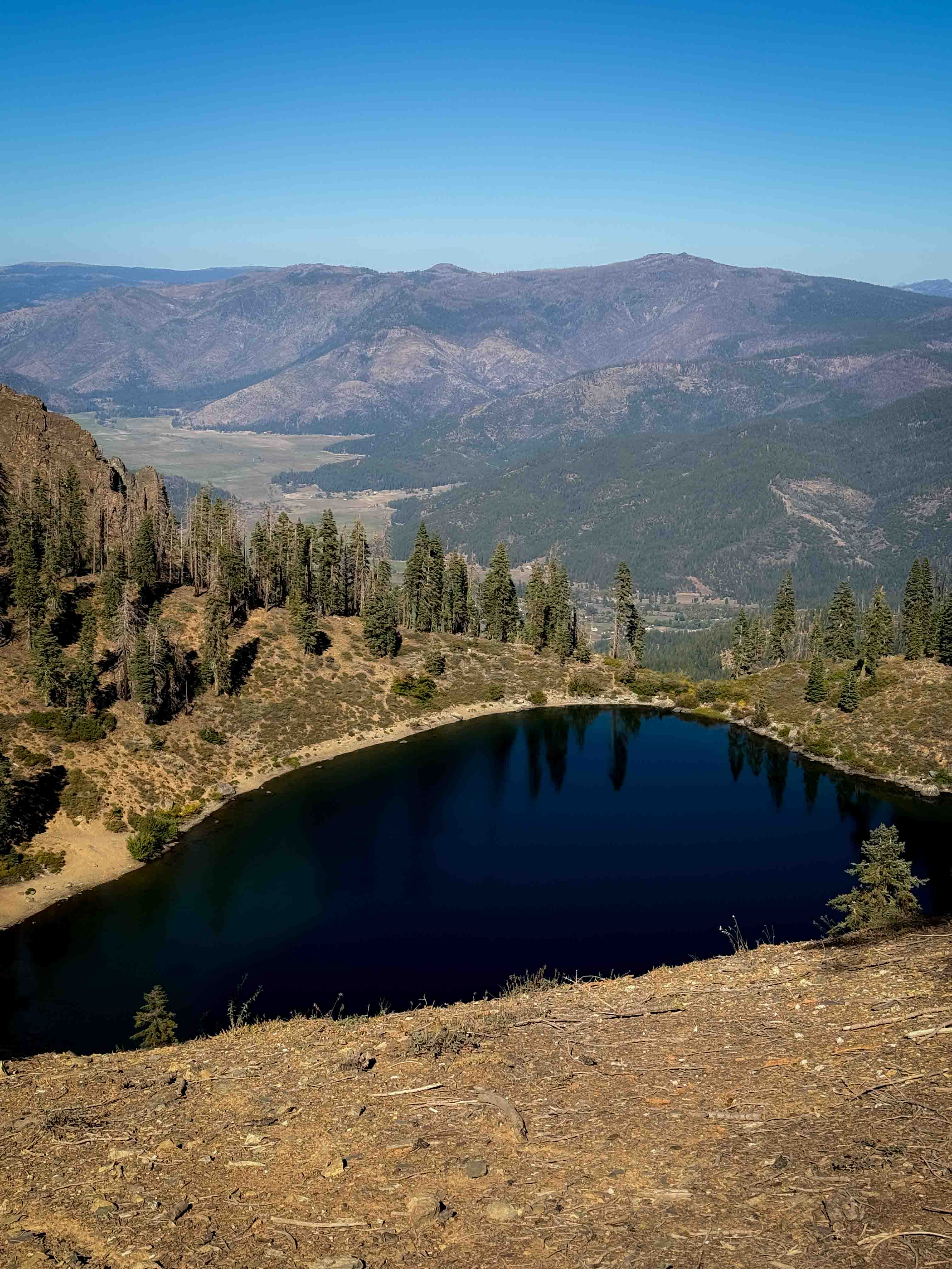
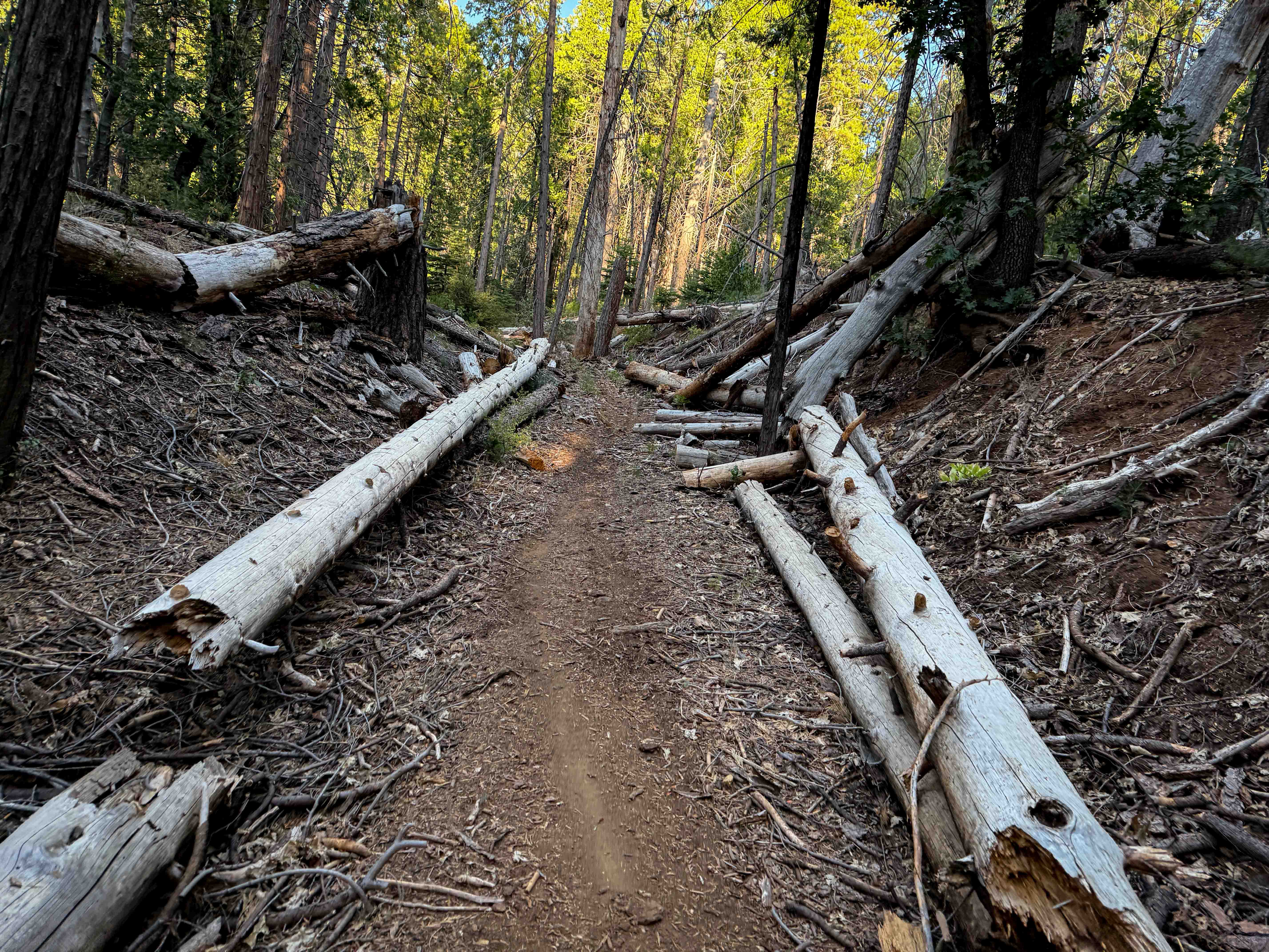
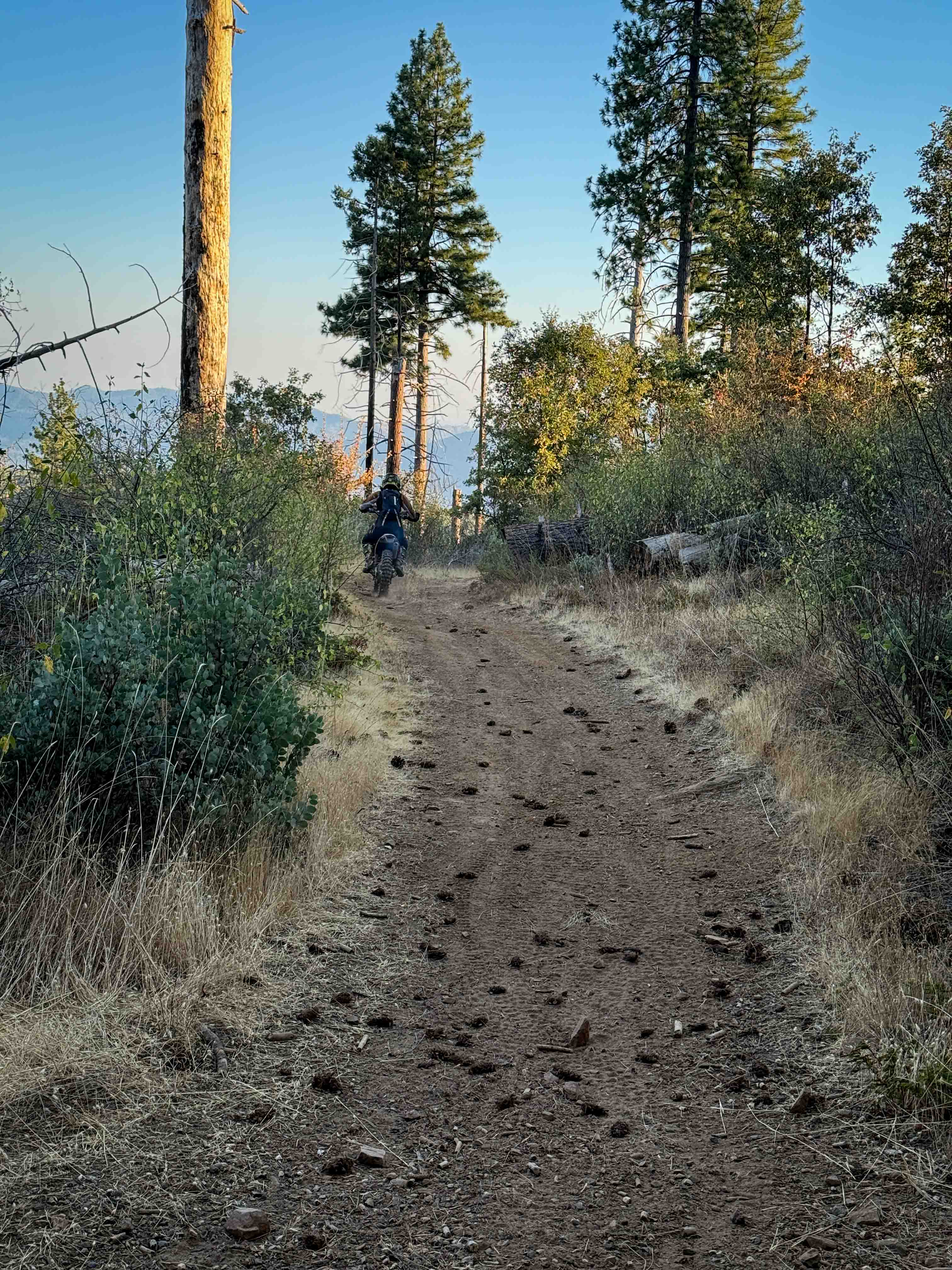
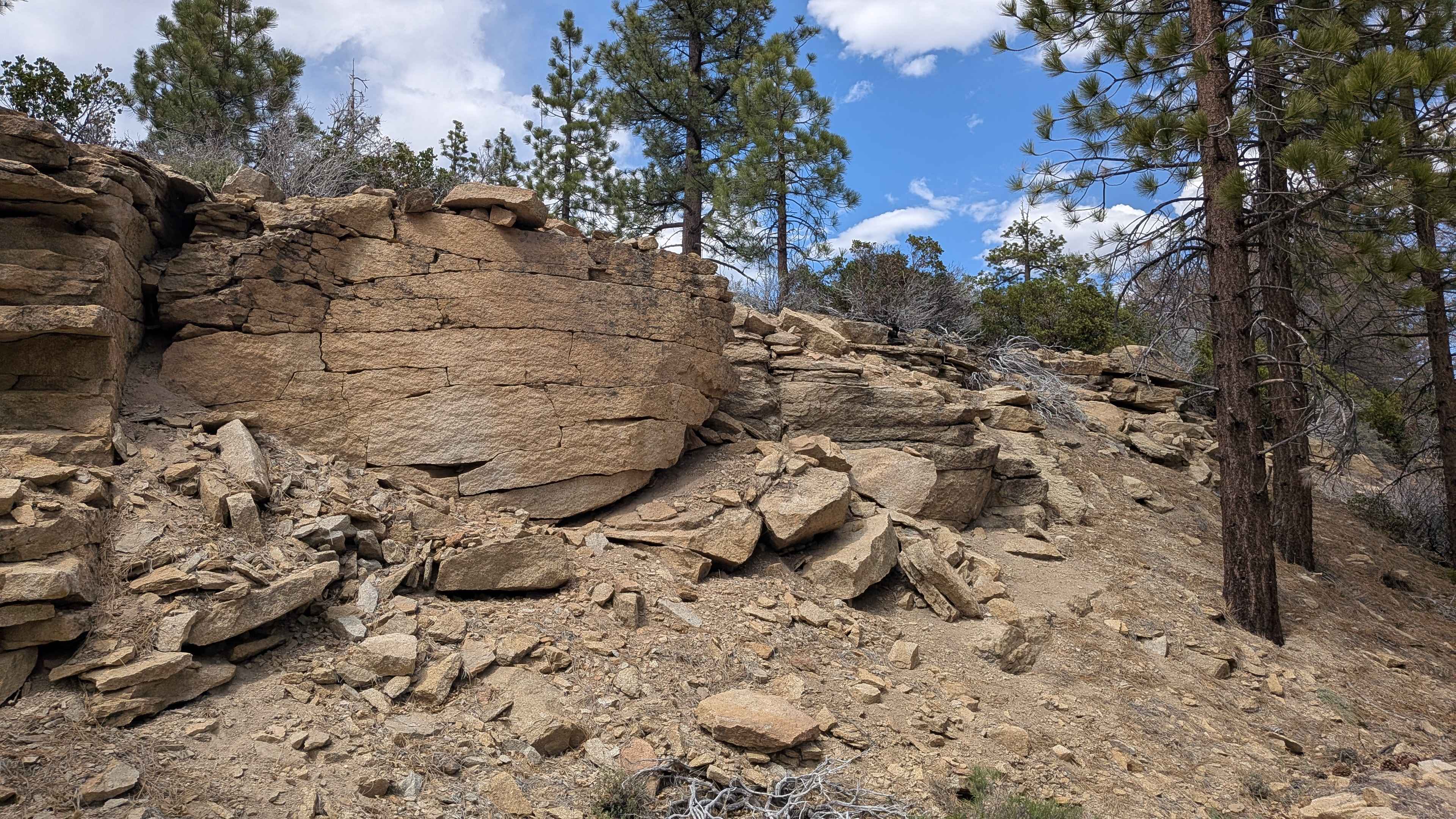
Mount Hough is the longest trail in the trail system, at 11 miles long, and is popular with downhill mountain bikers as it is a fun and flowy descent, dropping almost 4,000 feet in elevation gain from north to south. It's a pretty gradual descent, with big banked corners, wide switchbacks, and mild exposure. The entrance on the north end is very scenic as it overlooks Crystal Lake below the Mount Hough Fire Tower and goes past some scenic rock outcroppings. There are multiple bailouts along the way to exit to Road 403, Tollgate Road (25N73), or Hough Road (25N14) if you don't want to ride the whole trail. The northern half of this trail is the easiest, being the most gradual and flowy. It has some tighter turns on the southern half of the trail and more shelf exposure. Most of the trail is very smooth dirt, but there are a few embedded rocks here and there that add some texture, but no major obstacles. This trail is highly maintained and will likely not have any logs.
Photos of Mount Hough
Difficulty
Although 11 miles long, this is a relatively easy trail that is ideal for riders with basic skill levels. Expect minor sections of embedded rock, easy switchbacks and mild exposure.
Status Reports
Mount Hough can be accessed by the following ride types:
- Dirt Bike
Mount Hough Map
Popular Trails
Cow Heaven Canyon Road BLM SC51
Church - FS 24S32
The onX Offroad Difference
onX Offroad combines trail photos, descriptions, difficulty ratings, width restrictions, seasonality, and more in a user-friendly interface. Available on all devices, with offline access and full compatibility with CarPlay and Android Auto. Discover what you’re missing today!