Off-Road Trails in Oregon
Discover off-road trails in Oregon
Learn more about Lucky Butte Lakes
Lucky Butte Lakes
Total Miles
22.5
Tech Rating
Easy
Best Time
Summer, Spring, Fall
Learn more about Maddogs Pumpkin Patch #38 (Difficult)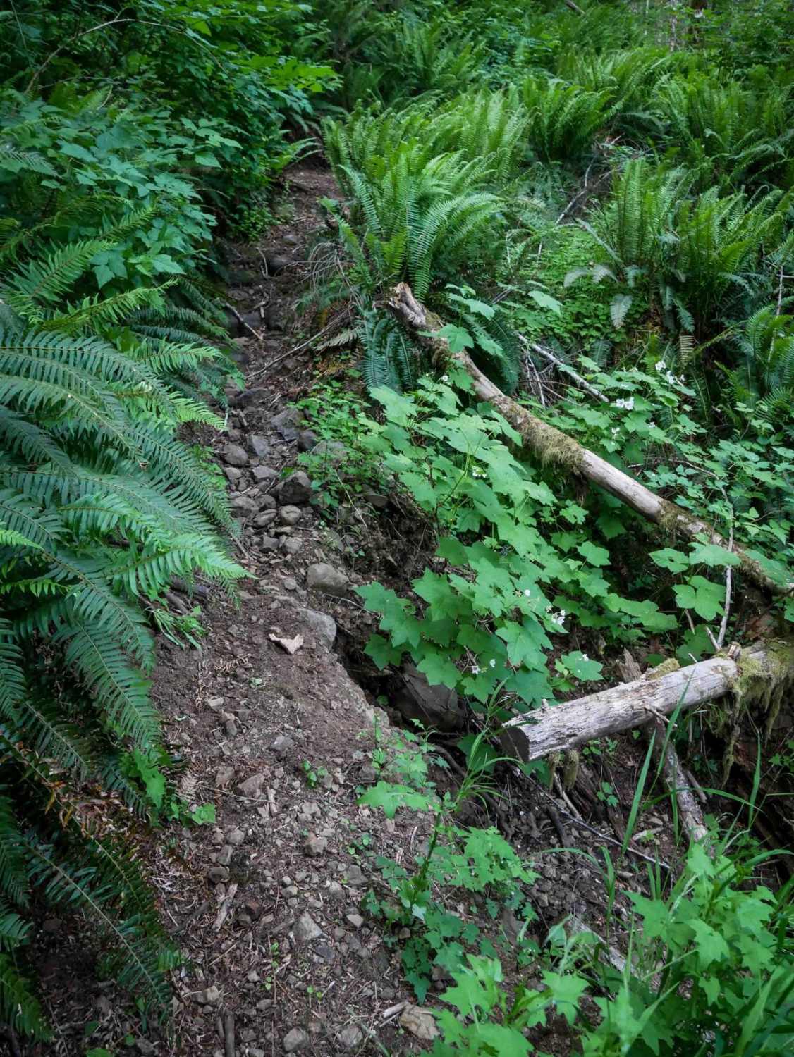
Maddogs Pumpkin Patch #38 (Difficult)
Total Miles
1.2
Tech Rating
Difficult
Best Time
Spring, Fall
Learn more about Maddogs Pumpkin Patch #38 (Extreme) 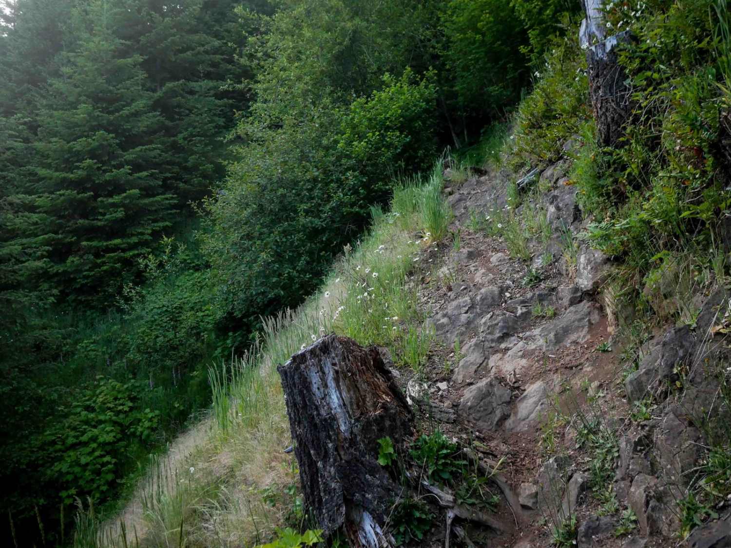
Maddogs Pumpkin Patch #38 (Extreme)
Total Miles
2.7
Tech Rating
Extreme
Best Time
Spring, Fall
Learn more about Madison Butte Lookout - FS 2119033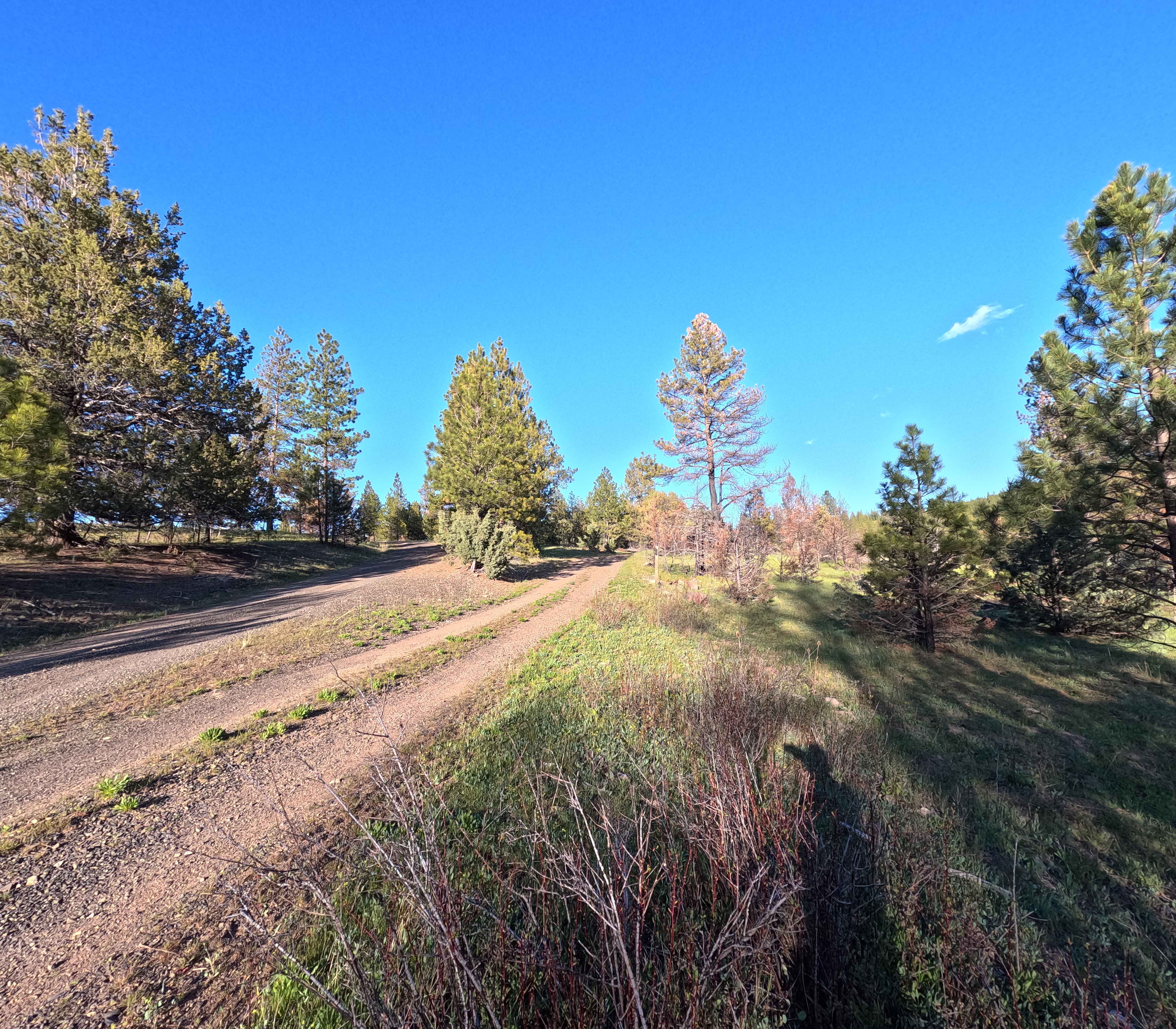
Madison Butte Lookout - FS 2119033
Total Miles
4.5
Tech Rating
Easy
Best Time
Spring, Summer
Learn more about Mahan Reservoir Quail Creek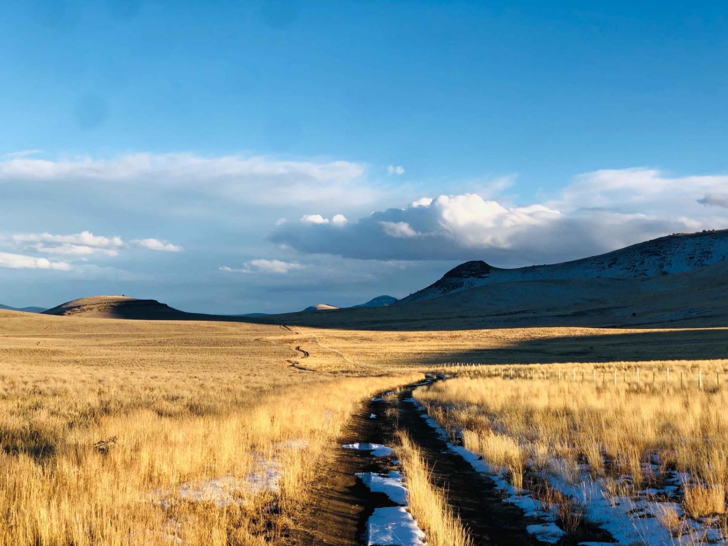
Mahan Reservoir Quail Creek
Total Miles
7.0
Tech Rating
Easy
Best Time
Spring, Summer, Fall
Learn more about Mahogany Gap Road
Mahogany Gap Road
Total Miles
18.8
Tech Rating
Easy
Best Time
Spring, Summer, Fall
Learn more about Malheur Ford
Malheur Ford
Total Miles
30.7
Tech Rating
Moderate
Best Time
Summer, Spring, Fall
Learn more about Mann Lake North Gate
Mann Lake North Gate
Total Miles
1.1
Tech Rating
Moderate
Best Time
Spring
Learn more about Marble Creek Pass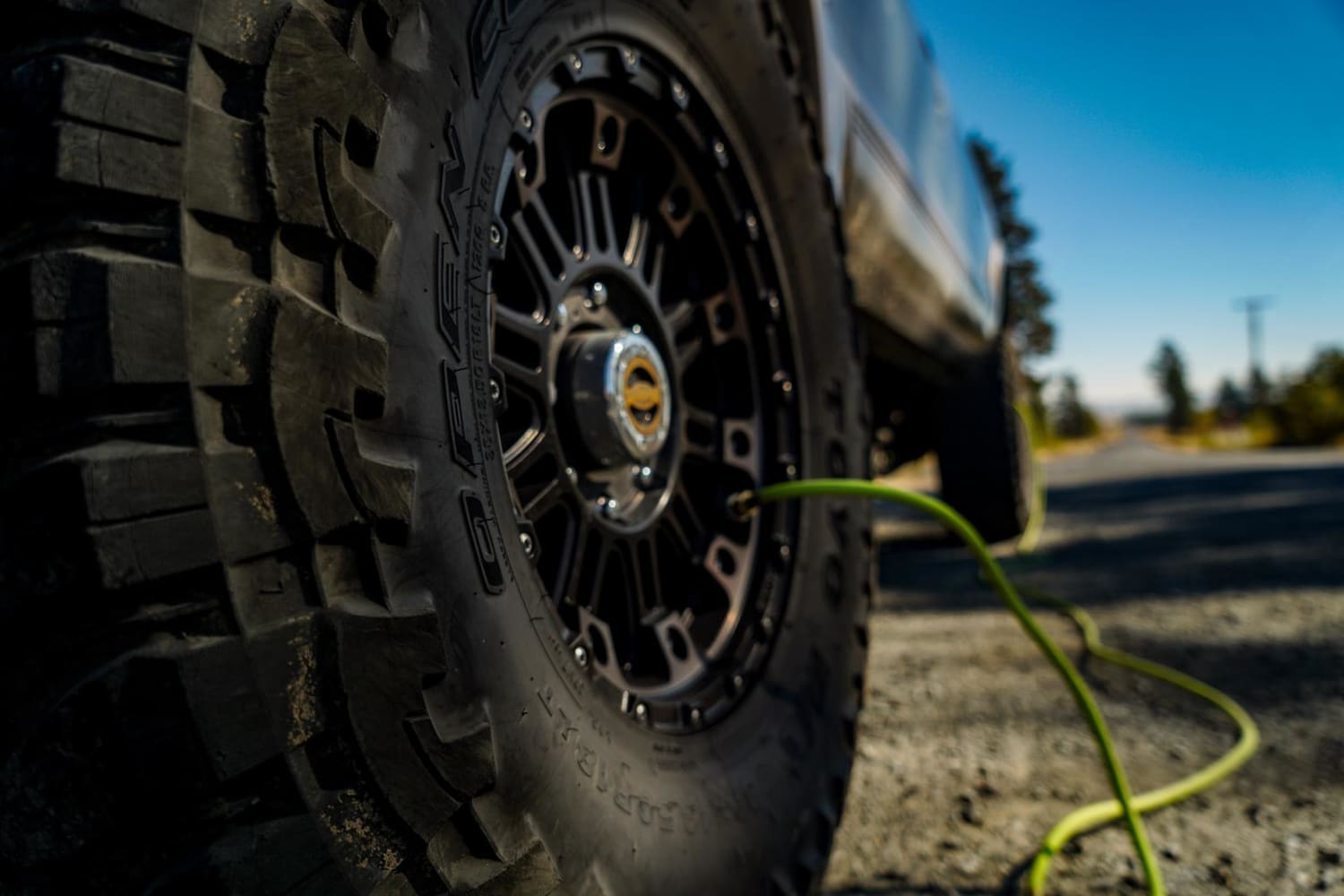
Marble Creek Pass
Total Miles
16.6
Tech Rating
Easy
Best Time
Spring, Summer
Learn more about Marble Creek Pass to Sumpter
Marble Creek Pass to Sumpter
Total Miles
7.8
Tech Rating
Easy
Best Time
Spring, Summer, Fall

Learn more about Mary's Peak to Harlan
Mary's Peak to Harlan
Total Miles
7.7
Tech Rating
Easy
Best Time
Spring, Summer, Fall
Learn more about Maxamillion #00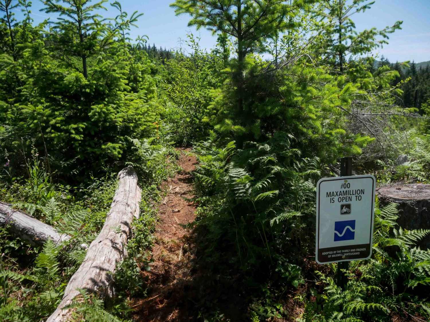
Maxamillion #00
Total Miles
0.8
Tech Rating
Moderate
Best Time
Spring, Fall
Learn more about McDonald's Crossing
McDonald's Crossing
Total Miles
1.6
Tech Rating
Easy
Best Time
Spring, Summer, Fall
Learn more about McGee Creek Overlook
McGee Creek Overlook
Total Miles
2.1
Tech Rating
Easy
Best Time
Summer, Fall
Learn more about McGraw Lookout Point
McGraw Lookout Point
Total Miles
0.8
Tech Rating
Easy
Best Time
Summer, Fall, Spring
Learn more about McGregor Road
McGregor Road
Total Miles
6.6
Tech Rating
Easy
Best Time
Spring, Summer, Fall, Winter
Learn more about McKay Crossing 2120
McKay Crossing 2120
Total Miles
2.2
Tech Rating
Easy
Best Time
Spring, Summer, Fall, Winter
ATV trails in Oregon


UTV/side-by-side trails in Oregon
Learn more about 10 Mile OHV Trail
10 Mile OHV Trail
Total Miles
1.6
Tech Rating
Easy
Best Time
Spring, Summer, Fall


The onX Offroad Difference
onX Offroad combines trail photos, descriptions, difficulty ratings, width restrictions, seasonality, and more in a user-friendly interface. Available on all devices, with offline access and full compatibility with CarPlay and Android Auto. Discover what you’re missing today!