Off-Road Trails in Oregon
Discover off-road trails in Oregon
Learn more about Music Road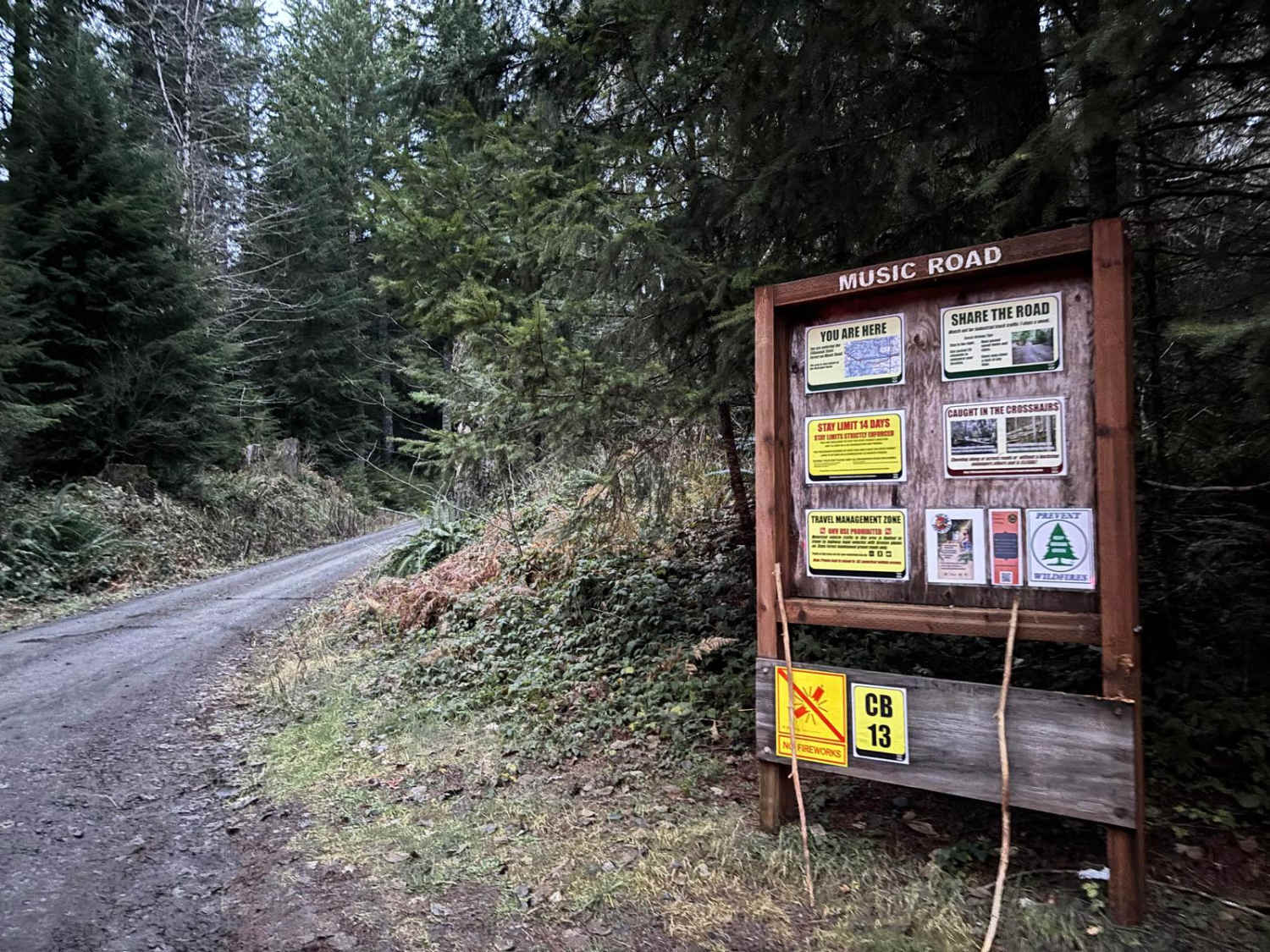
Music Road
Total Miles
3.9
Tech Rating
Easy
Best Time
Spring, Summer, Fall, Winter
Learn more about Mustang Tank Trail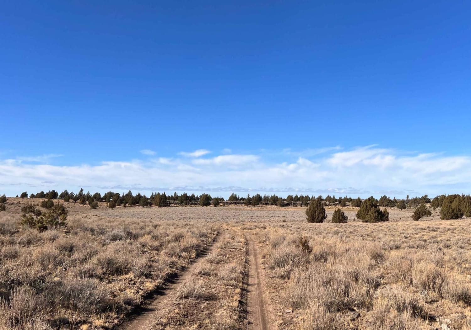
Mustang Tank Trail
Total Miles
4.1
Tech Rating
Easy
Best Time
Summer, Fall
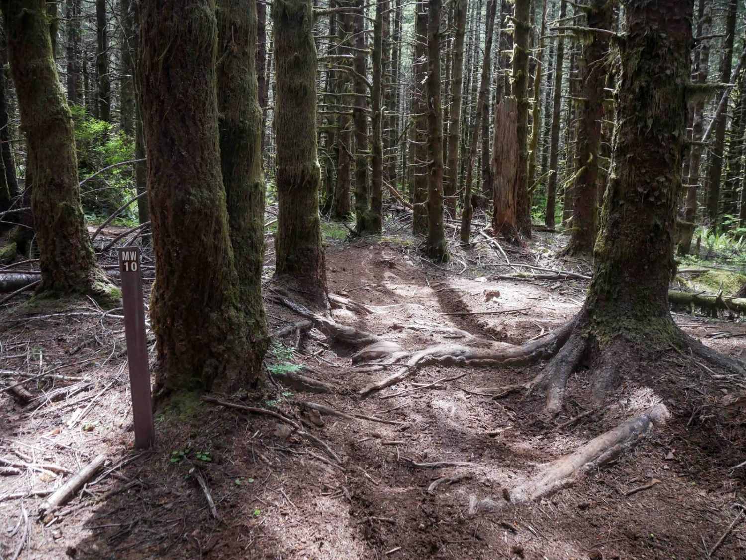
Learn more about Myrtle Park Ice Cave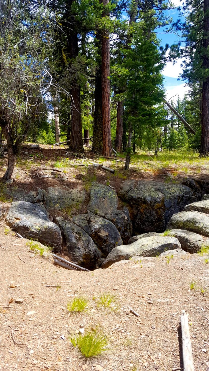
Myrtle Park Ice Cave
Total Miles
4.0
Tech Rating
Easy
Best Time
Spring, Summer, Fall
Learn more about National Forest Development Road 4610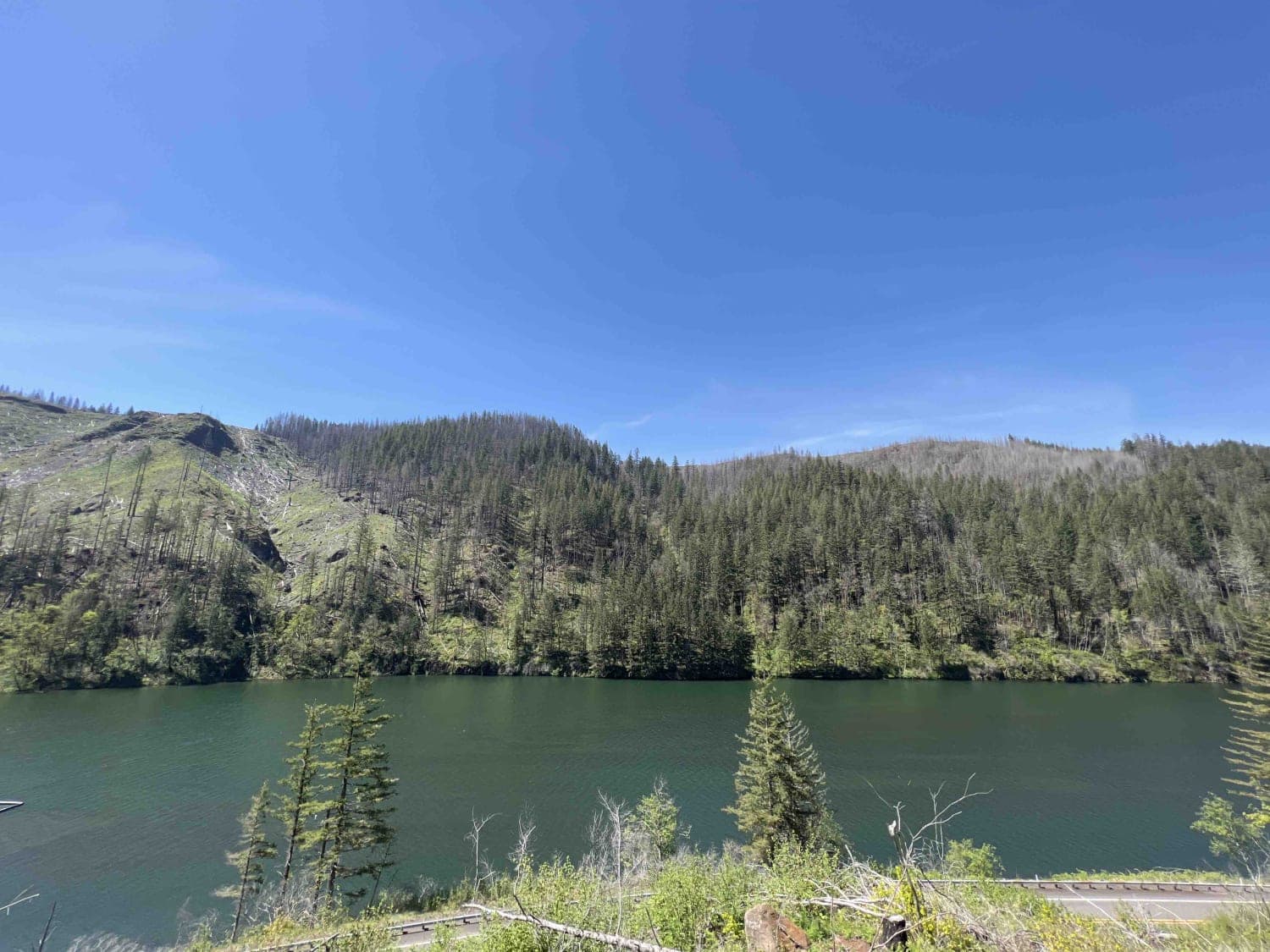
National Forest Development Road 4610
Total Miles
11.2
Tech Rating
Easy
Best Time
Spring, Summer, Fall, Winter
Learn more about National Forest Development Road 4660
National Forest Development Road 4660
Total Miles
3.5
Tech Rating
Easy
Best Time
Summer, Spring, Fall
Learn more about Newton Cabin Trail
Newton Cabin Trail
Total Miles
0.7
Tech Rating
Easy
Best Time
Summer, Fall


Learn more about NF3809 to NF3806
NF3809 to NF3806
Total Miles
8.5
Tech Rating
Easy
Best Time
Spring, Summer, Fall
Learn more about NFDR1675 Crane Creek CG
NFDR1675 Crane Creek CG
Total Miles
7.6
Tech Rating
Moderate
Best Time
Spring, Summer, Fall
ATV trails in Oregon


UTV/side-by-side trails in Oregon
Learn more about 10 Mile OHV Trail
10 Mile OHV Trail
Total Miles
1.6
Tech Rating
Easy
Best Time
Spring, Summer, Fall


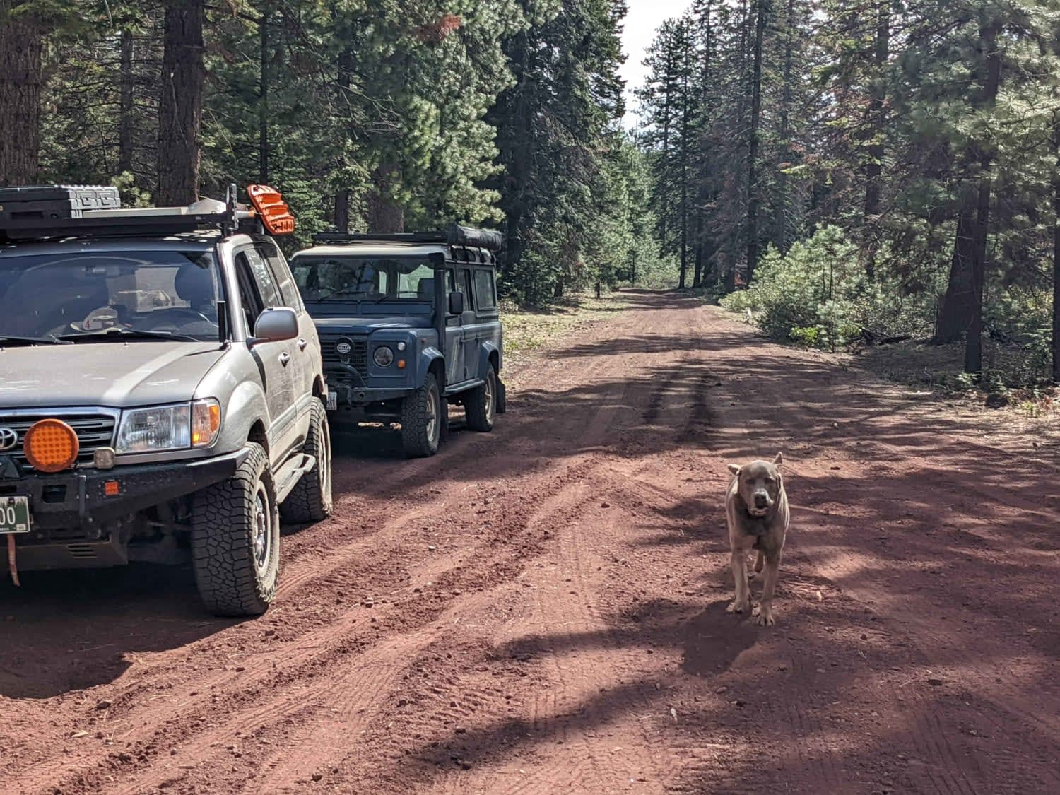
The onX Offroad Difference
onX Offroad combines trail photos, descriptions, difficulty ratings, width restrictions, seasonality, and more in a user-friendly interface. Available on all devices, with offline access and full compatibility with CarPlay and Android Auto. Discover what you’re missing today!