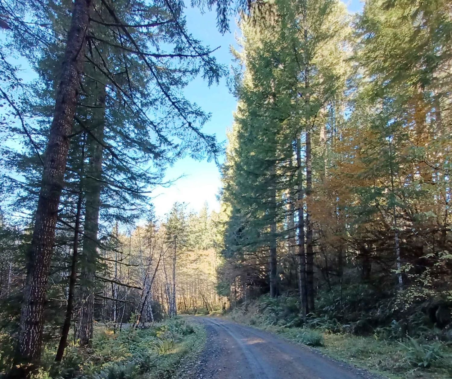
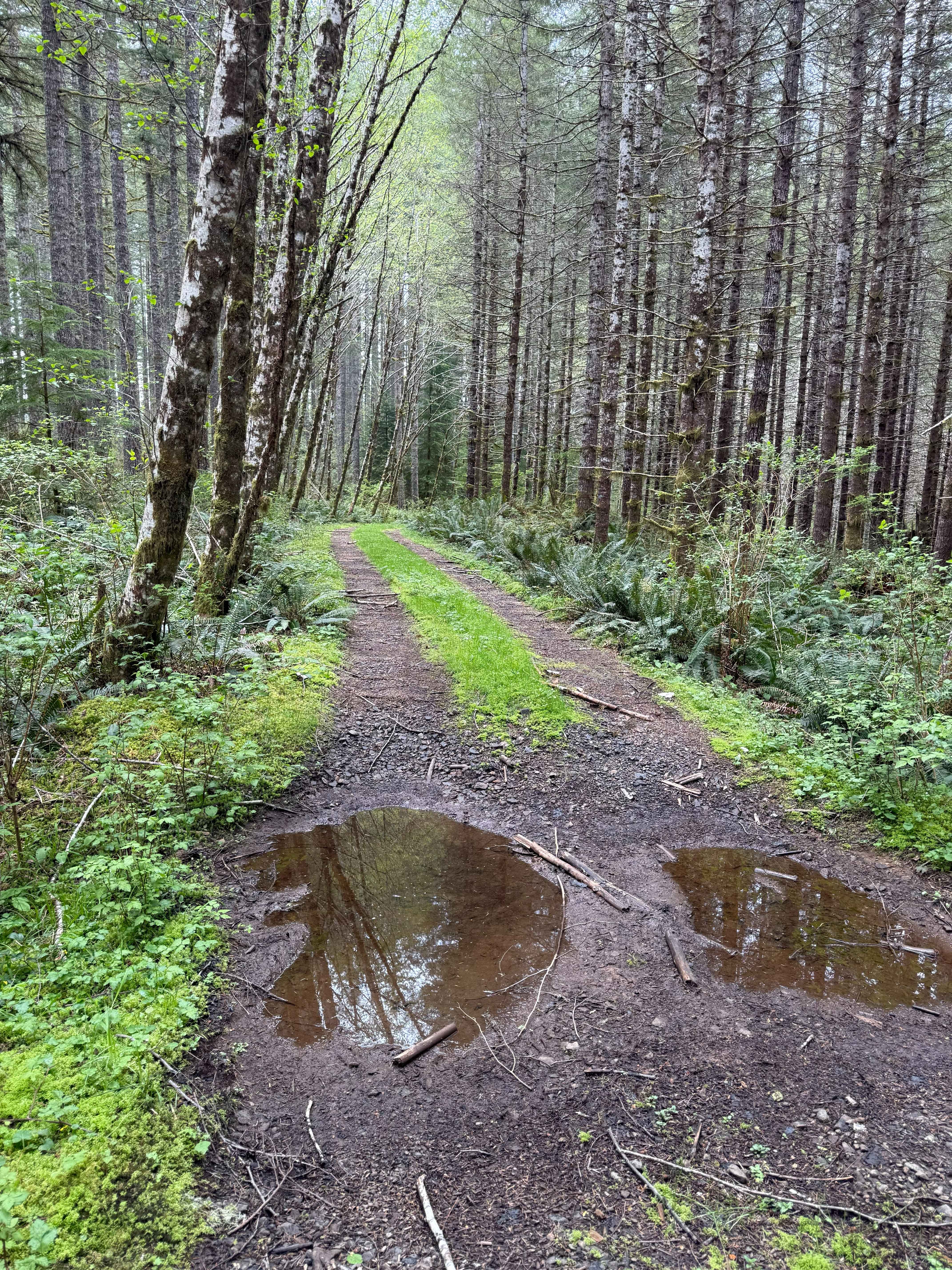
Off-Road Trails in Oregon
Discover off-road trails in Oregon
Learn more about Niagara 20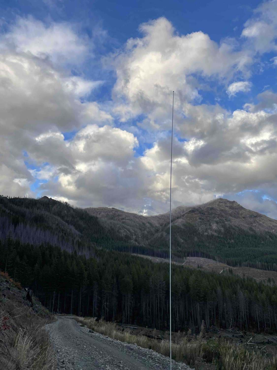
Niagara 20
Total Miles
2.1
Tech Rating
Easy
Best Time
Spring, Summer, Fall, Winter
Learn more about Niagara Road
Niagara Road
Total Miles
3.2
Tech Rating
Easy
Best Time
Spring, Summer, Fall, Winter
Learn more about Nicolai Mountain 4x4 Loop
Nicolai Mountain 4x4 Loop
Total Miles
8.4
Tech Rating
Easy
Best Time
Learn more about NoFo Road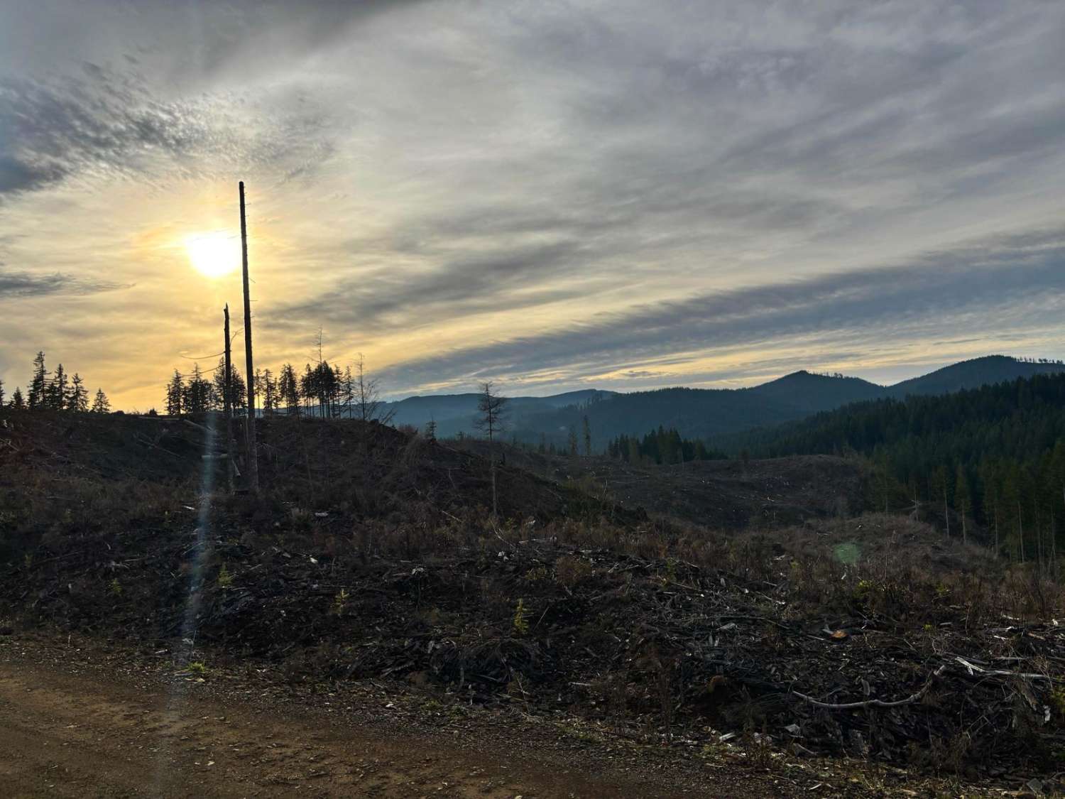
NoFo Road
Total Miles
3.3
Tech Rating
Easy
Best Time
Spring, Summer, Fall, Winter
Learn more about North Fork Trask River Road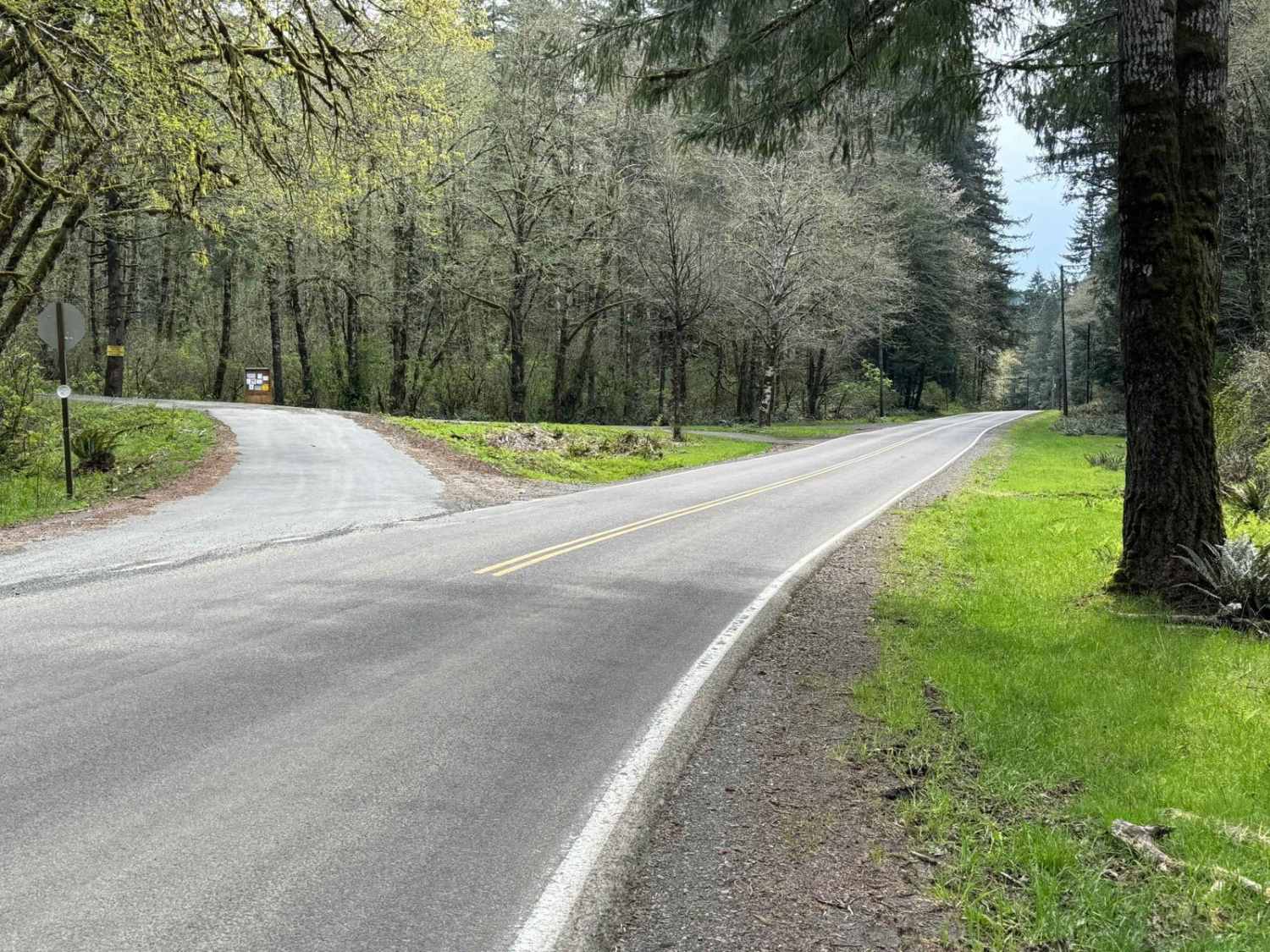
North Fork Trask River Road
Total Miles
3.5
Tech Rating
Easy
Best Time
Spring, Summer, Fall, Winter
Learn more about North Fork Wolf Creek Road
North Fork Wolf Creek Road
Total Miles
4.5
Tech Rating
Easy
Best Time
Spring, Summer, Fall, Winter
Learn more about North Indian Ford
North Indian Ford
Total Miles
6.5
Tech Rating
Easy
Best Time
Summer, Fall, Spring
Learn more about Northwest Bacona Road
Northwest Bacona Road
Total Miles
8.5
Tech Rating
Easy
Best Time
Spring, Summer, Fall, Winter
Learn more about Oak Grove/Timothy Lake
Oak Grove/Timothy Lake
Total Miles
15.0
Tech Rating
Easy
Best Time
Spring, Summer, Fall
Learn more about OHV Abbott Road Quarry
OHV Abbott Road Quarry
Total Miles
0.3
Tech Rating
Easy
Best Time
Spring, Summer, Fall, Winter

Learn more about Onion Mountain, Shan Creek
Onion Mountain, Shan Creek
Total Miles
8.7
Tech Rating
Easy
Best Time
Spring, Summer, Fall
Learn more about Oregan Eagle Mountain View
Oregan Eagle Mountain View
Total Miles
9.8
Tech Rating
Easy
Best Time
Spring, Summer, Fall
Learn more about Oregon Coast Trail To Sea Lion Caves
Oregon Coast Trail To Sea Lion Caves
Total Miles
22.1
Tech Rating
Easy
Best Time
Spring, Summer, Fall, Winter
Learn more about Oregon Redwoods Trail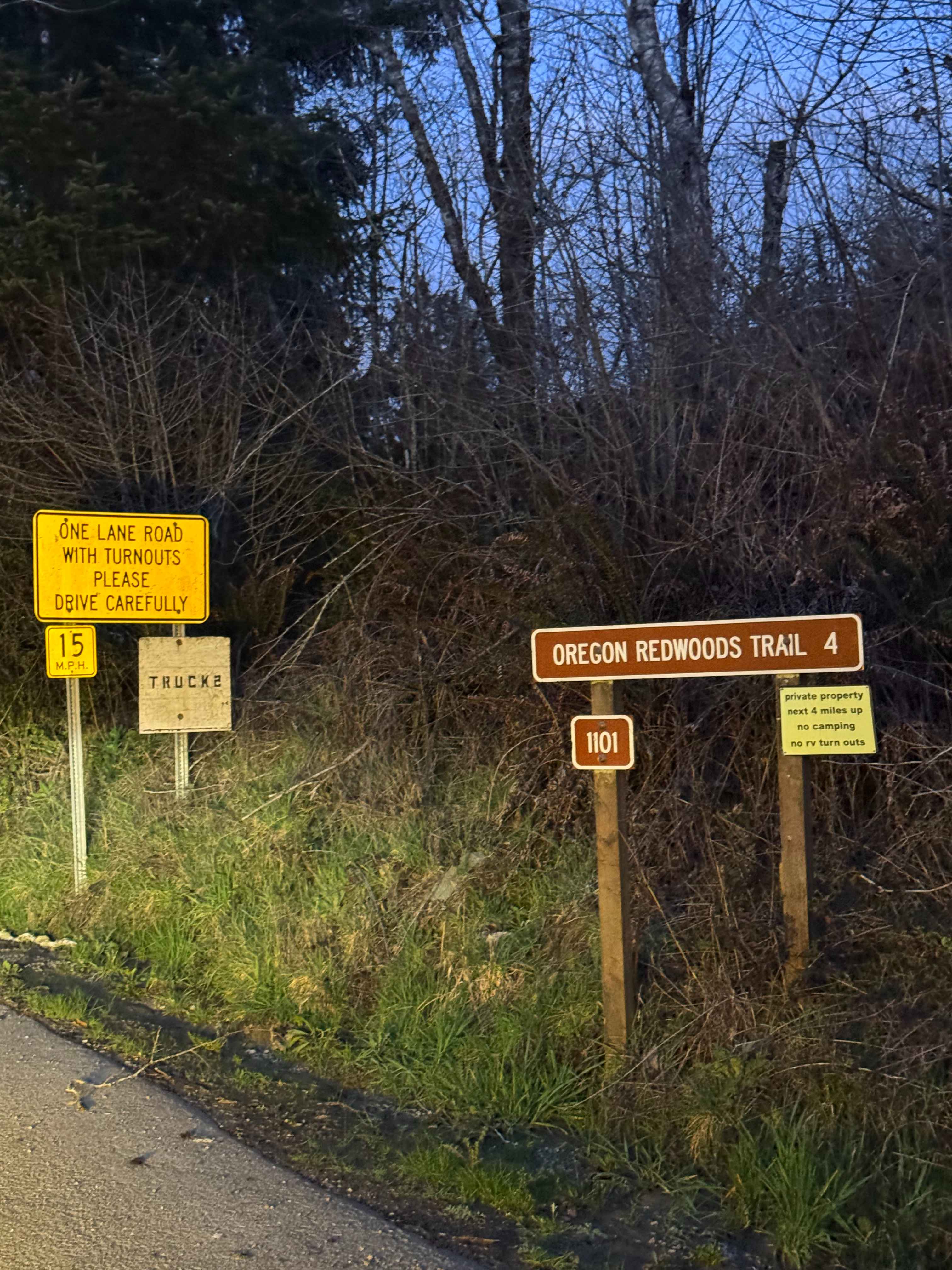
Oregon Redwoods Trail
Total Miles
4.1
Tech Rating
Easy
Best Time
Spring, Summer, Fall, Winter
Learn more about Oregon Trail Barlow - 3530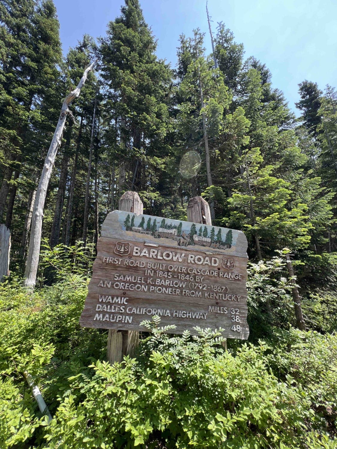
Oregon Trail Barlow - 3530
Total Miles
7.0
Tech Rating
Easy
Best Time
Summer, Fall
Learn more about Osterman Cabin Trail
Osterman Cabin Trail
Total Miles
4.9
Tech Rating
Easy
Best Time
Spring, Summer, Fall
Learn more about Osweg Creek Loop
Osweg Creek Loop
Total Miles
3.6
Tech Rating
Easy
Best Time
Spring, Summer, Fall, Winter
ATV trails in Oregon


UTV/side-by-side trails in Oregon
Learn more about 10 Mile OHV Trail
10 Mile OHV Trail
Total Miles
1.6
Tech Rating
Easy
Best Time
Spring, Summer, Fall


The onX Offroad Difference
onX Offroad combines trail photos, descriptions, difficulty ratings, width restrictions, seasonality, and more in a user-friendly interface. Available on all devices, with offline access and full compatibility with CarPlay and Android Auto. Discover what you’re missing today!