
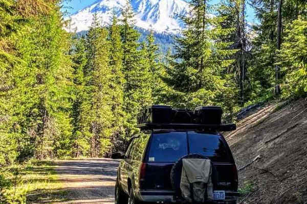
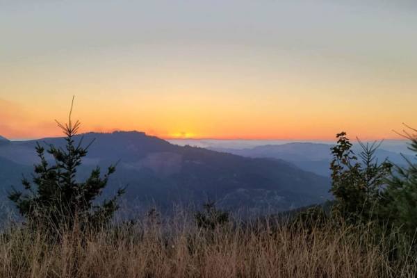
Off-Road Trails in Oregon
Discover off-road trails in Oregon
Off-Road Trails in Oregon
Discover the best off-road trails in Oregon. Browse trail maps, check difficulty ratings, and find your next adventure — whether you're looking for a quick ride or an all-day expedition.

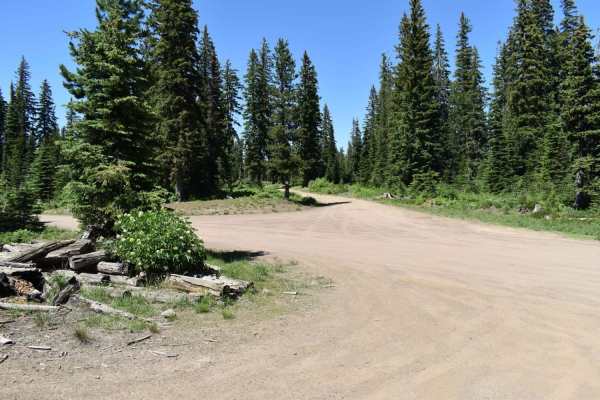
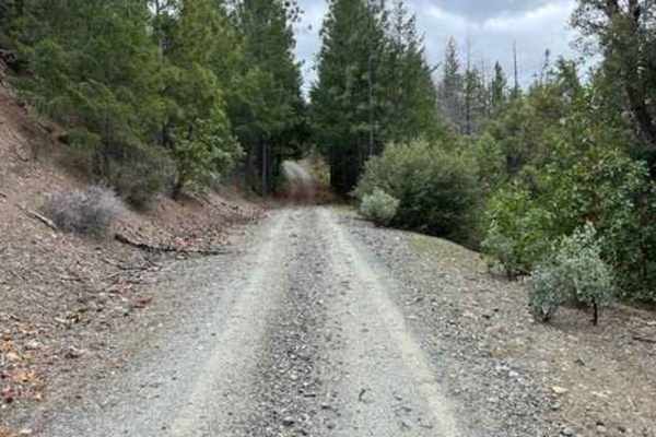
L-1100
L-1100 is located in the Yacolt Burn State Forest which is nestled at the base of the Cascade Mountain Range in Southwest Washington. These roads are well maintained and are gravel with very few potholes. There are houses and private property along this route for the first section of this trail. The...
Learn more about L-1100
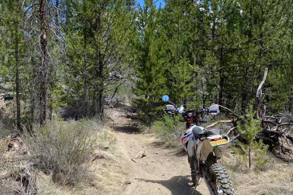
Long Green Mountain Lookout Loop
This trail is a mixture of sage brush, Juniper trees and rock outcroppings. The road is rocky and rutted in spots. It's a slow go through some of it. The trail took us by many cow watering holes and through some BLM cattle gates. It's beautiful terrain with many scenic stops providing excellent ...
Learn more about Long Green Mountain Lookout Loop
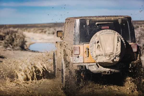
Back Way to the Lost Forest
Headed north off the Christmas Valley Highway to explore. The road goes through some very deep and muddy puddles, through sagebrush, and eventually the East border of the Christmas Valley Sand Dunes. There are many access points to the dunes from the east side. We stayed on the rocky road, and it le...
Learn more about Back Way to the Lost Forest
Lucky Butte Lakes
Depending on your starting location, North or South, either end of this trail is an great place to start. There are plenty of campsites and day use areas to stage your group in or just relax before heading out on the trail. For the South to North route, starting at the Yellowbottom Campground and da...
Learn more about Lucky Butte Lakes
OHV Abbott Road Quarry
This sneaky hidden side trail opens up to another bigger quarry play area. It's short; it's sweet. But it's good to know how to find it since you can pass right over it. There is a hidden trail around to the left; take the calm, easy path. Take the other two paths only if you dare. The end of this p...
Learn more about OHV Abbott Road Quarry

L-1200
L-1200 is located in the Yacolt Burn State Forest. It's an easy gravel road that is well maintained by the state. Once on the trail, you will first cross the West Fork Washougal River where you can stop and enjoy the scenery and the small waterfall and even camp if you'd like. From there you continu...
Learn more about L-1200
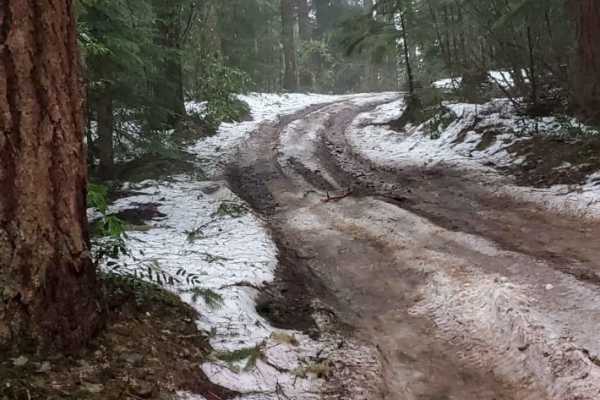
Jubilee to Tiger Creek
This trail covers a large portion of the northern section of Jubilee. This trail is covered in snow during the winter and most of spring as well. This trail was rutted in some areas, and the brush was pretty tight for my full-size truck in places. There are some nice potential campsites tucked away ...
Learn more about Jubilee to Tiger Creek
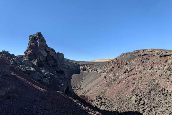
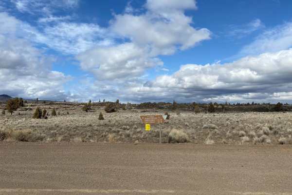
Coffeepot Crater Road
This is a short, rocky dirt spur road accessing Coffeepot Crater. Coffeepot Crater is an interesting point of interest along the edge of the Jordan Craters Lava Beds. It is worth a stop to climb to the edge of the crater and/or do a short hike in the lava beds.
Learn more about Coffeepot Crater Road
King of the Hill
This route starts from the Jones Creek Exit off the highway and immediately onto a dirt road. You will end up taking North Fork Wilson River Road, the first half of the route you are driving side by side with the river, not much incline in the first section. The road is dirt/mud in some sections and...
Learn more about King of the Hill
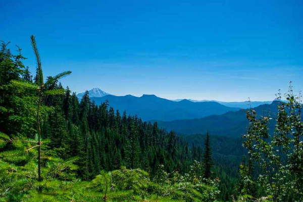
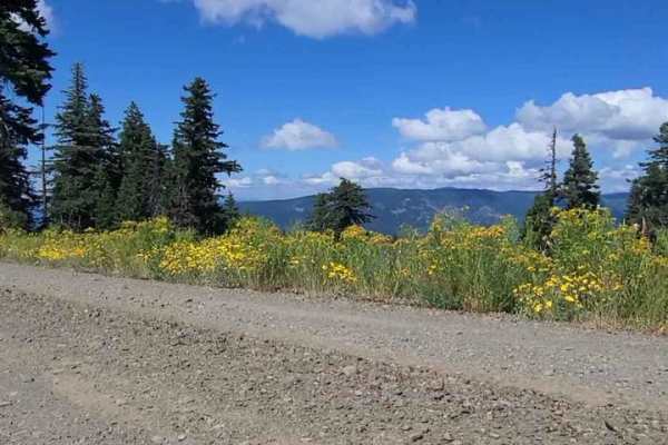
Prairie Farm Creek
This route will take you up to Prairie Farm Creek and the top side of Green Ridge. The route provides many camping opportunities with an abundant amount of other spur trails you can branch off on. From this road, you can head west to Green Ridge, which provides amazing views of the Cascade Range, in...
Learn more about Prairie Farm Creek
Washington Backcountry Discovery Route Section 1
This route covers all of section 1 of the Washington Backcountry Discovery Route (WABDR) from Carson to Packwood. Weather and route conditions can vary significantly from one area to the next, especially in early spring or late fall. This route is mostly impassible in winter due to snow. Early sprin...
Learn more about Washington Backcountry Discovery Route Section 1
Hardtrigger Trail
This 18.2-mile out-and-back trail takes you to a scenic overlook of Hardtrigger Creek in the Owyhee Mountain Range. The trail starts at the Wilson Creek Trailhead and parallels the Northwest Passage Hiking Trail. At approx. 4 miles you enter Stewarts Gulch and begin the climb up a canyon paralleling...
Learn more about Hardtrigger Trail
Wagner & Siskiyou
This is a great run from Wagner Creek through parts of Siskiyou Pass to Maple Dell Gap. From Maple Dell Gap you can continue on to Squaw Lake or head north and reconnect with Siskiyou Pass. You can also head South into CA. We ran this trail Memorial Day weekend and encountered a downed tree and c...
Learn more about Wagner & Siskiyou
Whiskey Mountain Road
This starts off as an access improved dirt road. It quickly climbs in elevation with multiple switch backs. You then pass through a closed cattle gate and begin the trail. This is high clearance 4x4 with creek crossings, and tree roots. The best and prettiest time to go is at the end of spring and b...
Learn more about Whiskey Mountain Road
Peel to Wolf Creek Job Corps Bypass Route
This route is a bypass for local residents and employees of Job Corps to avoid fire or road hazards that may arise. It is mostly small tire-friendly. Use caution during the week as it will have moderate log truck traffic in the area and on Little River Road.
Learn more about Peel to Wolf Creek Job Corps Bypass Route
A-6 Crash Site
This one was a fun one. Very rocky road with deep ruts in areas. The whole journey took us through a fairly flat sagebrush terrain with some elevation change and beautiful rock outcroppings. There are many places to pull off and explore. There's a fairly steep ascent at the end of the route to the c...
Learn more about A-6 Crash Site
Spur Road
This is a spur road following Palmer creek. There are lots of active mining claims along this stretch of creek. Also lots of side roads that just dead-end. Up by Baily Gulch, there are remains of an old hard rock mine. Concrete structures. Be careful as they are still actively mining this area.
Learn more about Spur Road
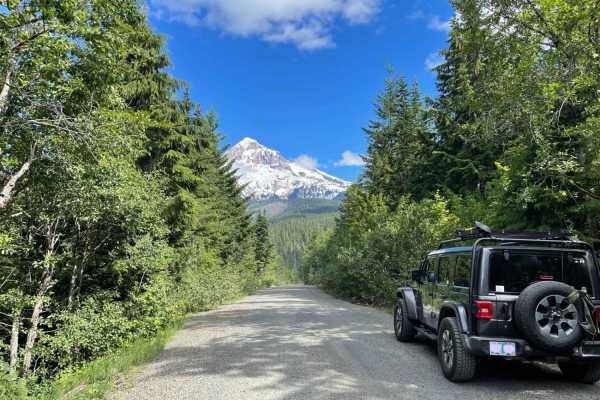
Lolo Pass
Historic Lolo Pass is a scenic drive that connects the Sandy River area to Lost Lake and Hood River. Spectacular valley views open up to reveal the western side of Mt. Hood. The driving surface is relatively smooth for the majority of the route, with the occasional pothole. The road will sometimes g...
Learn more about Lolo Pass
Chesley's Challenge
Expect just about everything except water and mud. There are deep whoops, Silty sand, pumice all over the trail creating a unique riding experience. You will find long straights, curvy section in tight corners in the trees, steep drops and rocky areas and plenty of great views and challenges.
Learn more about Chesley's Challenge
High Divide #5850
Are you looking for a backcountry adventure with views? Then I recommend checking out High Divide, a 45-mile-long forest road ride! Most will start this road right outside the town of Oakridge. There is little to no cellphone service in this area. If you need reception, the Dairy Queen near Chevron ...
Learn more about High Divide #5850
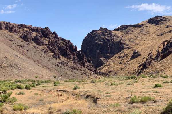
ATV trails in Oregon
Explore ATV-friendly trails in Oregon. These trails are accessible for vehicles up to 50 inches wide, perfect for ATVs and smaller off-road machines.
L-1100
L-1100 is located in the Yacolt Burn State Forest which is nestled at the base of the Cascade Mountain Range in Southwest Washington. These roads are well maintained and are gravel with very few potholes. There are houses and private property along this route for the first section of this trail. The...
Learn more about L-1100
Long Green Mountain Lookout Loop
This trail is a mixture of sage brush, Juniper trees and rock outcroppings. The road is rocky and rutted in spots. It's a slow go through some of it. The trail took us by many cow watering holes and through some BLM cattle gates. It's beautiful terrain with many scenic stops providing excellent ...
Learn more about Long Green Mountain Lookout Loop
OHV Abbott Road Quarry
This sneaky hidden side trail opens up to another bigger quarry play area. It's short; it's sweet. But it's good to know how to find it since you can pass right over it. There is a hidden trail around to the left; take the calm, easy path. Take the other two paths only if you dare. The end of this p...
Learn more about OHV Abbott Road Quarry
L-1200
L-1200 is located in the Yacolt Burn State Forest. It's an easy gravel road that is well maintained by the state. Once on the trail, you will first cross the West Fork Washougal River where you can stop and enjoy the scenery and the small waterfall and even camp if you'd like. From there you continu...
Learn more about L-1200
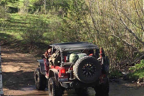
UTV/side-by-side trails in Oregon
Find UTV and side-by-side trails in Oregon. These trails accommodate vehicles up to 60 inches wide, ideal for UTVs, side-by-sides, and wider off-road rigs.
L-1100
L-1100 is located in the Yacolt Burn State Forest which is nestled at the base of the Cascade Mountain Range in Southwest Washington. These roads are well maintained and are gravel with very few potholes. There are houses and private property along this route for the first section of this trail. The...
Learn more about L-1100
Long Green Mountain Lookout Loop
This trail is a mixture of sage brush, Juniper trees and rock outcroppings. The road is rocky and rutted in spots. It's a slow go through some of it. The trail took us by many cow watering holes and through some BLM cattle gates. It's beautiful terrain with many scenic stops providing excellent ...
Learn more about Long Green Mountain Lookout Loop
OHV Abbott Road Quarry
This sneaky hidden side trail opens up to another bigger quarry play area. It's short; it's sweet. But it's good to know how to find it since you can pass right over it. There is a hidden trail around to the left; take the calm, easy path. Take the other two paths only if you dare. The end of this p...
Learn more about OHV Abbott Road Quarry
L-1200
L-1200 is located in the Yacolt Burn State Forest. It's an easy gravel road that is well maintained by the state. Once on the trail, you will first cross the West Fork Washougal River where you can stop and enjoy the scenery and the small waterfall and even camp if you'd like. From there you continu...
Learn more about L-1200
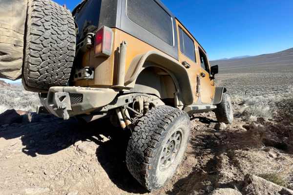
The onX Offroad Difference
onX Offroad combines trail photos, descriptions, difficulty ratings, width restrictions, seasonality, and more in a user-friendly interface. Available on all devices, with offline access and full compatibility with CarPlay and Android Auto. Discover what you're missing today!
Open Trail Map