Off-Road Trails in Oregon
Discover off-road trails in Oregon
Learn more about Barr Road Cut through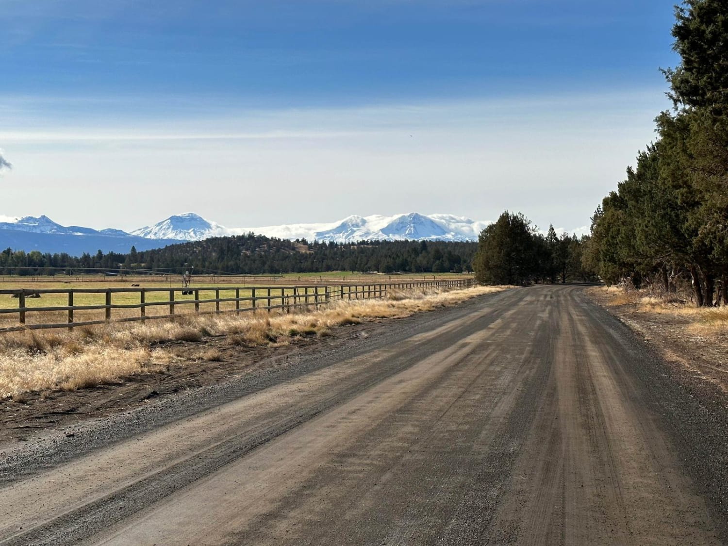
Barr Road Cut through
Total Miles
6.7
Tech Rating
Easy
Best Time
Fall, Summer, Spring, Winter

Learn more about Bear Creek Road (Painted Hills Trail)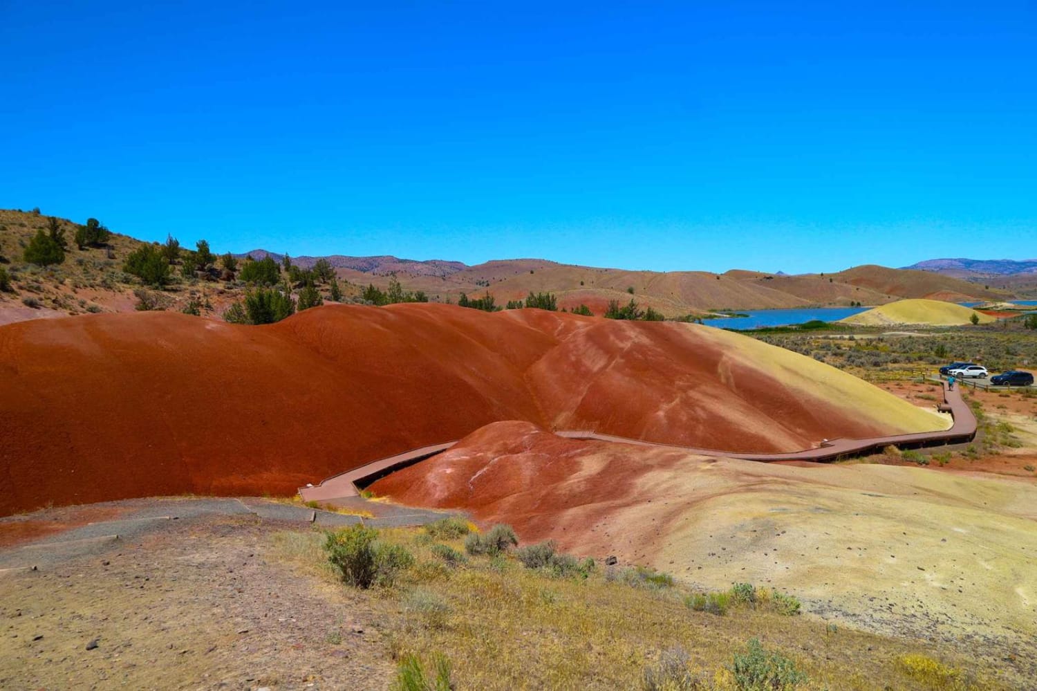
Bear Creek Road (Painted Hills Trail)
Total Miles
1.0
Tech Rating
Easy
Best Time
Spring, Summer, Fall
Learn more about Bear Pass 1509
Bear Pass 1509
Total Miles
26.2
Tech Rating
Easy
Best Time
Spring, Summer, Fall
Learn more about Bearwallow Butte
Bearwallow Butte
Total Miles
3.9
Tech Rating
Easy
Best Time
Spring, Summer, Fall
Learn more about Beaverslide #52 (Extreme)
Beaverslide #52 (Extreme)
Total Miles
0.8
Tech Rating
Extreme
Best Time
Spring, Fall
Learn more about Bell Camp Road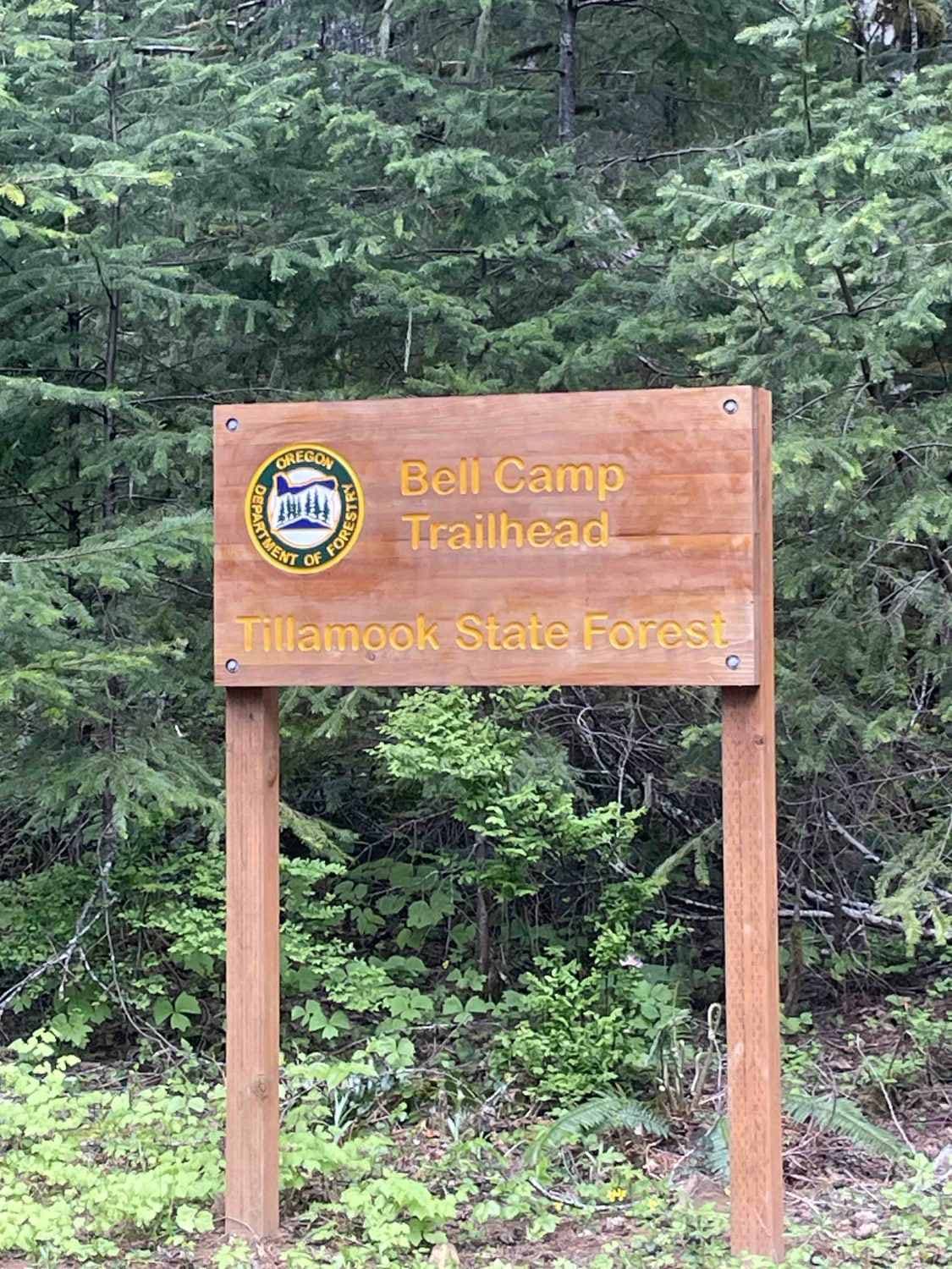
Bell Camp Road
Total Miles
5.7
Tech Rating
Easy
Best Time
Spring, Summer, Fall, Winter
Learn more about Bell Mountain Loop
Bell Mountain Loop
Total Miles
2.0
Tech Rating
Easy
Best Time
Spring, Summer, Fall, Winter
Learn more about Bell Mountain to Rye Mountain
Bell Mountain to Rye Mountain
Total Miles
4.3
Tech Rating
Easy
Best Time
Summer, Fall
Learn more about Big Burn Road
Big Burn Road
Total Miles
4.7
Tech Rating
Easy
Best Time
Spring, Summer, Fall
Learn more about Bingham Ridge 2253
Bingham Ridge 2253
Total Miles
5.4
Tech Rating
Easy
Best Time
Spring, Summer, Fall, Winter
Learn more about Black Butte Backdoor - NF1012-500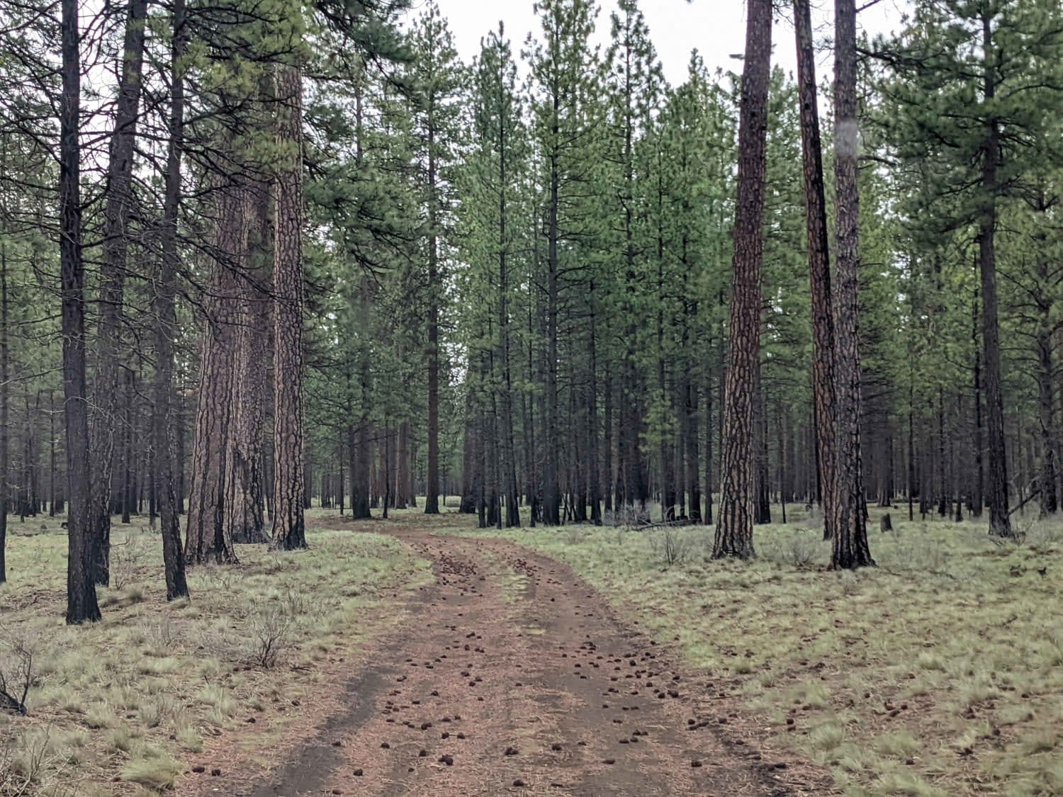
Black Butte Backdoor - NF1012-500
Total Miles
4.4
Tech Rating
Easy
Best Time
Spring, Summer, Fall
Learn more about Black Creek - FR 2421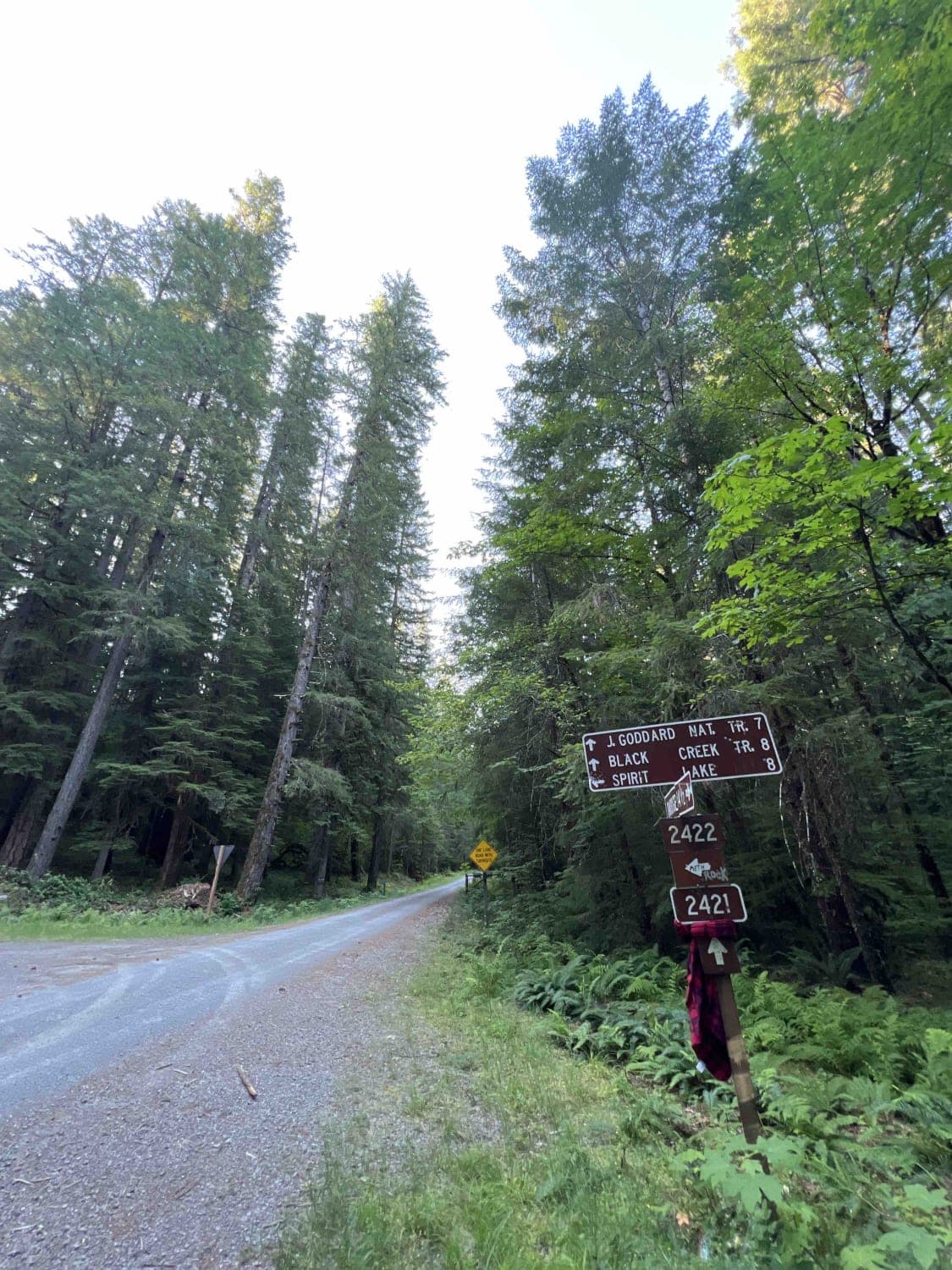
Black Creek - FR 2421
Total Miles
8.2
Tech Rating
Easy
Best Time
Spring, Summer, Fall
ATV trails in Oregon


UTV/side-by-side trails in Oregon
Learn more about 10 Mile OHV Trail
10 Mile OHV Trail
Total Miles
1.6
Tech Rating
Easy
Best Time
Spring, Summer, Fall


The onX Offroad Difference
onX Offroad combines trail photos, descriptions, difficulty ratings, width restrictions, seasonality, and more in a user-friendly interface. Available on all devices, with offline access and full compatibility with CarPlay and Android Auto. Discover what you’re missing today!