Off-Road Trails in Oregon
Discover off-road trails in Oregon
Learn more about Anderson Butte Road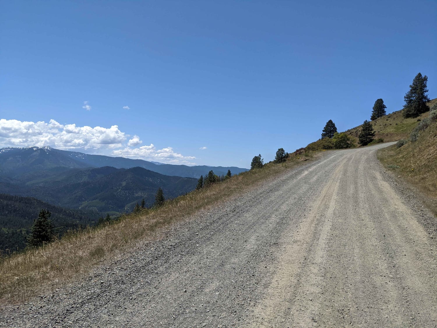
Anderson Butte Road
Total Miles
9.5
Tech Rating
Easy
Best Time
Spring, Summer, Fall, Winter
Learn more about Anderson Crossing
Anderson Crossing
Total Miles
35.5
Tech Rating
Moderate
Best Time
Summer, Fall
Learn more about Andy Creek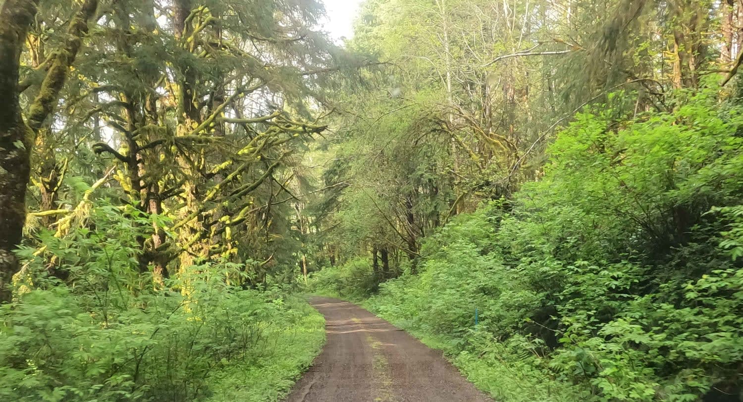
Andy Creek
Total Miles
4.0
Tech Rating
Easy
Best Time
Spring, Summer, Fall, Winter
Learn more about Annie's Desert Romp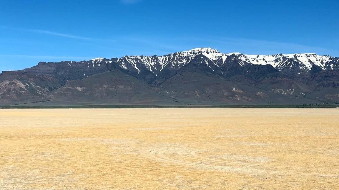
Annie's Desert Romp
Total Miles
17.4
Tech Rating
Easy
Best Time
Spring, Summer
Learn more about Antelope Crossing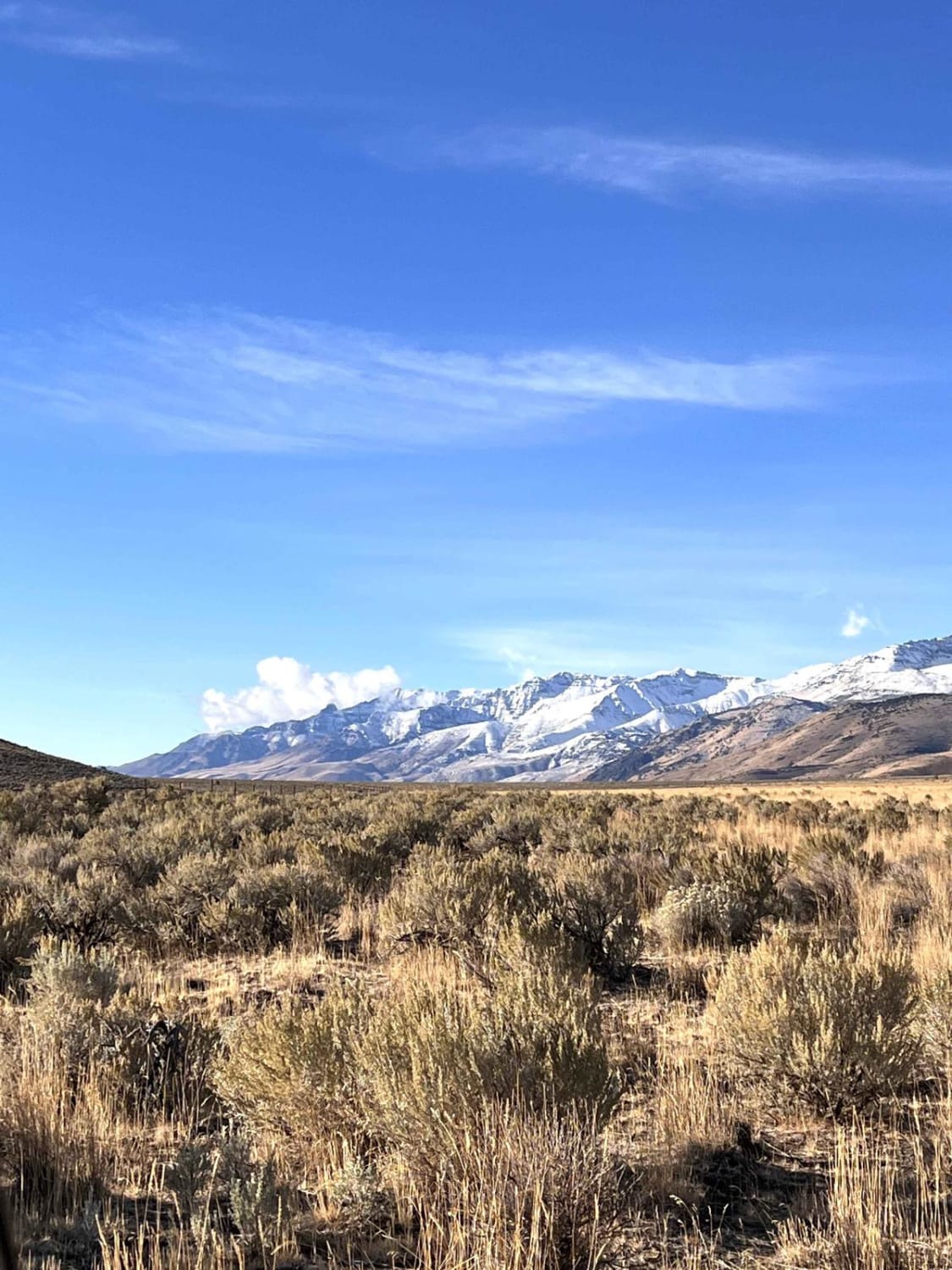
Antelope Crossing
Total Miles
1.0
Tech Rating
Easy
Best Time
Spring, Fall
Learn more about Arnold Ice Cave to Lava Butte
Arnold Ice Cave to Lava Butte
Total Miles
32.1
Tech Rating
Easy
Best Time
Summer, Fall, Spring
Learn more about Aspen Boat launch and Day-Use
Aspen Boat launch and Day-Use
Total Miles
3.3
Tech Rating
Easy
Best Time
Summer, Fall
Learn more about Aufderheide to Windy Pass
Aufderheide to Windy Pass
Total Miles
8.2
Tech Rating
Easy
Best Time
Summer
Learn more about Bachelor Butte
Bachelor Butte
Total Miles
10.2
Tech Rating
Easy
Best Time
Spring, Summer, Fall
Learn more about Back Way to the Lost Forest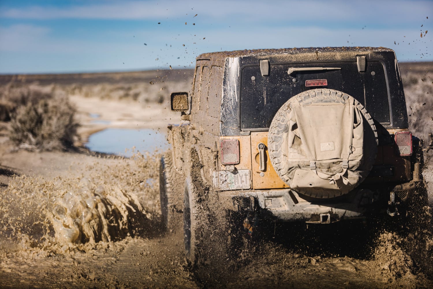
Back Way to the Lost Forest
Total Miles
24.1
Tech Rating
Easy
Best Time
Summer, Spring, Fall, Winter
Learn more about Backroads to Swiftwater to Peel Oregon 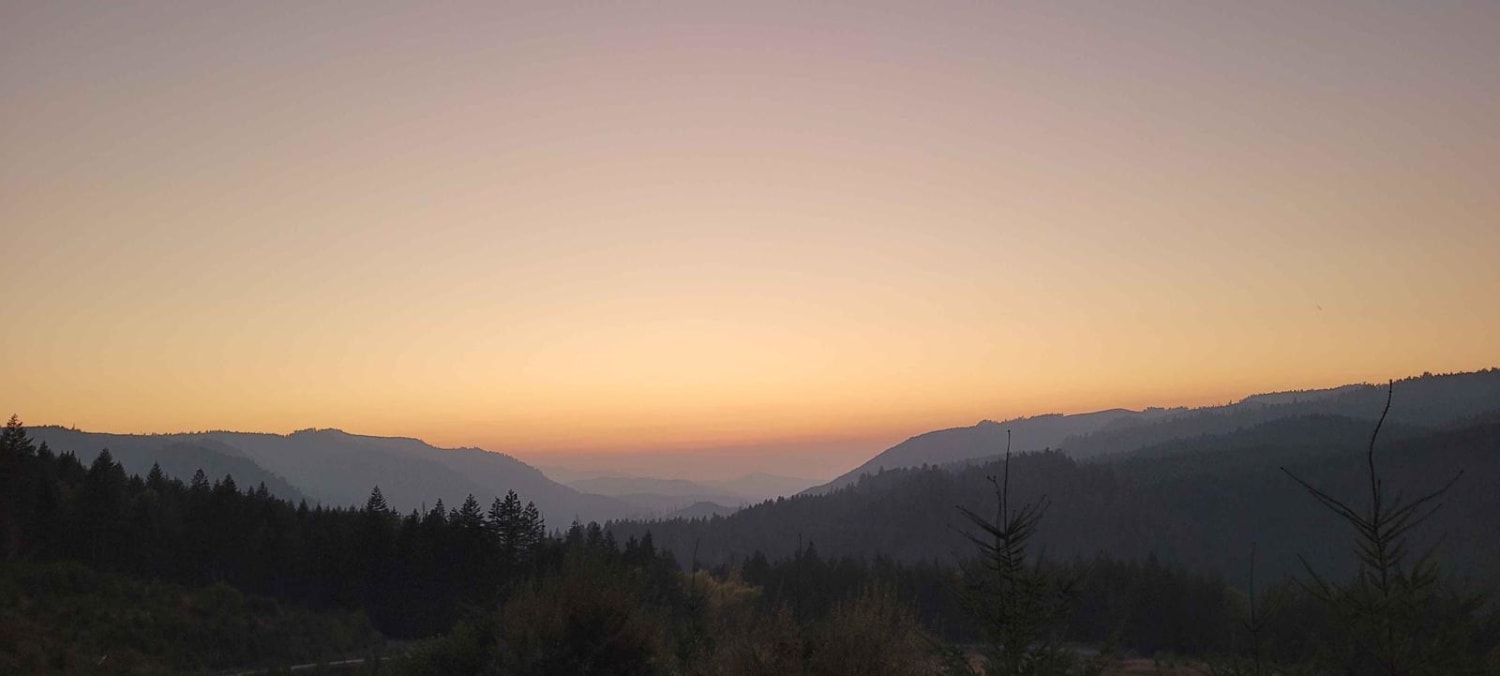
Backroads to Swiftwater to Peel Oregon
Total Miles
18.5
Tech Rating
Easy
Best Time
Spring, Summer, Fall, Winter
Learn more about Backway to Hole-in-the-Ground from Flat Top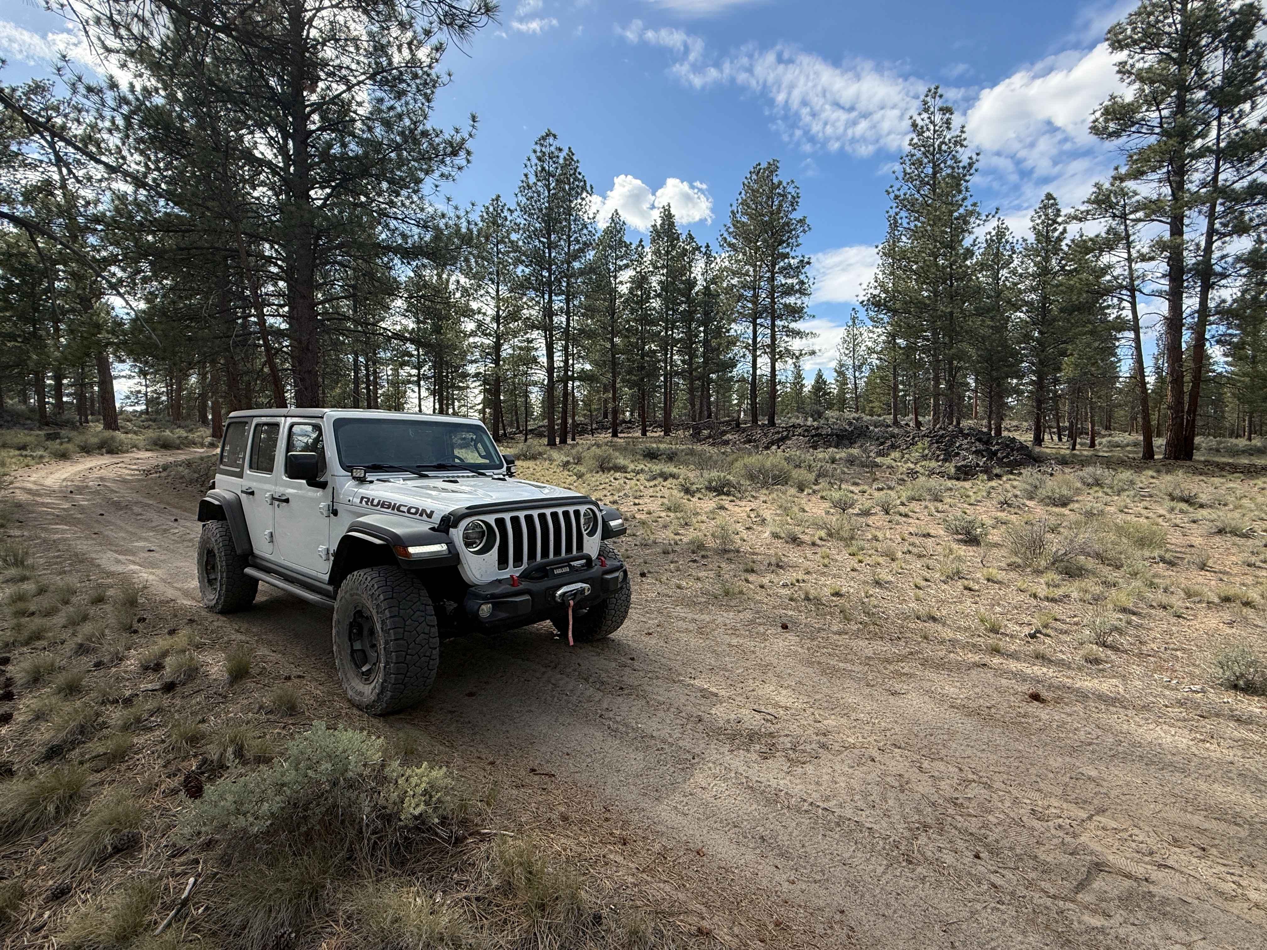
Backway to Hole-in-the-Ground from Flat Top
Total Miles
7.7
Tech Rating
Easy
Best Time
Spring, Summer, Fall
Learn more about Bacona-Pisgah Home Road
Bacona-Pisgah Home Road
Total Miles
2.2
Tech Rating
Easy
Best Time
Spring, Summer, Fall, Winter
Learn more about Badger Lake Via Bennett Pass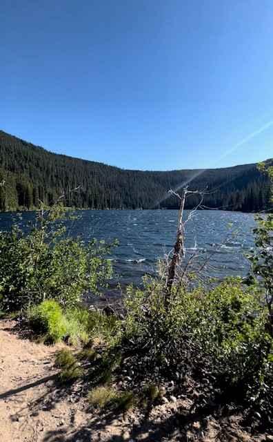
Badger Lake Via Bennett Pass
Total Miles
6.9
Tech Rating
Moderate
Best Time
Summer, Fall
Learn more about Bald Butte Lookout
Bald Butte Lookout
Total Miles
0.7
Tech Rating
Easy
Best Time
Fall, Summer, Spring
Learn more about Bark OHV Trail - 1342
Bark OHV Trail - 1342
Total Miles
4.1
Tech Rating
Easy
Best Time
Spring, Summer, Fall, Winter
ATV trails in Oregon


UTV/side-by-side trails in Oregon
Learn more about 10 Mile OHV Trail
10 Mile OHV Trail
Total Miles
1.6
Tech Rating
Easy
Best Time
Spring, Summer, Fall


The onX Offroad Difference
onX Offroad combines trail photos, descriptions, difficulty ratings, width restrictions, seasonality, and more in a user-friendly interface. Available on all devices, with offline access and full compatibility with CarPlay and Android Auto. Discover what you’re missing today!