Off-Road Trails in Oregon

Discover off-road trails in Oregon

Learn more about June Mountain
June Mountain

June Mountain

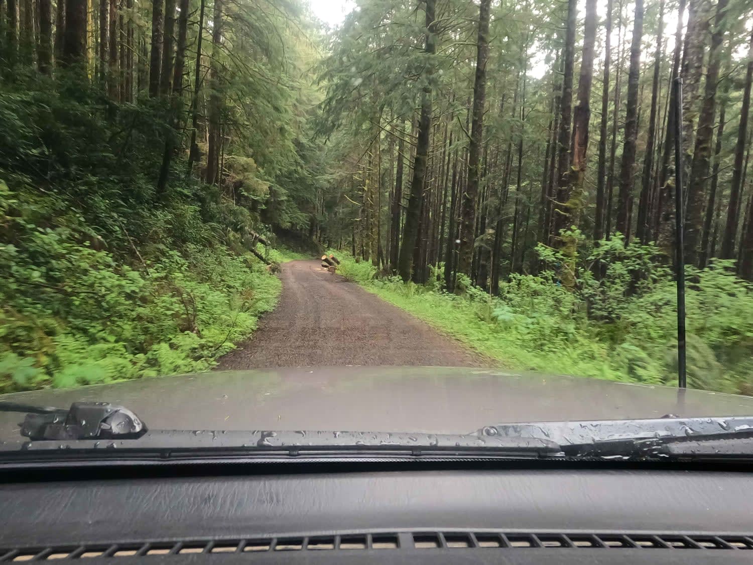
June Mountain road runs through Umpqua National Forest, it is a mix of gravel and natural surfaces. There is a potential for multiple downed trees, some of which hang over the road, making it not…
Learn more about June Mountain
Total Miles
14.1
Tech Rating
1 Easy
Best Time
Spring, Summer, Fall
Learn more about Karls Beer Run
Karls Beer Run

Karls Beer Run

The is a connecting loop to many areas around blue springs and greenhorn. It is an adventure for both new and skilled riders. There are views into Whitney valley and Sumpter Valley. There are lots…
Learn more about Karls Beer Run
Total Miles
16.1
Tech Rating
4 Moderate
Best Time
Spring, Summer, Fall
Learn more about Karls Loop
Karls Loop

Karls Loop

This is an off-trail loop that connects back to Sawmill. It has some technical climbs that do require skilled navigation, high power, and good traction. This climb gives the opportunity to look into Sumpter Valley.…
Learn more about Karls Loop
Total Miles
5.0
Tech Rating
6 Moderate
Best Time
Spring, Summer, Fall
Learn more about Katati #2424
Katati #2424

Katati #2424

Katati Road number 2424 is an easy gravel road however there are huge potholes some are the size of a small car. If you are not careful this can cause vehicle damage, so please drive…
Learn more about Katati #2424
Total Miles
6.4
Tech Rating
1 Easy
Best Time
Spring, Summer, Fall
Learn more about Keeps Mill North Access
Keeps Mill North Access

Keeps Mill North Access

This short connector route drops down 1000 feet into the White River Canyon from NFS 48 and the historic Barlow Road. The first two miles are flat and easy, but the last mile or so…
Learn more about Keeps Mill North Access
Total Miles
3.6
Tech Rating
2 Easy
Best Time
Summer, Fall
Learn more about Keeps Mill South
Keeps Mill South

Keeps Mill South

This is an access route to a remote campground along the edge of Mount Hood National Forest. The terrain is mixed gravel and pavement along NFS roads until the last few miles down into the…
Learn more about Keeps Mill South
Total Miles
18.1
Tech Rating
2 Easy
Best Time
Summer, Fall
Learn more about Kiger Mustang Viewing Area Road
Kiger Mustang Viewing Area Road

Kiger Mustang Viewing Area Road

This route takes you deep into the Steens Mountains to a nice viewing area. The road is easy when dry and extremely difficult when wet as evidenced by the large ruts from people getting stuck…
Learn more about Kiger Mustang Viewing Area Road
Total Miles
21.5
Tech Rating
2 Easy
Best Time
Spring, Summer, Fall
Learn more about Kiger's Rocky Ridge
Kiger's Rocky Ridge

Kiger's Rocky Ridge

This bumpy out and back ends at a private property sign nailed to a downed tree in a stunning Aspen Grove. Along the trail, a ton of offshoots lead to epic cliffside views and the…
Learn more about Kiger's Rocky Ridge
Total Miles
6.5
Tech Rating
4 Moderate
Best Time
Summer, Fall
Learn more about Kilchis Falls Spur
Kilchis Falls Spur

Kilchis Falls Spur

This two-mile portion of Kilchis River Forest Road is used as a spur to access a nearby waterfall while exploring the area. Kilchis Falls is a tall, misty waterfall, found on the winding back roads…
Learn more about Kilchis Falls Spur
Total Miles
2.0
Tech Rating
2 Easy
Best Time
Spring, Summer, Fall
Learn more about King of the Hill
King of the Hill

King of the Hill

This route starts from the Jones Creek Exit off the highway and immediately onto a dirt road. You will end up taking North Fork Wilson River Road, the first half of the route you are…
Learn more about King of the Hill
Total Miles
8.8
Tech Rating
3 Easy
Best Time
Spring, Summer, Fall
Learn more about Kruger Rock Road
Kruger Rock Road

Kruger Rock Road

This trail begins near the highway and Shady Dell Campground. The first couple hundred yards are paved, turning to fairly smooth gravel for the remainder, with the occasional pothole to avoid. Although there is a…
Learn more about Kruger Rock Road
Total Miles
8.0
Tech Rating
1 Easy
Best Time
Spring, Summer, Fall, Winter
Learn more about Kwiskwis - FR 5871
Kwiskwis - FR 5871

Kwiskwis - FR 5871

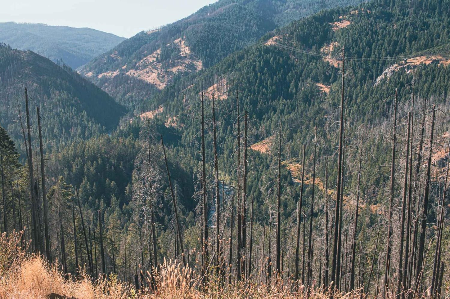
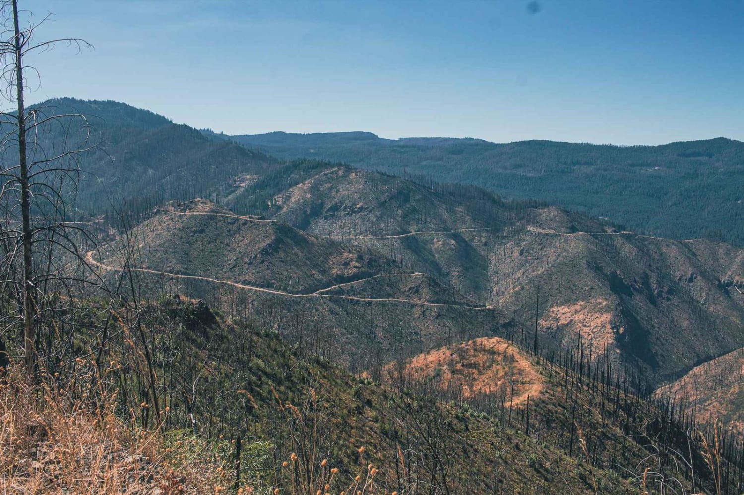
Kwiskwis 5871 is in the heart of the Willamette National Forest which accounts for 1.7 million acres in Oregon. This route is part of the 2020 Beachie Creek, Holiday Farm, and Lionshead Fires which burned…
Learn more about Kwiskwis - FR 5871
Total Miles
7.6
Tech Rating
5 Moderate
Best Time
Spring, Summer, Fall
Learn more about Kwiskwis Butte 2408
Kwiskwis Butte 2408

Kwiskwis Butte 2408

Kwiskwis Butte 2408 will take you down a 13.1-mile gradual 4000-foot climb to the top off Kwiskwis Butte which sits at an elevation of 4,593 feet and is located in the 1.7 million-acre Willamette National…
Learn more about Kwiskwis Butte 2408
Total Miles
12.9
Tech Rating
6 Moderate
Best Time
Spring, Summer, Fall
Learn more about La Dee Flats
La Dee Flats

La Dee Flats

Area consisting of many 4x4 and ATV trails that branch off of main roads. The road itself is gravel with many potholes. During the winter, snow will cover a majority of the area allowing for…
Learn more about La Dee Flats
Total Miles
4.4
Tech Rating
3 Easy
Best Time
Spring, Summer, Fall, Winter
Learn more about Lakebed Cutover
Lakebed Cutover

Lakebed Cutover

This bumpy little trail leads across the lower mountainside of the valley along the sides of the dry lake beds. There are quite a few nice offshoots for exploring and finding flat spots to camp.…
Learn more about Lakebed Cutover
Total Miles
3.9
Tech Rating
2 Easy
Best Time
Spring, Fall
Learn more about Larison Creek Trailhead Upper 1202-101
Larison Creek Trailhead Upper 1202-101

Larison Creek Trailhead Upper 1202-101

Larison Creek Trailhead is the gateway to a very popular motorized/non-motorized riding trail system in the 1.7 million-acre Willamette National Forest. Located 42 miles south of Oakridge, Oregon, this route leads you through an 11.4-mile…
Learn more about Larison Creek Trailhead Upper 1202-101
Total Miles
11.1
Tech Rating
7 Difficult
Best Time
Spring, Summer, Fall
Learn more about Latiwi Creek
Latiwi Creek

Latiwi Creek

Latiwi Creek road runs through the Willamette National Forest and is an access road to Houserock Falls Trailhead and House Rock Campground. The road is a single-lane road, with spots to pull over, downed trees…
Learn more about Latiwi Creek
Total Miles
10.0
Tech Rating
1 Easy
Best Time
Spring, Fall, Summer
Learn more about Lauserica Road
Lauserica Road

Lauserica Road

This long out-and-back trail passes through the Historic Roaring Springs ranch property. There is an old cabin on site, but please be respectful that it is private property with access through, so admire it from…
Learn more about Lauserica Road
Total Miles
11.8
Tech Rating
3 Easy
Best Time
Fall, Summer, Spring
Learn more about Lava Cast Forest 9720
Lava Cast Forest 9720

Lava Cast Forest 9720

Lava Cast forest road 9720 is a 8.5 mile gravel road that winds through the Deschutes National Forest eventually bringing you to the Lava Cast Forest loop trail. This trail is a one-mile loop that…
Learn more about Lava Cast Forest 9720
Total Miles
8.5
Tech Rating
1 Easy
Best Time
Spring, Summer, Fall
Learn more about Lava Cast Forest Trail
Lava Cast Forest Trail

Lava Cast Forest Trail

Just off highway 97 turn onto Sugar Pine Butte Road. Down this trail you will find beautiful lava roads freckled with juniper trees and forests. Gravel washboard roads with mild hill climbs and descents are…
Learn more about Lava Cast Forest Trail
Total Miles
12.2
Tech Rating
1 Easy
Best Time
Fall, Summer, Spring
1 ... 6 7 8 9 10 11 12 13 14 15 ... 21

Go Farther

Try onX Offroad Elite for free for a week — no strings attached. Get access to thousands of off-road dirt trails and snowmobile trails across the nation. View your favorite zones in 3D. Send trails to friends. Start planning the trip of a lifetime now.