Off-Road Trails in Oregon
Discover off-road trails in Oregon
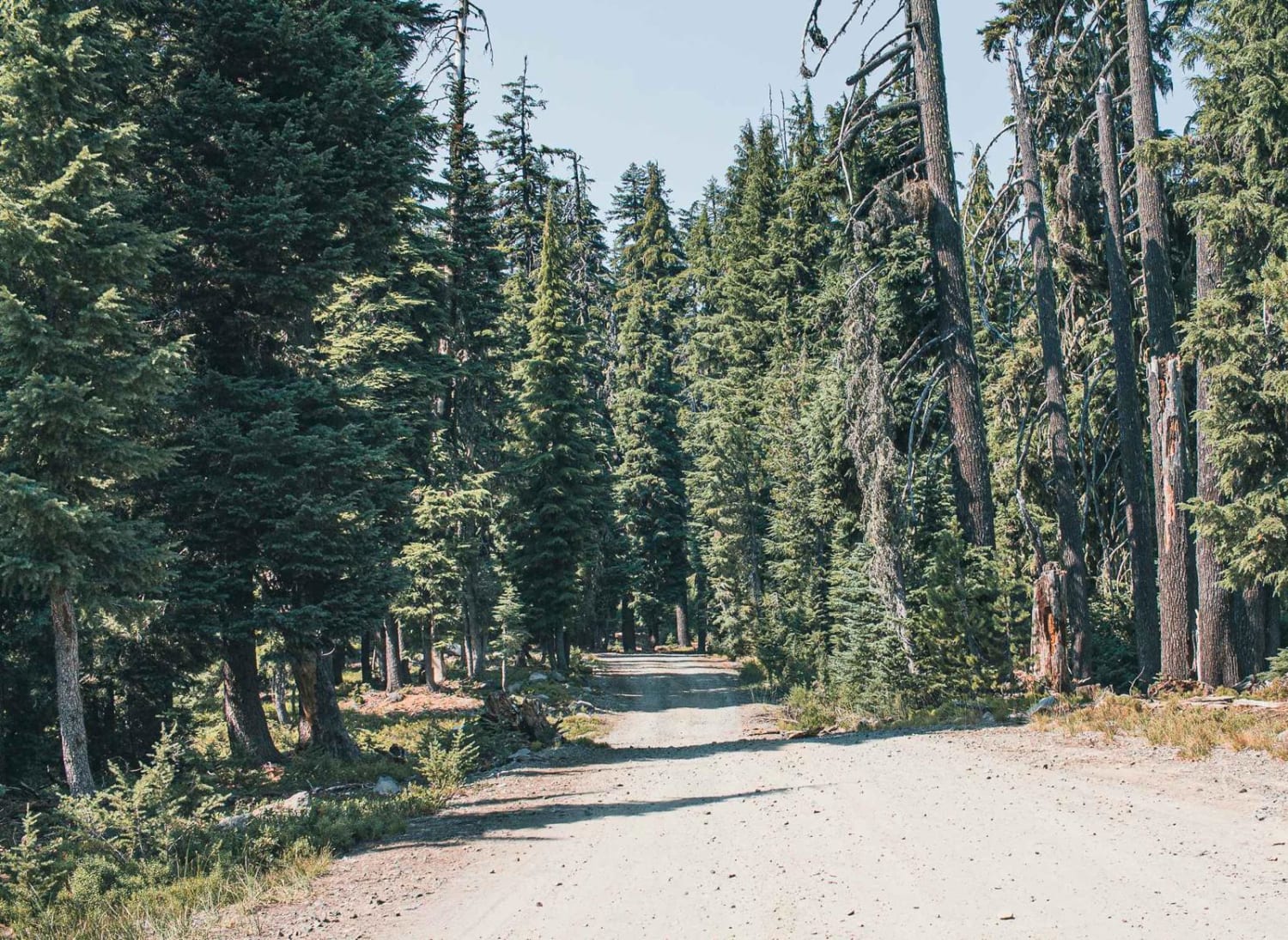
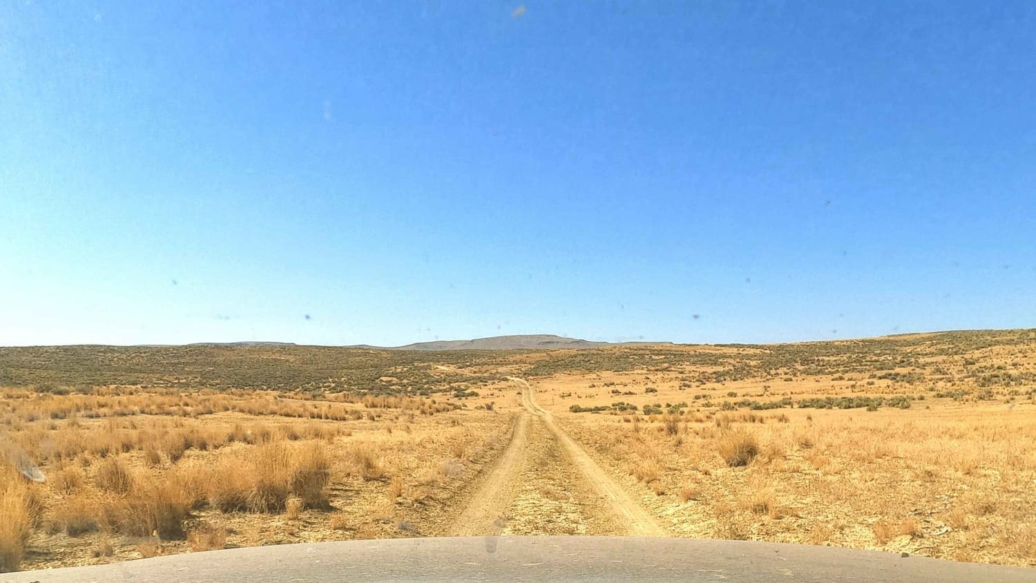
Learn more about Domingo to Hart Mountain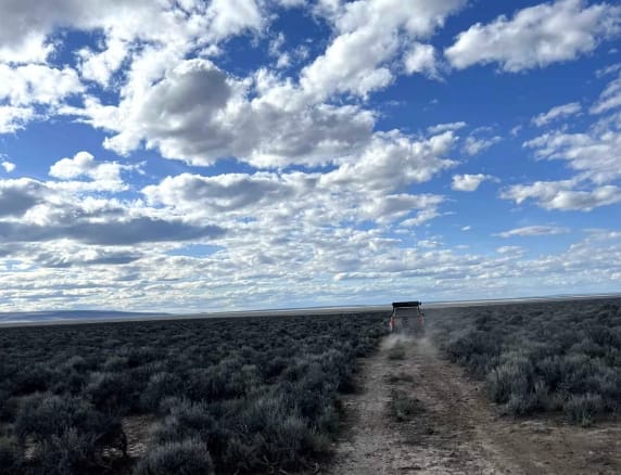
Domingo to Hart Mountain
Total Miles
86.8
Tech Rating
Moderate
Best Time
Spring
Learn more about Doughboy Meets Dirt #94
Doughboy Meets Dirt #94
Total Miles
0.4
Tech Rating
Extreme
Best Time
Spring, Fall
Learn more about Dovre Peak Bypass
Dovre Peak Bypass
Total Miles
9.8
Tech Rating
Easy
Best Time
Spring, Summer, Fall
Learn more about Dovre Peak to Tahoe Lake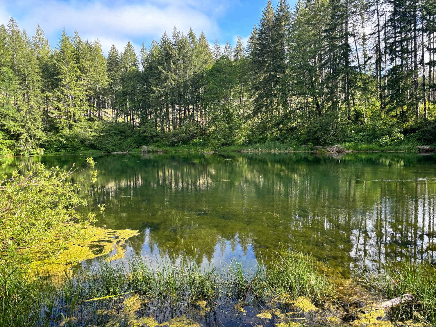
Dovre Peak to Tahoe Lake
Total Miles
8.3
Tech Rating
Easy
Best Time
Spring, Summer, Fall
Learn more about Dry Springs Trail - FS 4331000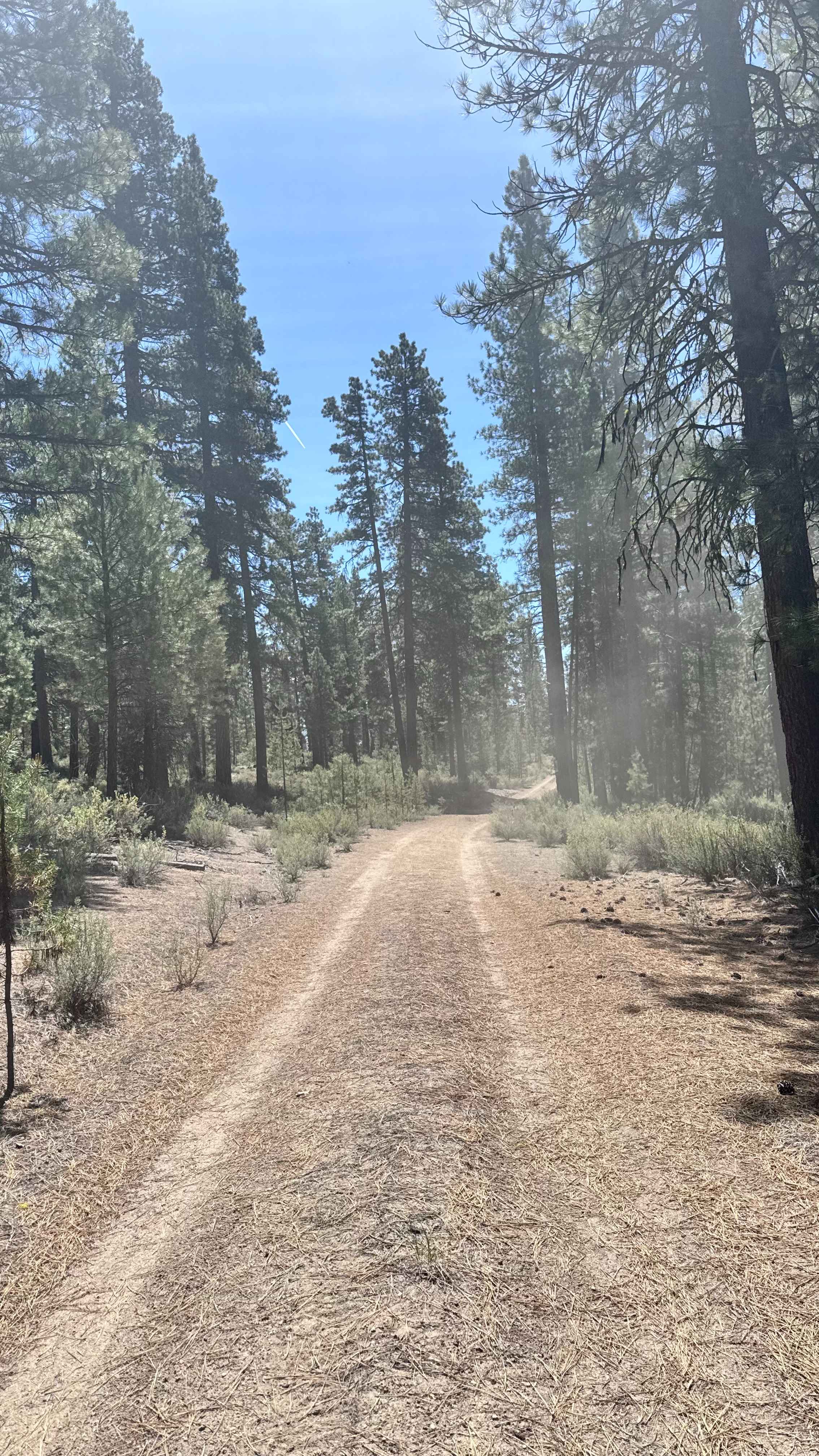
Dry Springs Trail - FS 4331000
Total Miles
3.9
Tech Rating
Easy
Best Time
Spring, Summer, Fall
Learn more about Duckett Road 716
Duckett Road 716
Total Miles
3.0
Tech Rating
Easy
Best Time
Spring, Summer, Fall
Learn more about Eagle Creek Vista
Eagle Creek Vista
Total Miles
3.8
Tech Rating
Easy
Best Time
Spring, Summer, Fall
Learn more about East Fish Creek Road
East Fish Creek Road
Total Miles
4.4
Tech Rating
Easy
Best Time
Fall, Summer
Learn more about East Fort Rock - OHV Trail 10
East Fort Rock - OHV Trail 10
Total Miles
15.7
Tech Rating
Easy
Best Time
Spring, Summer, Fall, Winter
Learn more about East Fort Rock OHV Trail 25
East Fort Rock OHV Trail 25
Total Miles
12.0
Tech Rating
Easy
Best Time
Spring, Summer, Fall, Winter
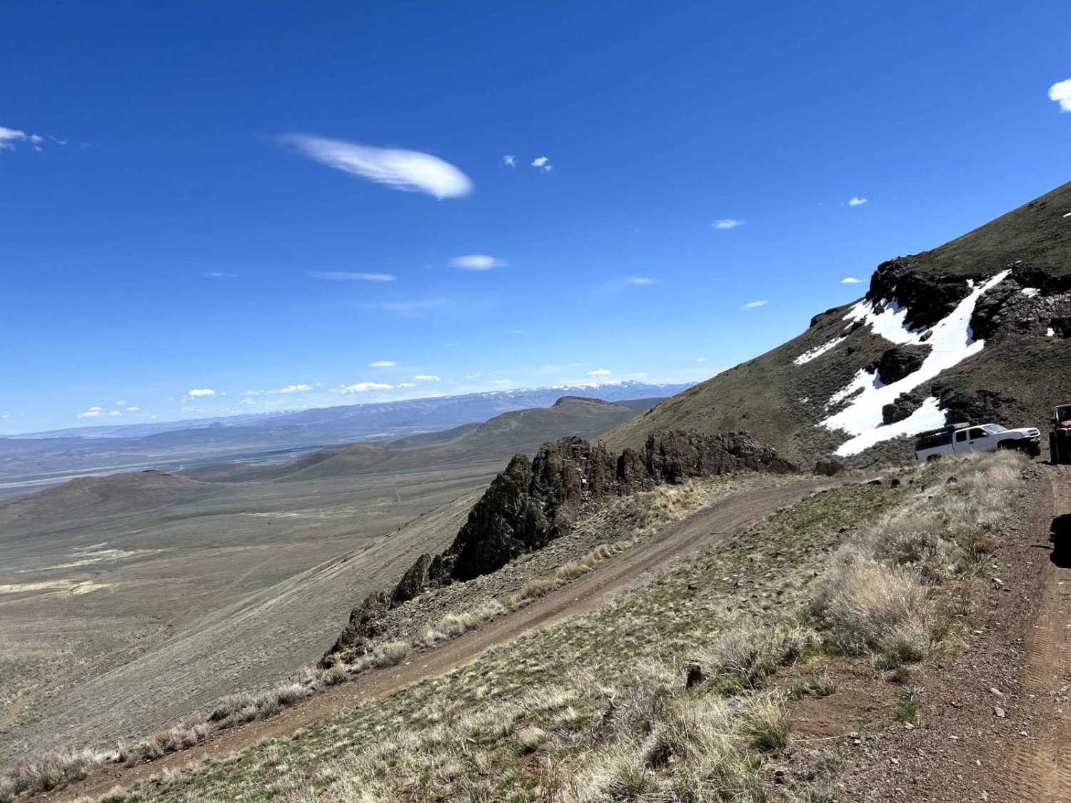
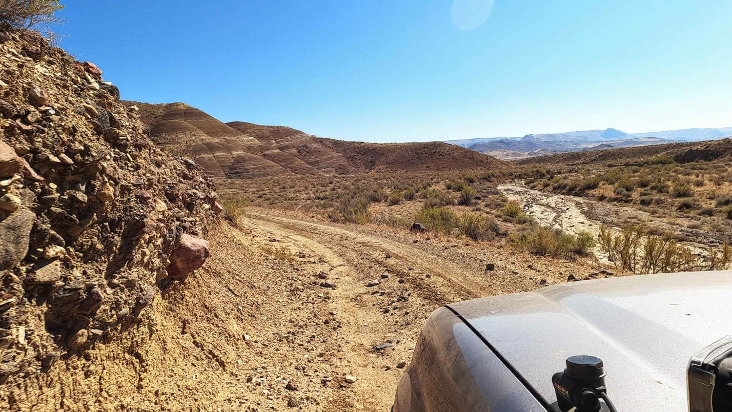
Learn more about Eastern Alvord Desert Plateau
Eastern Alvord Desert Plateau
Total Miles
82.9
Tech Rating
Moderate
Best Time
Spring, Summer
Learn more about Eden Lane - FS 6212
Eden Lane - FS 6212
Total Miles
14.5
Tech Rating
Easy
Best Time
Spring, Summer, Fall
Learn more about Elderberry Dead End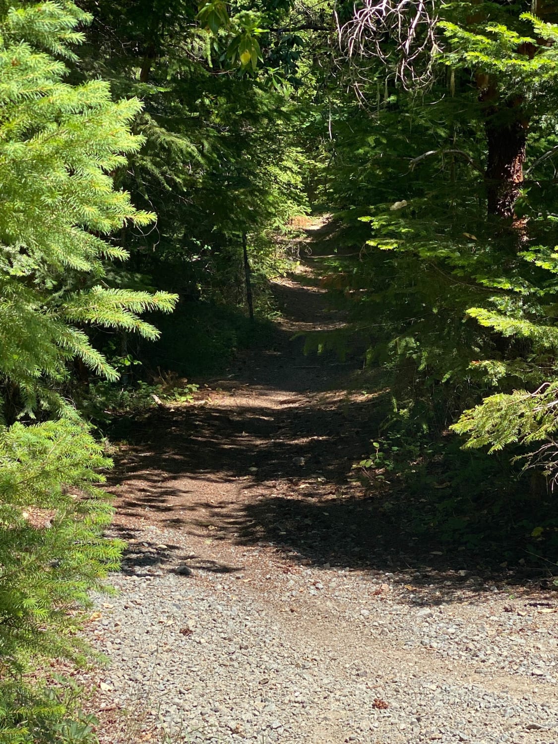
Elderberry Dead End
Total Miles
2.3
Tech Rating
Easy
Best Time
Winter, Spring, Fall
Learn more about Elk Mountain Loop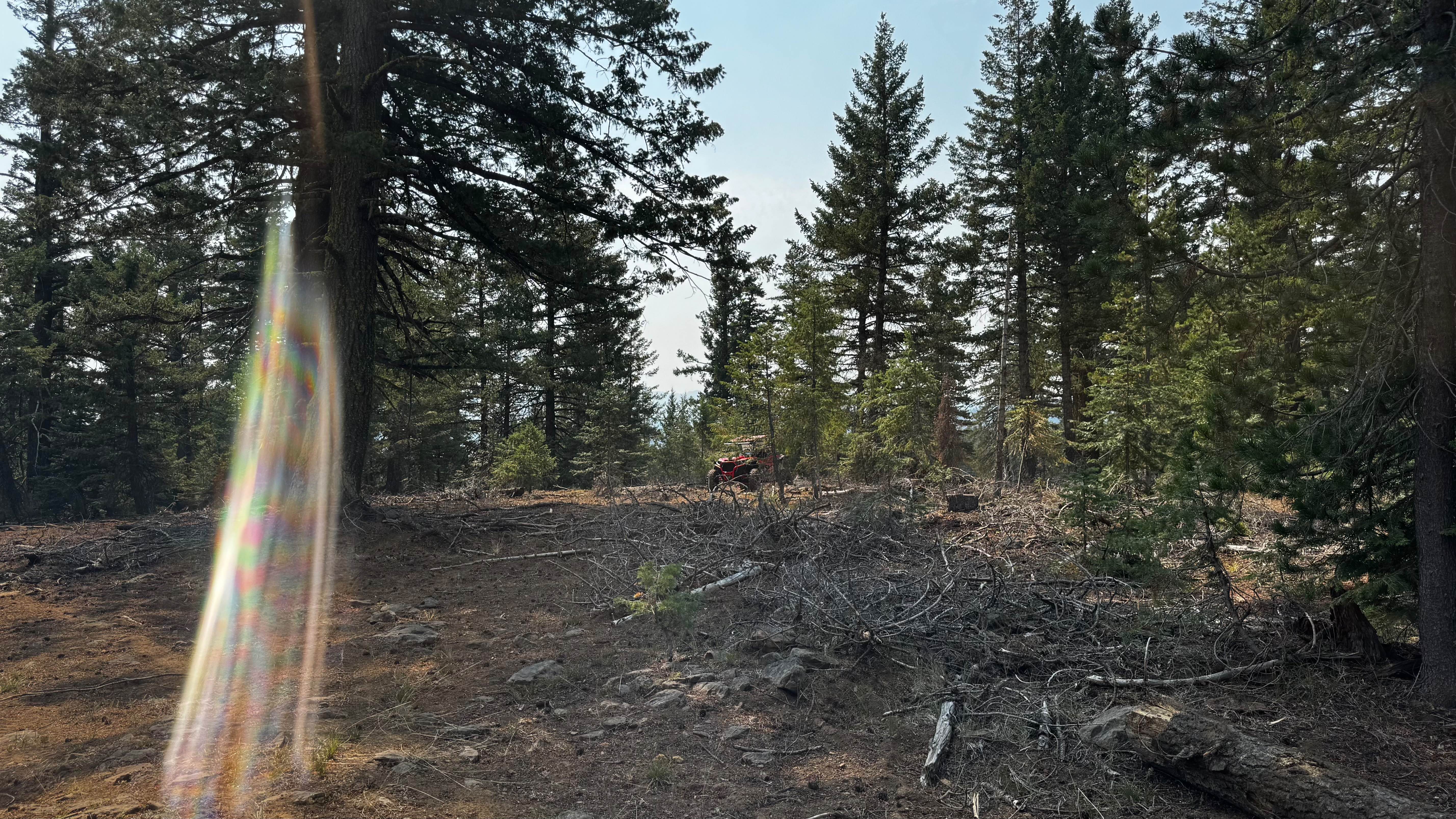
Elk Mountain Loop
Total Miles
31.5
Tech Rating
Easy
Best Time
Spring, Summer
ATV trails in Oregon


UTV/side-by-side trails in Oregon
Learn more about 10 Mile OHV Trail
10 Mile OHV Trail
Total Miles
1.6
Tech Rating
Easy
Best Time
Spring, Summer, Fall


The onX Offroad Difference
onX Offroad combines trail photos, descriptions, difficulty ratings, width restrictions, seasonality, and more in a user-friendly interface. Available on all devices, with offline access and full compatibility with CarPlay and Android Auto. Discover what you’re missing today!