Off-Road Trails in Oregon
Discover off-road trails in Oregon
Learn more about FS 2104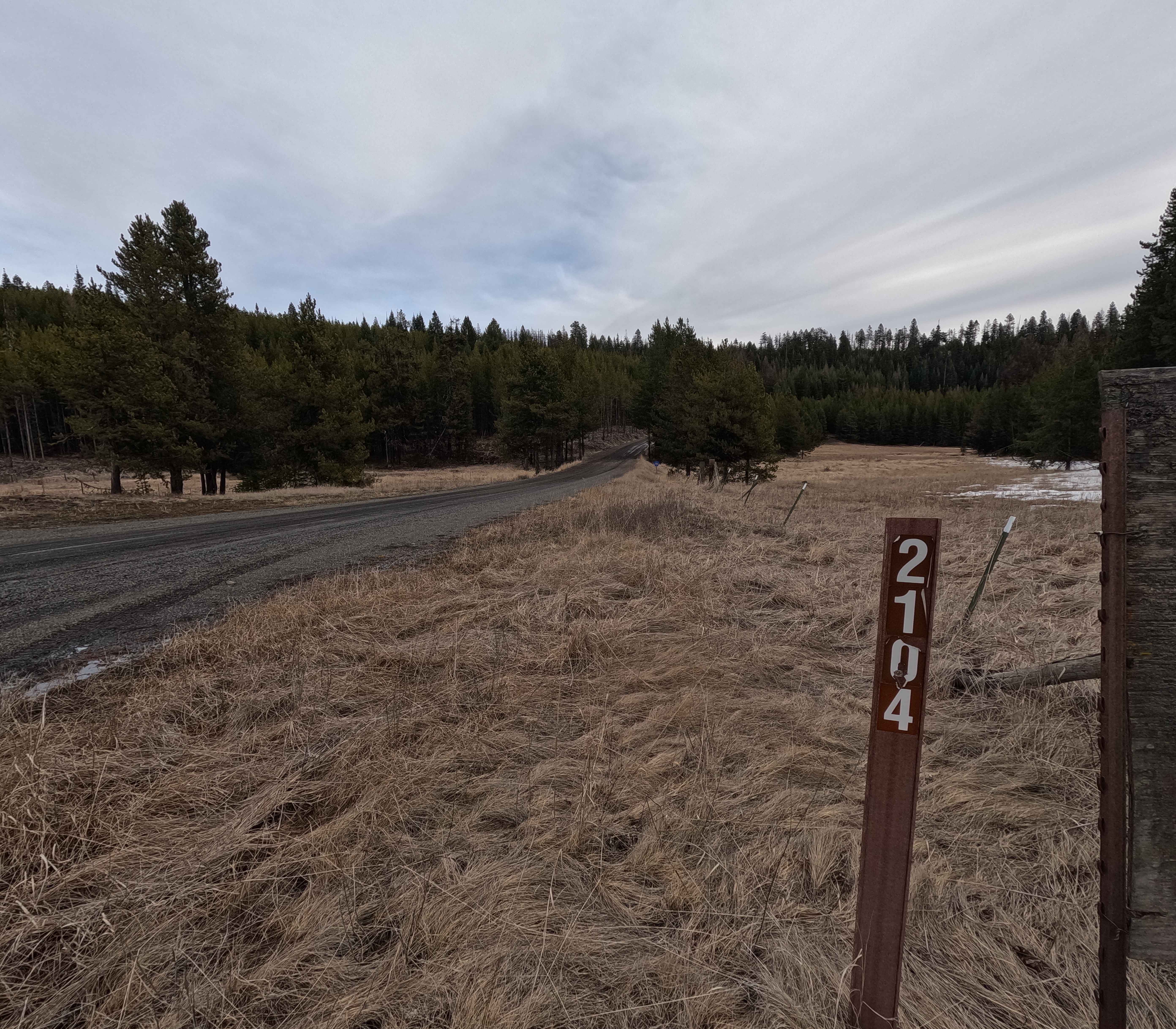
FS 2104
Total Miles
12.4
Tech Rating
Moderate
Best Time
Spring, Summer, Fall, Winter


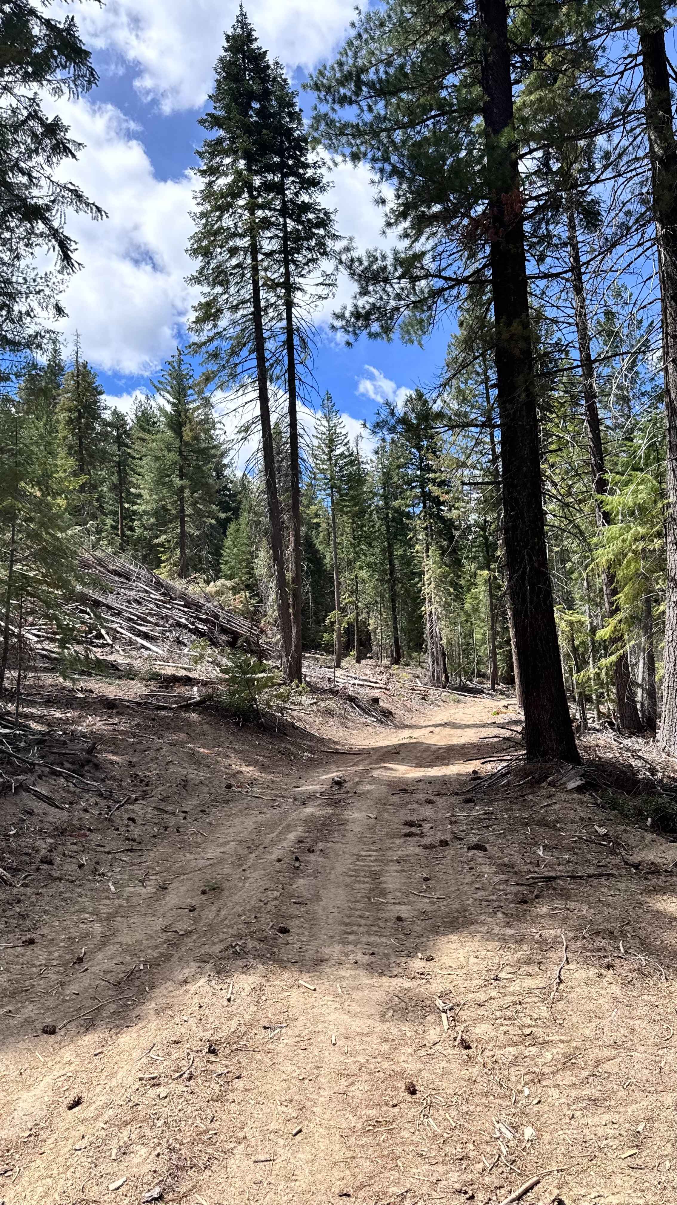
Learn more about FS 2110
FS 2110
Total Miles
7.6
Tech Rating
Moderate
Best Time
Spring, Summer, Fall, Winter
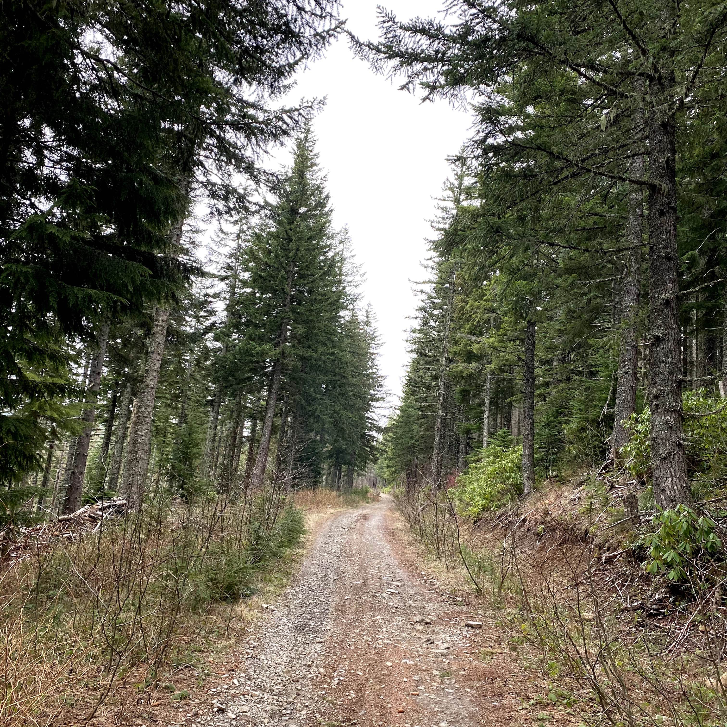
Learn more about FS 23 East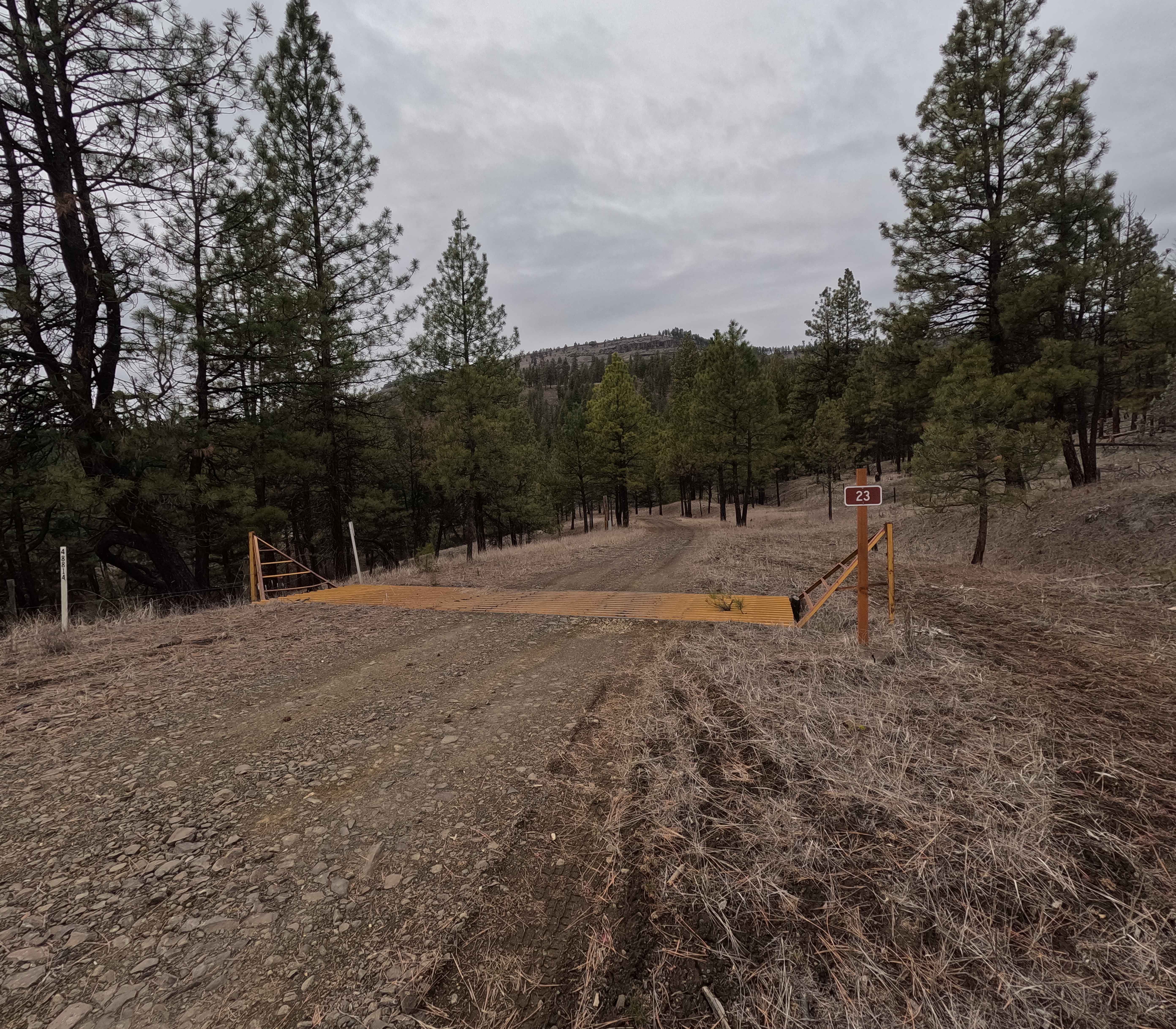
FS 23 East
Total Miles
3.2
Tech Rating
Moderate
Best Time
Spring, Summer, Fall, Winter
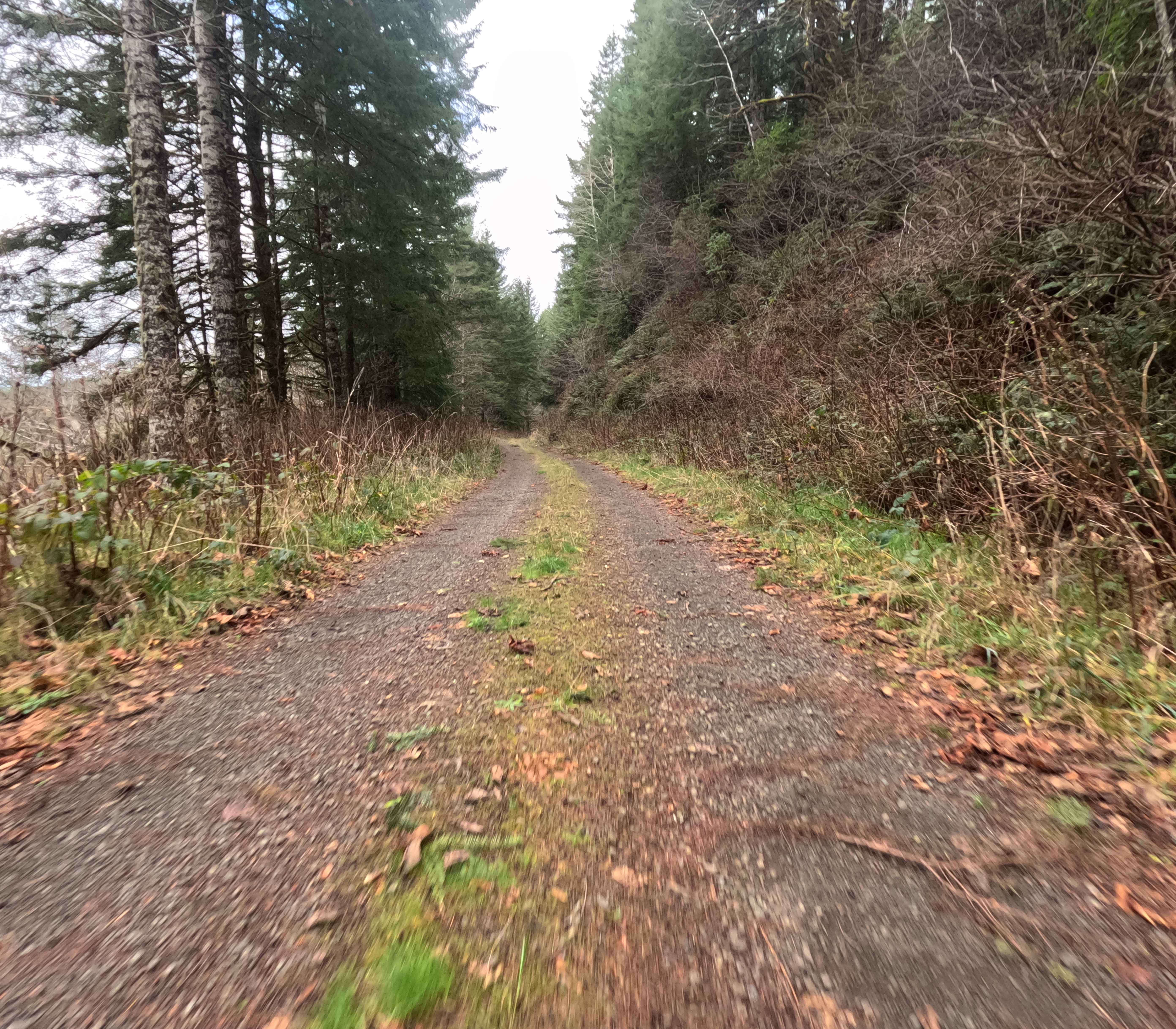
Learn more about FS 23 West
FS 23 West
Total Miles
9.2
Tech Rating
Easy
Best Time
Spring, Summer, Fall, Winter


Learn more about FS 4100-490
FS 4100-490
Total Miles
9.5
Tech Rating
Moderate
Best Time
Spring, Summer, Fall, Winter
Learn more about FS 4133-000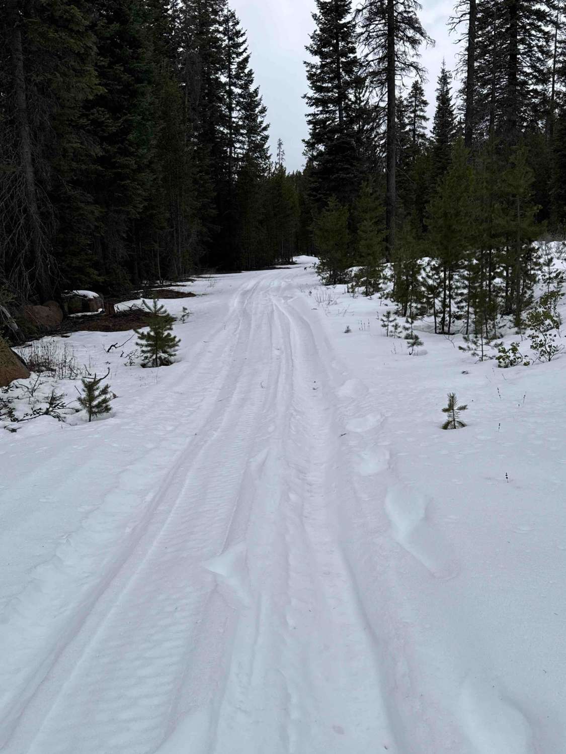
FS 4133-000
Total Miles
3.5
Tech Rating
Easy
Best Time
Spring, Summer, Fall, Winter
Learn more about FS 4140-000
FS 4140-000
Total Miles
6.5
Tech Rating
Easy
Best Time
Spring, Summer, Fall, Winter


ATV trails in Oregon


UTV/side-by-side trails in Oregon
Learn more about 10 Mile OHV Trail
10 Mile OHV Trail
Total Miles
1.6
Tech Rating
Easy
Best Time
Spring, Summer, Fall


The onX Offroad Difference
onX Offroad combines trail photos, descriptions, difficulty ratings, width restrictions, seasonality, and more in a user-friendly interface. Available on all devices, with offline access and full compatibility with CarPlay and Android Auto. Discover what you’re missing today!