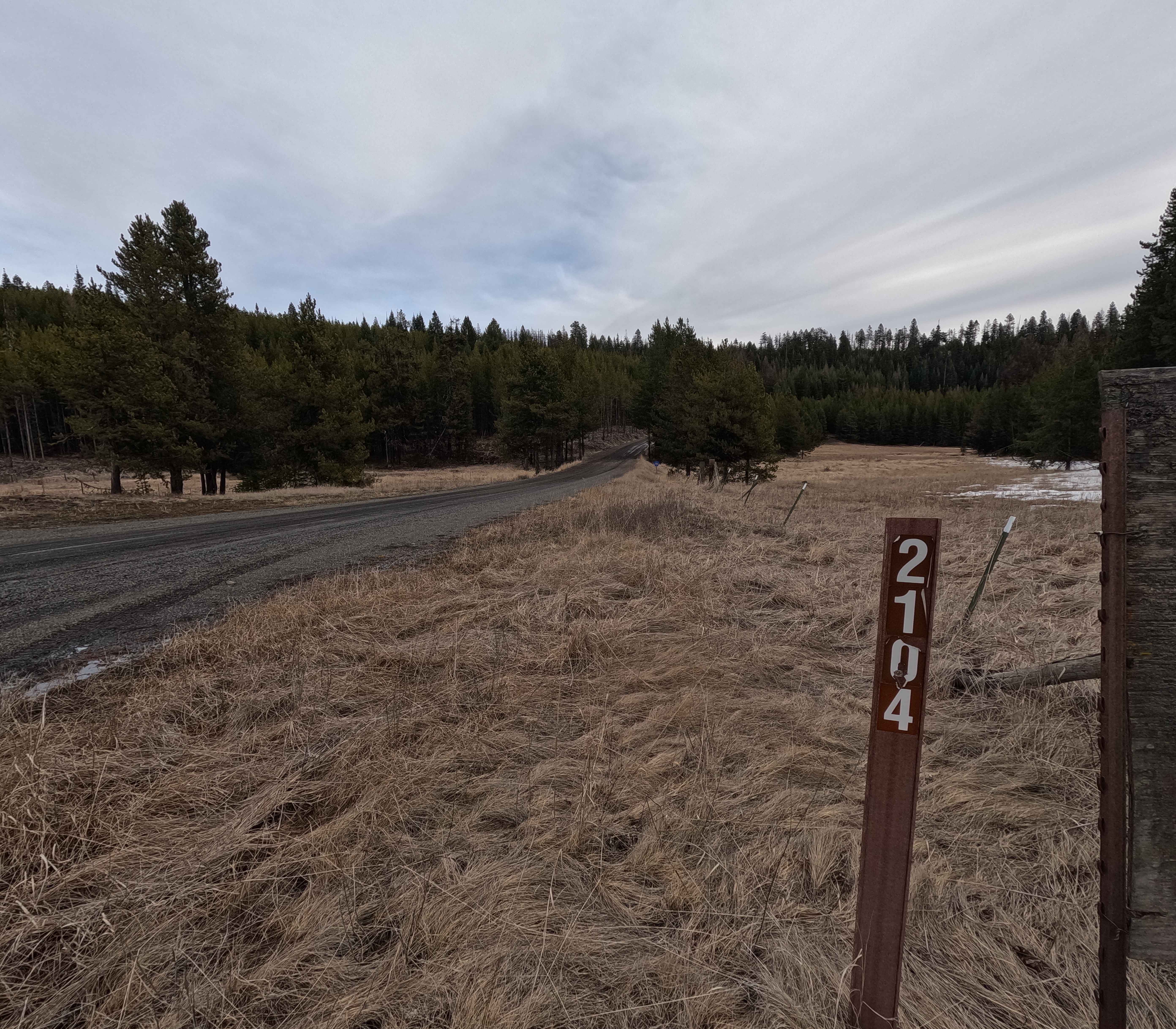
FS 2104
Total Miles
12.4
Technical Rating
Best Time
Spring, Summer, Fall, Winter
Trail Type
Full-Width Road
Accessible By
Trail Overview
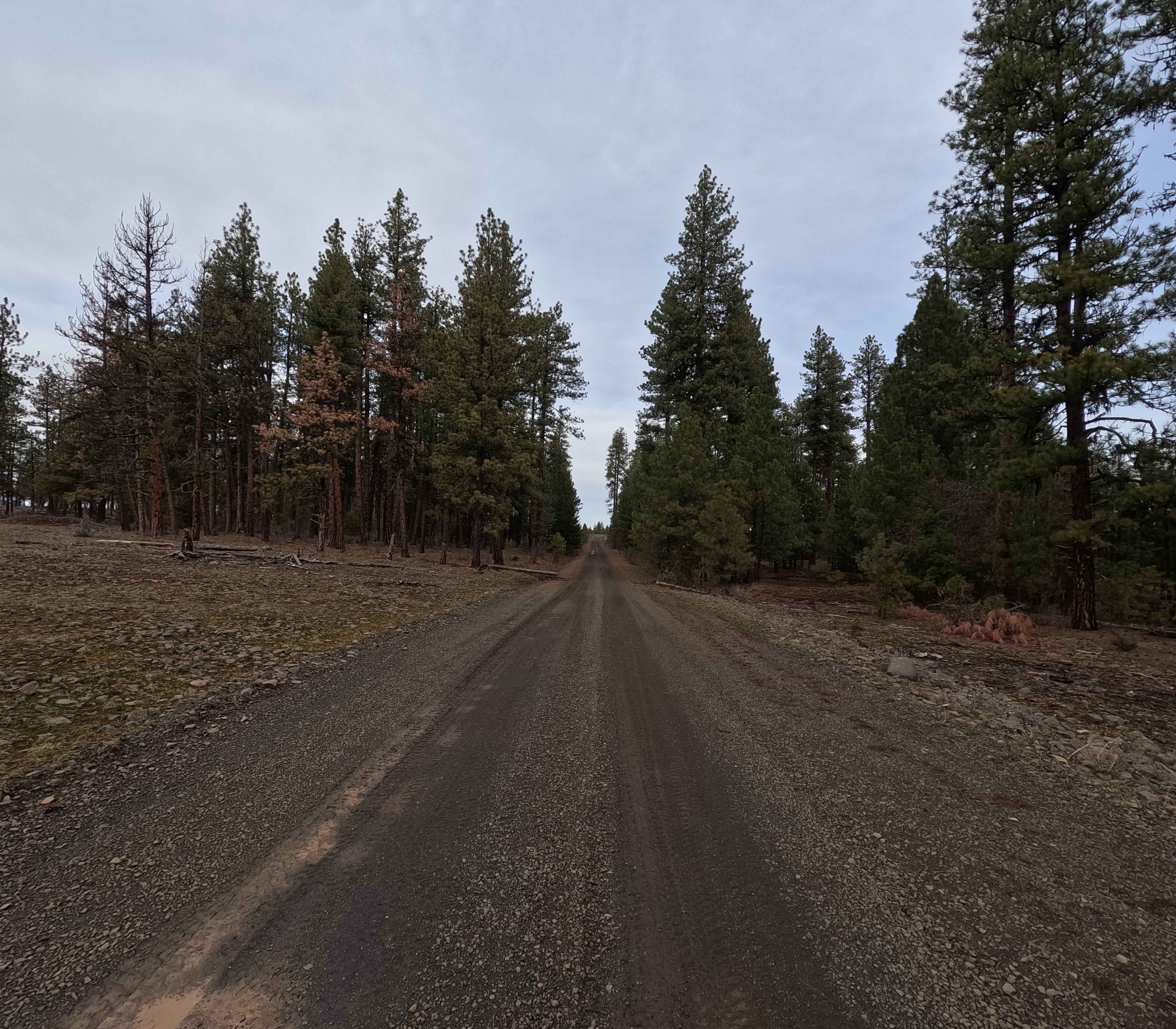
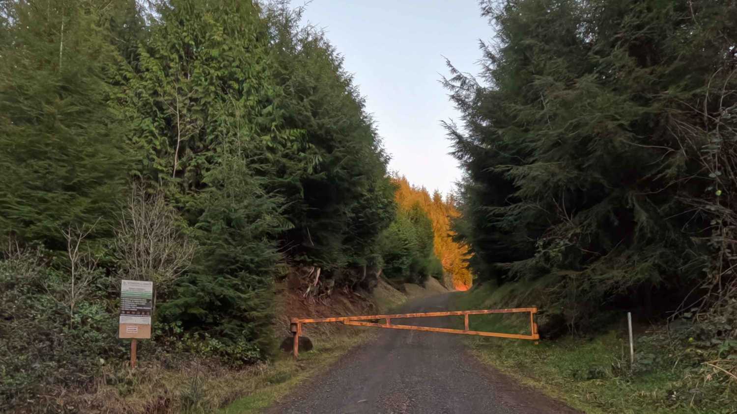
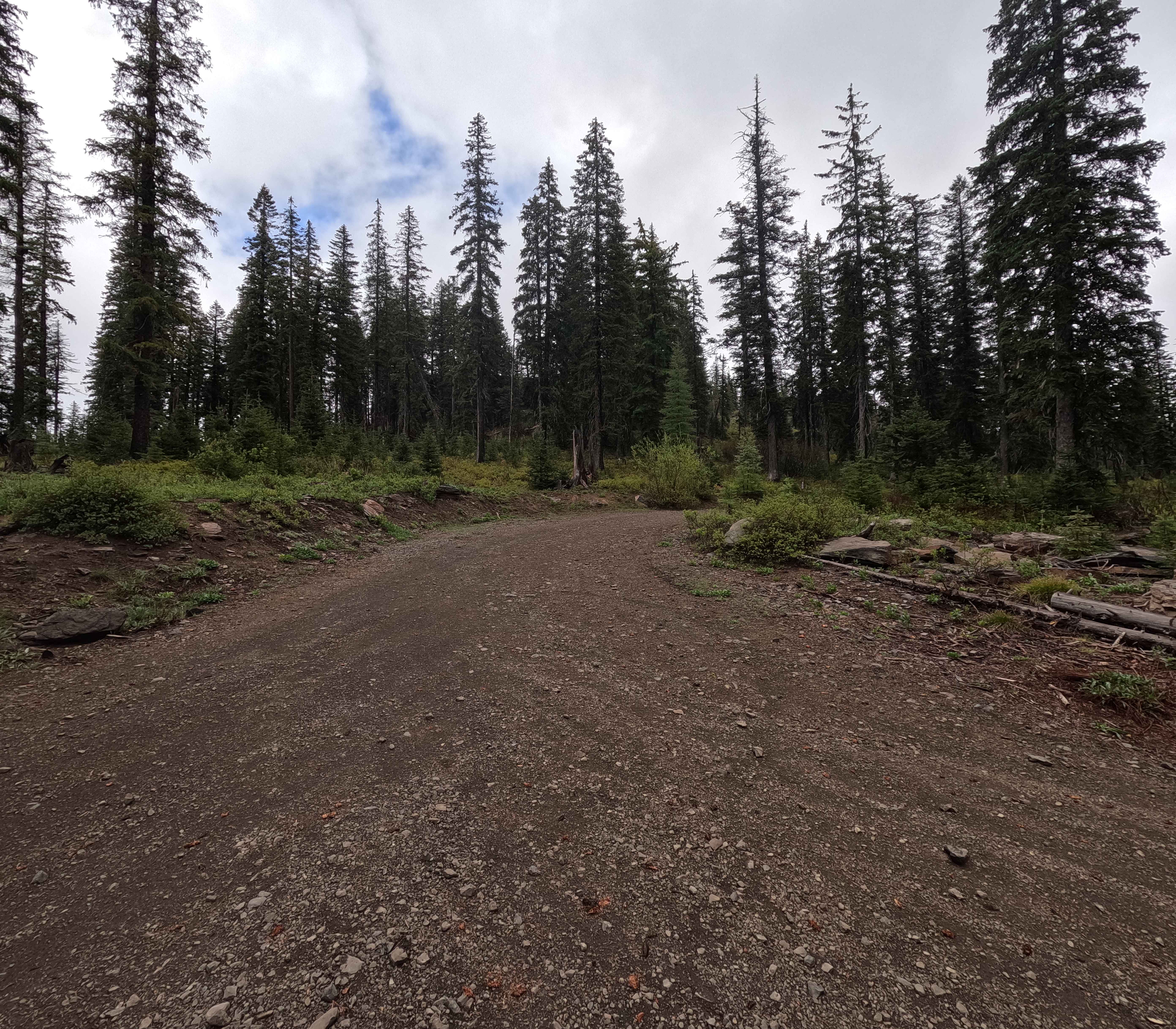
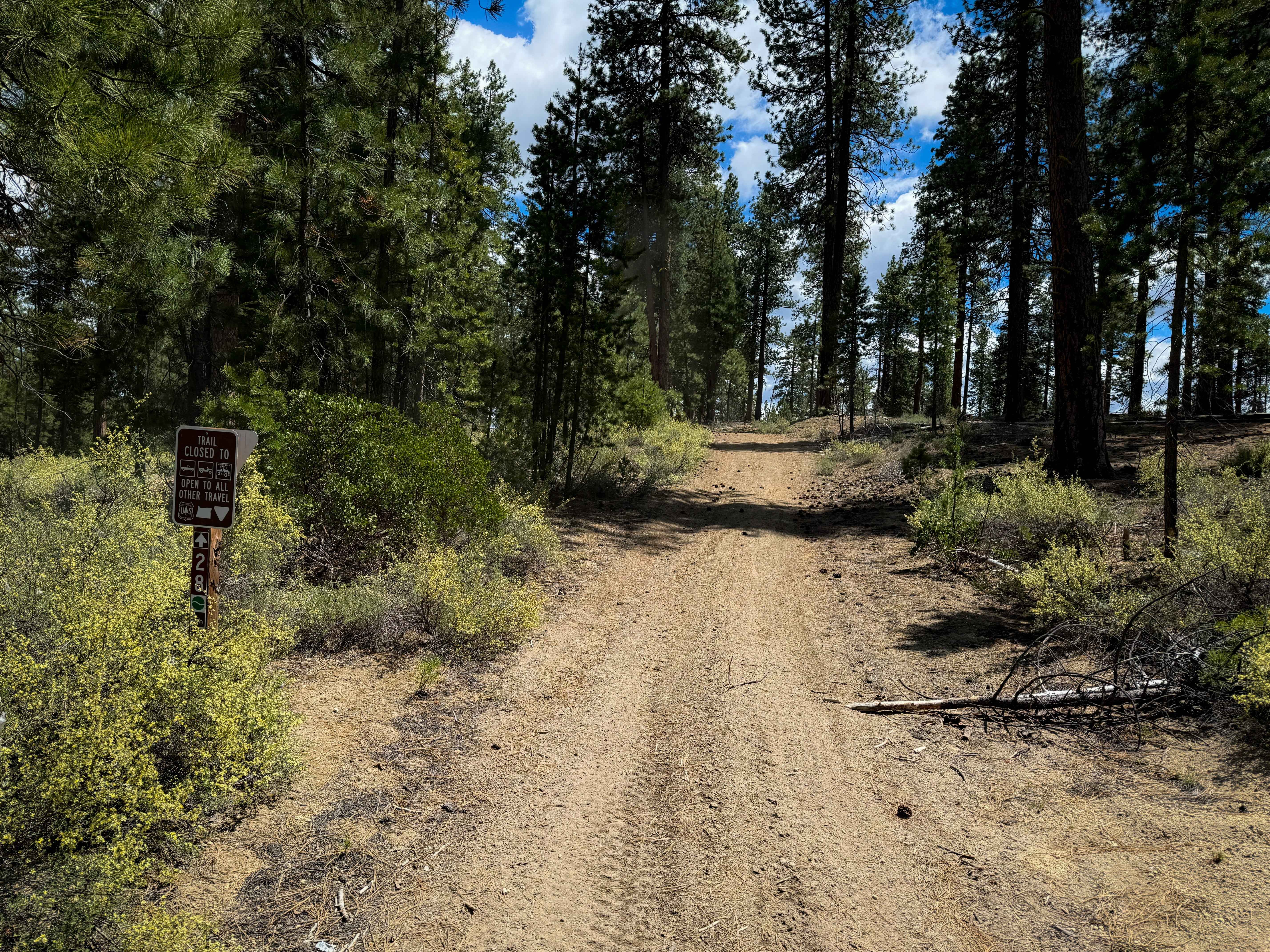
FS 2104 is a 12.5-mile point-to-point trail beginning at its intersection with FS 21 as a wide gravel road. This quickly changes once the trail narrows past an unmistakable 'Travel at Own Risk' warning sign. The trail narrows to a single lane and becomes a steep shelf road featuring deep ruts, off-camber sections, small creek crossings, and stunning views of the rugged ridgelines this corner of Oregon is known for. The mix of obstacles and rock gardens makes this a slow-going trail. Keep an eye out for the large elk herd that calls this area home. The trail terminates at a seasonal gate near the BLM-Umatilla National Forest border, which is closed from December 1st through April 15th. This section of FS 2104 is accessible year-round.
Photos of FS 2104
Difficulty
Featuring steep descents, off-camber sections, and deep ruts, a minimum of 33-inch tires and four-wheel drive is highly recommended. If attempting to cross the deep ruts at mile 11.3, 37-inch tires and traction aids such as lockers are required. A bypass route ascends the embankment and circumvents these ruts, but it is steep. Weather conditions such as rain and snow may greatly increase difficulty. A chainsaw or other equipment for moving fallen trees is highly recommended.
Status Reports
FS 2104 can be accessed by the following ride types:
- High-Clearance 4x4
- SUV
- SxS (60")
- ATV (50")
- Dirt Bike
FS 2104 Map
Popular Trails
Simmons Ridge Road

Dirt Road Dash
The onX Offroad Difference
onX Offroad combines trail photos, descriptions, difficulty ratings, width restrictions, seasonality, and more in a user-friendly interface. Available on all devices, with offline access and full compatibility with CarPlay and Android Auto. Discover what you’re missing today!