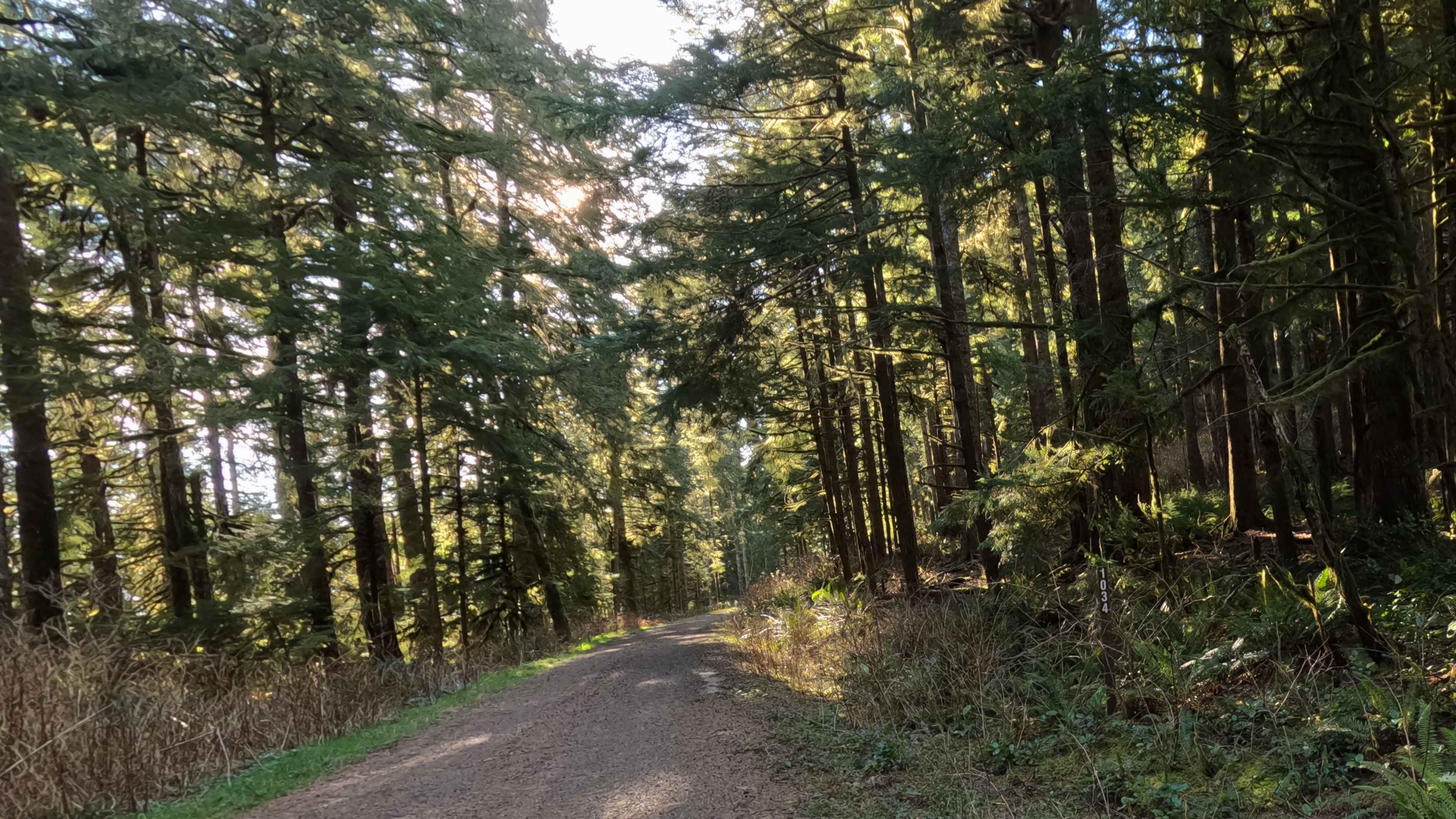
Off-Road Trails in Oregon
Discover off-road trails in Oregon
Learn more about Elliot Creek #25
Elliot Creek #25
Total Miles
3.2
Tech Rating
Moderate
Best Time
Spring, Fall
Learn more about Ellis / Fire Road Crossover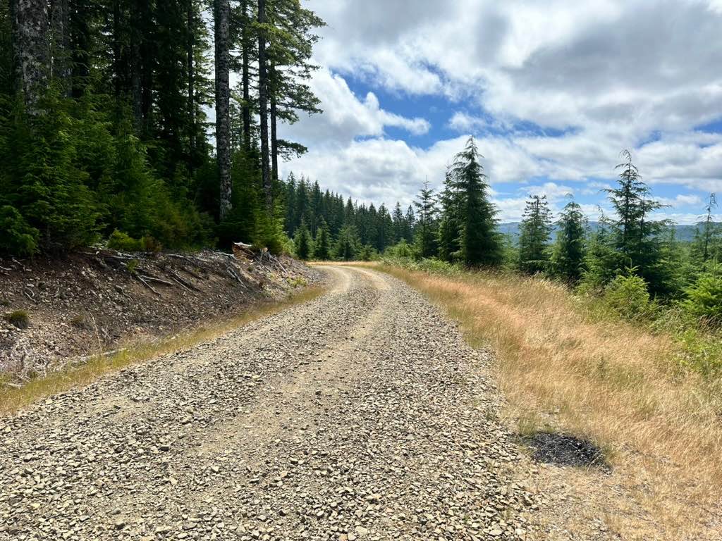
Ellis / Fire Road Crossover
Total Miles
1.7
Tech Rating
Easy
Best Time
Fall, Spring


Learn more about Endless Prarie Road 697
Endless Prarie Road 697
Total Miles
9.4
Tech Rating
Easy
Best Time
Summer, Fall, Spring

Learn more about Entrance to Burnt Flat Road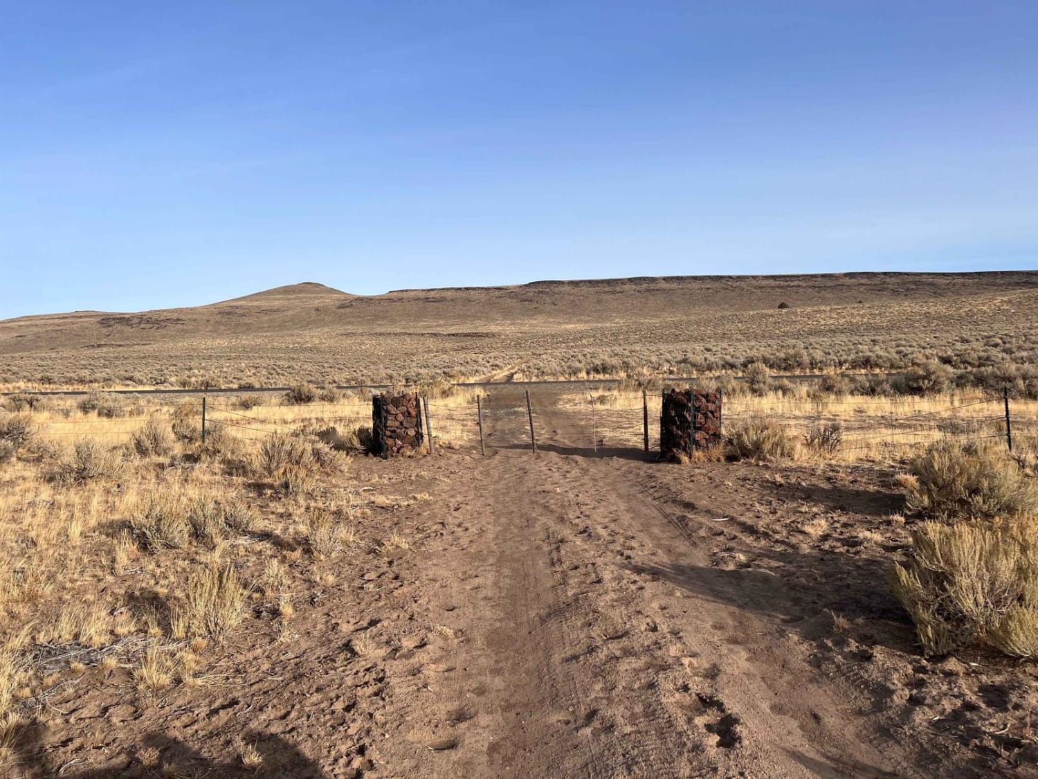
Entrance to Burnt Flat Road
Total Miles
0.6
Tech Rating
Easy
Best Time
Spring, Summer, Fall
Learn more about Fenwick Road Switchbacks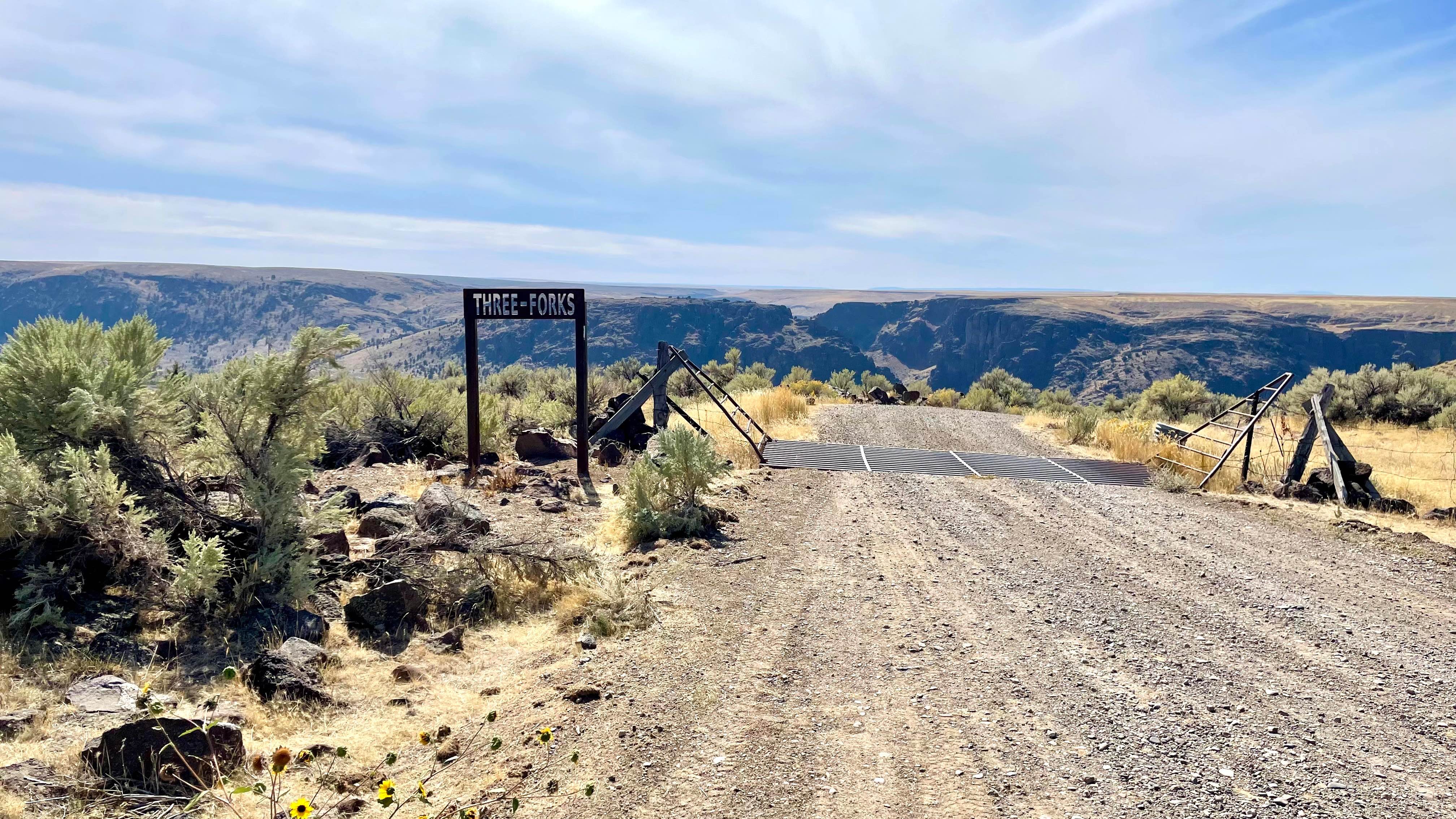
Fenwick Road Switchbacks
Total Miles
1.4
Tech Rating
Moderate
Best Time
Spring, Summer, Fall
Learn more about Fern Gully #49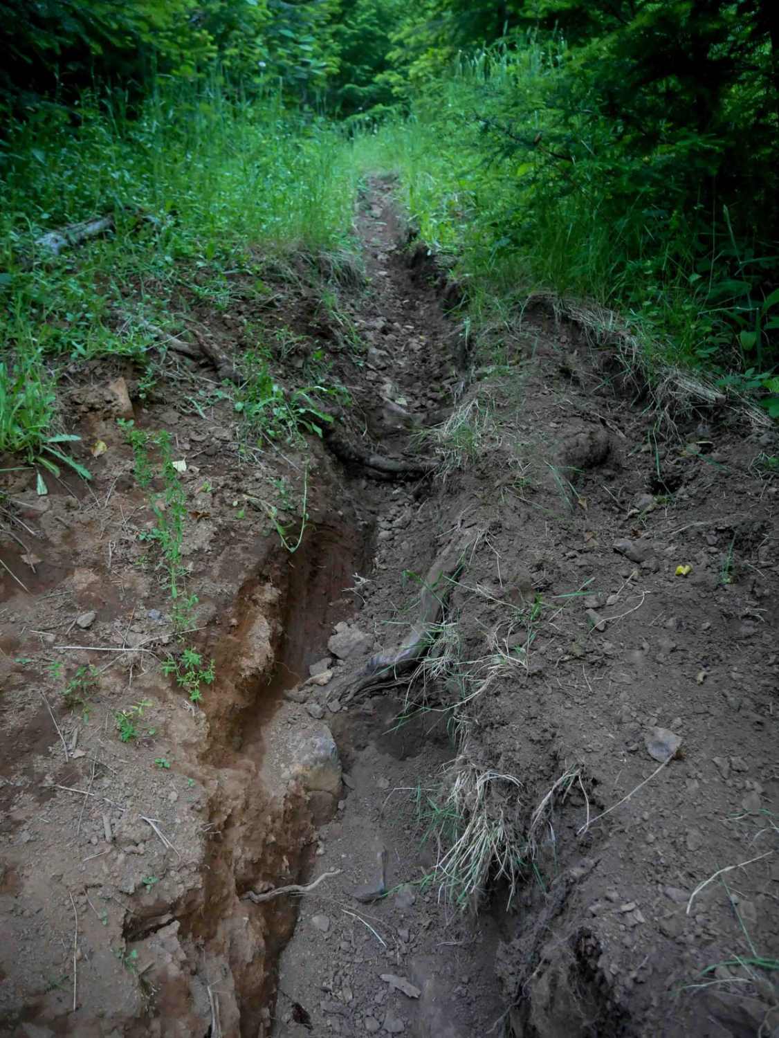
Fern Gully #49
Total Miles
0.6
Tech Rating
Difficult
Best Time
Spring, Fall
Learn more about Finley Butte
Finley Butte
Total Miles
2.1
Tech Rating
Easy
Best Time
Spring, Summer, Fall, Winter
Learn more about Fire Road 2
Fire Road 2
Total Miles
2.7
Tech Rating
Easy
Best Time
Spring, Summer, Fall, Winter
Learn more about Firebreak 3 East
Firebreak 3 East
Total Miles
6.0
Tech Rating
Easy
Best Time
Spring, Summer, Fall
Learn more about Firebreak 3 West
Firebreak 3 West
Total Miles
5.8
Tech Rating
Easy
Best Time
Spring, Summer, Fall
Learn more about Firebreak 5 Jeep Badge of Honor Trail
Firebreak 5 Jeep Badge of Honor Trail
Total Miles
2.0
Tech Rating
Difficult
Best Time
Spring, Summer, Fall, Winter


Learn more about Fish Creek Gorge Overlook
Fish Creek Gorge Overlook
Total Miles
0.6
Tech Rating
Easy
Best Time
Summer, Fall
Learn more about Fish Lake - Twin Lakes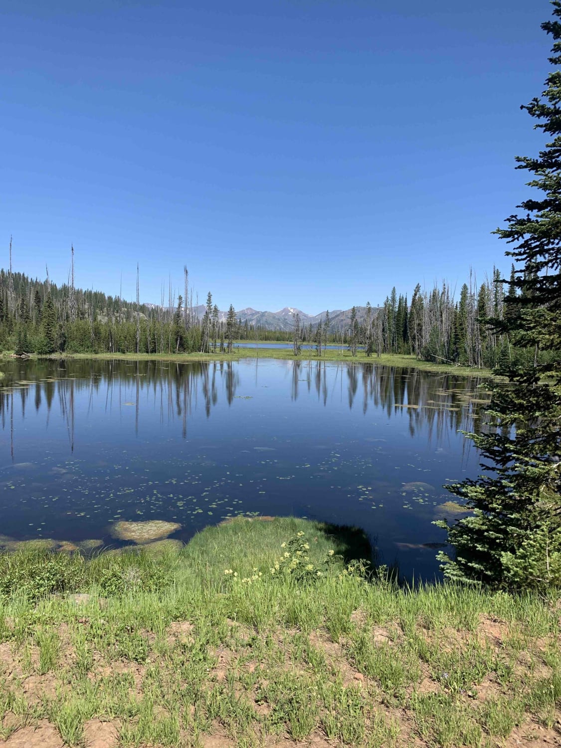
Fish Lake - Twin Lakes
Total Miles
32.2
Tech Rating
Easy
Best Time
Summer
ATV trails in Oregon


UTV/side-by-side trails in Oregon
Learn more about 10 Mile OHV Trail
10 Mile OHV Trail
Total Miles
1.6
Tech Rating
Easy
Best Time
Spring, Summer, Fall


The onX Offroad Difference
onX Offroad combines trail photos, descriptions, difficulty ratings, width restrictions, seasonality, and more in a user-friendly interface. Available on all devices, with offline access and full compatibility with CarPlay and Android Auto. Discover what you’re missing today!