Off-Road Trails in Oregon
Discover off-road trails in Oregon
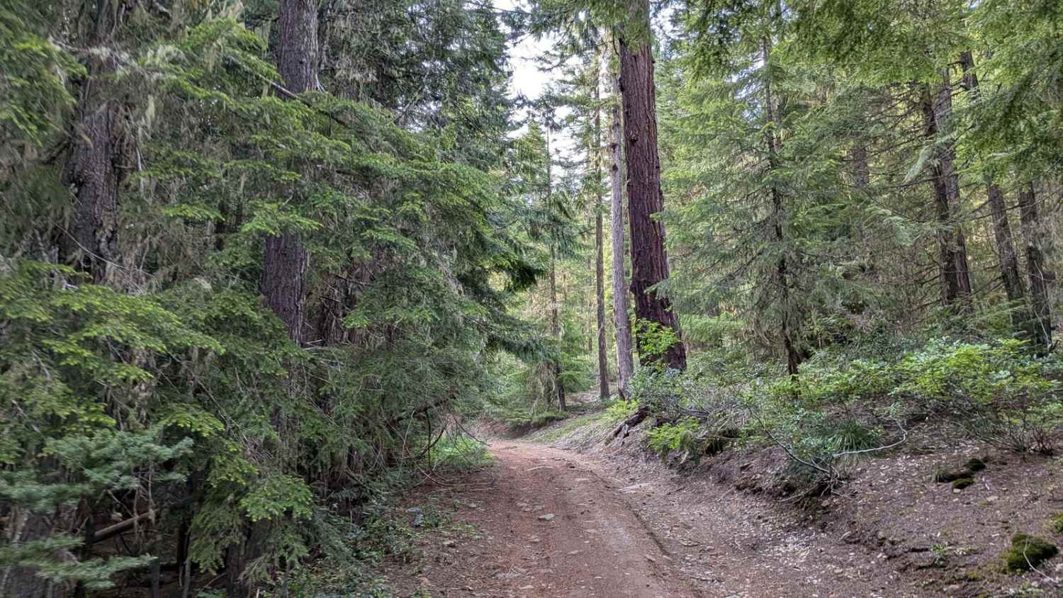
Learn more about Fish Lake Ridge Run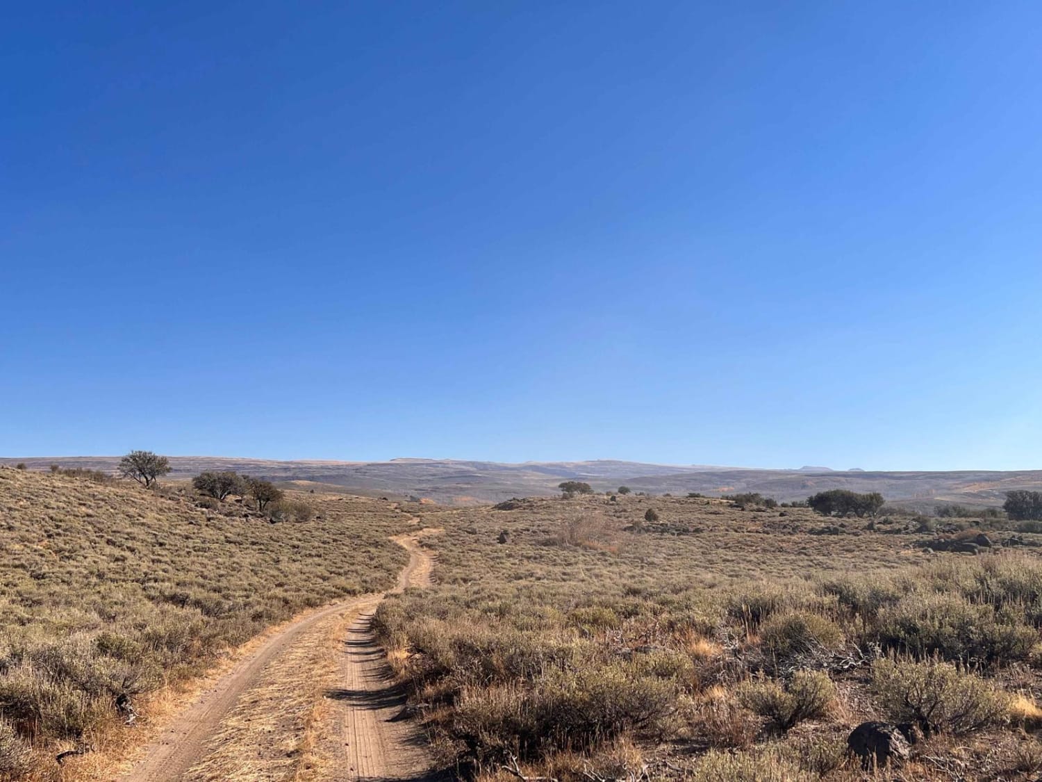
Fish Lake Ridge Run
Total Miles
1.2
Tech Rating
Moderate
Best Time
Fall, Summer
Learn more about Fisher Point 1164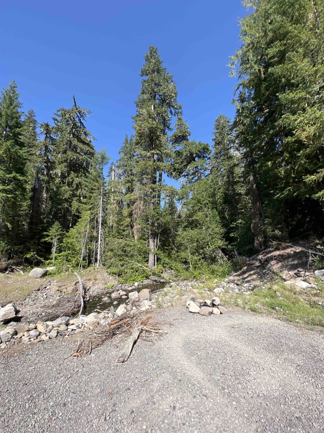
Fisher Point 1164
Total Miles
7.3
Tech Rating
Easy
Best Time
Spring, Summer, Fall
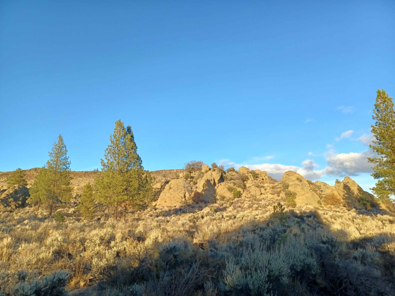
Learn more about Flat Iron Mountain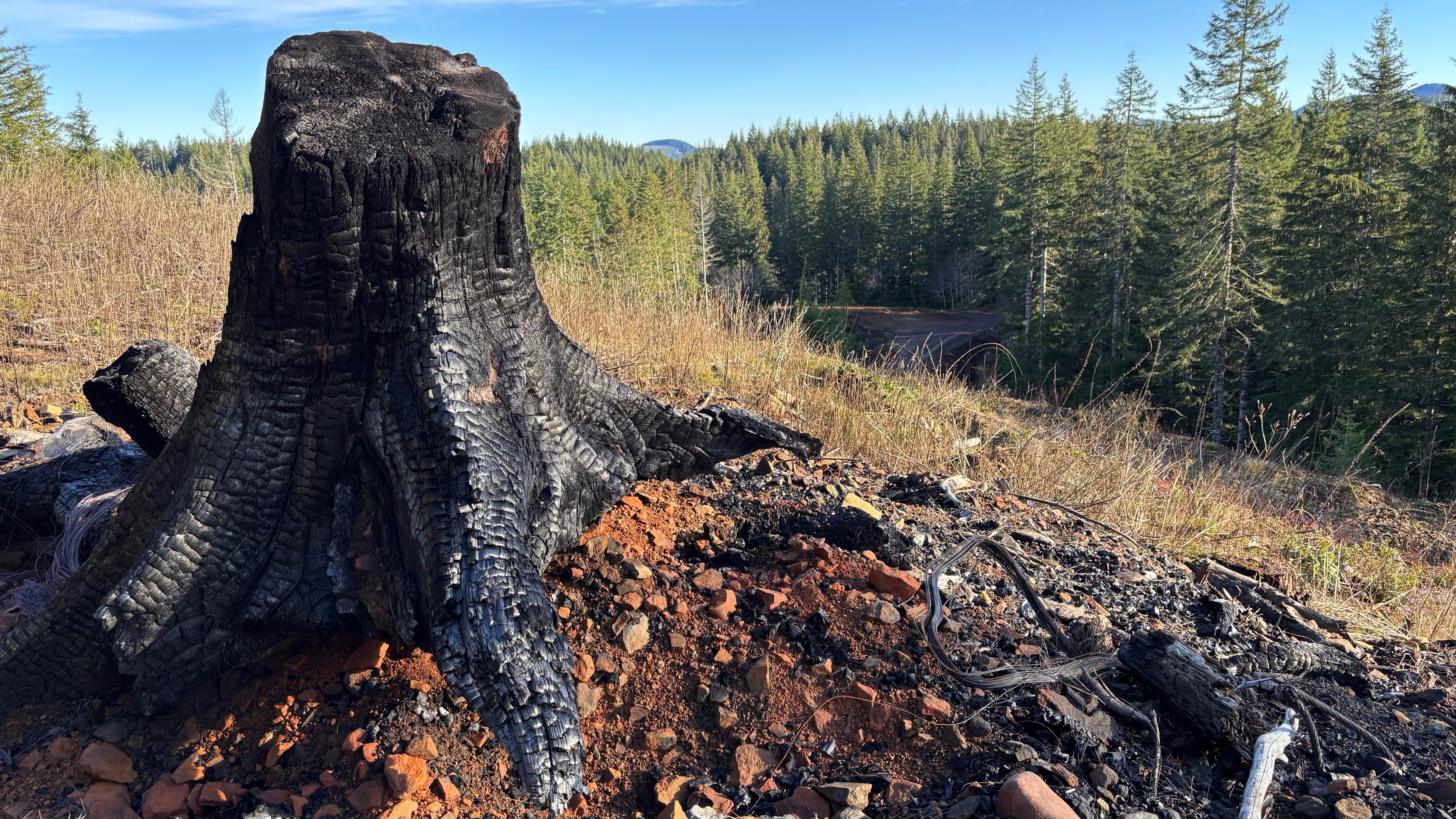
Flat Iron Mountain
Total Miles
4.7
Tech Rating
Easy
Best Time
Spring, Summer, Fall
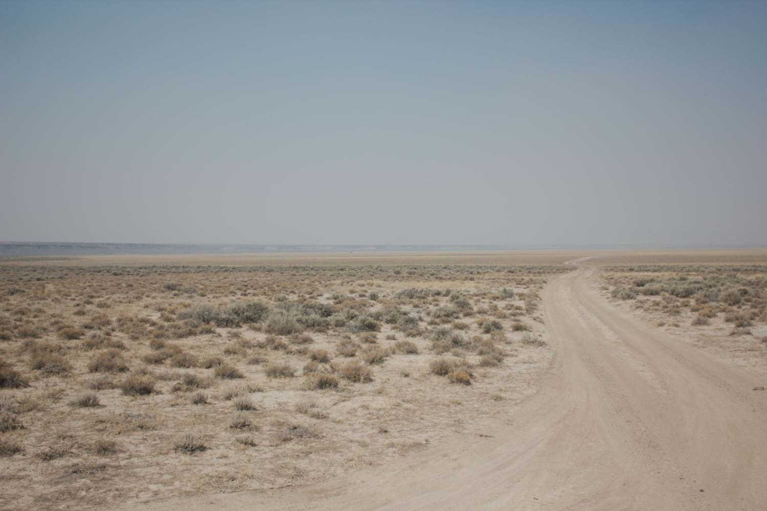
Learn more about Flook Lake Bypass - Hart Mountain Antelope Refuge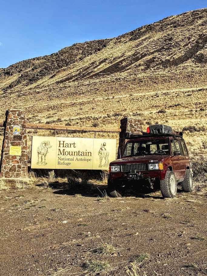
Flook Lake Bypass - Hart Mountain Antelope Refuge
Total Miles
18.1
Tech Rating
Easy
Best Time
Spring, Summer, Fall
Learn more about Forest Road 4100-000
Forest Road 4100-000
Total Miles
7.2
Tech Rating
Easy
Best Time
Spring, Summer, Fall, Winter
Learn more about Forest Road 4130-000
Forest Road 4130-000
Total Miles
4.7
Tech Rating
Moderate
Best Time
Summer, Fall, Winter, Spring
Learn more about Forest Road 4613-000
Forest Road 4613-000
Total Miles
7.3
Tech Rating
Easy
Best Time
Spring, Summer, Fall, Winter
Learn more about Forgotten Waterfall Cliffside Lolo Pass 
Forgotten Waterfall Cliffside Lolo Pass
Total Miles
6.4
Tech Rating
Easy
Best Time
Summer, Fall, Spring, Winter
Learn more about Fox Creek Ridge
Fox Creek Ridge
Total Miles
2.1
Tech Rating
Difficult
Best Time
Spring, Fall
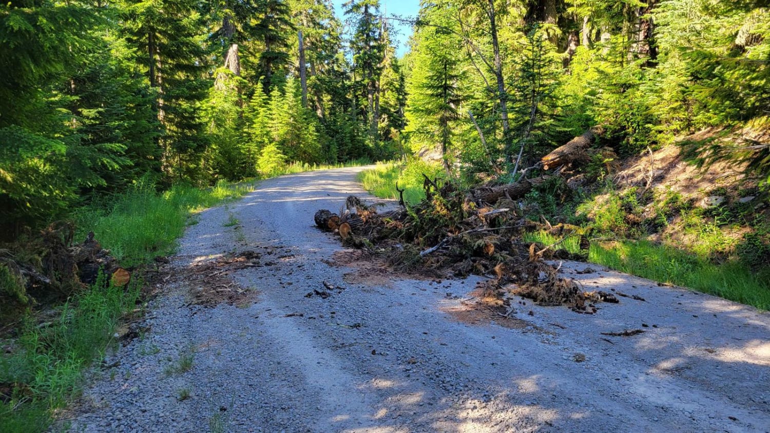
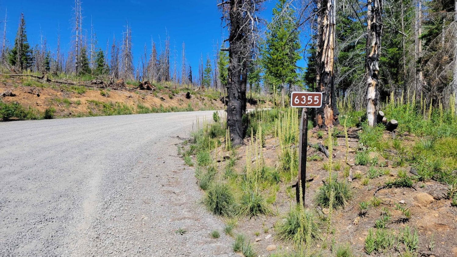
Learn more about FR 6350 - Grahams Pass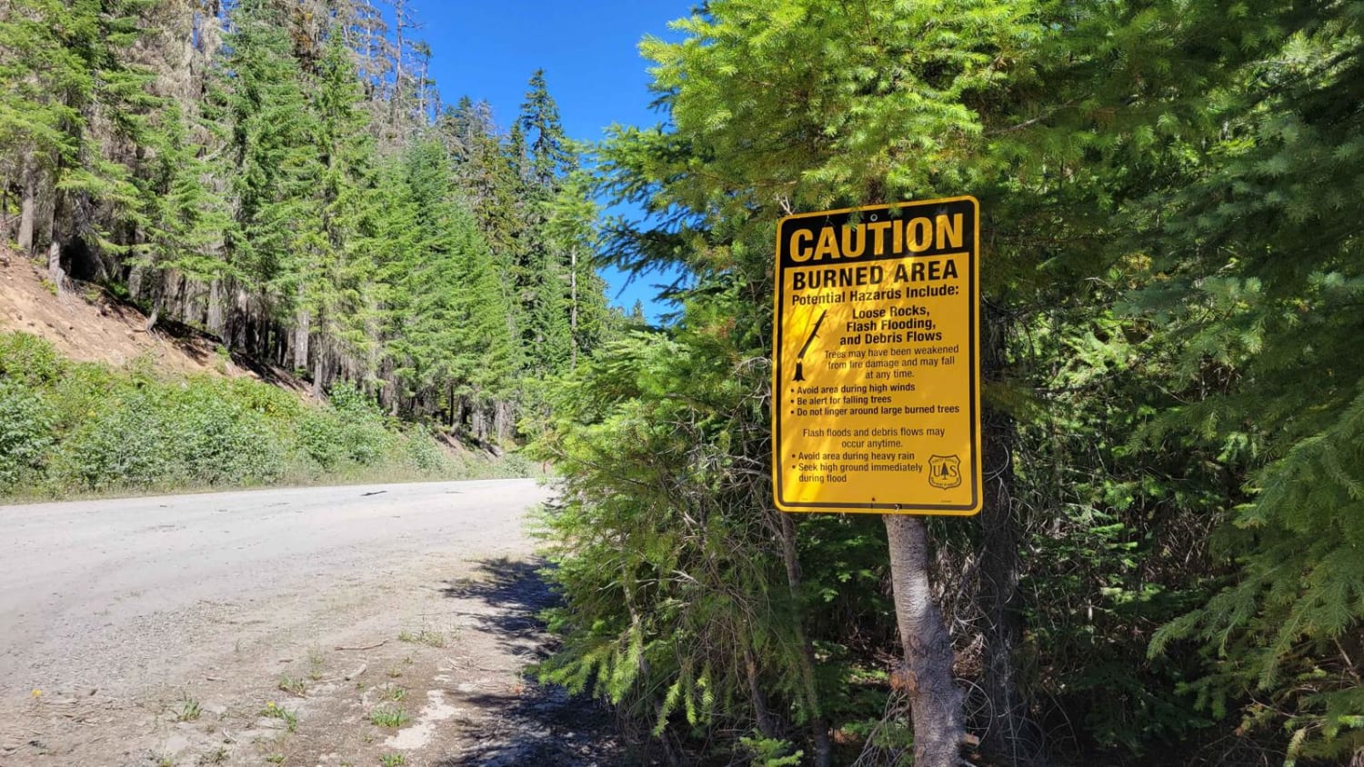
FR 6350 - Grahams Pass
Total Miles
4.8
Tech Rating
Easy
Best Time
Fall, Summer
Learn more about Fraiser Spring and Cabin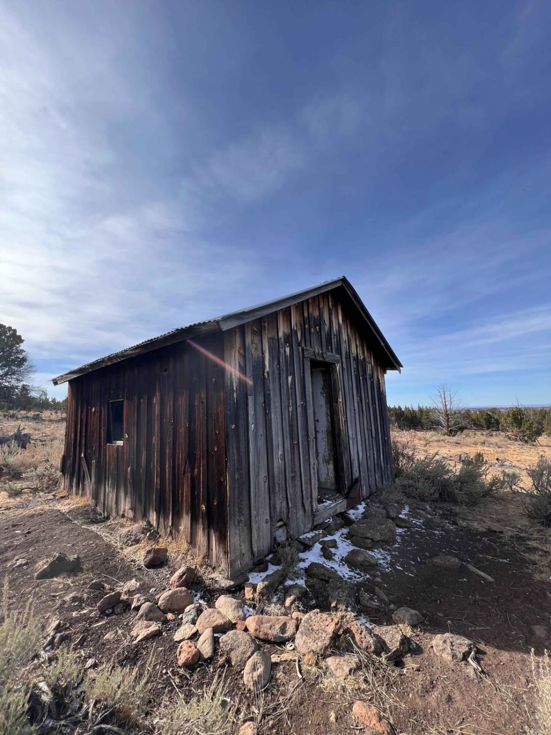
Fraiser Spring and Cabin
Total Miles
1.3
Tech Rating
Easy
Best Time
Summer, Fall

ATV trails in Oregon


UTV/side-by-side trails in Oregon
Learn more about 10 Mile OHV Trail
10 Mile OHV Trail
Total Miles
1.6
Tech Rating
Easy
Best Time
Spring, Summer, Fall


The onX Offroad Difference
onX Offroad combines trail photos, descriptions, difficulty ratings, width restrictions, seasonality, and more in a user-friendly interface. Available on all devices, with offline access and full compatibility with CarPlay and Android Auto. Discover what you’re missing today!