Off-Road Trails in Oregon
Discover off-road trails in Oregon
Learn more about Hoag Pass Road
Hoag Pass Road
Total Miles
4.8
Tech Rating
Easy
Best Time
Spring, Summer, Fall
Learn more about Hoffman Road
Hoffman Road
Total Miles
2.1
Tech Rating
Easy
Best Time
Spring, Fall, Summer, Winter
Learn more about Hole In The Ground
Hole In The Ground
Total Miles
4.3
Tech Rating
Easy
Best Time
Summer, Spring, Fall
Learn more about Hole in the Ground Loop - FS 3130
Hole in the Ground Loop - FS 3130
Total Miles
3.0
Tech Rating
Easy
Best Time
Spring, Summer, Fall
Learn more about Honeycomb Wilderness Trail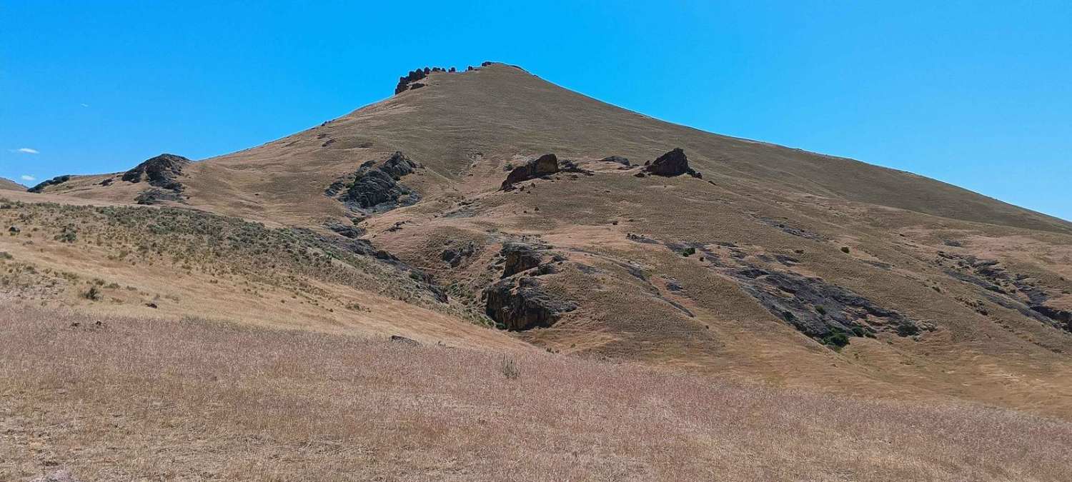
Honeycomb Wilderness Trail
Total Miles
3.0
Tech Rating
Moderate
Best Time
Summer, Spring, Fall
Learn more about Hood River OHV 160 to 140 to 133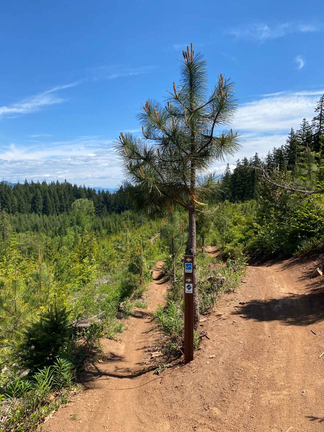
Hood River OHV 160 to 140 to 133
Total Miles
3.6
Tech Rating
Moderate
Best Time
Spring, Fall
Learn more about Hoodoo - FS 6214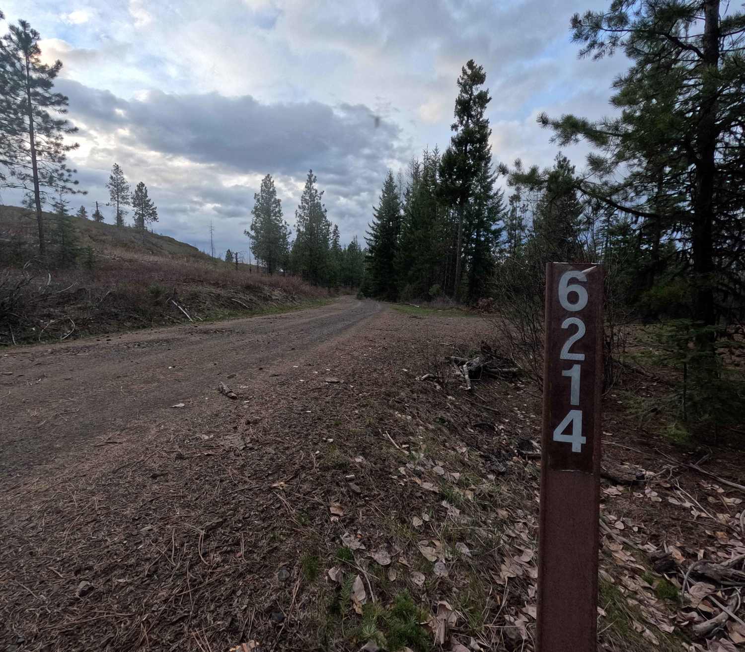
Hoodoo - FS 6214
Total Miles
9.9
Tech Rating
Easy
Best Time
Spring, Summer, Fall
Learn more about Horn Creek 2257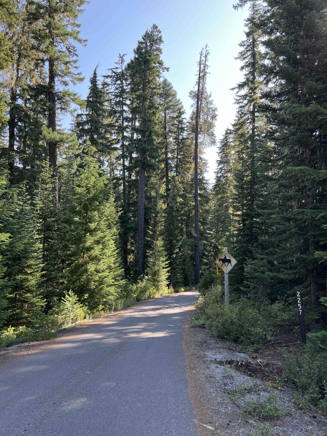
Horn Creek 2257
Total Miles
11.7
Tech Rating
Easy
Best Time
Summer, Spring, Fall, Winter
Learn more about Horse Creek Road
Horse Creek Road
Total Miles
9.4
Tech Rating
Easy
Best Time
Spring, Summer, Fall
Learn more about Horsefall OHV Trail
Horsefall OHV Trail
Total Miles
4.2
Tech Rating
Easy
Best Time
Spring, Summer, Fall


Learn more about Idiot Creek Road
Idiot Creek Road
Total Miles
6.0
Tech Rating
Easy
Best Time
Spring, Summer, Fall
Learn more about Imnaha 676 South
Imnaha 676 South
Total Miles
9.4
Tech Rating
Easy
Best Time
Spring, Summer, Fall
Learn more about Imnaha to Wallowa Mountain Loop
Imnaha to Wallowa Mountain Loop
Total Miles
30.5
Tech Rating
Easy
Best Time
Summer, Spring, Fall
Learn more about Incense Cedar Loop
Incense Cedar Loop
Total Miles
5.9
Tech Rating
Easy
Best Time
Spring, Summer, Fall
Learn more about Ironside Mine 1925
Ironside Mine 1925
Total Miles
11.1
Tech Rating
Easy
Best Time
Spring, Summer, Fall
ATV trails in Oregon


UTV/side-by-side trails in Oregon
Learn more about 10 Mile OHV Trail
10 Mile OHV Trail
Total Miles
1.6
Tech Rating
Easy
Best Time
Spring, Summer, Fall


The onX Offroad Difference
onX Offroad combines trail photos, descriptions, difficulty ratings, width restrictions, seasonality, and more in a user-friendly interface. Available on all devices, with offline access and full compatibility with CarPlay and Android Auto. Discover what you’re missing today!