Imnaha 676 South
Total Miles
9.4
Technical Rating
Best Time
Spring, Summer, Fall
Trail Type
Full-Width Road
Accessible By
Trail Overview
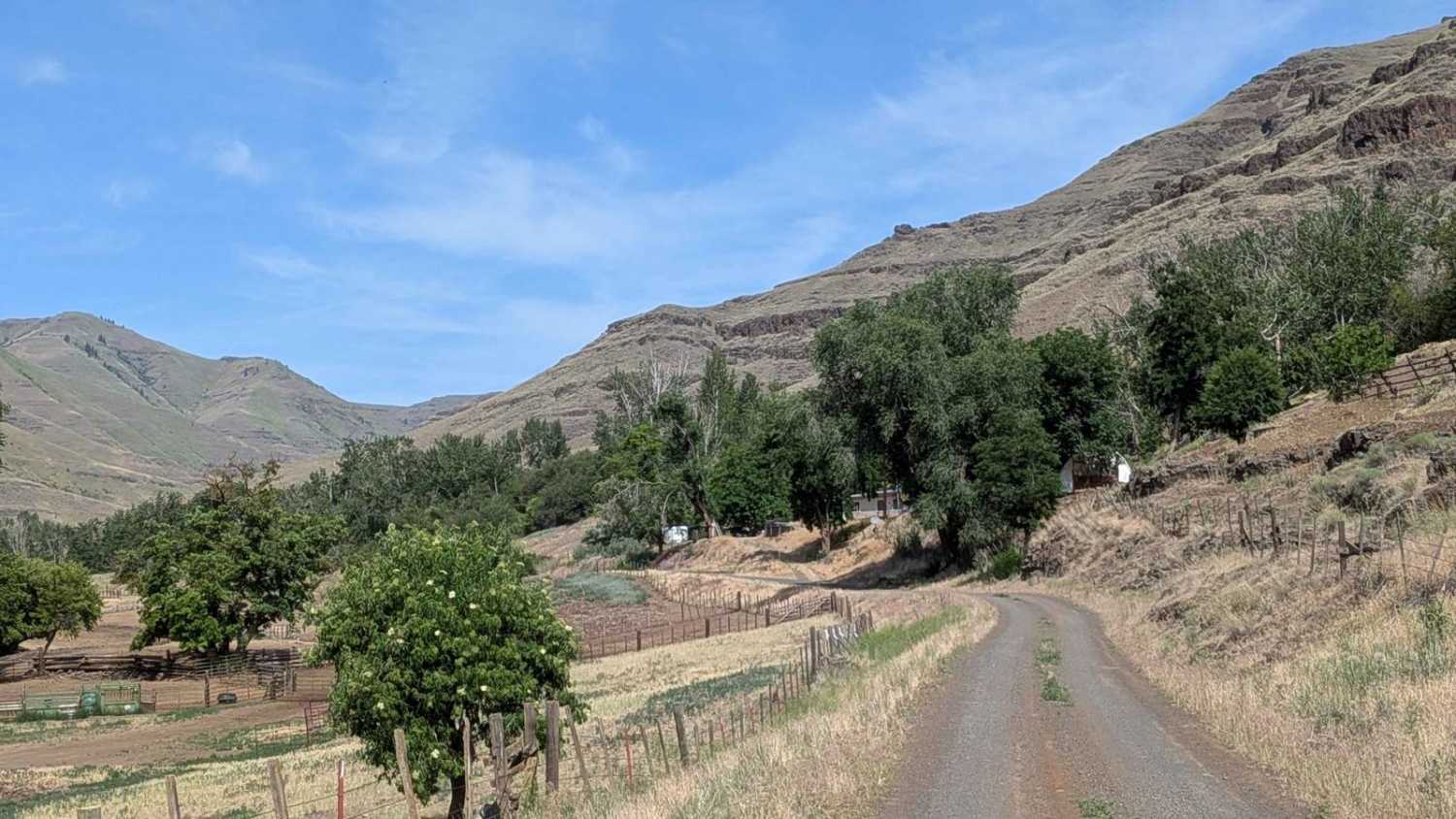
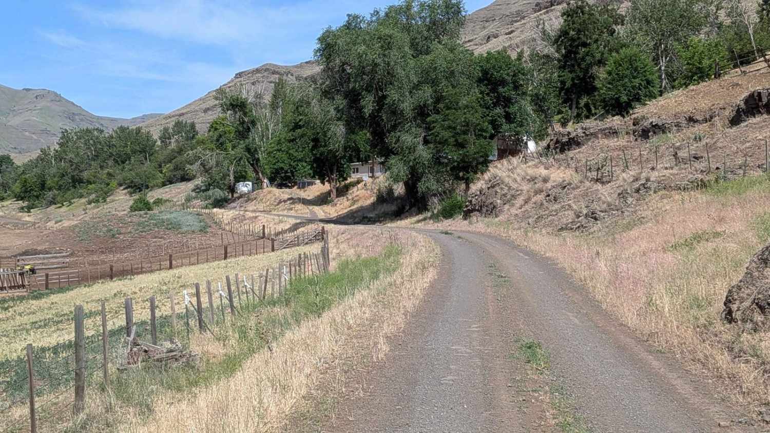
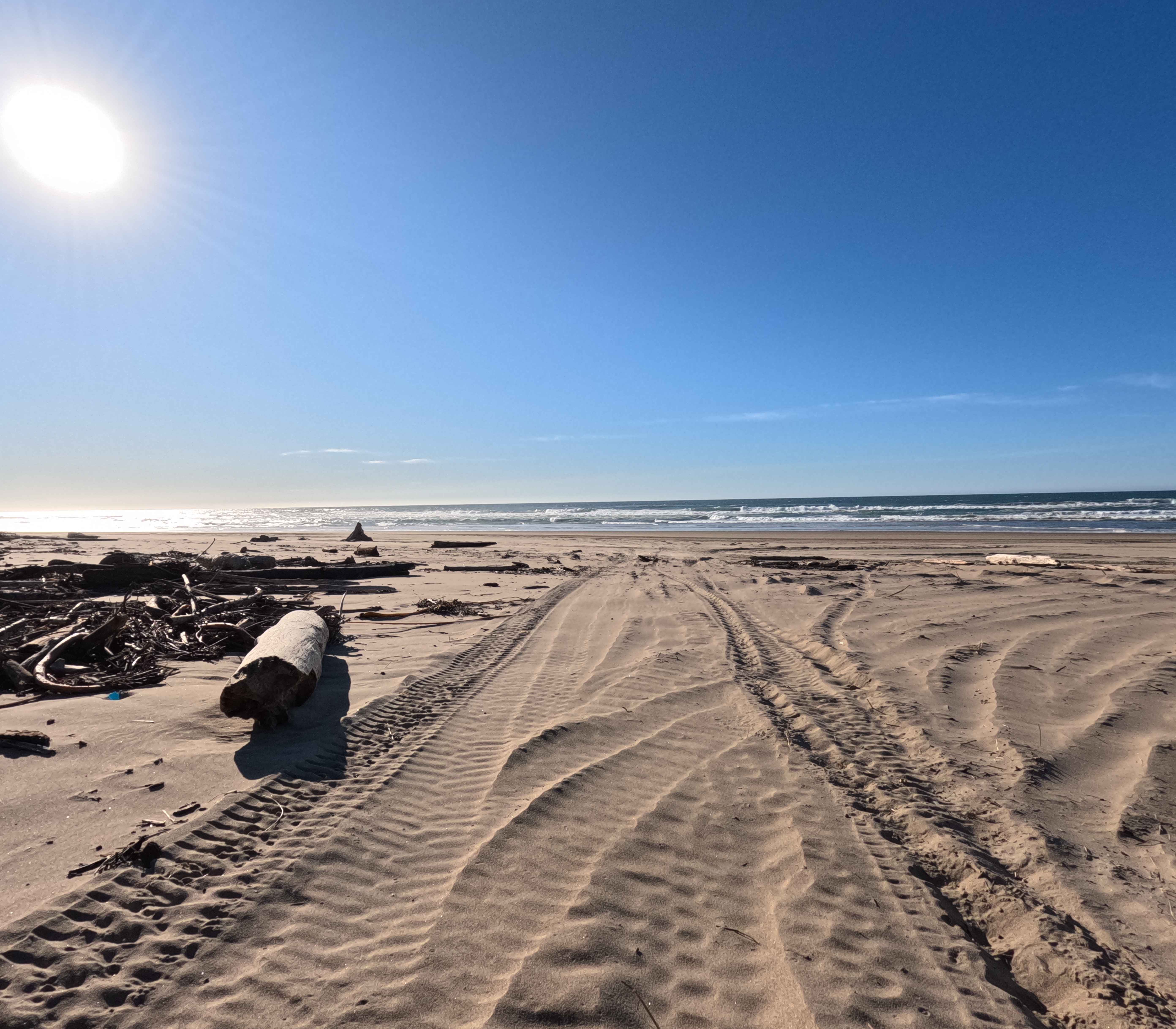
Imnaha 676 is a scenic backcountry route that begins near Imnaha and winds north through a narrow canyon, eventually reaching the gate to the Zumwelt Prairie Preserve. The gravel road starts relatively smooth, passing cattle farms and open country before narrowing into a brush-lined corridor surrounded by trees. As the trail continues north, the road becomes rockier and more uneven, offering a more rugged experience. The route follows the canyon floor, providing beautiful views of surrounding rock walls and the evolving landscape. Around mile 6.5 and 7, drivers will encounter two water crossings, which may be shallow or more challenging depending on recent weather.
Photos of Imnaha 676 South
Difficulty
This trail is rated a 2 due to rocky, uneven terrain, narrow sections, and water crossings. High clearance is recommended, and 4WD may be required if wet or after storms. Ideal for drivers seeking solitude, scenic canyon driving, and a little extra technical variety without extreme obstacles.
Status Reports
Imnaha 676 South can be accessed by the following ride types:
- High-Clearance 4x4
- SUV
Imnaha 676 South Map
Popular Trails

Kart - FS 1004158
Glass Butte Run
Hauser OHV Trail - 1341
The onX Offroad Difference
onX Offroad combines trail photos, descriptions, difficulty ratings, width restrictions, seasonality, and more in a user-friendly interface. Available on all devices, with offline access and full compatibility with CarPlay and Android Auto. Discover what you’re missing today!