Off-Road Trails in Oregon
Discover off-road trails in Oregon
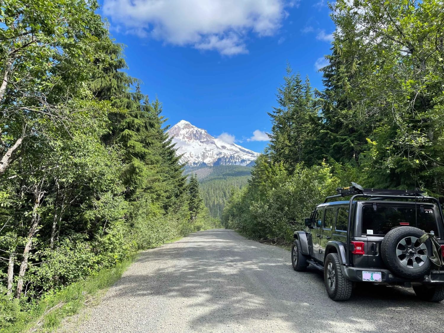
Learn more about Larch Mountain Road
Larch Mountain Road
Total Miles
3.1
Tech Rating
Easy
Best Time
Spring, Summer, Fall
Learn more about Larison Creek Trailhead Upper 1202-101
Larison Creek Trailhead Upper 1202-101
Total Miles
11.1
Tech Rating
Difficult
Best Time
Spring, Summer, Fall
Learn more about Latiwi Creek
Latiwi Creek
Total Miles
10.0
Tech Rating
Easy
Best Time
Spring, Fall, Summer
Learn more about Lauserica Road
Lauserica Road
Total Miles
11.8
Tech Rating
Easy
Best Time
Fall, Summer, Spring
Learn more about Lava Cast Forest 9720
Lava Cast Forest 9720
Total Miles
8.5
Tech Rating
Easy
Best Time
Spring, Summer, Fall
Learn more about Lava Cast Forest Trail
Lava Cast Forest Trail
Total Miles
12.2
Tech Rating
Easy
Best Time
Fall, Summer, Spring
Learn more about Lava Top Bute Caves
Lava Top Bute Caves
Total Miles
1.9
Tech Rating
Easy
Best Time
Spring, Summer, Fall
Learn more about Lava Top Butte Caves
Lava Top Butte Caves
Total Miles
1.9
Tech Rating
Easy
Best Time
Spring, Summer, Fall
Learn more about Laying Creek -Patternson
Laying Creek -Patternson
Total Miles
4.6
Tech Rating
Easy
Best Time
Spring, Summer, Fall

Learn more about Little Badger Creek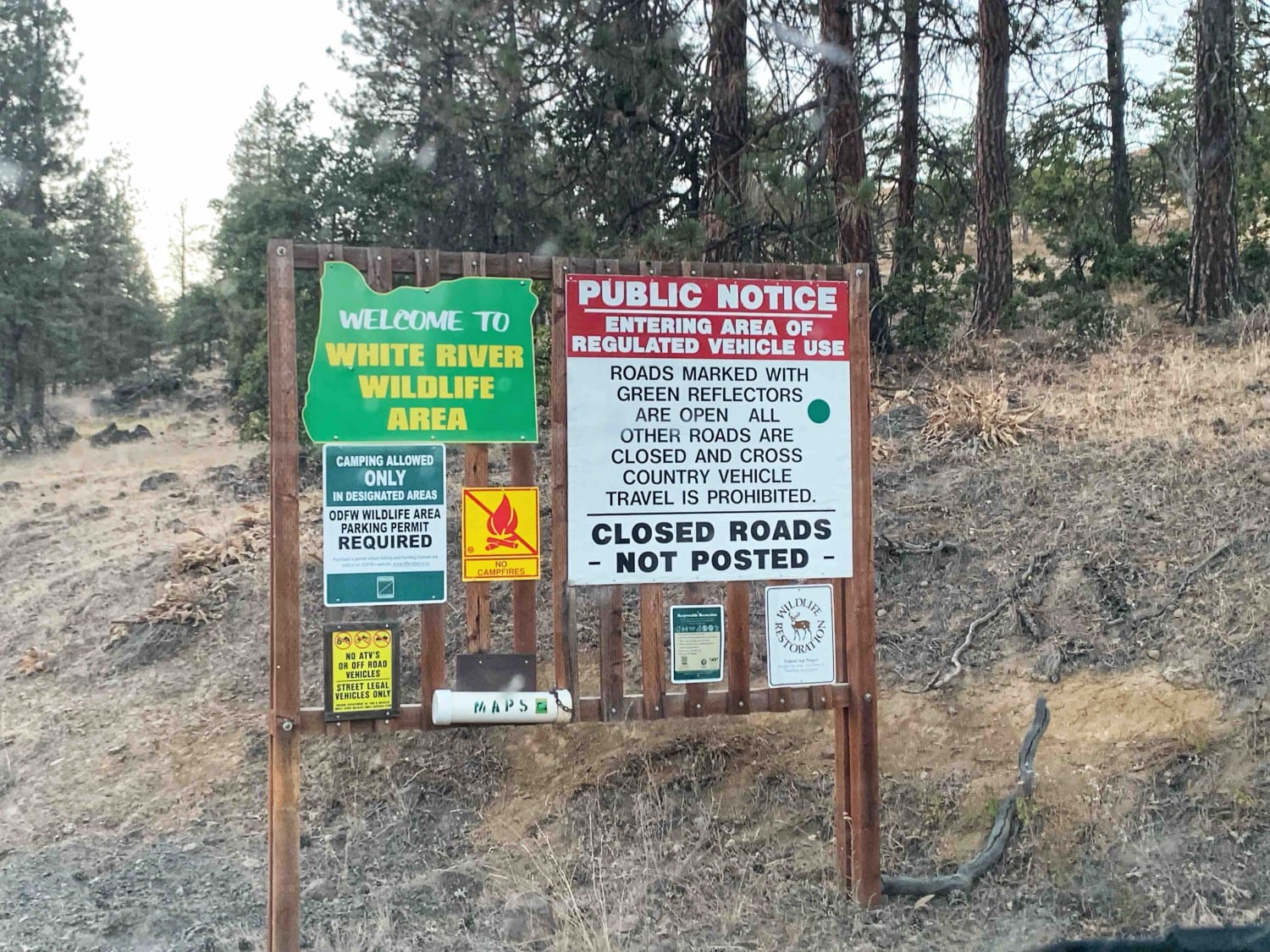
Little Badger Creek
Total Miles
7.3
Tech Rating
Easy
Best Time
Spring, Summer, Fall
Learn more about Little Badger Creek South Road
Little Badger Creek South Road
Total Miles
2.9
Tech Rating
Moderate
Best Time
Fall, Summer, Spring
Learn more about Little Hebo Access
Little Hebo Access
Total Miles
3.8
Tech Rating
Easy
Best Time
Summer, Spring, Fall
Learn more about Little River - Quartz Mountain Rd
Little River - Quartz Mountain Rd
Total Miles
26.1
Tech Rating
Easy
Best Time
Summer
Learn more about Long Green Mountain Lookout Loop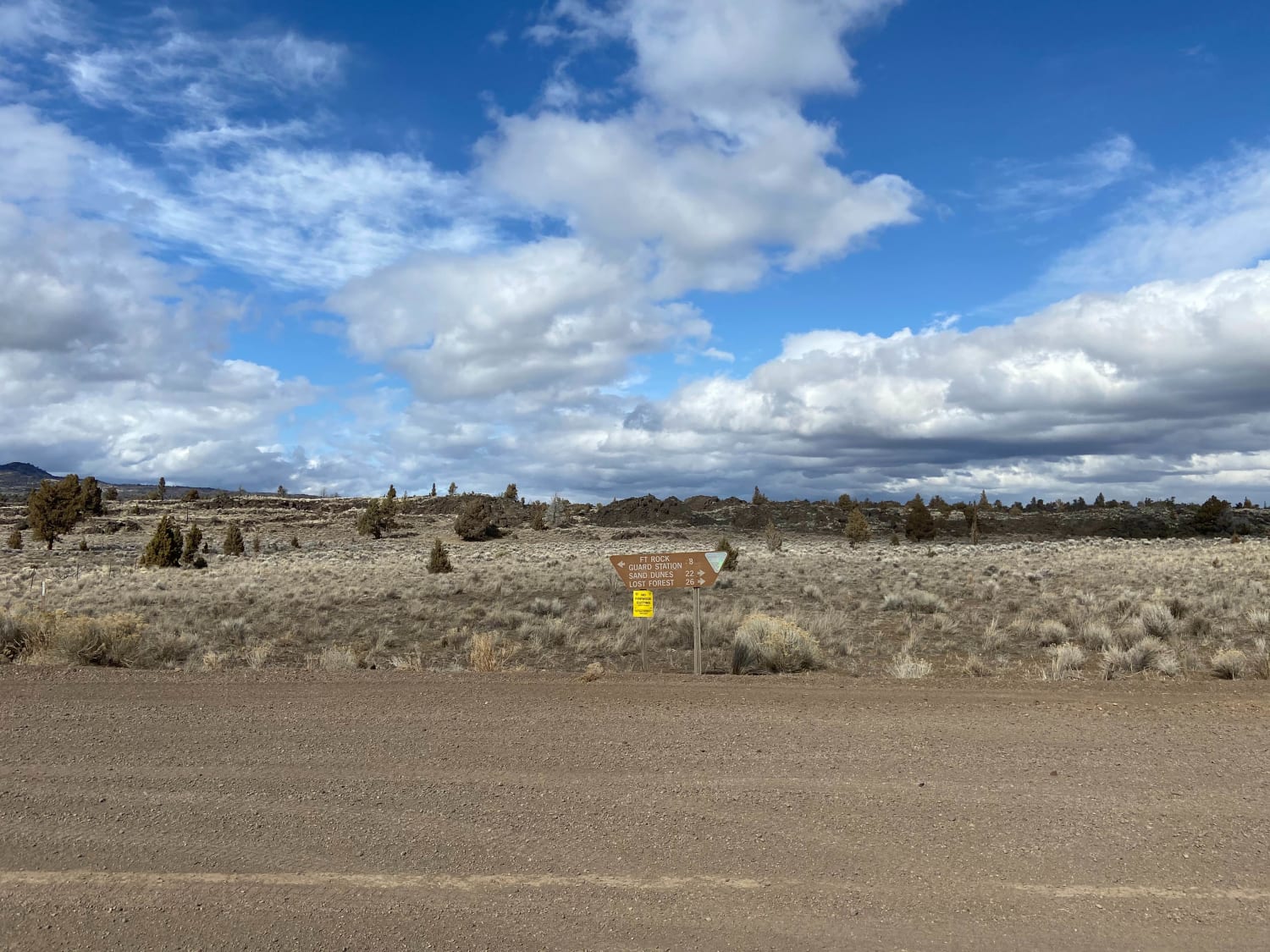
Long Green Mountain Lookout Loop
Total Miles
38.6
Tech Rating
Easy
Best Time
Fall
Learn more about Long Prairie 17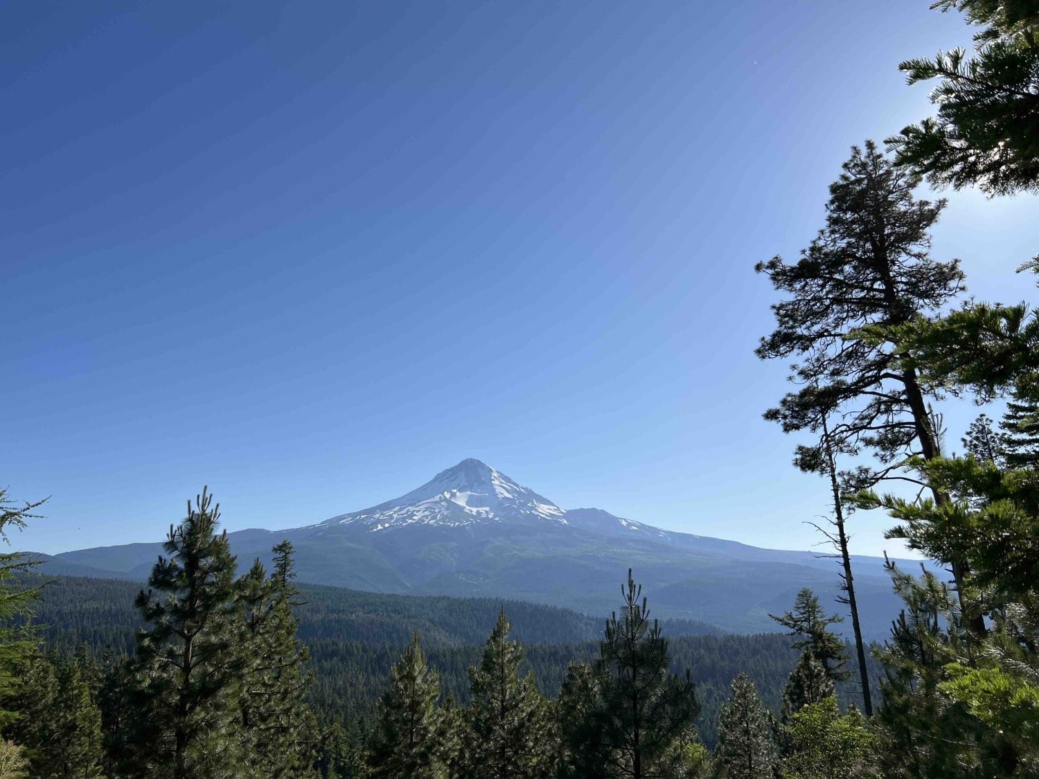
Long Prairie 17
Total Miles
11.0
Tech Rating
Easy
Best Time
Summer, Spring, Fall
Learn more about Long Way to Little Applegate River
Long Way to Little Applegate River
Total Miles
10.6
Tech Rating
Easy
Best Time
Spring, Summer, Fall, Winter
ATV trails in Oregon


UTV/side-by-side trails in Oregon
Learn more about 10 Mile OHV Trail
10 Mile OHV Trail
Total Miles
1.6
Tech Rating
Easy
Best Time
Spring, Summer, Fall


The onX Offroad Difference
onX Offroad combines trail photos, descriptions, difficulty ratings, width restrictions, seasonality, and more in a user-friendly interface. Available on all devices, with offline access and full compatibility with CarPlay and Android Auto. Discover what you’re missing today!