Off-Road Trails in Oregon
Discover off-road trails in Oregon
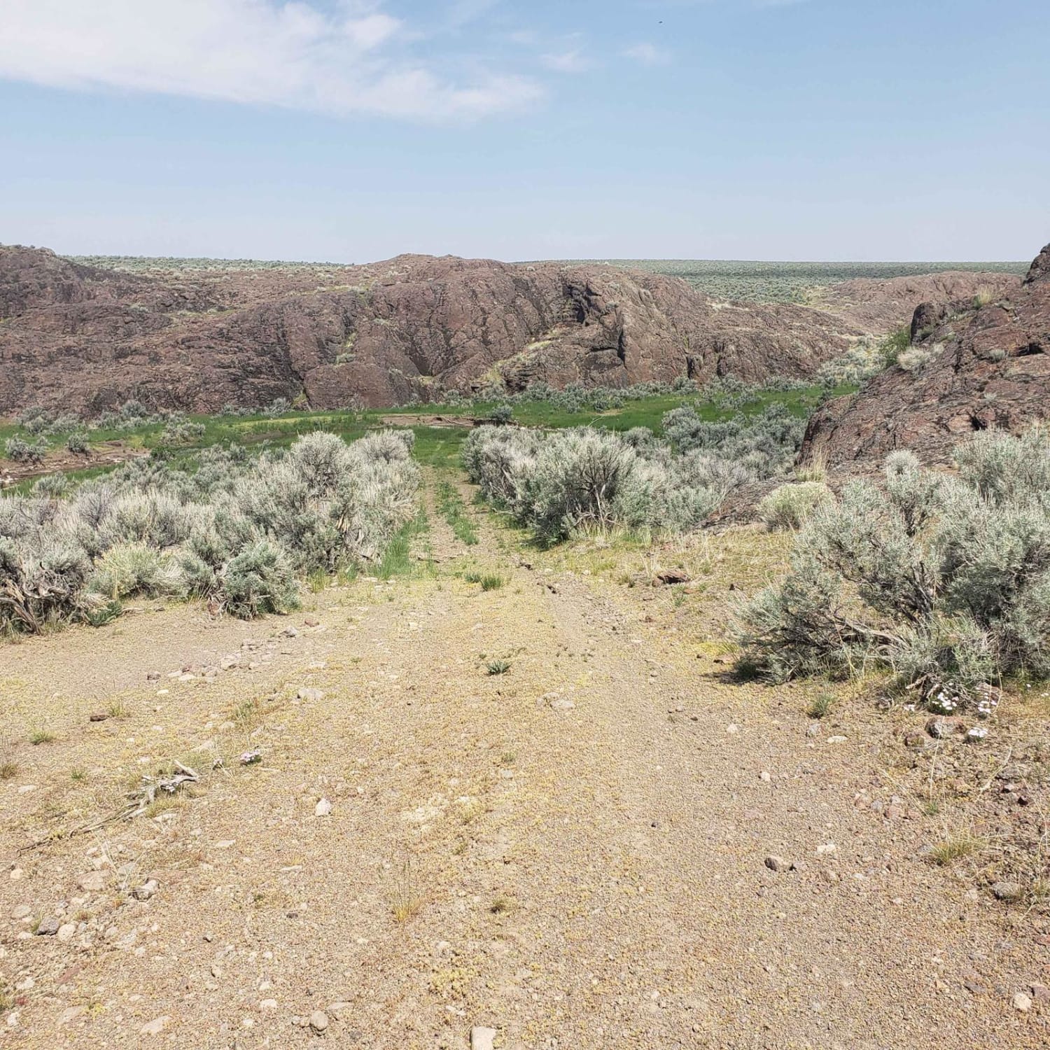
Learn more about Looking Glass - FS 62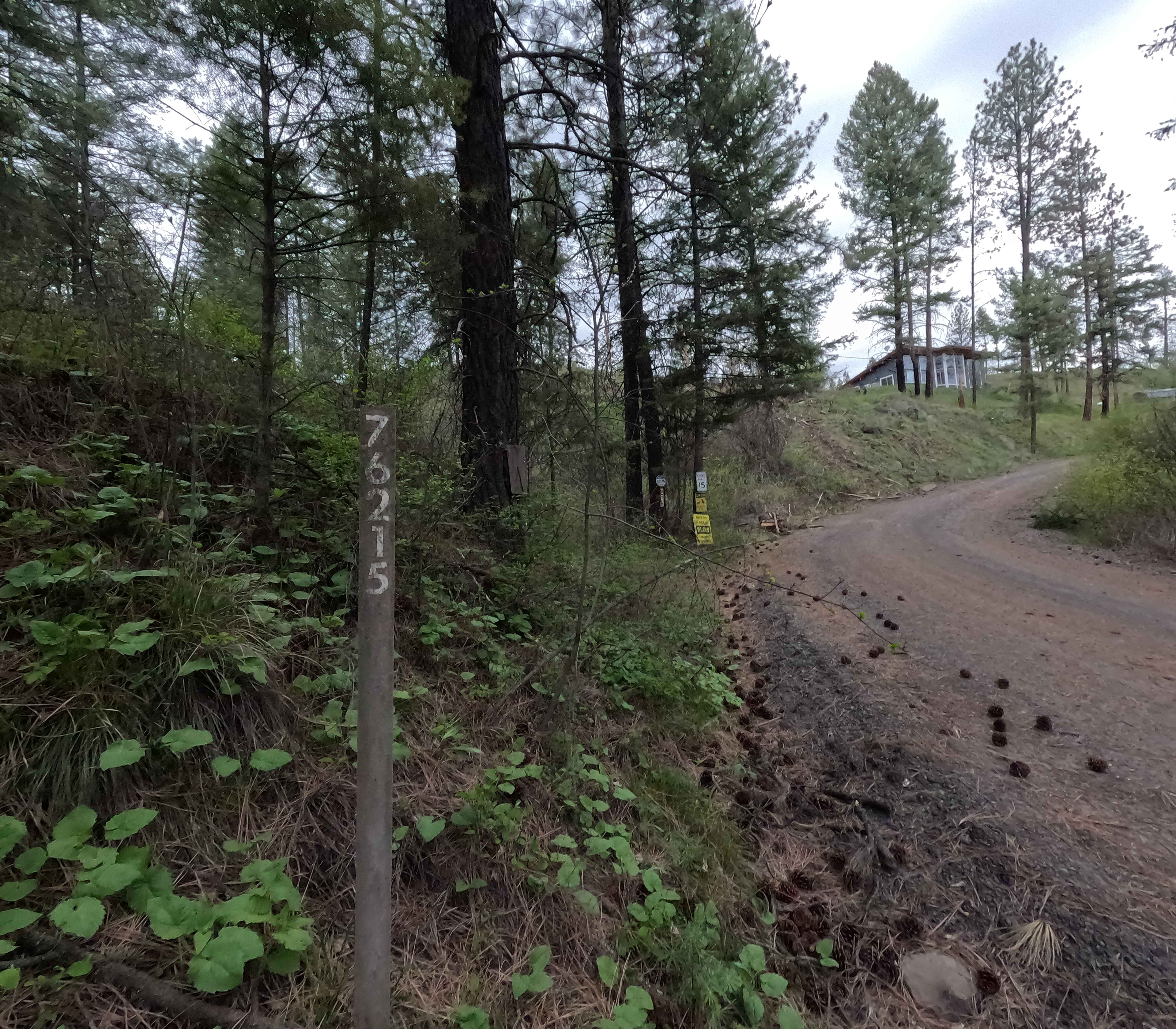
Looking Glass - FS 62
Total Miles
33.6
Tech Rating
Easy
Best Time
Spring, Summer, Fall
Learn more about Looking Glass - FS 63
Looking Glass - FS 63
Total Miles
12.2
Tech Rating
Easy
Best Time
Summer, Fall
Learn more about Lookout Mountain
Lookout Mountain
Total Miles
14.7
Tech Rating
Easy
Best Time
Spring, Summer, Fall
Learn more about Lookout Mountain Road - FR 4410000
Lookout Mountain Road - FR 4410000
Total Miles
4.7
Tech Rating
Easy
Best Time
Summer, Fall
Learn more about Lookout Point Trail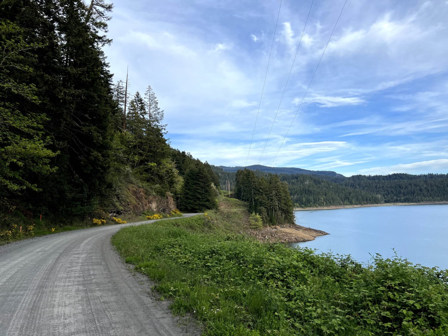
Lookout Point Trail
Total Miles
14.3
Tech Rating
Easy
Best Time
Spring, Summer
Learn more about Lost Creek Loop
Lost Creek Loop
Total Miles
7.9
Tech Rating
Easy
Best Time
Spring, Summer, Fall
Learn more about Lousignot Road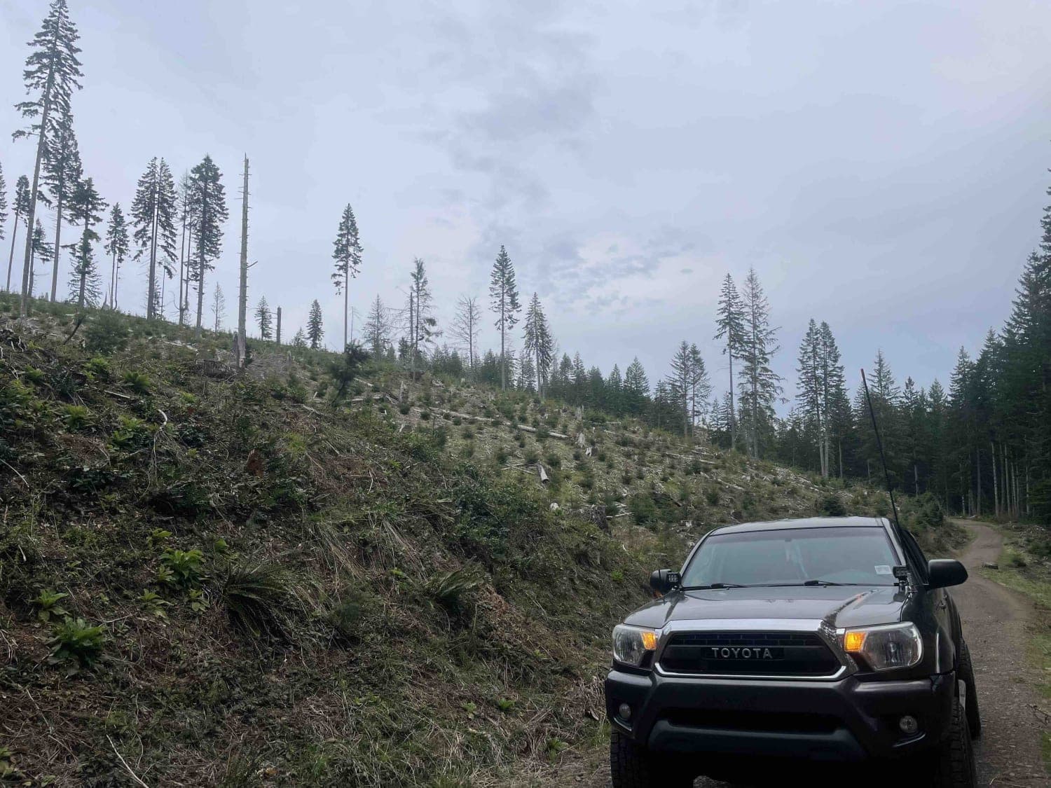
Lousignot Road
Total Miles
7.1
Tech Rating
Easy
Best Time
Spring, Summer, Fall, Winter
Learn more about Lower Butte Loops Trail
Lower Butte Loops Trail
Total Miles
6.3
Tech Rating
Easy
Best Time
Spring, Summer, Fall
Learn more about Lower Cold Spring
Lower Cold Spring
Total Miles
8.7
Tech Rating
Moderate
Best Time
Fall, Summer
Learn more about Lower Cross District Trail
Lower Cross District Trail
Total Miles
5.8
Tech Rating
Easy
Best Time
Summer, Fall, Spring
Learn more about Lower Deschutes River Access Road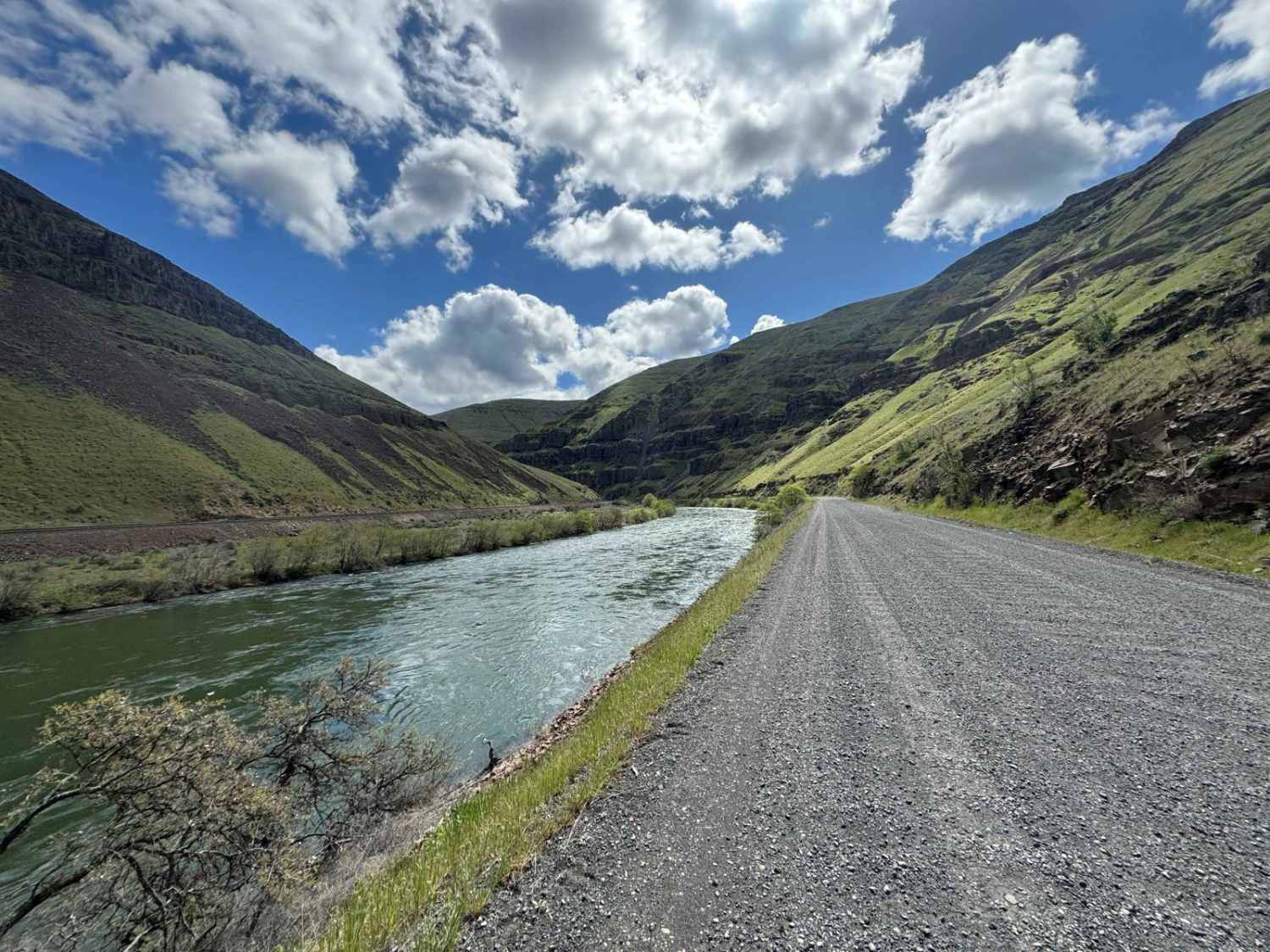
Lower Deschutes River Access Road
Total Miles
17.8
Tech Rating
Easy
Best Time
Spring, Summer, Fall, Winter
Learn more about Lower Gunner Lake Mainline
Lower Gunner Lake Mainline
Total Miles
1.0
Tech Rating
Easy
Best Time
Spring, Summer, Fall, Winter
Learn more about Lower McKay Creek Road to West Fork Mill Creek Road
Lower McKay Creek Road to West Fork Mill Creek Road
Total Miles
10.1
Tech Rating
Moderate
Best Time
Spring, Summer, Fall
Learn more about Lower Nehalem Road Beach Route
Lower Nehalem Road Beach Route
Total Miles
11.1
Tech Rating
Easy
Best Time
Spring, Summer, Fall, Winter
Learn more about Lower Stratton Creek Road
Lower Stratton Creek Road
Total Miles
2.8
Tech Rating
Easy
Best Time
Spring
ATV trails in Oregon


UTV/side-by-side trails in Oregon
Learn more about 10 Mile OHV Trail
10 Mile OHV Trail
Total Miles
1.6
Tech Rating
Easy
Best Time
Spring, Summer, Fall


The onX Offroad Difference
onX Offroad combines trail photos, descriptions, difficulty ratings, width restrictions, seasonality, and more in a user-friendly interface. Available on all devices, with offline access and full compatibility with CarPlay and Android Auto. Discover what you’re missing today!