Lost Creek Loop
Total Miles
7.9
Technical Rating
Best Time
Spring, Summer, Fall
Trail Type
Full-Width Road
Accessible By
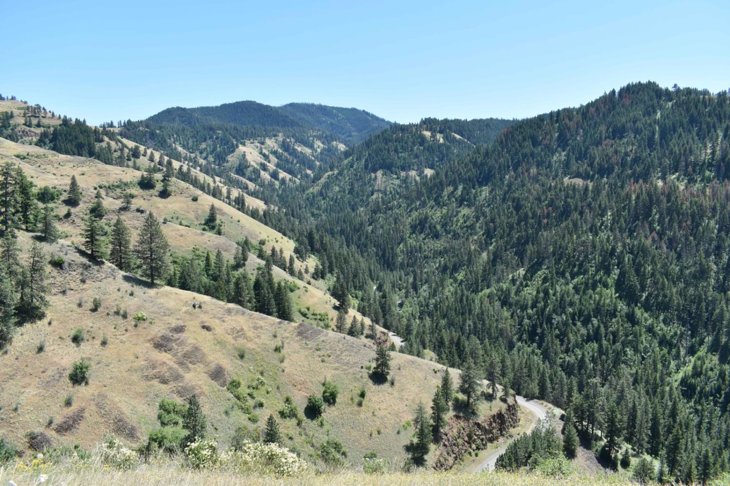
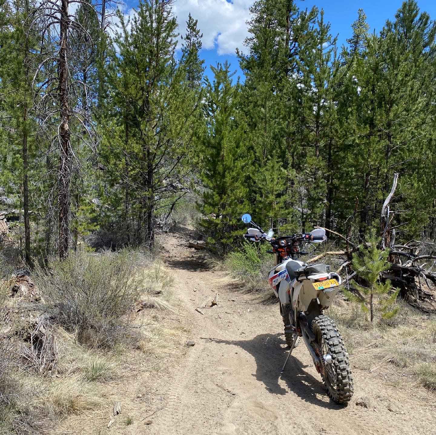
Trail Overview
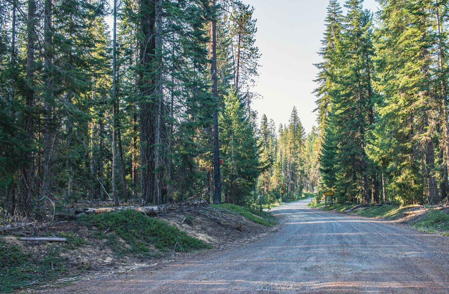
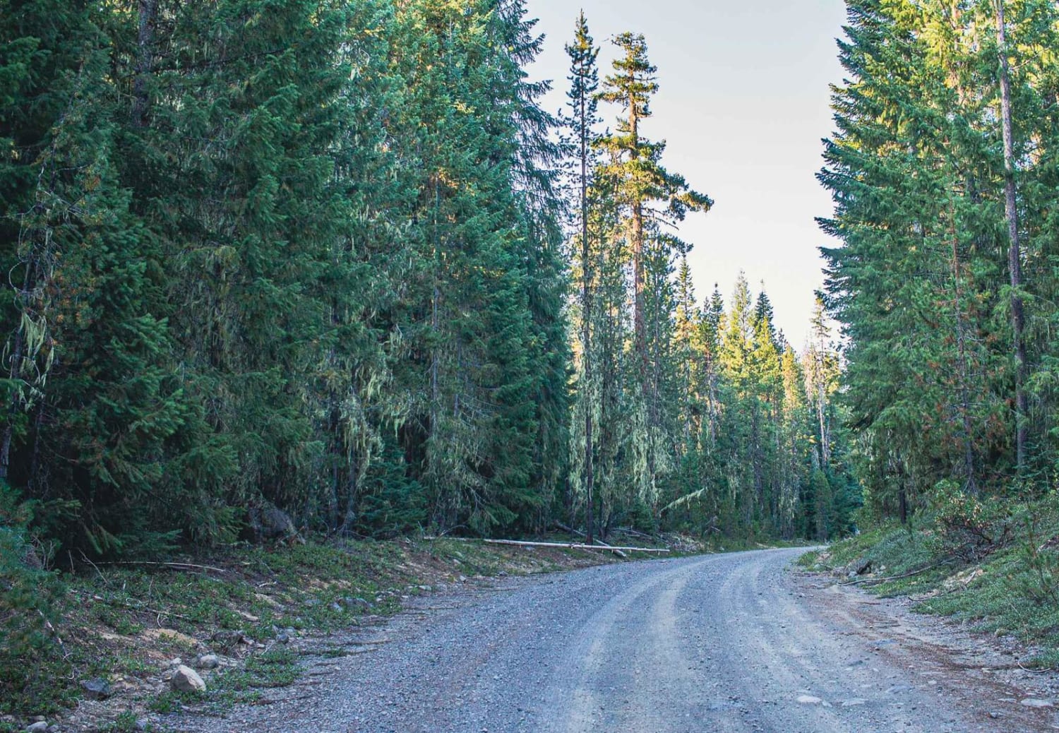
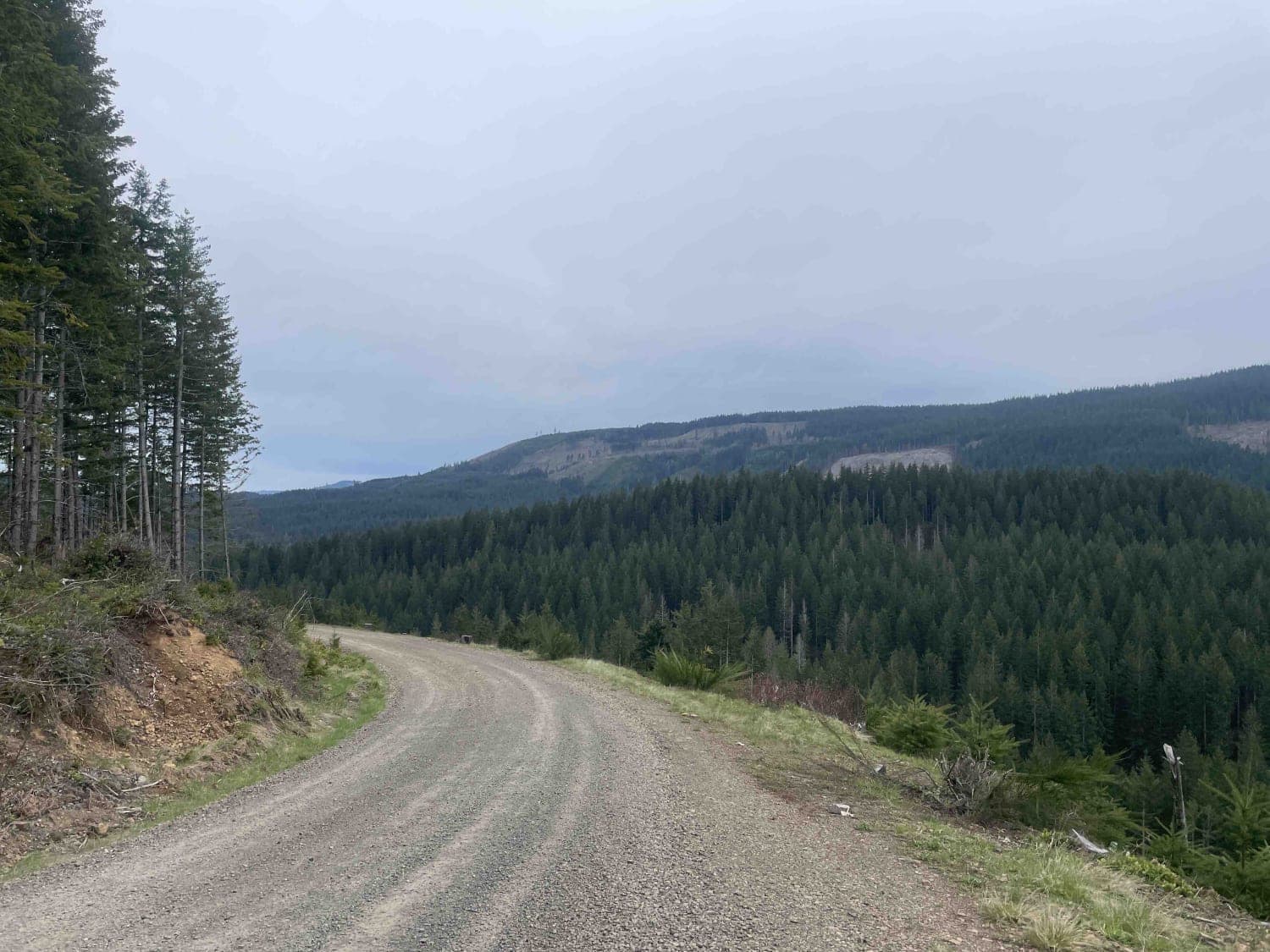
Lost Creek Loop is a wide single-car gravel road, with enough room to pass two cars if need be, there are a few sections however that get a little tight. It runs through the Willamette National Forest. That runs through Umpqua National Forest, there are a couple of primitive camp spots on this road. As well as a few campgrounds like Clearwater Falls Campground and Thielsen Forest Camp that are close by.
Photos of Lost Creek Loop
Difficulty
typically unmaintained after rain or snow
Status Reports
Lost Creek Loop can be accessed by the following ride types:
- High-Clearance 4x4
- SUV
- SxS (60")
- ATV (50")
- Dirt Bike
Lost Creek Loop Map
Popular Trails
Wheeler Run
Honeycomb Wilderness Trail
Chesley's Challenge
The onX Offroad Difference
onX Offroad combines trail photos, descriptions, difficulty ratings, width restrictions, seasonality, and more in a user-friendly interface. Available on all devices, with offline access and full compatibility with CarPlay and Android Auto. Discover what you’re missing today!