Lookout Point Trail
Total Miles
14.3
Technical Rating
Best Time
Spring, Summer
Trail Type
Full-Width Road
Accessible By
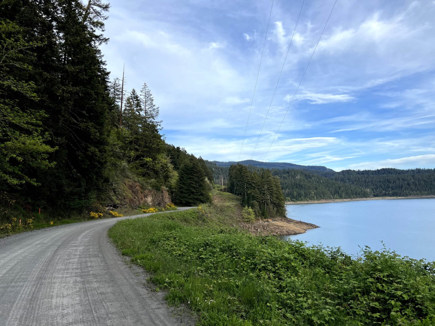
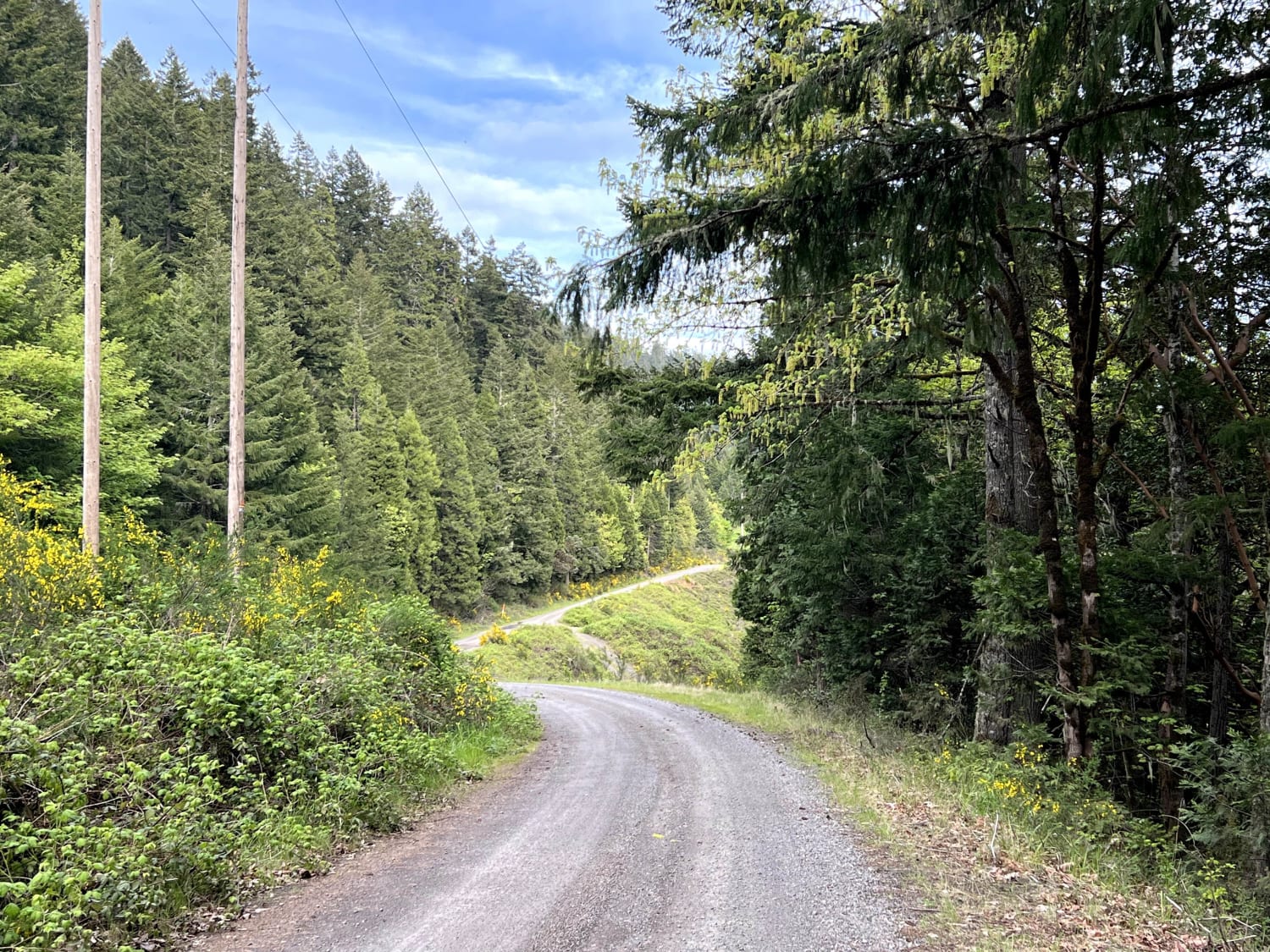
Trail Overview
NF-5821 is a dirt road on the opposite side of Willamette Highway 58, separated by Lookout Point Lake. The locals use this road as an alternative route when Highway 58 is closed due to a major car accident, but on most days, Lookout Point Trail is a fun trail, especially for beginners. Where any crossover, SUV, or truck can handle the large, sometimes deep potholes, a sedan or minivan may need to negotiate them with more care. And although this road is used by the locals, it is not to be taken lightly during the flooding season, as the road may become part of the Willamette River. Lookout Point Trail connects Westfir (East) to Lowell (West) with beautiful views of the lake, river, and small creeks that come down the hillside. This road also offers other smaller roads for the more experienced off-roader.
Photos of Lookout Point Trail
Difficulty
Do not get distracted by the beautiful scenery, this road can be dangerous if you are not paying attention. There are no guard rails to save you from cliff sides, and there are rail road crossings that don't have level crossing signals or flashing lights when a train is approaching.
Status Reports
Lookout Point Trail can be accessed by the following ride types:
- High-Clearance 4x4
- SUV
- SxS (60")
- ATV (50")
- Dirt Bike
Lookout Point Trail Map
Popular Trails
Haystack Overlook
Honeycomb Wilderness Trail

McPherson Road

The onX Offroad Difference
onX Offroad combines trail photos, descriptions, difficulty ratings, width restrictions, seasonality, and more in a user-friendly interface. Available on all devices, with offline access and full compatibility with CarPlay and Android Auto. Discover what you’re missing today!