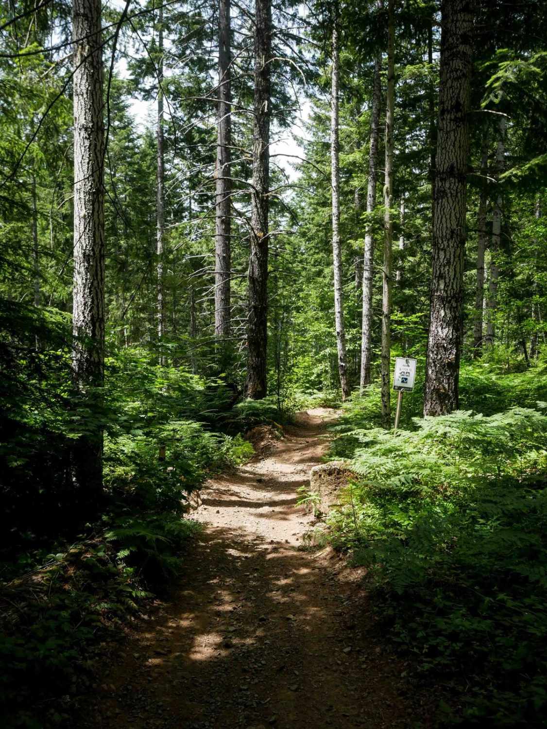
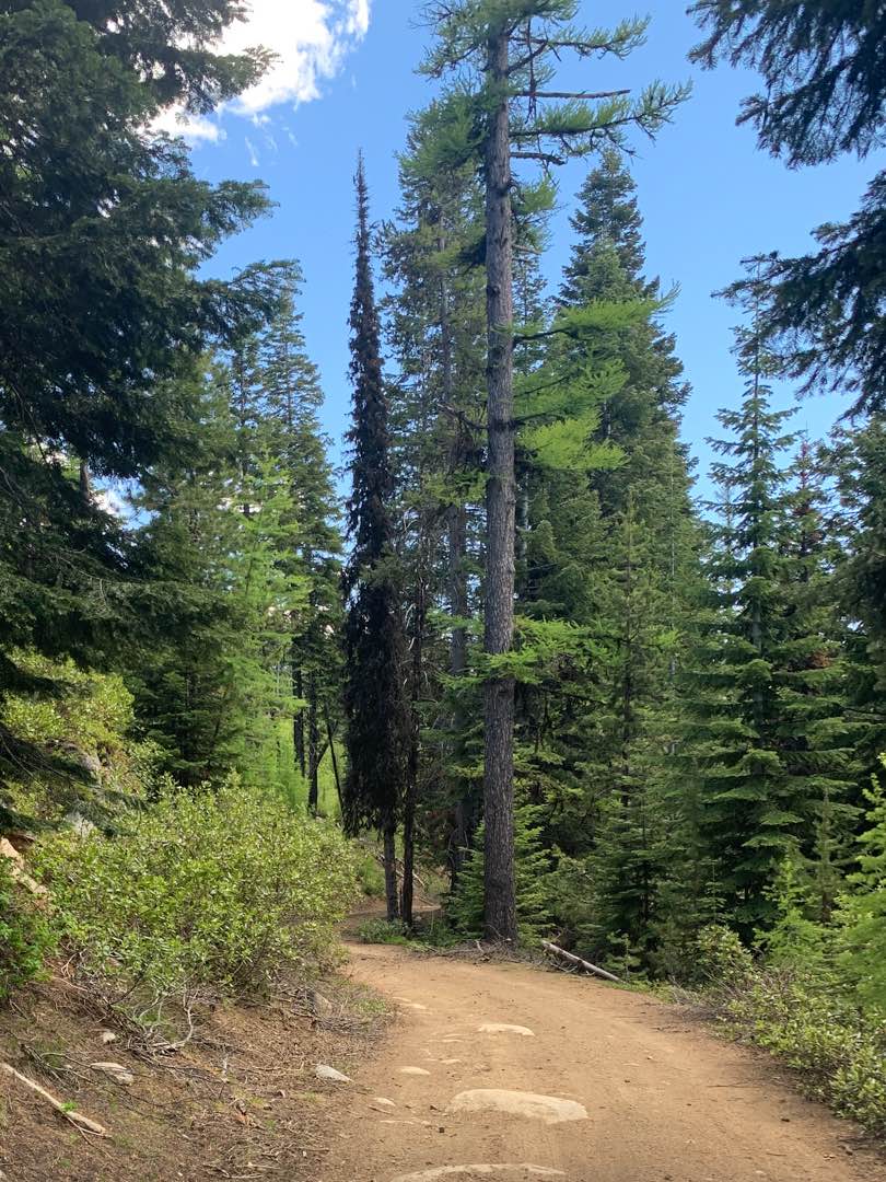
Off-Road Trails in Oregon
Discover off-road trails in Oregon
Learn more about Island and Link Lakes
Island and Link Lakes
Total Miles
2.1
Tech Rating
Easy
Best Time
Summer, Fall
Learn more about Island Reservoir Cutover
Island Reservoir Cutover
Total Miles
3.6
Tech Rating
Easy
Best Time
Summer, Fall
Learn more about Island Reservoir Run
Island Reservoir Run
Total Miles
4.0
Tech Rating
Moderate
Best Time
Summer, Fall

Learn more about Jones Creek Road
Jones Creek Road
Total Miles
2.8
Tech Rating
Easy
Best Time
Spring, Summer, Fall
Learn more about Jones Well #2121
Jones Well #2121
Total Miles
8.8
Tech Rating
Easy
Best Time
Spring, Summer, Fall
Learn more about Jordan Craters and Owyhee River Trail
Jordan Craters and Owyhee River Trail
Total Miles
11.2
Tech Rating
Easy
Best Time
Spring, Summer, Fall
Learn more about Jordan Craters Ranch Road
Jordan Craters Ranch Road
Total Miles
3.5
Tech Rating
Easy
Best Time
Fall
Learn more about Jordan Creek #84 (Part 1)
Jordan Creek #84 (Part 1)
Total Miles
1.6
Tech Rating
Moderate
Best Time
Spring, Fall
Learn more about Jordan Creek #84 (Part 2)
Jordan Creek #84 (Part 2)
Total Miles
1.0
Tech Rating
Moderate
Best Time
Spring, Fall
Learn more about Jordan Creek #84 (Part 3)
Jordan Creek #84 (Part 3)
Total Miles
3.0
Tech Rating
Moderate
Best Time
Spring, Fall
Learn more about Jordan Creek Road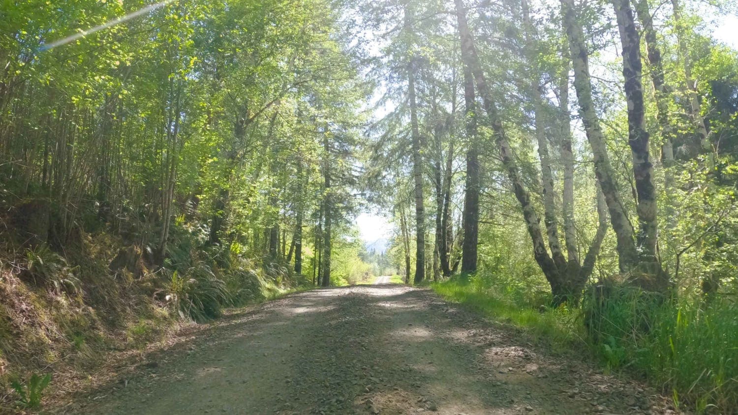
Jordan Creek Road
Total Miles
5.0
Tech Rating
Easy
Best Time
Spring, Summer, Fall
Learn more about Jordan Valley - Leslie Gulch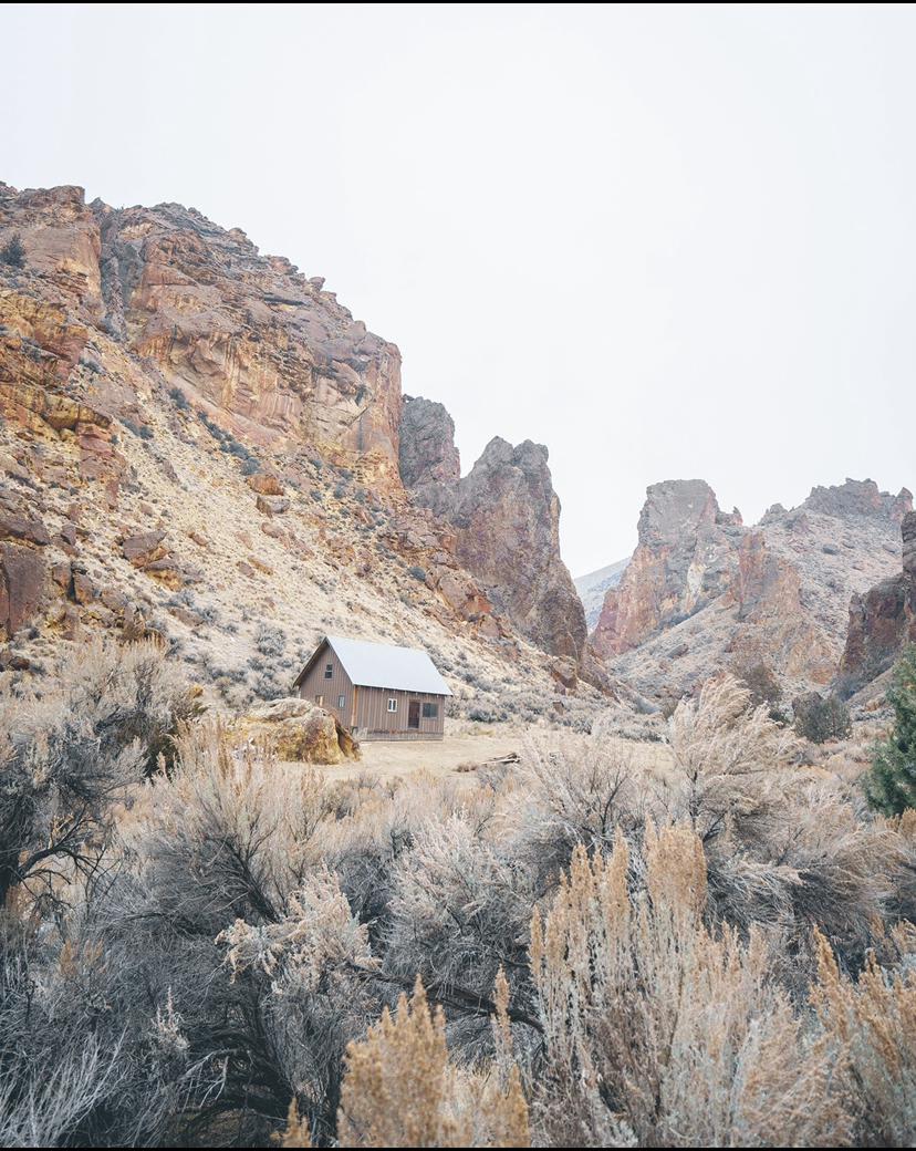
Jordan Valley - Leslie Gulch
Total Miles
24.7
Tech Rating
Easy
Best Time
Summer
Learn more about June Mountain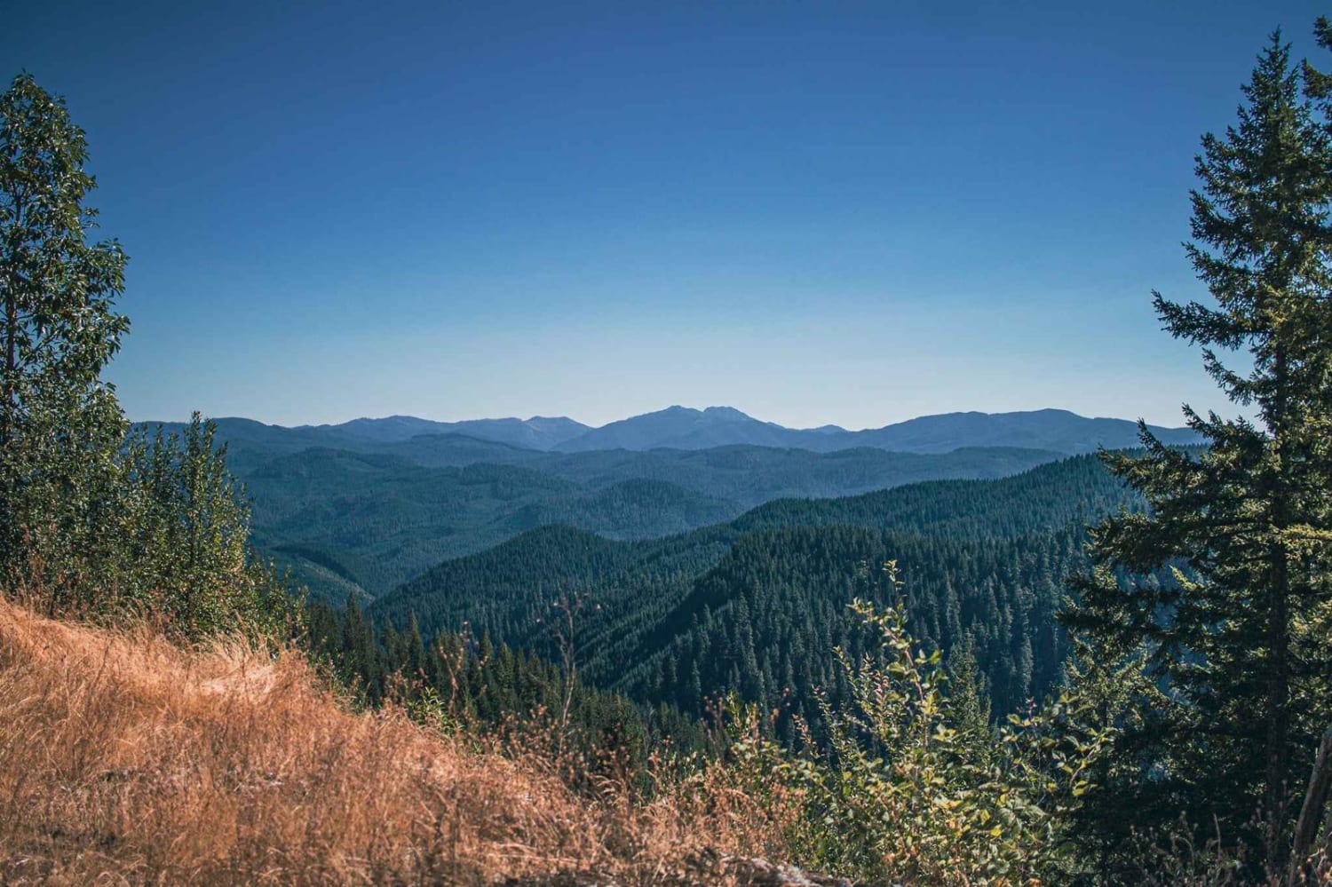
June Mountain
Total Miles
14.1
Tech Rating
Easy
Best Time
Spring, Summer, Fall
Learn more about June-Indigo Tie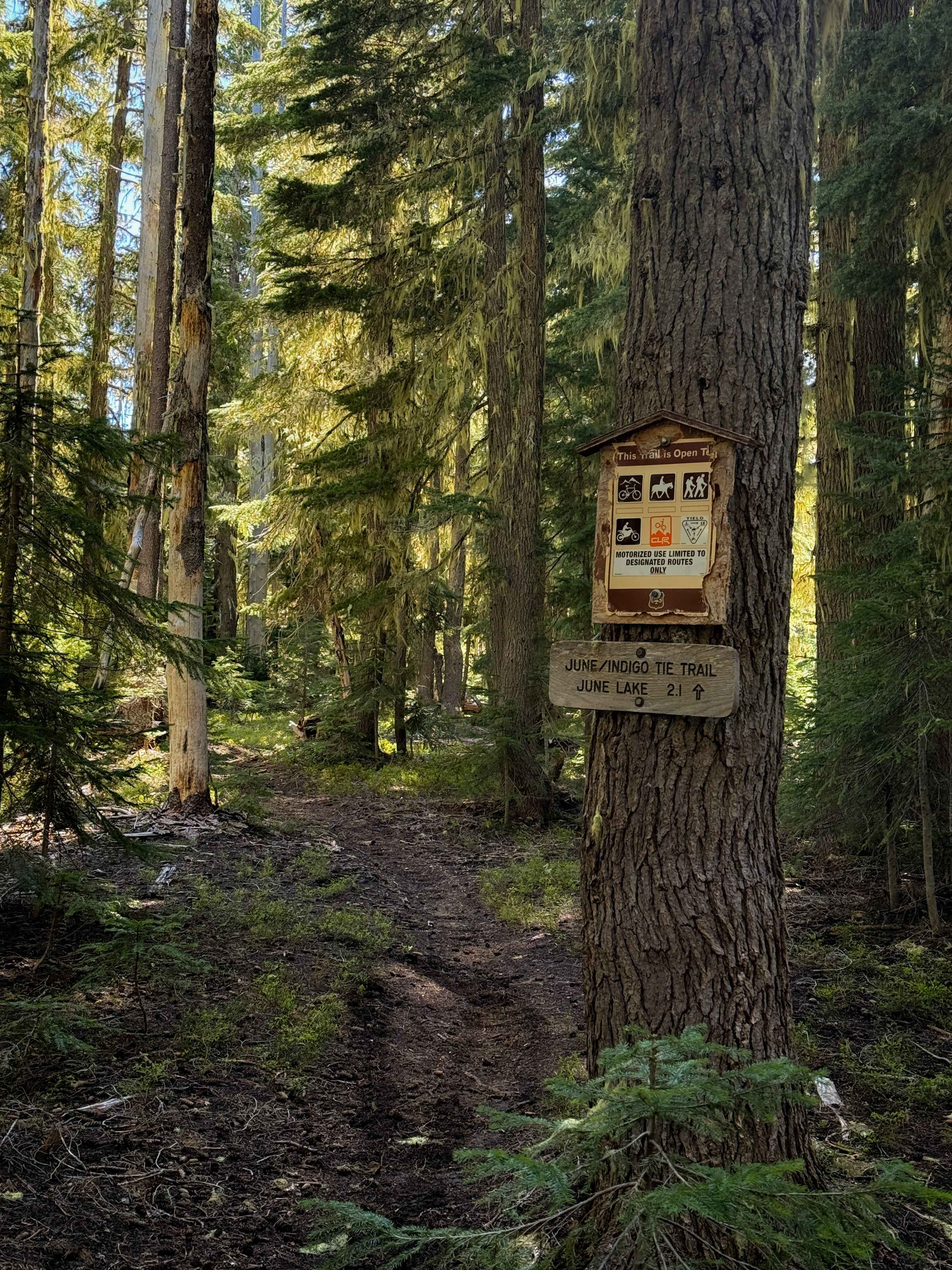
June-Indigo Tie
Total Miles
0.5
Tech Rating
Easy
Best Time
Summer, Spring, Fall
Learn more about Karls Beer Run 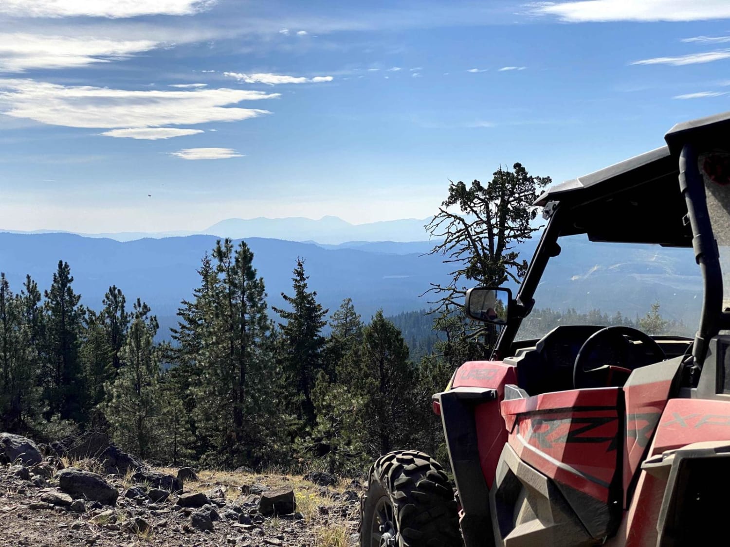
Karls Beer Run
Total Miles
16.1
Tech Rating
Moderate
Best Time
Spring, Summer, Fall
ATV trails in Oregon


UTV/side-by-side trails in Oregon
Learn more about 10 Mile OHV Trail
10 Mile OHV Trail
Total Miles
1.6
Tech Rating
Easy
Best Time
Spring, Summer, Fall


The onX Offroad Difference
onX Offroad combines trail photos, descriptions, difficulty ratings, width restrictions, seasonality, and more in a user-friendly interface. Available on all devices, with offline access and full compatibility with CarPlay and Android Auto. Discover what you’re missing today!