Off-Road Trails in Oregon
Discover off-road trails in Oregon


Learn more about Fugawe Loop 
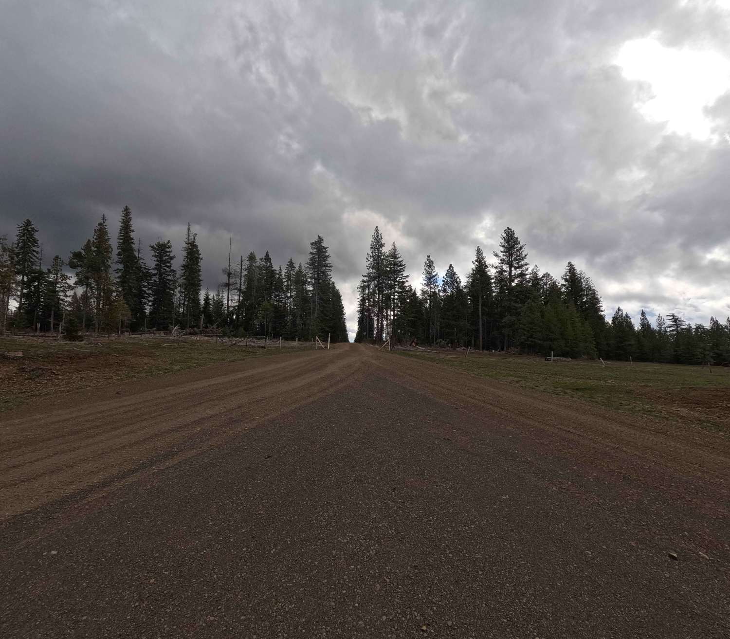
Fugawe Loop
Total Miles
28.1
Tech Rating
Difficult
Best Time
Spring, Summer, Fall, Winter
Learn more about Fuzztail Butte Trail
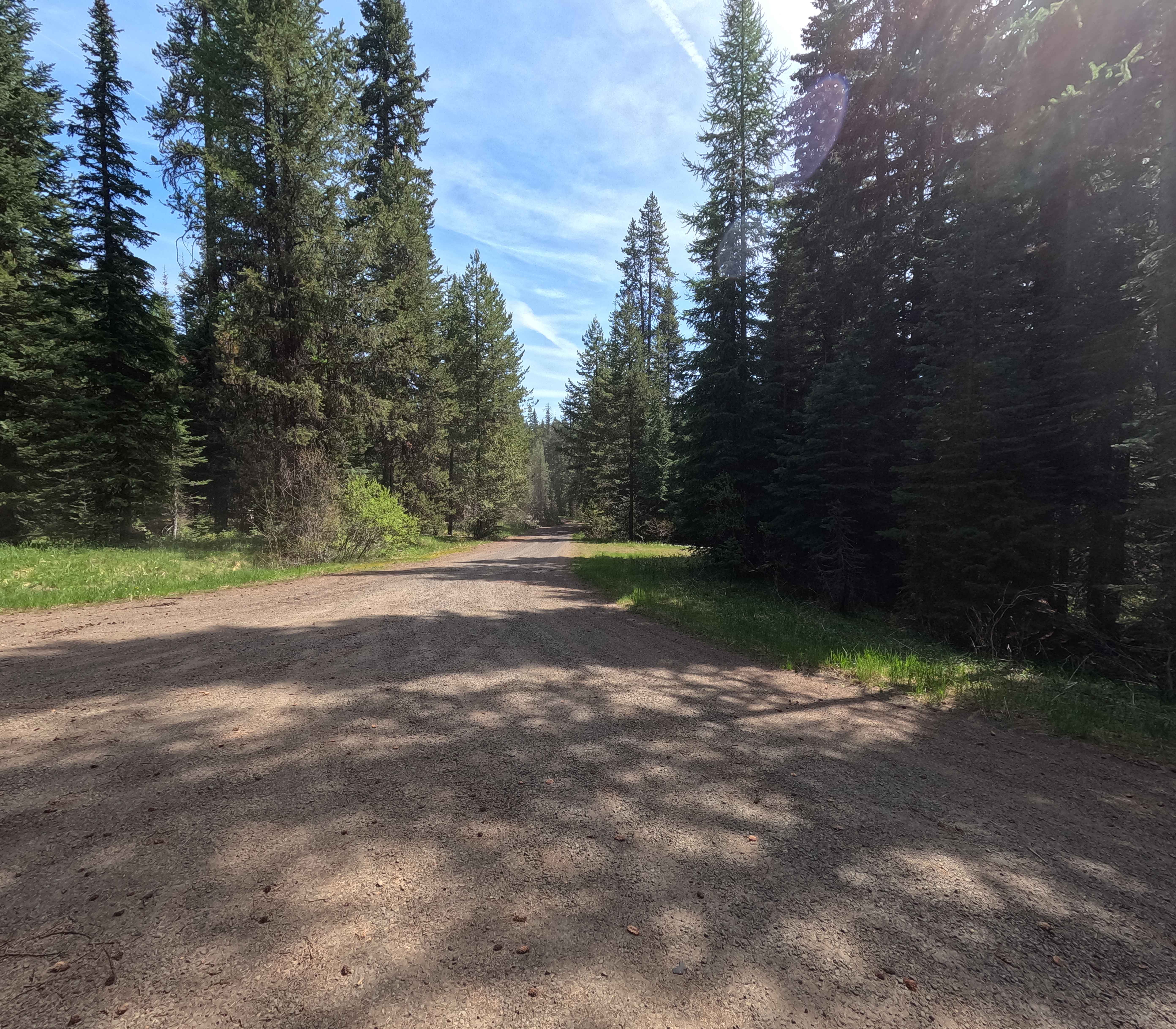
Fuzztail Butte Trail
Total Miles
5.2
Tech Rating
Easy
Best Time
Summer, Fall
Learn more about Gate Creek 5875565
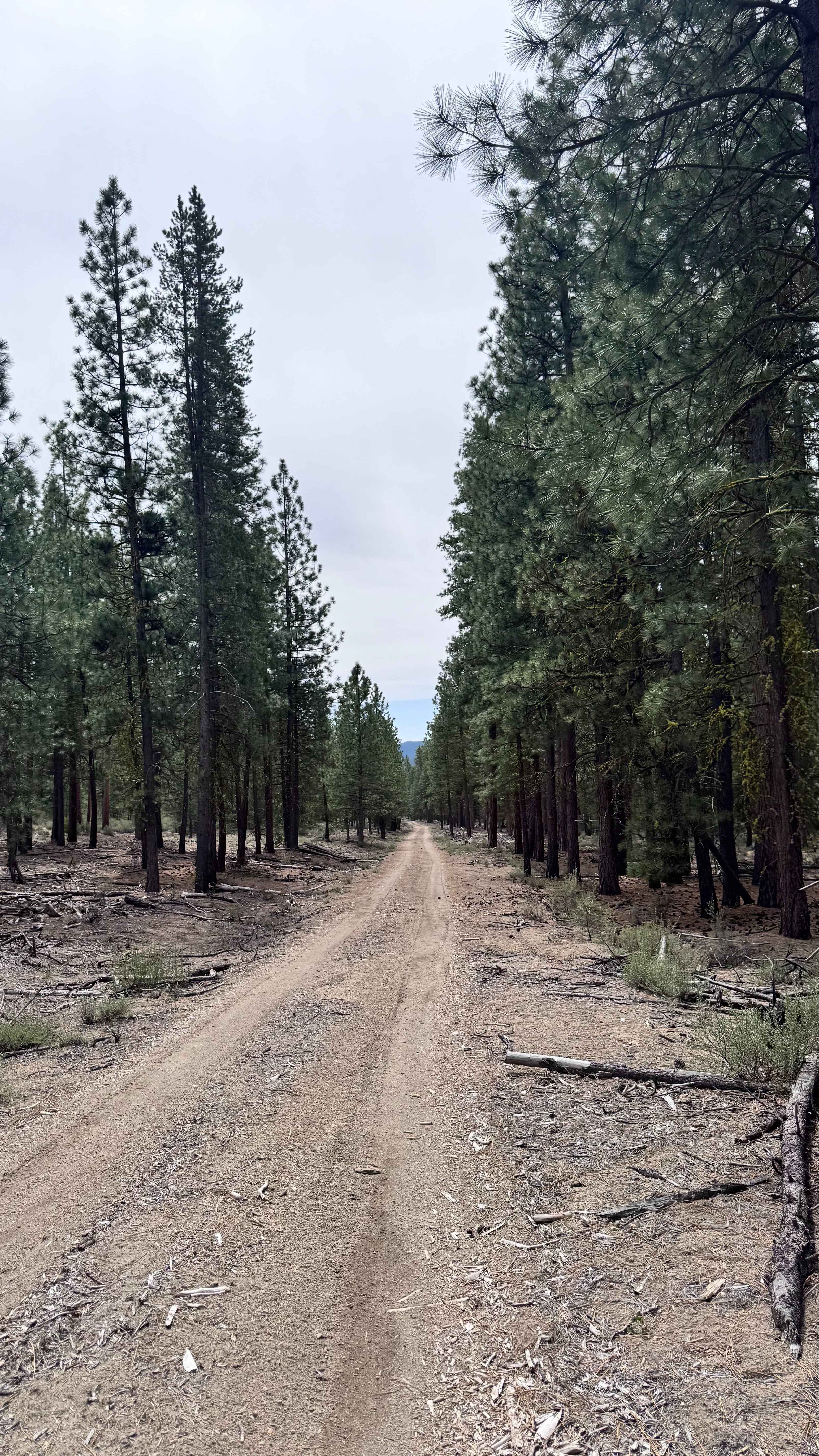
Gate Creek 5875565
Total Miles
5.5
Tech Rating
Easy
Best Time
Spring, Summer, Fall
Learn more about Ginger Creek Access Loop
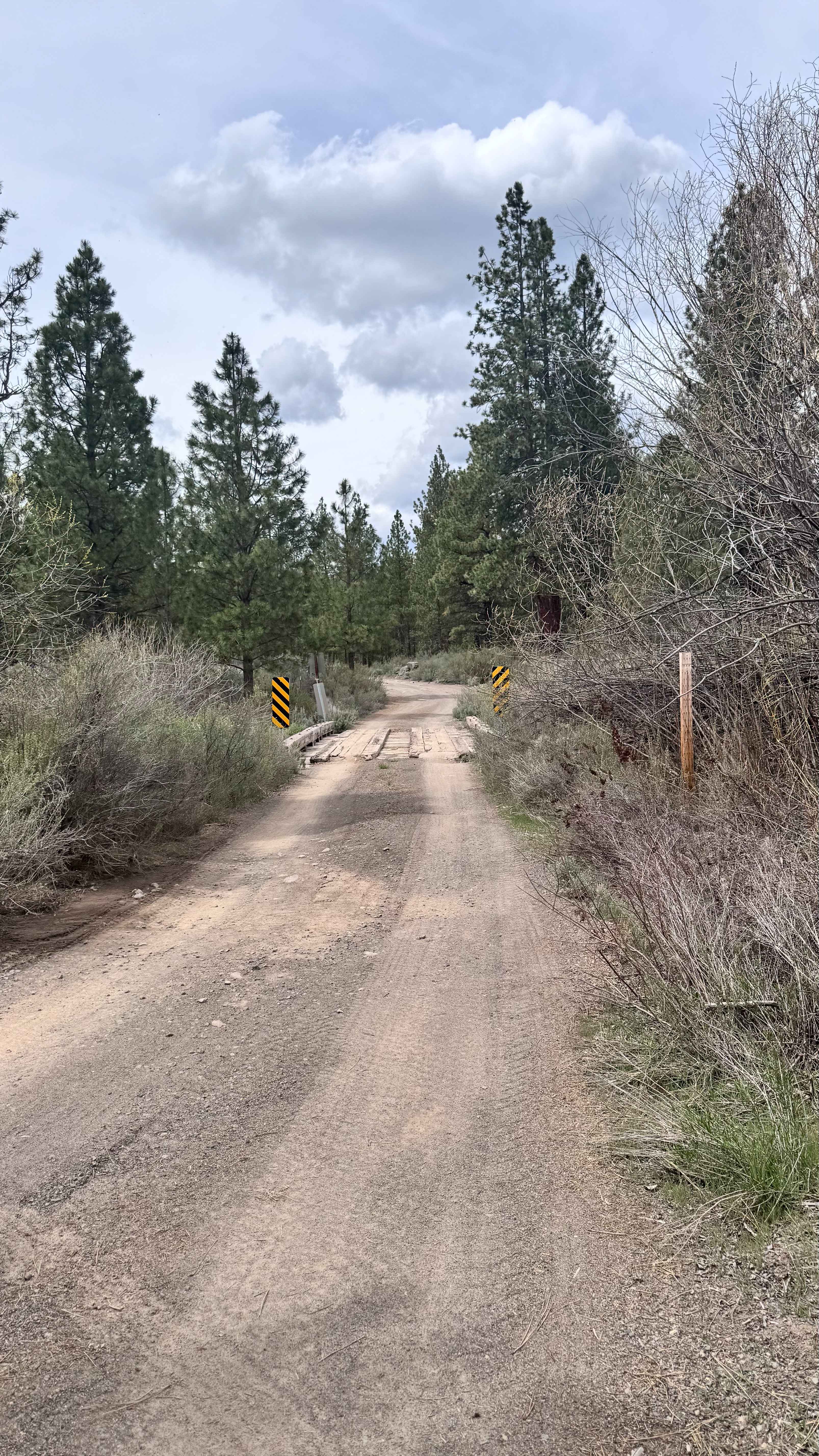
Ginger Creek Access Loop
Total Miles
1.8
Tech Rating
Moderate
Best Time
Spring
Learn more about Ginger Creek Road
Ginger Creek Road
Total Miles
14.5
Tech Rating
Easy
Best Time
Spring, Fall
Learn more about Giveout Grade
Giveout Grade
Total Miles
3.2
Tech Rating
Easy
Best Time
Summer, Spring, Fall, Winter
Learn more about Glass Butte Run
Glass Butte Run
Total Miles
4.6
Tech Rating
Moderate
Best Time
Spring, Fall
Learn more about Gobblers Knob
Gobblers Knob
Total Miles
21.0
Tech Rating
Easy
Best Time
Spring, Summer, Fall
Learn more about Goodman Creek
Goodman Creek
Total Miles
7.7
Tech Rating
Easy
Best Time
Spring, Summer, Fall

Learn more about Grass Creek - Fairview
Grass Creek - Fairview
Total Miles
7.2
Tech Rating
Easy
Best Time
Spring, Summer, Fall
ATV trails in Oregon


UTV/side-by-side trails in Oregon
Learn more about 10 Mile OHV Trail
10 Mile OHV Trail
Total Miles
1.6
Tech Rating
Easy
Best Time
Spring, Summer, Fall


The onX Offroad Difference
onX Offroad combines trail photos, descriptions, difficulty ratings, width restrictions, seasonality, and more in a user-friendly interface. Available on all devices, with offline access and full compatibility with CarPlay and Android Auto. Discover what you’re missing today!