Off-Road Trails in Oregon
Discover off-road trails in Oregon
Learn more about Grassy Ranch - Single Creek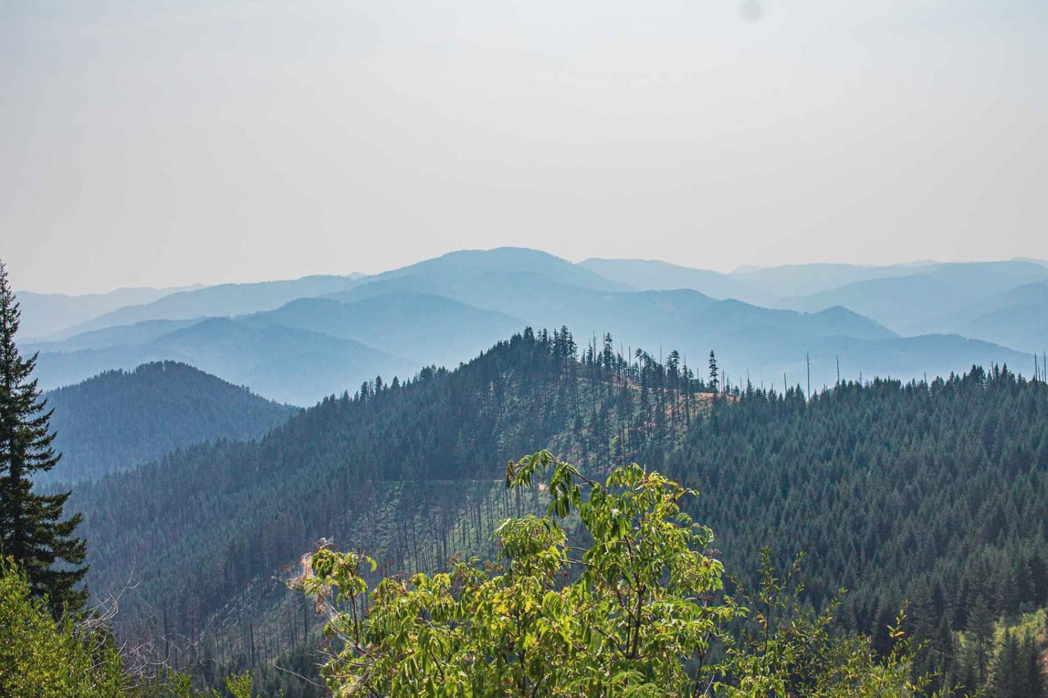
Grassy Ranch - Single Creek
Total Miles
16.3
Tech Rating
Easy
Best Time
Spring, Summer, Fall
Learn more about Gravel Pit Camp Road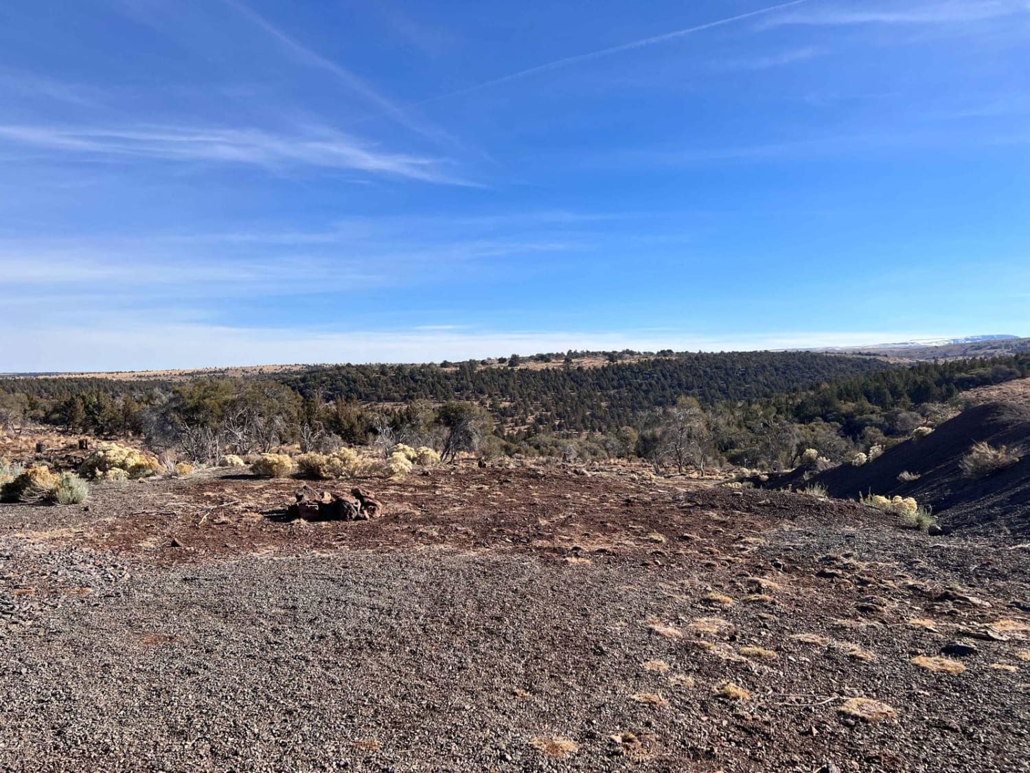
Gravel Pit Camp Road
Total Miles
1.3
Tech Rating
Easy
Best Time
Summer, Fall
Learn more about Graveyard - Succor Creek Road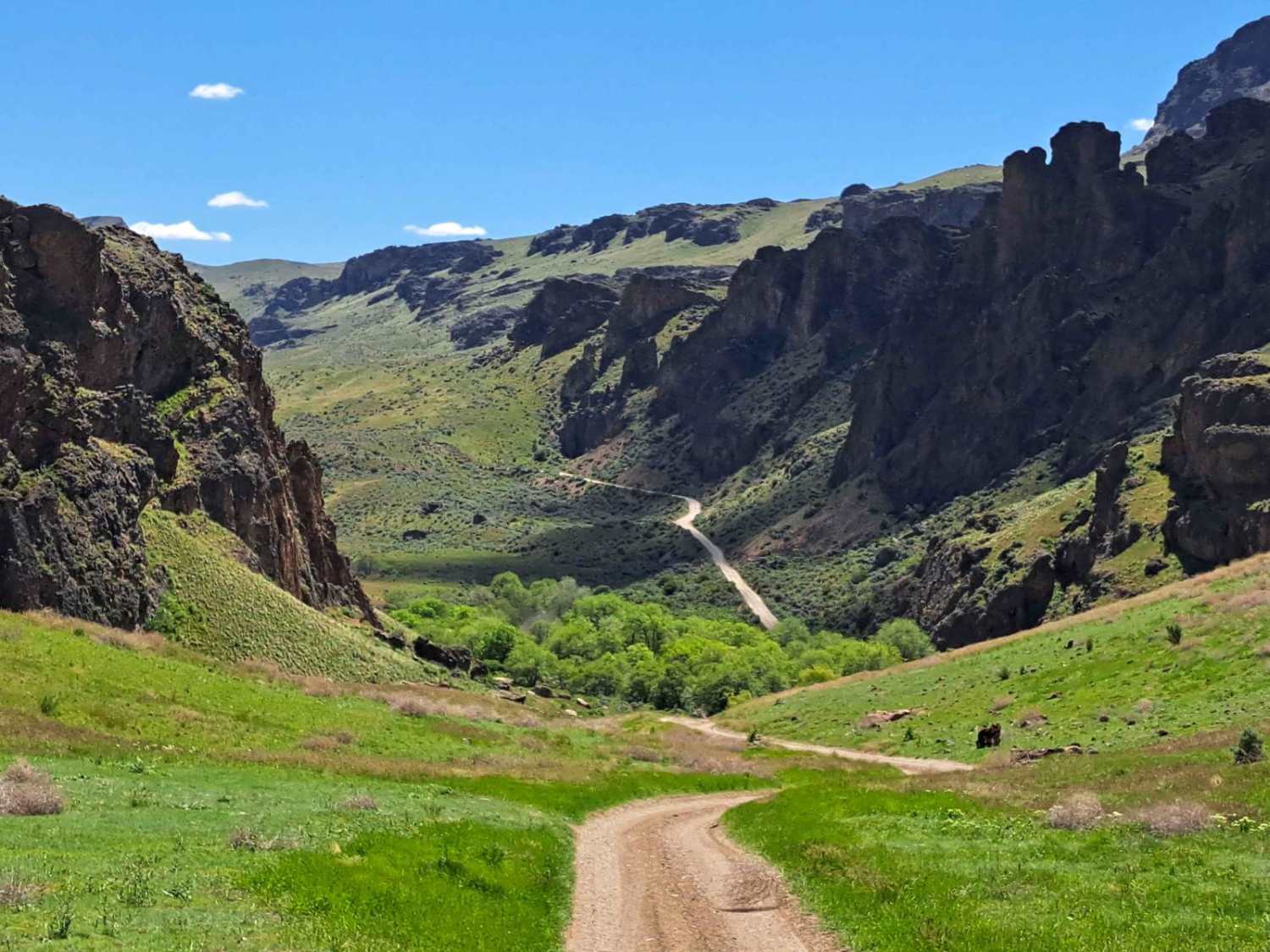
Graveyard - Succor Creek Road
Total Miles
11.4
Tech Rating
Easy
Best Time
Spring, Summer, Fall
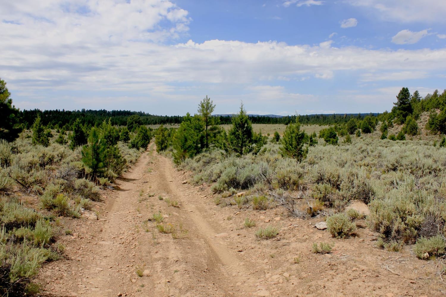
Learn more about Graveyard Rim Trail
Graveyard Rim Trail
Total Miles
6.2
Tech Rating
Easy
Best Time
Spring, Fall
Learn more about Gray Butte - NF-5700
Gray Butte - NF-5700
Total Miles
4.7
Tech Rating
Easy
Best Time
Spring, Summer, Fall
Learn more about Gray Butte Summit
Gray Butte Summit
Total Miles
1.9
Tech Rating
Easy
Best Time
Spring, Summer, Fall
Learn more about Grease Monkey James
Grease Monkey James
Total Miles
41.1
Tech Rating
Easy
Best Time
Summer, Fall
Learn more about Green BU #2222 
Green BU #2222
Total Miles
7.8
Tech Rating
Easy
Best Time
Spring, Summer, Fall
Learn more about Green Butte Summit
Green Butte Summit
Total Miles
2.0
Tech Rating
Moderate
Best Time
Spring, Summer, Fall
Learn more about Green Mountain Gravel Pits
Green Mountain Gravel Pits
Total Miles
1.5
Tech Rating
Easy
Best Time
Spring, Summer, Fall, Winter
Learn more about Green Mountain Road
Green Mountain Road
Total Miles
5.1
Tech Rating
Easy
Best Time
Winter, Fall, Summer, Spring
Learn more about Green Point - 2810
Green Point - 2810
Total Miles
10.6
Tech Rating
Easy
Best Time
Summer, Fall, Spring
Learn more about Green Ridge Lookout Tower
Green Ridge Lookout Tower
Total Miles
6.4
Tech Rating
Easy
Best Time
Summer, Spring, Fall
Learn more about Grindstone View
Grindstone View
Total Miles
3.8
Tech Rating
Easy
Best Time
Summer, Spring, Fall
Learn more about Gunner Lake Mainline
Gunner Lake Mainline
Total Miles
1.7
Tech Rating
Easy
Best Time
Spring, Summer, Fall, Winter
ATV trails in Oregon


UTV/side-by-side trails in Oregon
Learn more about 10 Mile OHV Trail
10 Mile OHV Trail
Total Miles
1.6
Tech Rating
Easy
Best Time
Spring, Summer, Fall


The onX Offroad Difference
onX Offroad combines trail photos, descriptions, difficulty ratings, width restrictions, seasonality, and more in a user-friendly interface. Available on all devices, with offline access and full compatibility with CarPlay and Android Auto. Discover what you’re missing today!