Off-Road Trails in Oregon
Discover off-road trails in Oregon
Learn more about Wolf Point to Jones Creek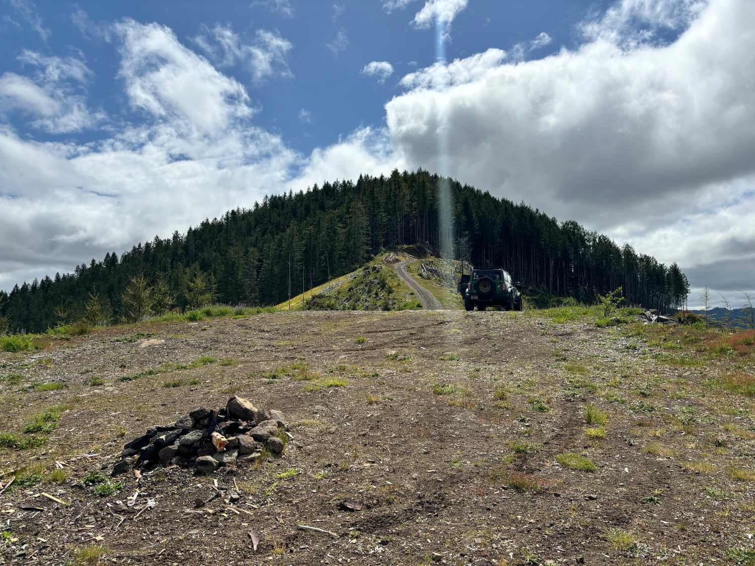
Wolf Point to Jones Creek
Total Miles
6.6
Tech Rating
Easy
Best Time
Spring, Summer, Fall
Learn more about Yamhill Reservoir to Barney Reservoir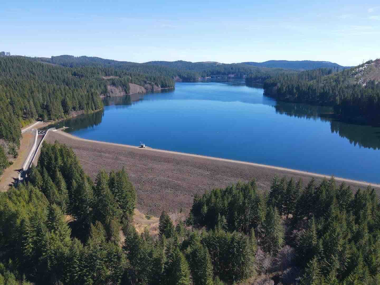
Yamhill Reservoir to Barney Reservoir
Total Miles
9.0
Tech Rating
Easy
Best Time
Spring, Summer
Learn more about Youngs Creek #2129
Youngs Creek #2129
Total Miles
9.8
Tech Rating
Easy
Best Time
Spring, Summer, Fall
Learn more about Youtlkut Pillars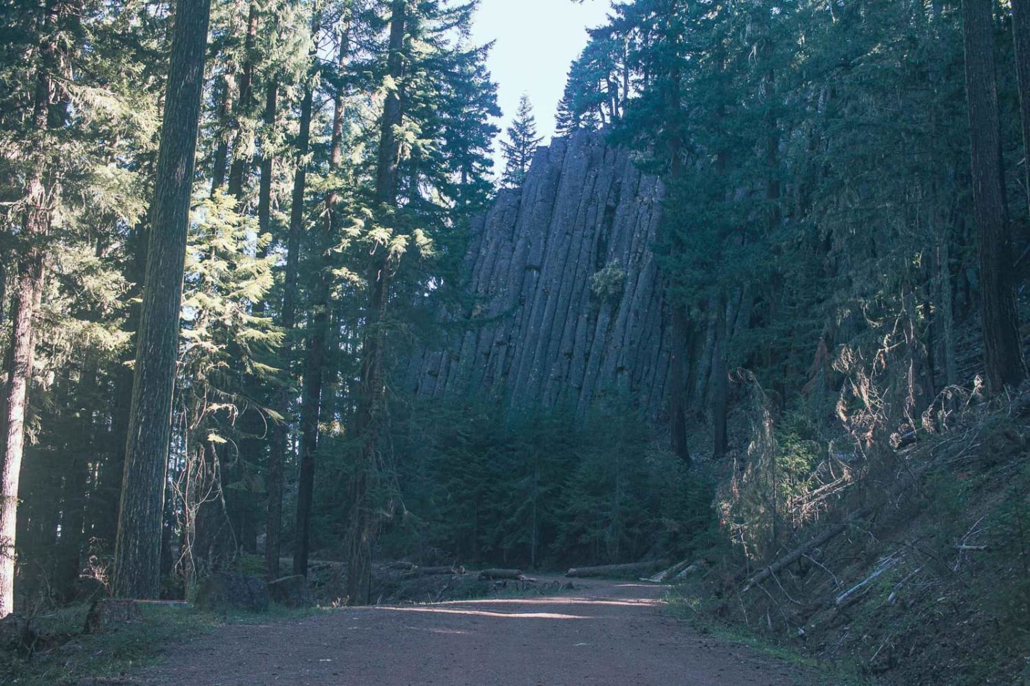
Youtlkut Pillars
Total Miles
1.8
Tech Rating
Easy
Best Time
Summer, Spring, Fall
Learn more about Zig Zag Trail
Zig Zag Trail
Total Miles
0.5
Tech Rating
Moderate
Best Time
Spring, Summer, Fall
Learn more about ZigZag Road - North
ZigZag Road - North
Total Miles
2.5
Tech Rating
Easy
Best Time
Spring, Summer, Fall
Learn more about ZigZag Road - South
ZigZag Road - South
Total Miles
0.6
Tech Rating
Easy
Best Time
Spring, Summer, Fall
ATV trails in Oregon


UTV/side-by-side trails in Oregon
Learn more about 10 Mile OHV Trail
10 Mile OHV Trail
Total Miles
1.6
Tech Rating
Easy
Best Time
Spring, Summer, Fall


The onX Offroad Difference
onX Offroad combines trail photos, descriptions, difficulty ratings, width restrictions, seasonality, and more in a user-friendly interface. Available on all devices, with offline access and full compatibility with CarPlay and Android Auto. Discover what you’re missing today!