Off-Road Trails in Oregon
Discover off-road trails in Oregon
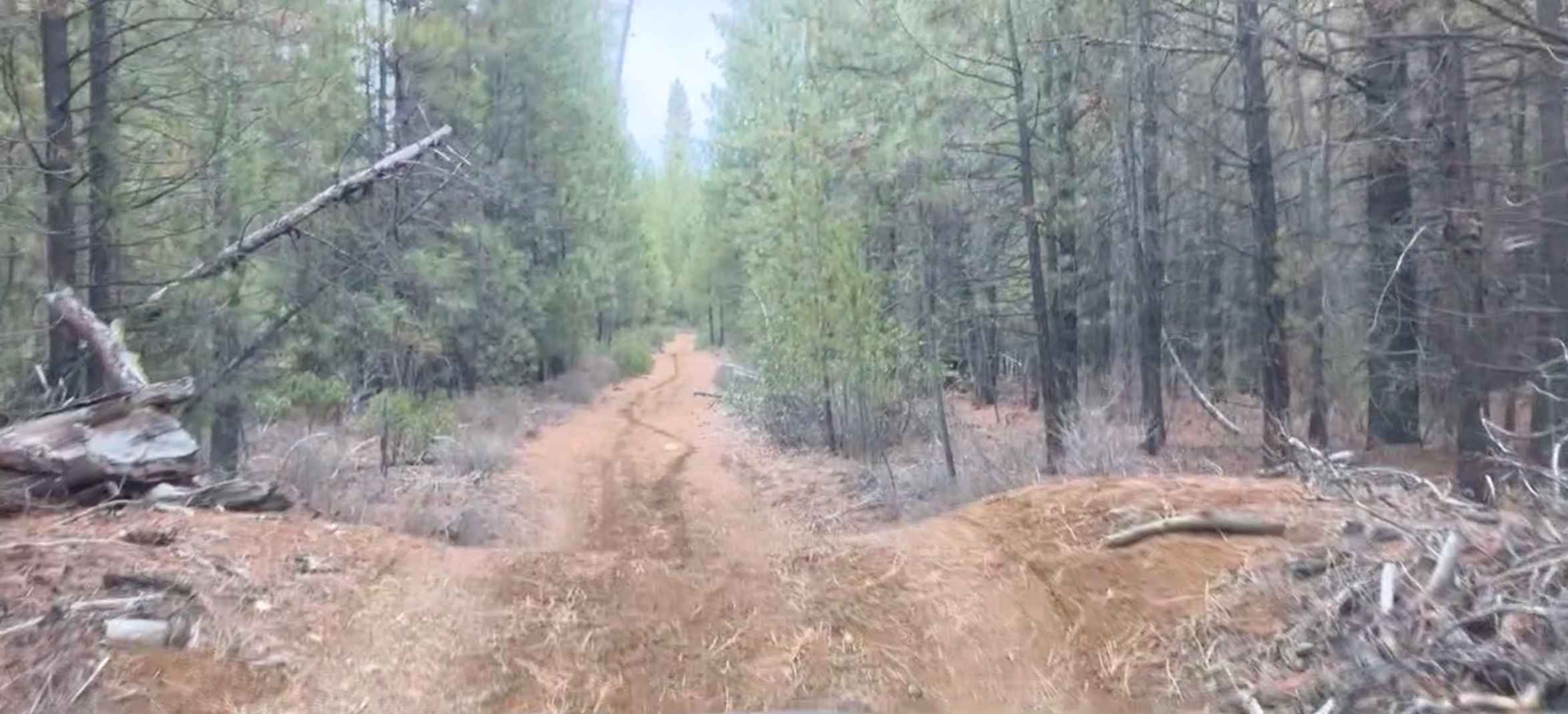
Learn more about Shotgun to McGowan - Mainline
Shotgun to McGowan - Mainline
Total Miles
22.4
Tech Rating
Easy
Best Time
Spring, Summer, Fall, Winter
Learn more about Shuttle Camp - FS 1004150
Shuttle Camp - FS 1004150
Total Miles
0.4
Tech Rating
Easy
Best Time
Spring, Summer, Fall
Learn more about Simmons Ridge Road
Simmons Ridge Road
Total Miles
8.1
Tech Rating
Easy
Best Time
Spring, Summer, Fall
Learn more about Sisters Campsite Road
Sisters Campsite Road
Total Miles
4.1
Tech Rating
Easy
Best Time
Spring, Summer, Fall
Learn more about Sisters Connector
Sisters Connector
Total Miles
6.6
Tech Rating
Easy
Best Time
Spring, Summer, Fall
Learn more about Sisters to Trout Creek Butte Trails
Sisters to Trout Creek Butte Trails
Total Miles
6.9
Tech Rating
Easy
Best Time
Spring, Summer, Fall
Learn more about Sisters to Tumalo Falls via Trout Creek Butte 
Sisters to Tumalo Falls via Trout Creek Butte
Total Miles
43.9
Tech Rating
Easy
Best Time
Summer, Fall
Learn more about Skellock Pit - FS 4300800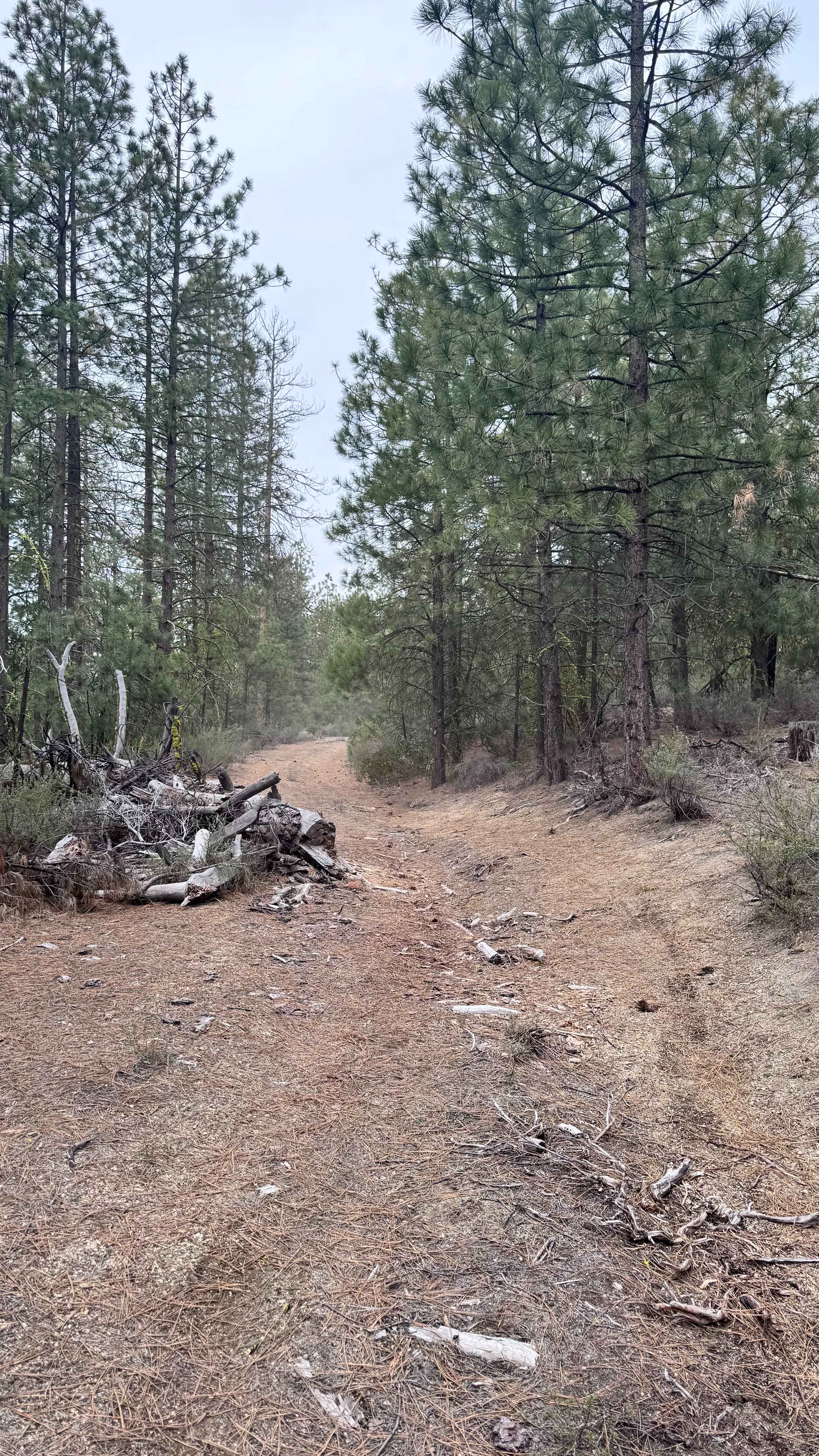
Skellock Pit - FS 4300800
Total Miles
5.7
Tech Rating
Easy
Best Time
Spring
Learn more about Skookum Pond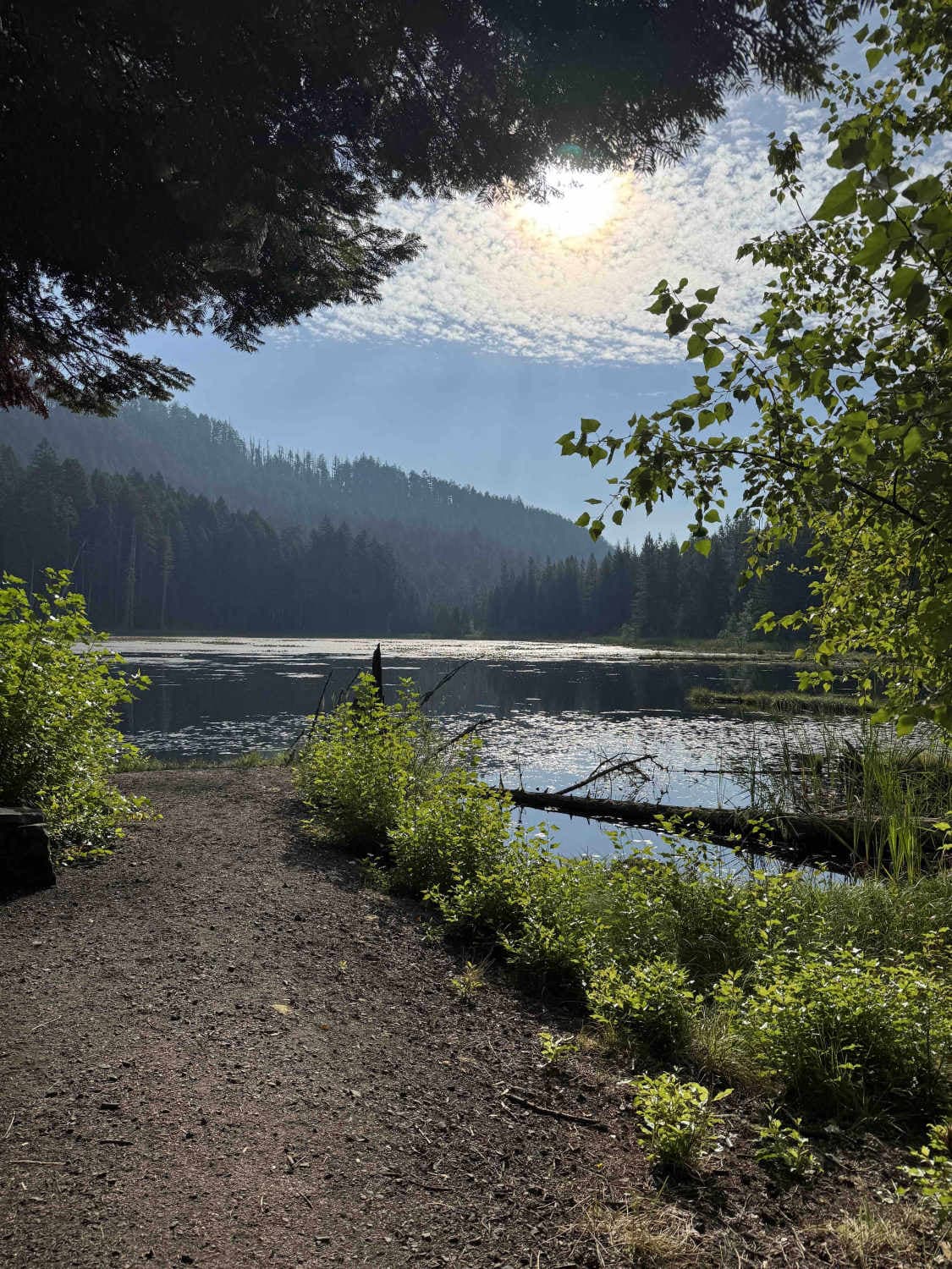
Skookum Pond
Total Miles
3.8
Tech Rating
Easy
Best Time
Spring, Summer, Fall, Winter
Learn more about Skull Creek to Horton MIll Connector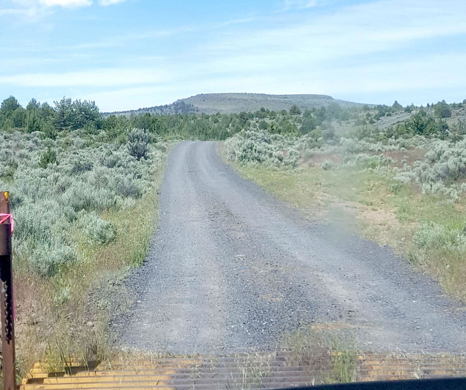
Skull Creek to Horton MIll Connector
Total Miles
14.8
Tech Rating
Easy
Best Time
Summer, Fall
Learn more about Skull Hollow - NF-5710
Skull Hollow - NF-5710
Total Miles
2.5
Tech Rating
Easy
Best Time
Spring, Summer, Fall
Learn more about Skyline Drive Trail
Skyline Drive Trail
Total Miles
8.0
Tech Rating
Moderate
Best Time
Summer
Learn more about Skyline Road - FS 31
Skyline Road - FS 31
Total Miles
29.3
Tech Rating
Easy
Best Time
Spring, Summer, Fall
Learn more about Skyline Road North
Skyline Road North
Total Miles
9.4
Tech Rating
Easy
Best Time
Spring, Summer, Fall
Learn more about Skyline Road/Olallie Lake - FR 4220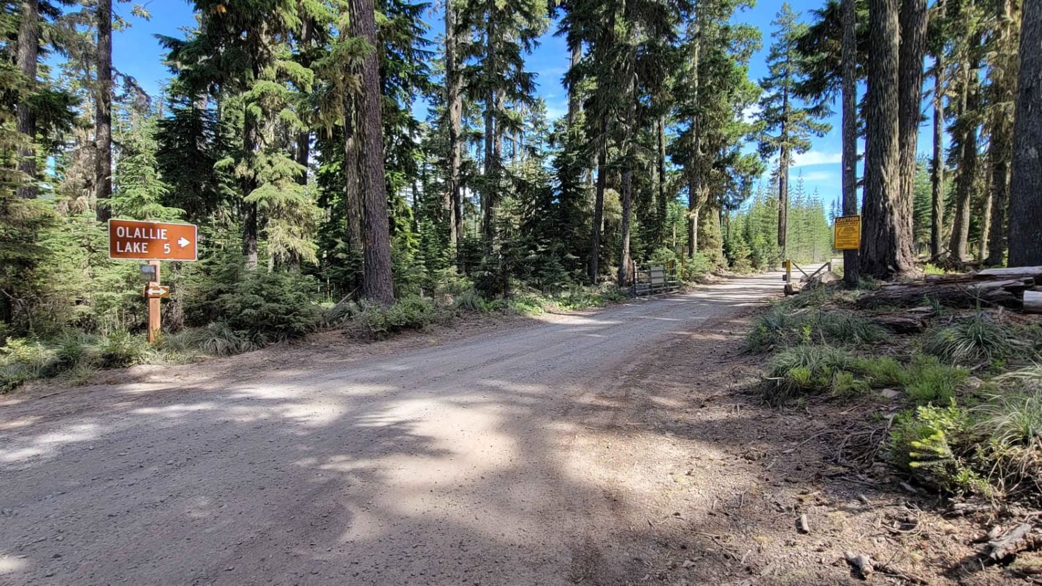
Skyline Road/Olallie Lake - FR 4220
Total Miles
6.5
Tech Rating
Easy
Best Time
Fall, Summer
Learn more about Smith Flat Huffman Camp
Smith Flat Huffman Camp
Total Miles
6.1
Tech Rating
Moderate
Best Time
Fall, Summer, Spring
Learn more about Snively Gultch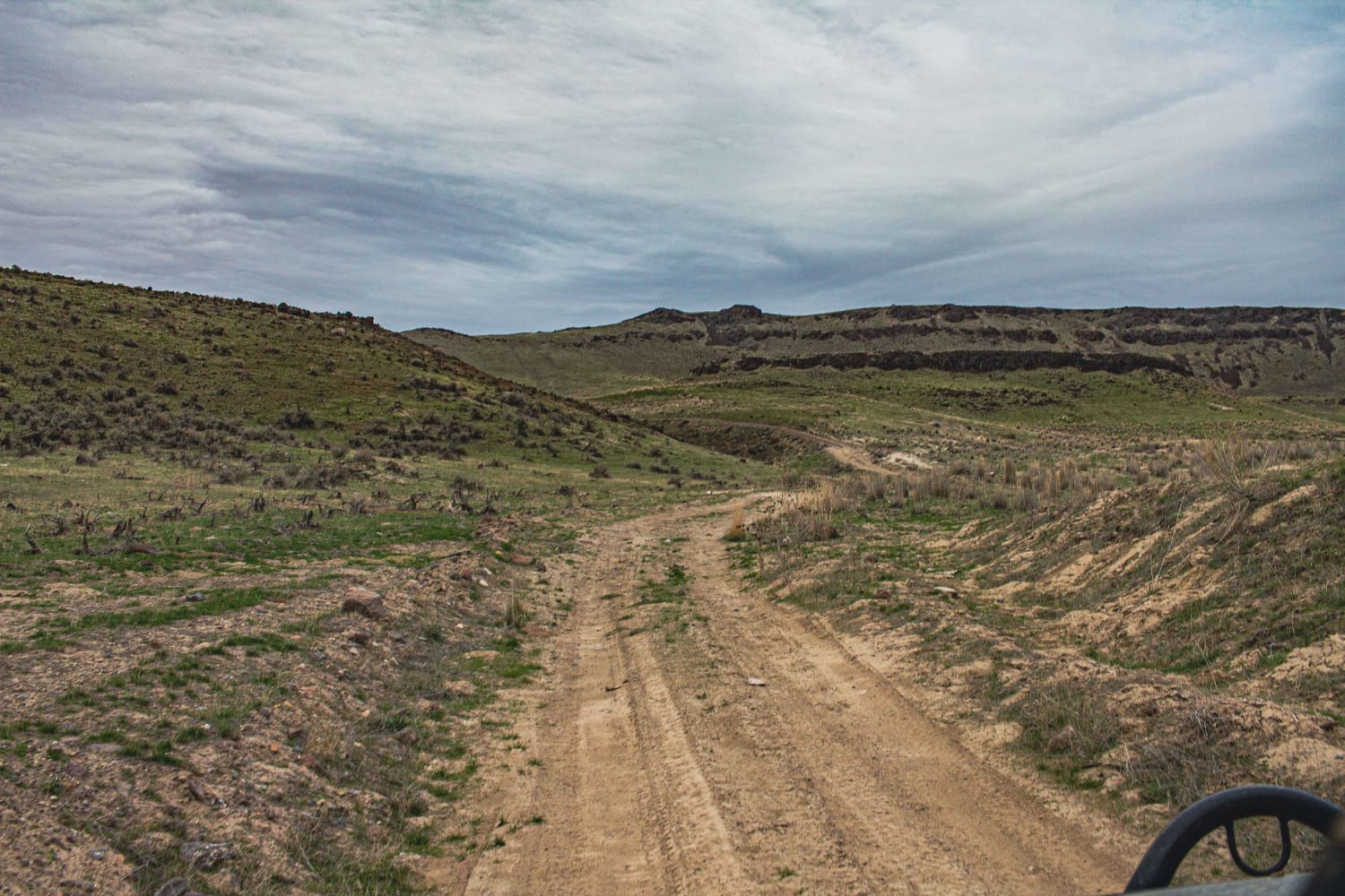
Snively Gultch
Total Miles
7.2
Tech Rating
Moderate
Best Time
Summer, Spring
Learn more about Snow Mountain Lookout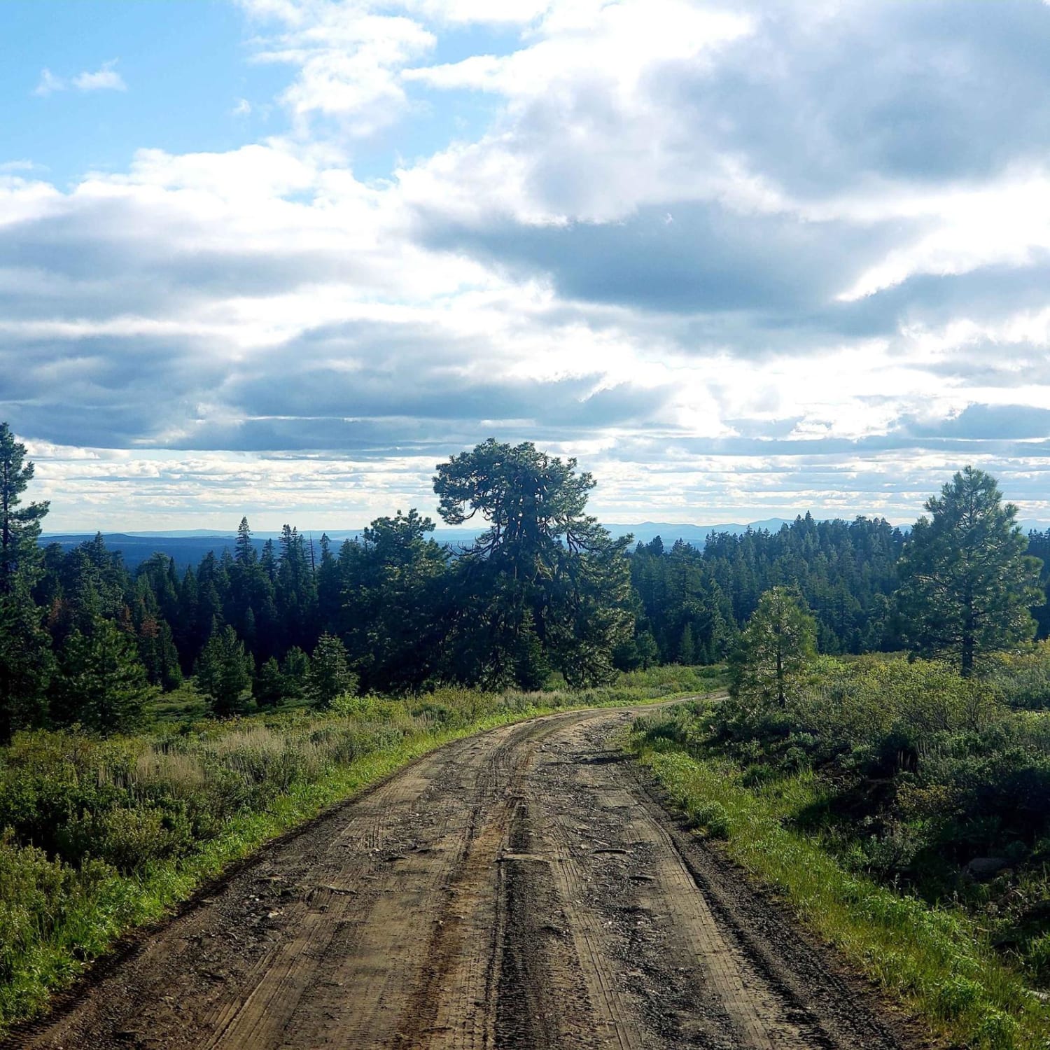
Snow Mountain Lookout
Total Miles
3.4
Tech Rating
Moderate
Best Time
Summer
ATV trails in Oregon


UTV/side-by-side trails in Oregon
Learn more about 10 Mile OHV Trail
10 Mile OHV Trail
Total Miles
1.6
Tech Rating
Easy
Best Time
Spring, Summer, Fall


The onX Offroad Difference
onX Offroad combines trail photos, descriptions, difficulty ratings, width restrictions, seasonality, and more in a user-friendly interface. Available on all devices, with offline access and full compatibility with CarPlay and Android Auto. Discover what you’re missing today!