Off-Road Trails in Oregon
Discover off-road trails in Oregon
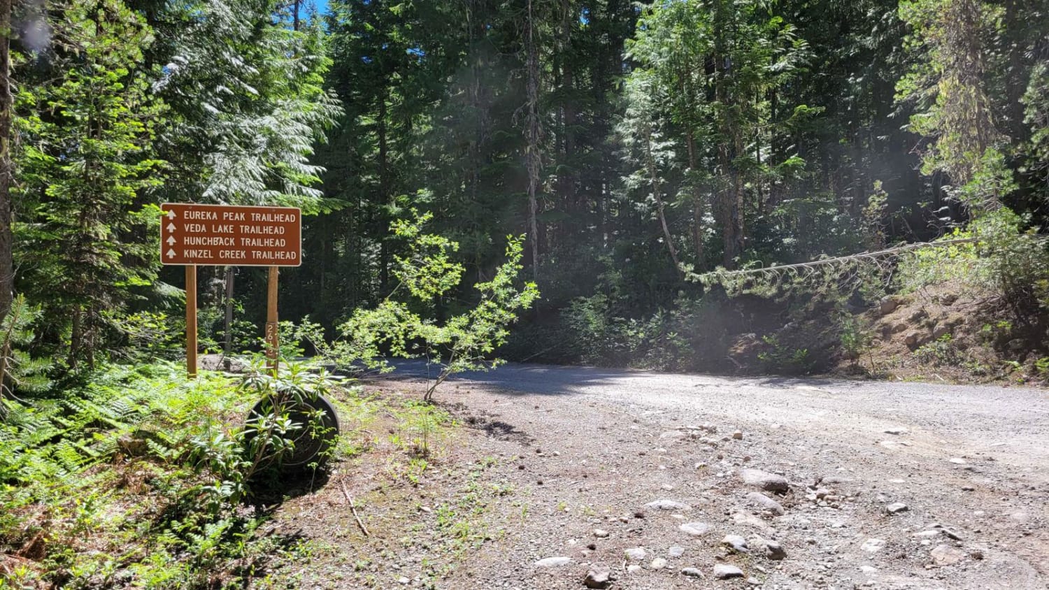
Learn more about Round Top Road
Round Top Road
Total Miles
5.2
Tech Rating
Easy
Best Time
Spring, Summer, Fall, Winter
Learn more about Route 5506 - Siuslaw Natl Forest
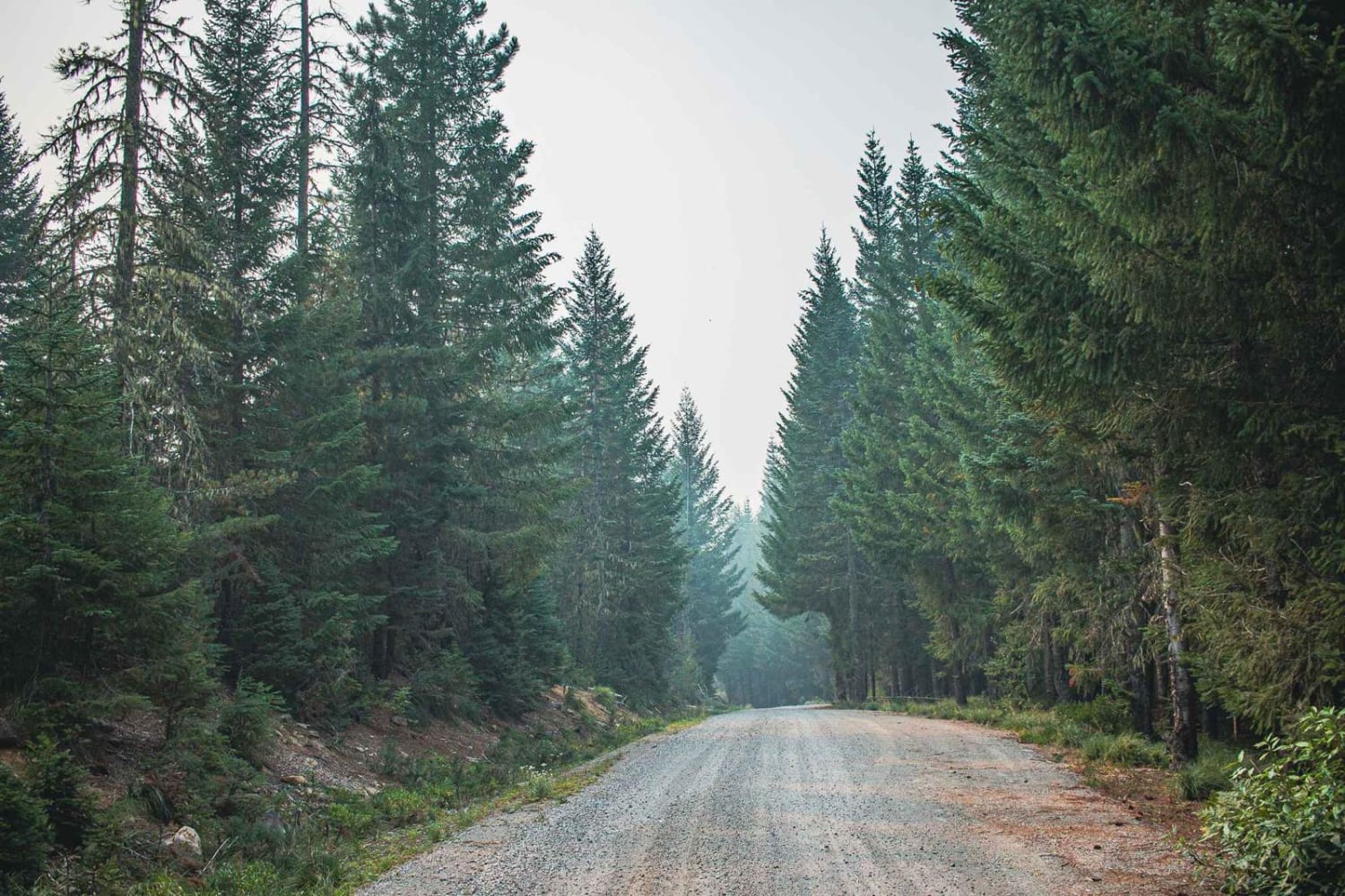
Route 5506 - Siuslaw Natl Forest
Total Miles
1.4
Tech Rating
Easy
Best Time
Summer
Learn more about Ry's Mainline Connection
Ry's Mainline Connection
Total Miles
6.4
Tech Rating
Easy
Best Time
Spring, Summer, Fall, Winter
Learn more about Salmon River Hiking Trail 2618000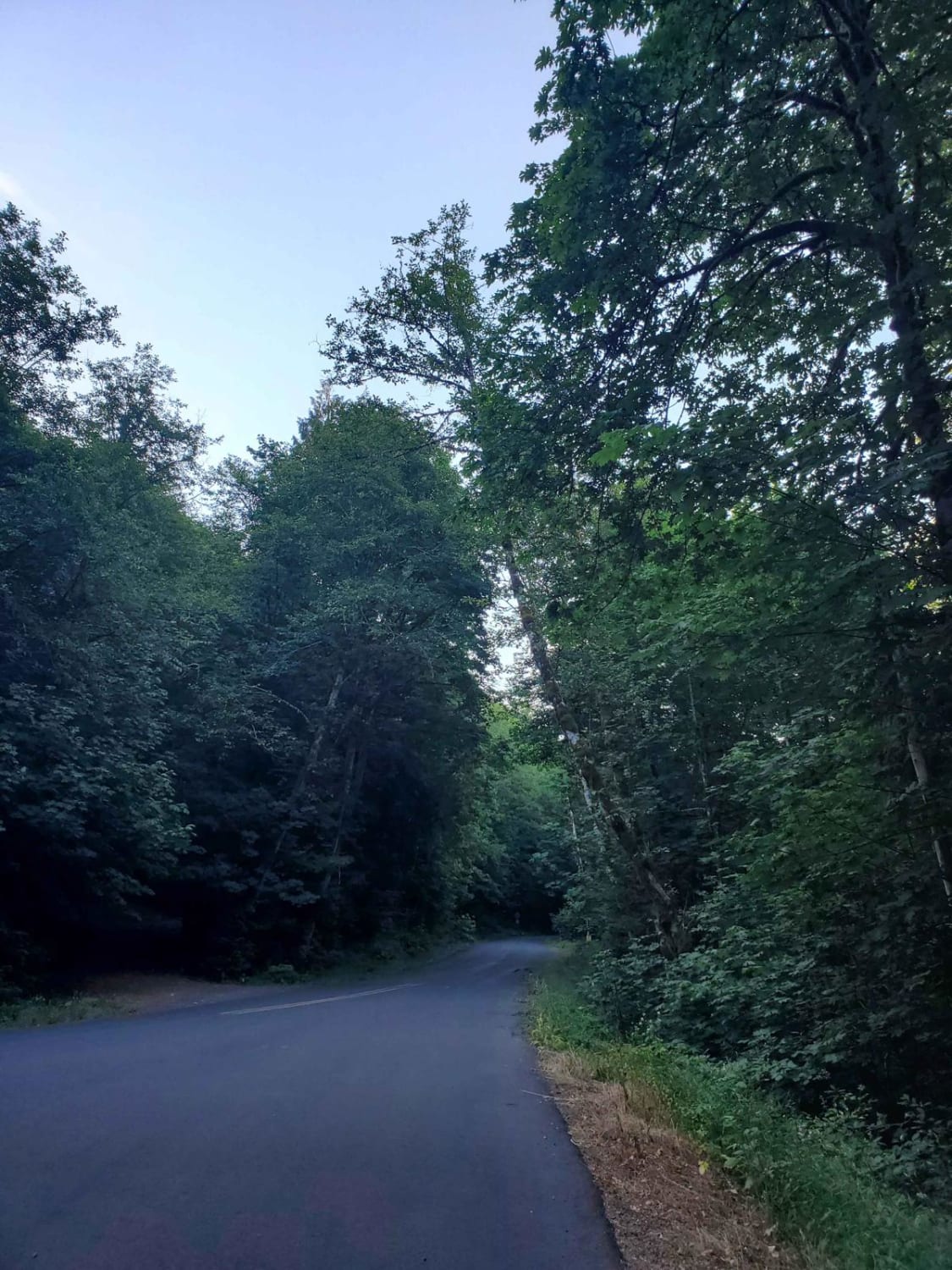
Salmon River Hiking Trail 2618000
Total Miles
3.5
Tech Rating
Easy
Best Time
Summer, Fall, Winter, Spring
Learn more about Salmonberry Railroad Tunnel Route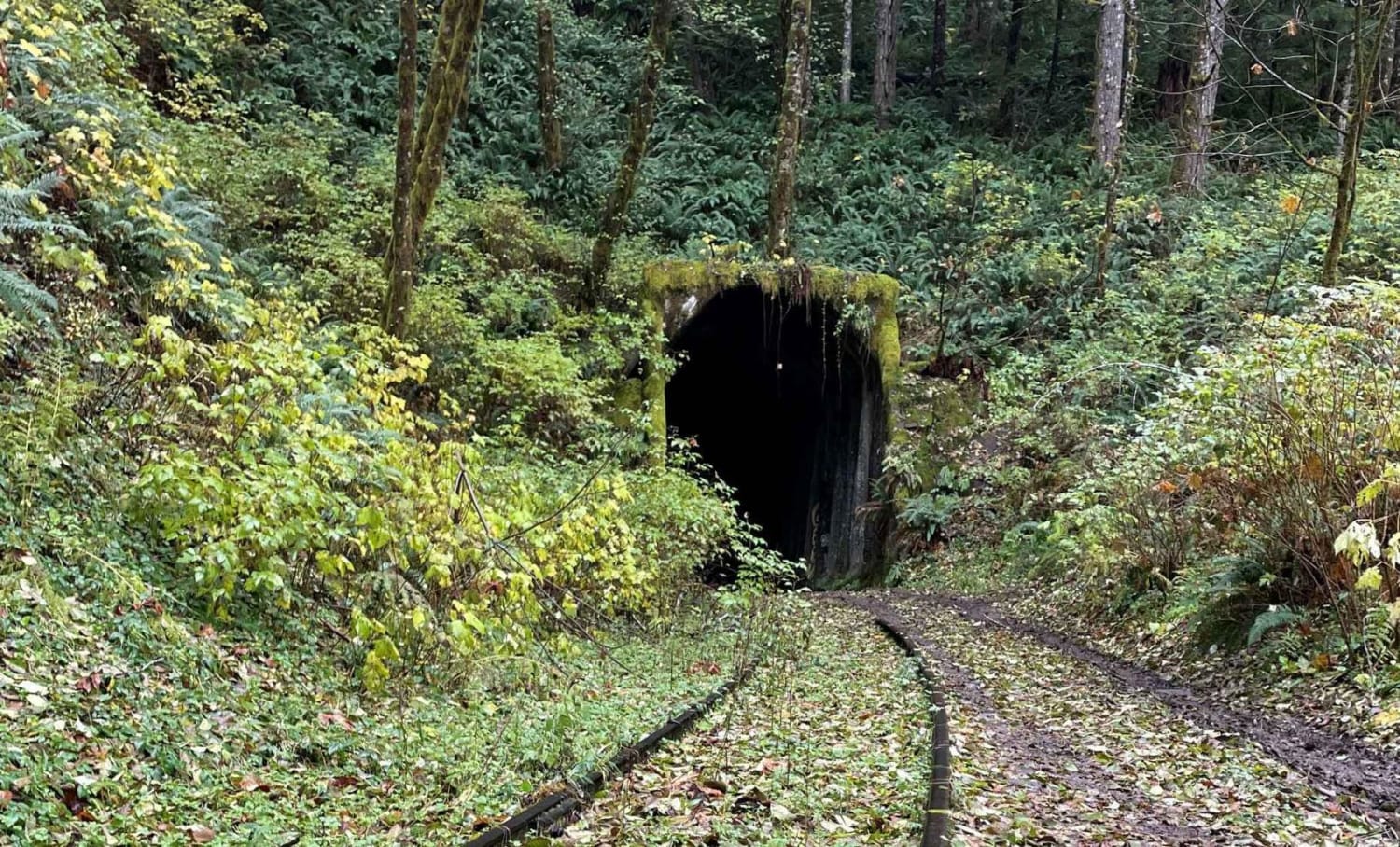
Salmonberry Railroad Tunnel Route
Total Miles
11.2
Tech Rating
Easy
Best Time
Summer, Fall
Learn more about Scenic Loop To Leslie Gulch Cutoff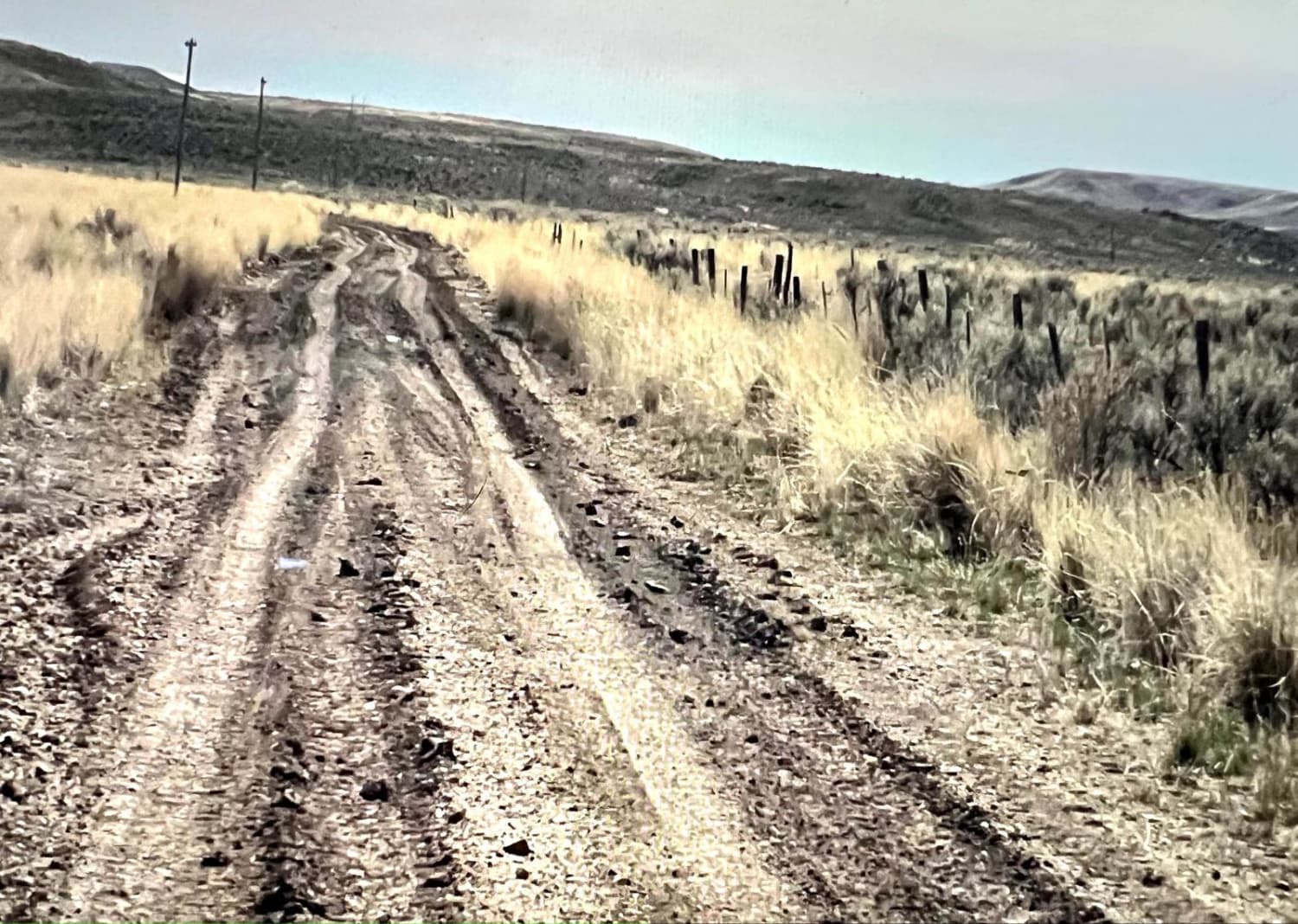
Scenic Loop To Leslie Gulch Cutoff
Total Miles
5.5
Tech Rating
Easy
Best Time
Spring, Summer, Fall
Learn more about Section 10 Road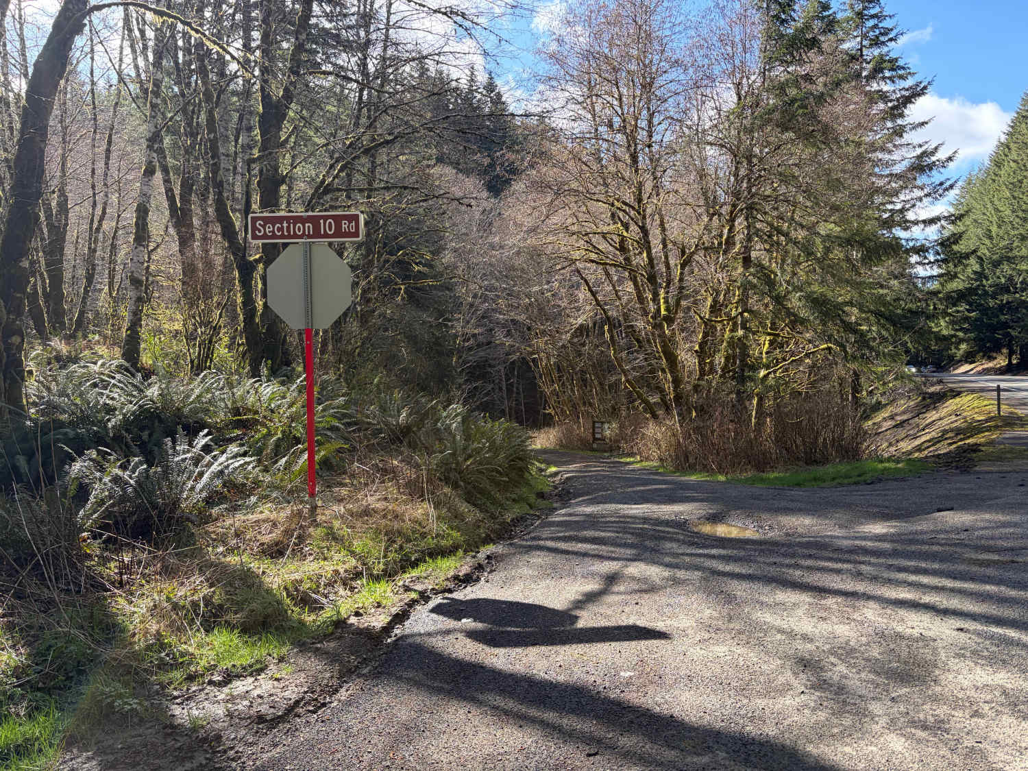
Section 10 Road
Total Miles
3.7
Tech Rating
Easy
Best Time
Spring, Summer, Fall
Learn more about Shadow of Calamity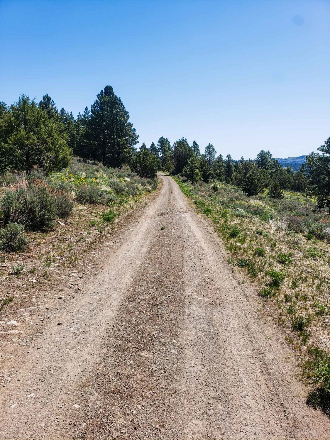
Shadow of Calamity
Total Miles
6.9
Tech Rating
Moderate
Best Time
Spring, Summer
Learn more about Shady Gap #5875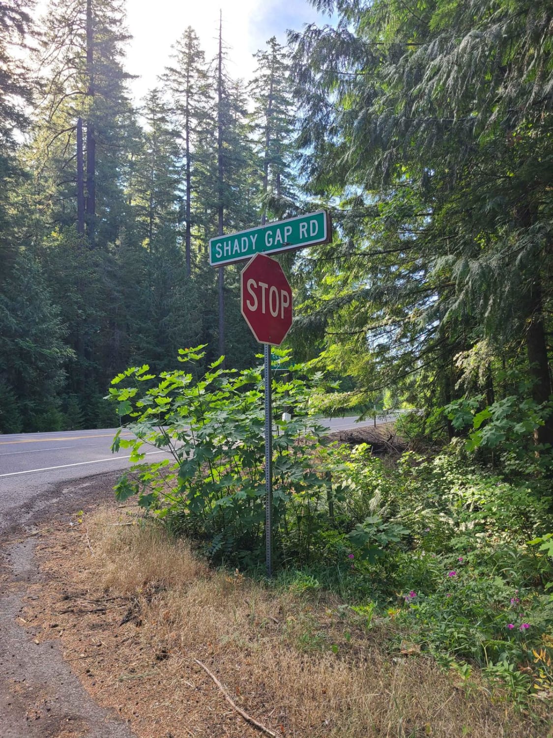
Shady Gap #5875
Total Miles
8.9
Tech Rating
Easy
Best Time
Summer, Spring, Fall
Learn more about Shaffer Road
Shaffer Road
Total Miles
5.0
Tech Rating
Easy
Best Time
Spring, Summer, Fall, Winter
Learn more about Sharps Ridge - FS 3026
Sharps Ridge - FS 3026
Total Miles
8.2
Tech Rating
Easy
Best Time
Summer, Fall, Winter

Learn more about Shiffman Road
Shiffman Road
Total Miles
7.0
Tech Rating
Easy
Best Time
Fall, Summer, Spring
ATV trails in Oregon


UTV/side-by-side trails in Oregon
Learn more about 10 Mile OHV Trail
10 Mile OHV Trail
Total Miles
1.6
Tech Rating
Easy
Best Time
Spring, Summer, Fall


The onX Offroad Difference
onX Offroad combines trail photos, descriptions, difficulty ratings, width restrictions, seasonality, and more in a user-friendly interface. Available on all devices, with offline access and full compatibility with CarPlay and Android Auto. Discover what you’re missing today!