Salmonberry Railroad Tunnel Route
Total Miles
11.2
Technical Rating
Best Time
Summer, Fall
Trail Type
Full-Width Road
Accessible By
Trail Overview
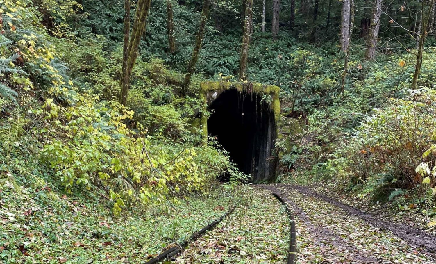
This route is an easy gravel road out and back route. The Beaver Slide Road dead ends at the Salmon Berry River where the road is washed out. There are many other logging roads that branch off. It would be pretty easy to find an alternate route on the way out for a change in scenery. The route is fairly level in most places. It descends pretty steeply once you reach Beaver Slide Road. There was only one spot on Beaver Slide Road that was a bit rough where the water had washed over the road. Would not recommend driving it in snow or icy conditions. Once you reach the river the tunnel is to your right. Get out, have lunch and go explore the abandoned Salmon Berry Railway Tunnel. Follow the tracks up the river to a trestle that is pretty to see as well. Check out this video to see our drive through this area! https://youtu.be/MICjSUVuW6M
Photos of Salmonberry Railroad Tunnel Route
Difficulty
Mostly gravel roads with a steeper section at the end.
History
Tunnel history -This cool railway tunnel is part of the Port of Tillamook Bay Railroad, which runs between Hillsboro and Tillamook Oregon. Known locally as the Salmonberry Railroad. Originally built by the Pacific Railway and Navigation Company between 1906 and 1911. The line, whose reporting mark was "PR&N", was nicknamed "Punk, Rotten, and Nasty," because the steep grades, hairpin curves, breathtaking trestles, and smoke from the firebox made passengers queasy. Fifteen years ago as of DEC 2nd 2022, the two-day Great Coastal Gale of 2007 pounded the Oregon Coast Range with hurricane-force winds and relentless rain. The storm eroded embankments and damaged tunnels, rendering the tracks impassable. Escalating costs dissuaded from making repairs, and the rails have gone unused ever since.
Status Reports
Salmonberry Railroad Tunnel Route can be accessed by the following ride types:
- High-Clearance 4x4
- SUV
- SxS (60")
- ATV (50")
- Dirt Bike
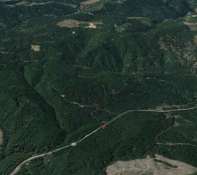
Salmonberry Railroad Tunnel Route Map
Popular Trails
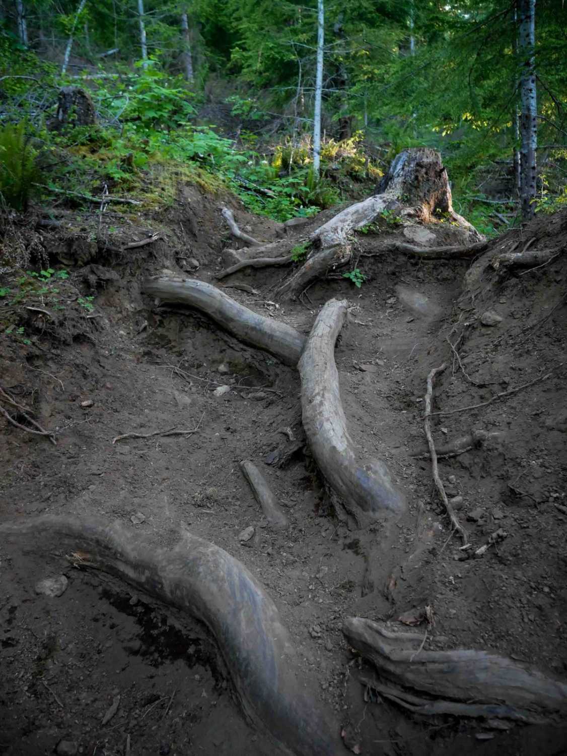
Beaverslide #52 (Extreme)
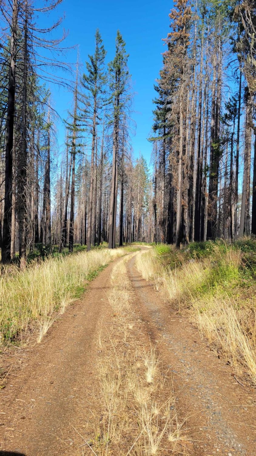
Page Mountain
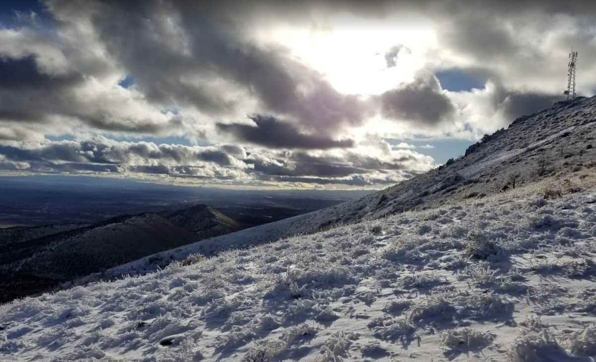
Gray Butte Summit
The onX Offroad Difference
onX Offroad combines trail photos, descriptions, difficulty ratings, width restrictions, seasonality, and more in a user-friendly interface. Available on all devices, with offline access and full compatibility with CarPlay and Android Auto. Discover what you’re missing today!
