Salmon River Hiking Trail 2618000
Total Miles
3.5
Technical Rating
Best Time
Summer, Fall, Winter, Spring
Trail Type
Full-Width Road
Accessible By
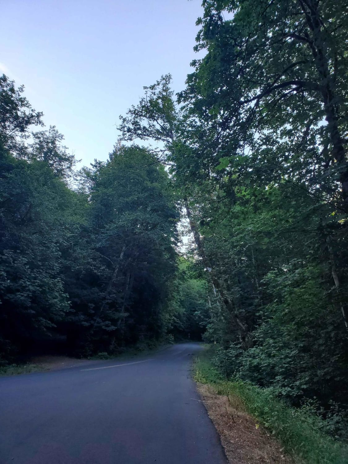
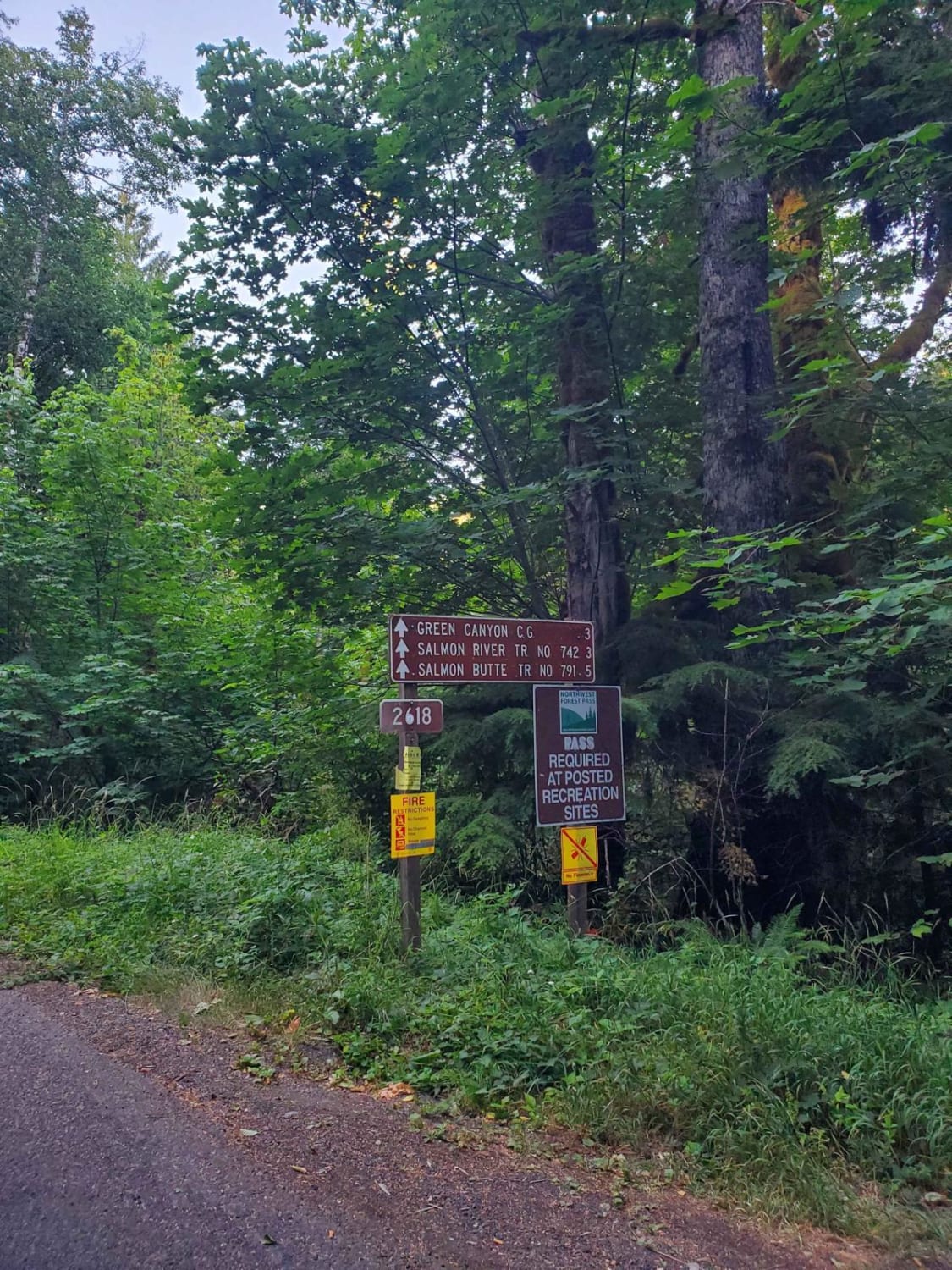
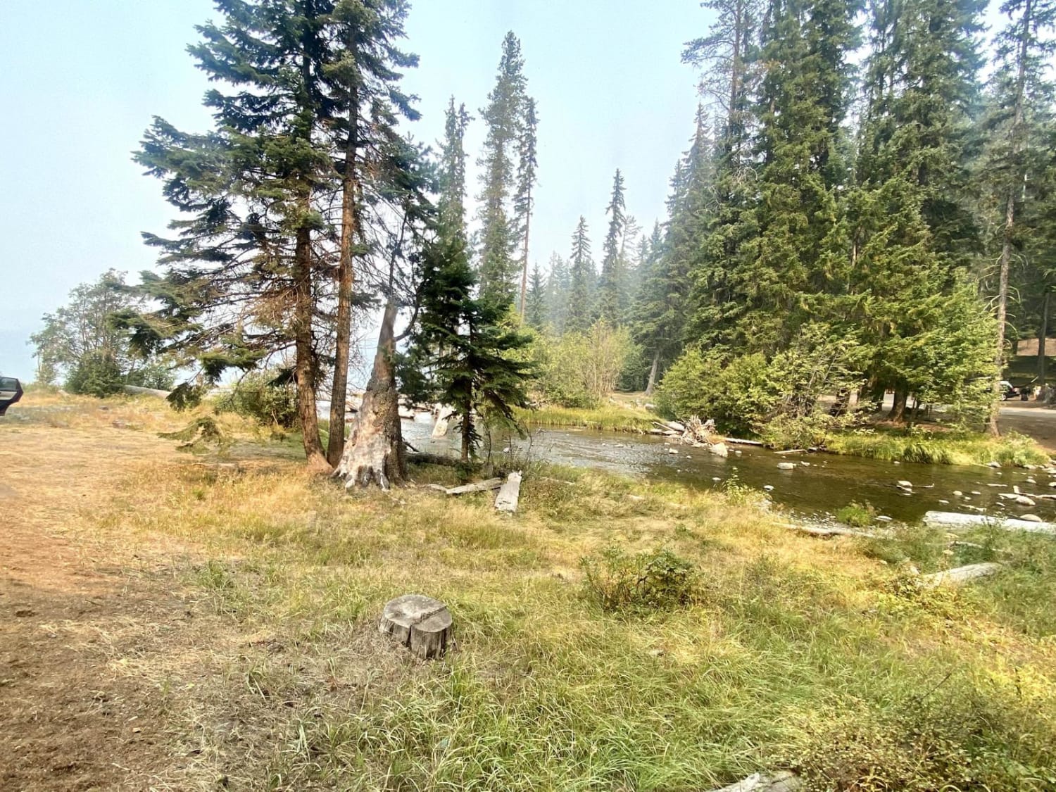
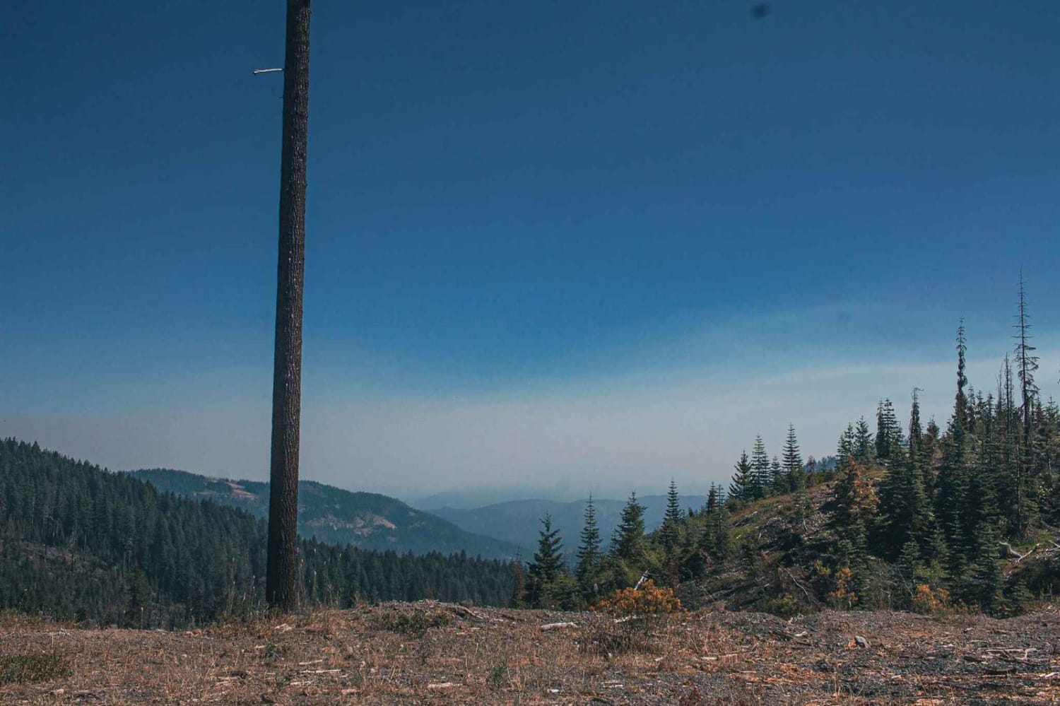
Trail Overview
Follow the beautiful Salmon River down to the dock or hiking trails. The long pavement becomes gravel as the road gets further and further into the hillside of the Salmon-Huckleberry Wilderness. This trail is mild with shallow potholes that would be no challenge for most. It's a nice, casual, beautiful drive fit for any adventure.
Photos of Salmon River Hiking Trail 2618000
Difficulty
There are shallow potholes and the road is often two cars wide.
Status Reports
Salmon River Hiking Trail 2618000 can be accessed by the following ride types:
- High-Clearance 4x4
- SUV
- SxS (60")
- ATV (50")
- Dirt Bike
Salmon River Hiking Trail 2618000 Map
Popular Trails
Lava Top Bute Caves
Millican Plateau Trail 84
Crescent Lake Trail
Doe Head Mountain
The onX Offroad Difference
onX Offroad combines trail photos, descriptions, difficulty ratings, width restrictions, seasonality, and more in a user-friendly interface. Available on all devices, with offline access and full compatibility with CarPlay and Android Auto. Discover what you’re missing today!